Allt-lwyd
Downs, Moorland in Merionethshire
Wales
Allt-lwyd
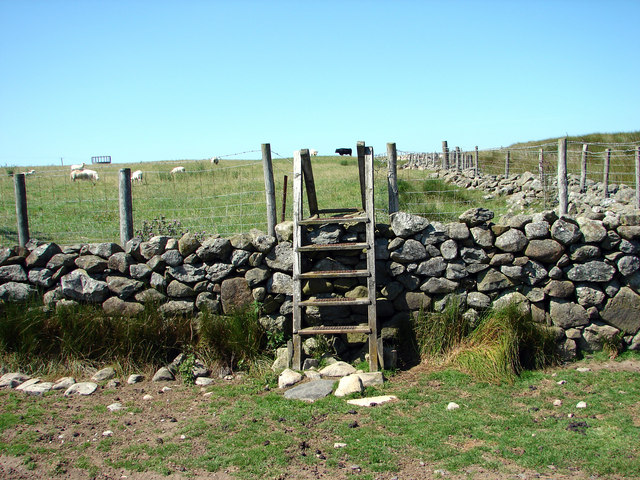
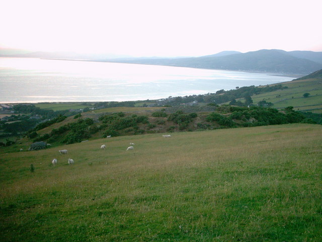
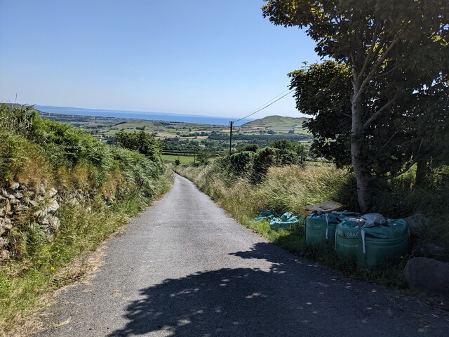
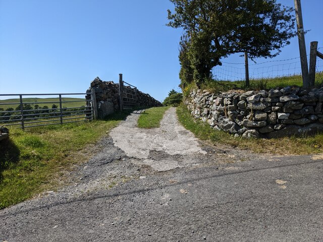
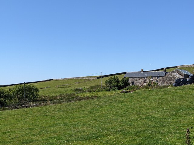
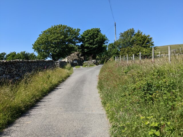
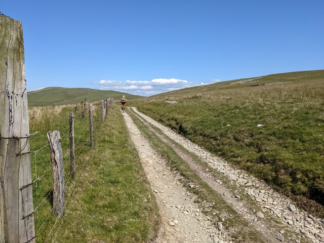
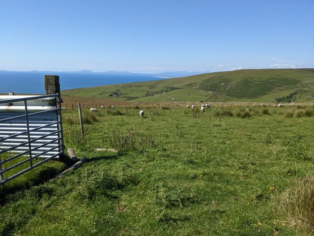
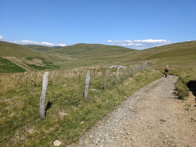
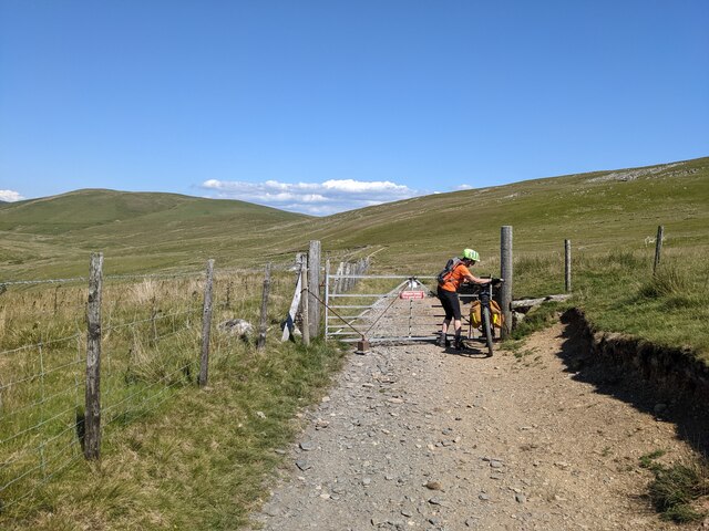
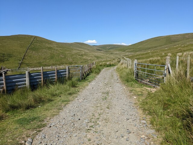
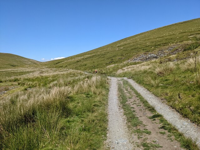
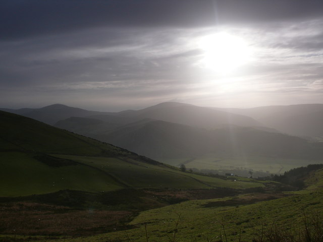
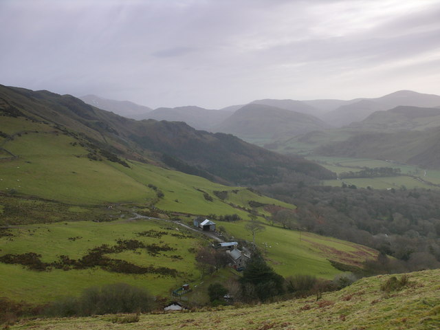
Allt-lwyd is a remote and picturesque area located in Merionethshire, Wales. Nestled amidst the stunning Welsh countryside, it is known for its vast downs and moorland. The landscape is characterized by rolling hills, open grasslands, and heather-covered moors. The area offers breathtaking panoramic views of the surrounding mountains and valleys.
The climate in Allt-lwyd can be described as temperate, with cool summers and mild winters. The region receives a moderate amount of rainfall throughout the year, which contributes to its lush greenery and vibrant flora. The area is home to a diverse range of plant and animal species, including several rare and protected species.
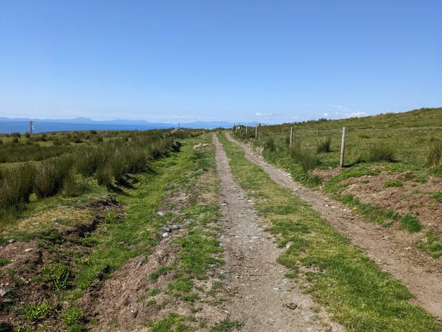
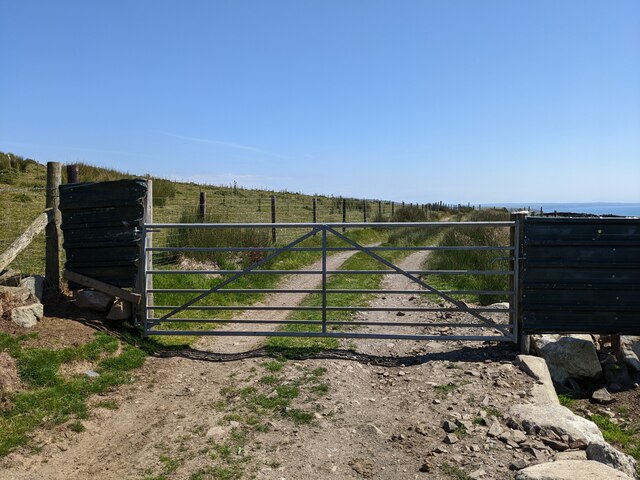
Allt-lwyd is a popular destination for nature lovers and outdoor enthusiasts. The downs and moorland provide ample opportunities for hiking, walking, and birdwatching. The area is crisscrossed by numerous footpaths and trails, allowing visitors to explore and immerse themselves in the natural beauty of the surroundings.
In addition to its natural attractions, Allt-lwyd is also known for its rich history and cultural heritage. The area is dotted with ancient ruins, stone circles, and burial sites, dating back to prehistoric times. These archaeological sites offer glimpses into the region's fascinating past and provide a sense of connection to the ancestors who once inhabited the land.
Overall, Allt-lwyd in Merionethshire is a captivating destination that combines stunning natural beauty with a rich historical and cultural heritage. Whether you are seeking solitude and tranquility or an adventure in the great outdoors, Allt-lwyd has something to offer for everyone.
If you have any feedback on the listing, please let us know in the comments section below.
Allt-lwyd Images
Images are sourced within 2km of 52.65251/-4.0527135 or Grid Reference SH6108. Thanks to Geograph Open Source API. All images are credited.
Allt-lwyd is located at Grid Ref: SH6108 (Lat: 52.65251, Lng: -4.0527135)
Unitary Authority: Gwynedd
Police Authority: North Wales
What 3 Words
///flap.ranches.windmill. Near Barmouth, Gwynedd
Nearby Locations
Related Wikis

Peniarth
Peniarth is a village in the community of Meifod, Powys, Wales. It is 87.1 miles (140.2 km) from Cardiff and 156.9 miles (252.5 km) from London. It is...

Llwyngwril
Llwyngwril () is a coastal village, in Llangelynnin community, two miles north of the village of Llangelynnin and eleven miles south-west of Dolgellau...

Llwyngwril railway station
Llwyngwril railway station serves the village of Llwyngwril in Gwynedd, Wales. The station is an unstaffed halt on the Cambrian Coast Railway with passenger...

Llanegryn
Llanegryn is a village and a community in Gwynedd, north-west Wales. It was formerly part of the historic county of Merionethshire (Welsh: Meirionnydd...
Ysgol Craig y Deryn
Ysgol Craig y Deryn is a Welsh-medium primary school in Llanegryn in Gwynedd. == General == The school is named after Craig yr Aderyn, a notable hill on...

Craig yr Aderyn
Craig yr Aderyn, also known as Bird's Rock, is a hill rising to a height of 258 metres (846 ft) above sea level on the south bank of the River Dysynni...

Abertrinant
Abertrinant is a small settlement in Gwynedd, Wales. It is 7 kilometres (4 mi) northeast of the town of Tywyn. == External links == www.geograph.co.uk...

A493 road
The A493 is a road located on the west coast of mid Wales and connects Dolgellau to Machynlleth via the coast, avoiding Corris and Cross Foxes. == Route... ==
Nearby Amenities
Located within 500m of 52.65251,-4.0527135Have you been to Allt-lwyd?
Leave your review of Allt-lwyd below (or comments, questions and feedback).