Milky Brae

Downs, Moorland in Kirkcudbrightshire

Scotland

Milky Brae

Ayr Road (A713), St. John's Town of Dalry
Ayr Road (A713), St. John's Town of Dalry Credit: habiloid

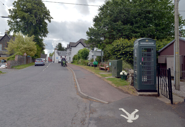
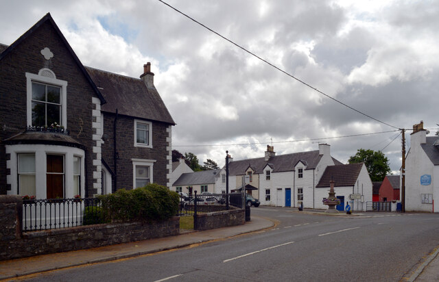
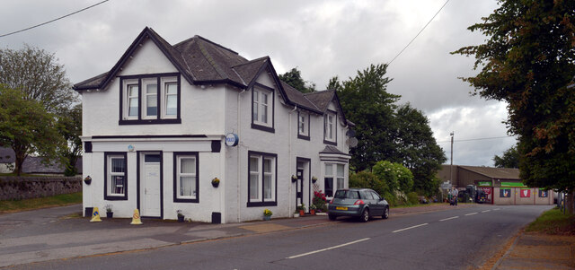
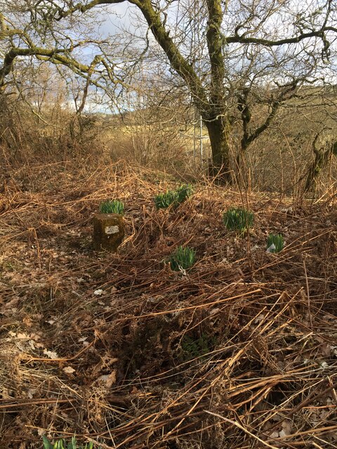
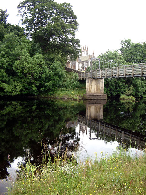
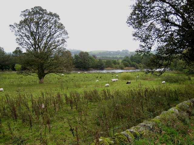
Milky Brae, located in Kirkcudbrightshire, is a picturesque area encompassing both downs and Moorland landscapes. Situated in the southwestern part of Scotland, this region offers visitors a unique natural beauty and a tranquil atmosphere.

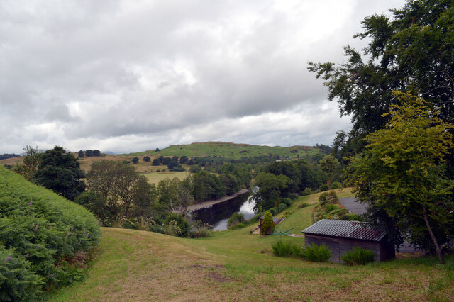
The downs of Milky Brae are characterized by rolling hills and expansive grasslands. These open spaces provide breathtaking views of the surrounding countryside, with its patchwork of green fields and scattered farmsteads. The downs offer a peaceful retreat for those looking to escape the hustle and bustle of urban life.

Adjacent to the downs, the Moorland of Milky Brae adds another layer of charm to the area. Moorland is characterized by its heather-covered hills, scattered bogs, and diverse wildlife. Visitors to Milky Brae can enjoy walking or hiking through this rugged terrain, taking in the panoramic views and encountering various species of birds, including grouse and birds of prey.

Milky Brae is also home to a variety of flora and fauna, making it an ideal destination for nature enthusiasts. The area is known for its wildflowers, including delicate orchids and vibrant bluebells, which add a splash of color to the landscape. Wildlife such as deer, foxes, and badgers can also be spotted in the area, making it a haven for animal lovers.

Overall, Milky Brae in Kirkcudbrightshire offers a diverse natural environment, combining downs and Moorland landscapes. With its stunning views, rich wildlife, and peaceful ambiance, it is a place where visitors can immerse themselves in the beauty of nature.

If you have any feedback on the listing, please let us know in the comments section below.
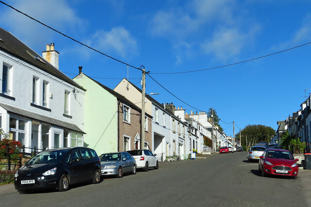
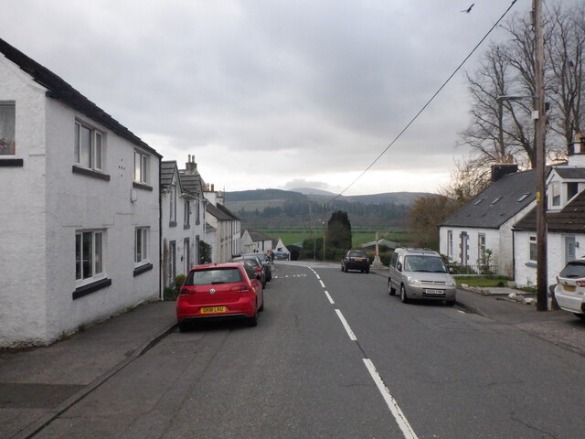
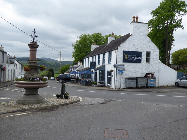
Milky Brae Images

Images are sourced within 2km of 55.091563/-4.1757354 or Grid Reference NX6179. Thanks to Geograph Open Source API. All images are credited.

Ayr Road (A713), St. John's Town of Dalry
Ayr Road (A713), St. John's Town of Dalry Looking towards its junction with Main Street.
Ayr Road (A713), St. John's Town of Dalry
Looking towards its junction with Main Street.
Police station, Ayr Road (A713), St. John's Town of Dalry
Water of Ken, St. John's Town of Dalry The view from the service station on Ayr Road.
Water of Ken, St. John's Town of Dalry
The view from the service station on Ayr Road.
Fundamental Benchmark Dalry Also known as an FBM or mini trig point however this is not a trig point and is nothing to do with triangulation

<span class="nowrap"><a title="https://trigpointing.uk/trig/7193" rel="nofollow ugc noopener" href="https://trigpointing.uk/trig/7193">Link</a><img style="margin-left:2px;" alt="External link" title="External link - shift click to open in new window" src="https://s1.geograph.org.uk/img/external.png" width="10" height="10"/></span>

<span class="nowrap"><a title="https://trigpointing.uk/wiki/FBM" rel="nofollow ugc noopener" href="https://trigpointing.uk/wiki/FBM">Link</a><img style="margin-left:2px;" alt="External link" title="External link - shift click to open in new window" src="https://s1.geograph.org.uk/img/external.png" width="10" height="10"/></span>
An underground chamber topped with a short granite pillar. The pillar contains an easily accessible height reference point, but the accurately measured level is underground where it is less likely to be disturbed. There are approximately 207 FBMs across the country and whilst a few have fallen into disuse, most have been incorporated into the National GPS Network as Passive Stations.
For a detailed breakdown of the different types of FBM, see Ian Richardson's FBM styles - A Pictorial Guide.
Fundamental Benchmark Dalry
Also known as an FBM or mini trig point however this is not a trig point and is nothing to do with triangulation LinkExternal link LinkExternal link An underground chamber topped with a short granite pillar. The pillar contains an easily accessible height reference point, but the accurately measured level is underground where it is less likely to be disturbed. There are approximately 207 FBMs across the country and whilst a few have fallen into disuse, most have been incorporated into the National GPS Network as Passive Stations. For a detailed breakdown of the different types of FBM, see Ian Richardson's FBM styles - A Pictorial Guide.
Main Street, Dalry Most through traffic misses Main Street which lies off the A713.
Main Street, Dalry
Most through traffic misses Main Street which lies off the A713.
Main Street, Dalry
Main Street, Dalry
The Southern Upland Way near St John's Town of Dalry
The Southern Upland Way in St John's Town of Dalry
St. John's Town of Dalry Bridge over Water of Ken.
St. John's Town of Dalry
Bridge over Water of Ken.
Glenlee Power Station The chief station of the Galloway Hydro Scheme, from where all the other power stations are controlled.
Glenlee Power Station
The chief station of the Galloway Hydro Scheme, from where all the other power stations are controlled.
Glenlee Power Station Water from Clatteringshaws Loch is conveyed by a 6km tunnel to a valve house above the power station, the pipe line is concrete through hillside then mild steel from portal valve to station & into the turbines.
Glenlee Power Station
Water from Clatteringshaws Loch is conveyed by a 6km tunnel to a valve house above the power station, the pipe line is concrete through hillside then mild steel from portal valve to station & into the turbines.
Glenlee Power Station Tailrace taking the water from the power station back to the Water of Ken to be re-used by the next station in the chain.
Glenlee Power Station
Tailrace taking the water from the power station back to the Water of Ken to be re-used by the next station in the chain.
View across the Holm of Dalry Mist in the hills to the south west of St. John's Town of Dalry.
View across the Holm of Dalry
Mist in the hills to the south west of St. John's Town of Dalry.
St John's Town of Dalry This beautifully situated village located on a slope leading down to the Water of Ken developed to serve pilgrims on their way to St Ninian's Cathedral Church at Whithorn. Today this is a popular stop of point for walkers on The Southern Upland Way which passes through the village, This photo is in the heart of the village with the popular Clachan Inn on the left.
St John's Town of Dalry
This beautifully situated village located on a slope leading down to the Water of Ken developed to serve pilgrims on their way to St Ninian's Cathedral Church at Whithorn. Today this is a popular stop of point for walkers on The Southern Upland Way which passes through the village, This photo is in the heart of the village with the popular Clachan Inn on the left.
Main Street, St John's Town of Dalry Standing on the Gridline looking uphill along the Main Street of this beautiful village. This part of the village was built as part of a planned development in the 1700's by the Earl of Galloway.
Main Street, St John's Town of Dalry
Standing on the Gridline looking uphill along the Main Street of this beautiful village. This part of the village was built as part of a planned development in the 1700's by the Earl of Galloway.
Water of Ken A short way below St John's Town of Dalry.
Water of Ken
A short way below St John's Town of Dalry.
Show me another place!

Milky Brae is located at Grid Ref: NX6179 (Lat: 55.091563, Lng: -4.1757354)

Unitary Authority: Dumfries and Galloway

Police Authority: Dumfries and Galloway

What 3 Words

///mows.garden.boil. Near Castle Douglas, Dumfries & Galloway

Related Wikis

St John's Town of Dalry

St John's Town of Dalry (Scottish Gaelic: Clachan Eòin), usually referred to simply as Dalry (/dæl'raɪ/ / 'dal-RYE'), is a village in Dumfries and Galloway...

Kells, Dumfries and Galloway

Kells parish, in the Stewartry of Kirkcudbright in Scotland, is located 14 miles (NWbN) from Castle-Douglas, and 19 miles (NbW) from Kirkcudbright. It...

New Galloway Town Hall

The New Galloway Town Hall is a municipal building in Dumfries and Galloway, Scotland, situated on the town's high street. A tolbooth has existed on the...

Ken Bridge

The Ken Bridge is a road bridge about 0.8 kilometres (0.5 mi) north east of New Galloway in Dumfries and Galloway, Scotland, which carries the A712 road...

New Galloway

New Galloway (Scottish Gaelic: Gall-Ghàidhealaibh Nuadh) is a town in the historical county of Kirkcudbrightshire in Dumfries and Galloway. It lies on...

Water of Ken

The Water of Ken is a river in the historical county of Kirkcudbrightshire in Galloway, south-west Scotland. It rises on Blacklorg Hill, north-east of...

Kenmure Castle

Kenmure Castle is a fortified house or castle in The Glenkens, 1 mile (1.6 km) south of the town of New Galloway in Kirkcudbrightshire, Galloway, south...

Balmaclellan

Balmaclellan (Scottish Gaelic: Baile Mac-a-ghille-dhiolan, meaning town of the MacLellans) is a small hillside village of stone houses with slate roofs...

Nearby Amenities

Located within 500m of 55.091563,-4.1757354
Shiel Hill
Ele: 198
Natural: peak
Note: OS7 says 650 feet
Source: OS7
Lat/Long: 55.0882747/-4.1806715
Power: pole
Lat/Long: 55.095328/-4.1722417
Power: pole
Lat/Long: 55.0949084/-4.1719667
Power: pole
Lat/Long: 55.0942404/-4.1714504
Power: pole
Lat/Long: 55.0937905/-4.1708782
Power: pole
Lat/Long: 55.0934513/-4.1703924
Power: pole
Lat/Long: 55.0930272/-4.1699643
Power: pole
Lat/Long: 55.0924618/-4.169425
Power: pole
Lat/Long: 55.0918988/-4.1689104
Power: pole
Lat/Long: 55.0913852/-4.1684329
Power: pole
Lat/Long: 55.0888548/-4.1704851
Power: pole
Lat/Long: 55.0891833/-4.1718315
Power: pole
Lat/Long: 55.0893854/-4.1726677
Power: pole
Lat/Long: 55.0897189/-4.1740443
Power: pole
Lat/Long: 55.0900592/-4.1754571
Power: pole
Lat/Long: 55.0903875/-4.1768247
Power: pole
Lat/Long: 55.0906743/-4.1780503
Power: pole
Lat/Long: 55.0909783/-4.1793303
Power: pole
Lat/Long: 55.0913031/-4.1806797
Power: pole
Lat/Long: 55.0915761/-4.1817876
Power: pole
Lat/Long: 55.0918957/-4.182968
The data included in this document is from www.openstreetmap.org. The data is made available under ODbL.

Have you been to Milky Brae?

Leave your review of Milky Brae below (or comments, questions and feedback).