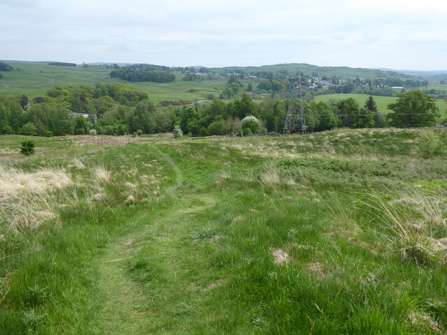
Gaistone Brae
Downs, Moorland in Kirkcudbrightshire
Scotland
Gaistone Brae
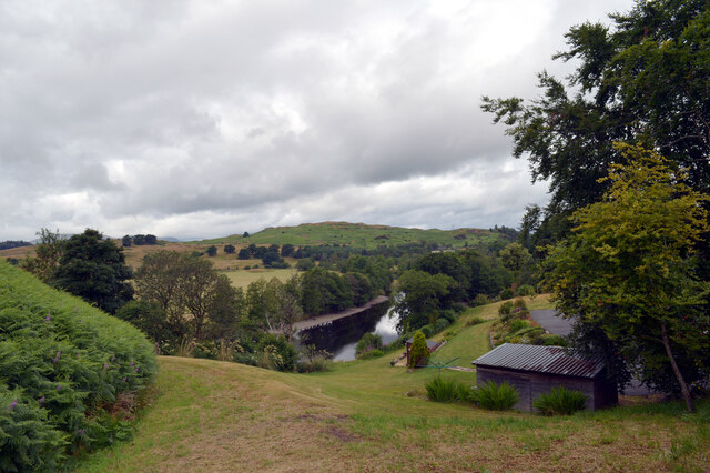
Galloway Braes, located in Kirkcudbrightshire, Scotland, is a picturesque area known for its breathtaking landscape of downs and moorland. Gaistone Brae, a prominent feature of this region, is a testament to the natural beauty of the area.
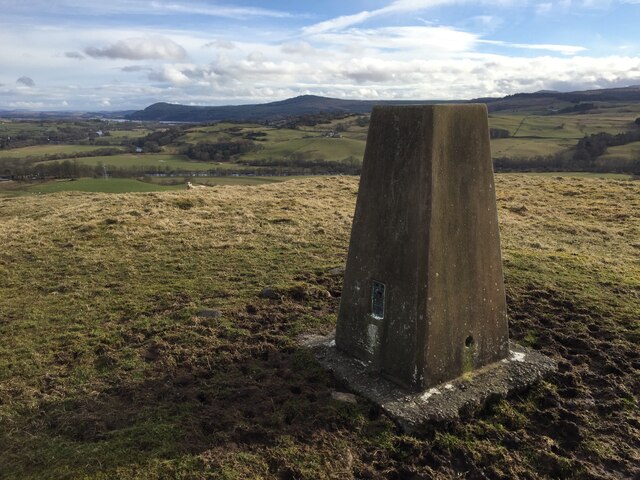
Situated in the heart of Galloway Forest Park, Gaistone Brae stands as a prominent hill, offering panoramic views of the surrounding countryside. The hill is covered in heather and grasses, creating a vibrant tapestry of colors that change with the seasons. The area is also home to an abundance of wildlife, including deer, birds, and various species of flora and fauna.
The terrain of Gaistone Brae is gently rolling, with undulating slopes that make it an ideal place for walking and hiking. The hill provides a challenge for outdoor enthusiasts, while also catering to those seeking a more leisurely stroll. The paths are well-maintained, allowing visitors to easily explore the area and take in the magnificent vistas.
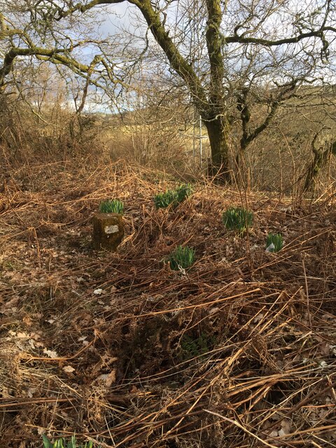
Gaistone Brae is not only renowned for its natural beauty but also for its historical significance. The area has a rich cultural heritage, with ancient stone circles and standing stones scattered throughout the landscape. These ancient monuments offer a glimpse into the past and provide a fascinating insight into the lives of those who once inhabited the area.
Overall, Gaistone Brae in Kirkcudbrightshire is a captivating destination that showcases the diversity and splendor of Scotland's downs and moorland. Whether it be for hiking, wildlife spotting, or simply enjoying the tranquility of nature, this area offers a truly unique and unforgettable experience for visitors.
If you have any feedback on the listing, please let us know in the comments section below.
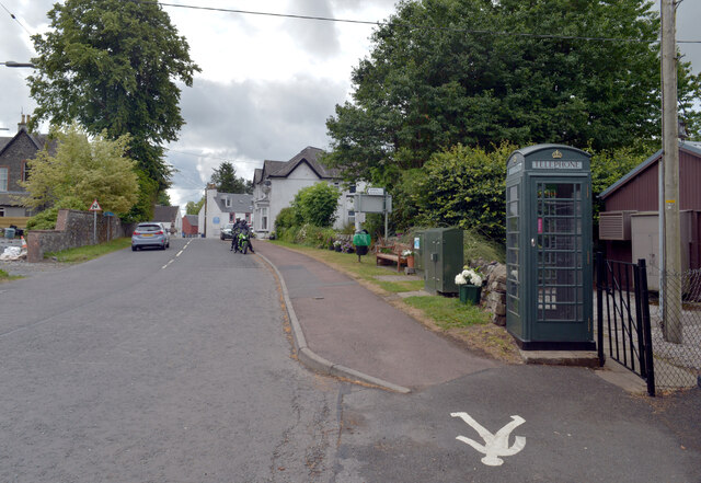
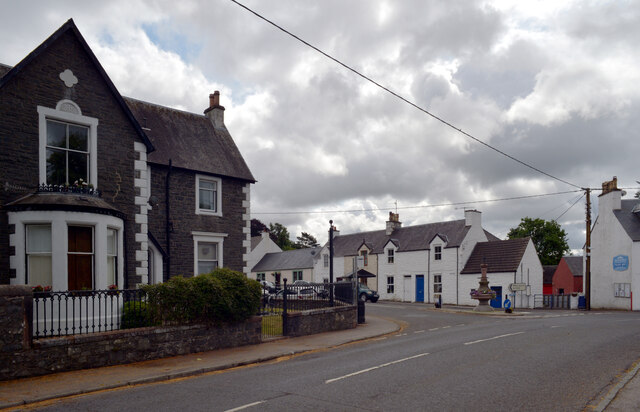
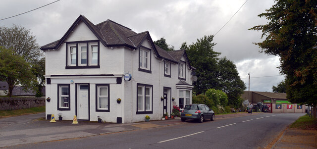
Gaistone Brae Images
Images are sourced within 2km of 55.09457/-4.1719648 or Grid Reference NX6179. Thanks to Geograph Open Source API. All images are credited.


Gaistone Brae is located at Grid Ref: NX6179 (Lat: 55.09457, Lng: -4.1719648)
Unitary Authority: Dumfries and Galloway
Police Authority: Dumfries and Galloway
What 3 Words
///staining.limped.dice. Near Castle Douglas, Dumfries & Galloway
Nearby Locations
Related Wikis

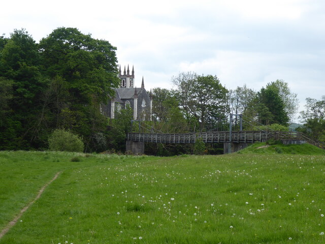
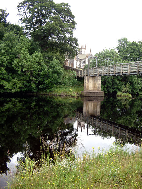
St John's Town of Dalry
St John's Town of Dalry (Scottish Gaelic: Clachan Eòin), usually referred to simply as Dalry (/dæl'raɪ/ / 'dal-RYE'), is a village in Dumfries and Galloway...

Kells, Dumfries and Galloway
Kells parish, in the Stewartry of Kirkcudbright in Scotland, is located 14 miles (NWbN) from Castle-Douglas, and 19 miles (NbW) from Kirkcudbright. It...

Ken Bridge
The Ken Bridge is a road bridge about 0.8 kilometres (0.5 mi) north east of New Galloway in Dumfries and Galloway, Scotland, which carries the A712 road...

New Galloway Town Hall
The New Galloway Town Hall is a municipal building in Dumfries and Galloway, Scotland, situated on the town's high street. A tolbooth has existed on the...

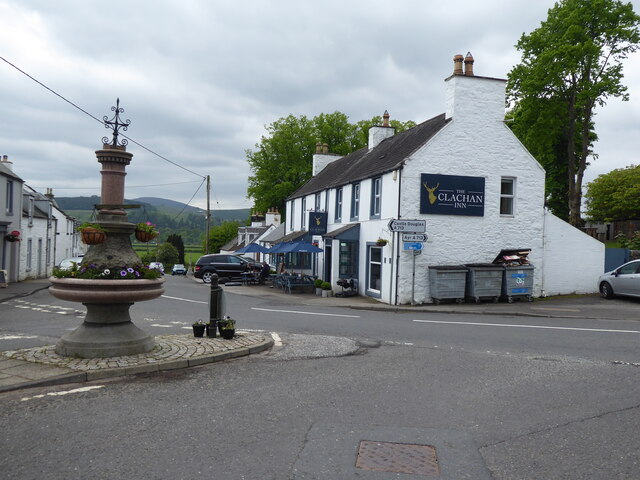
New Galloway
New Galloway (Scottish Gaelic: Gall-Ghàidhealaibh Nuadh) is a town in the historical county of Kirkcudbrightshire in Dumfries and Galloway. It lies on...

Water of Ken
The Water of Ken is a river in the historical county of Kirkcudbrightshire in Galloway, south-west Scotland. It rises on Blacklorg Hill, north-east of...

Balmaclellan
Balmaclellan (Scottish Gaelic: Baile Mac-a-ghille-dhiolan, meaning town of the MacLellans) is a small hillside village of stone houses with slate roofs...

Earlstoun Castle
Earlstoun Castle, sometimes spelled Earlston Castle, is a derelict tower house near St John's Town of Dalry in Dumfries and Galloway, Scotland. Built in...
Nearby Amenities
Located within 500m of 55.09457,-4.1719648Have you been to Gaistone Brae?
Leave your review of Gaistone Brae below (or comments, questions and feedback).