West Braes
Downs, Moorland in Ayrshire
Scotland
West Braes
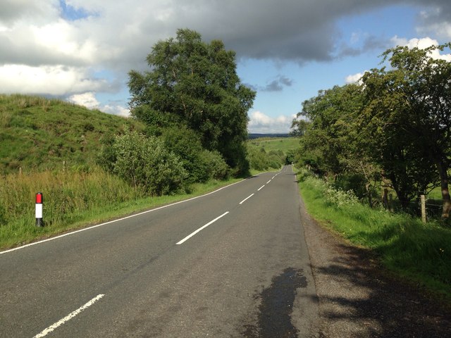
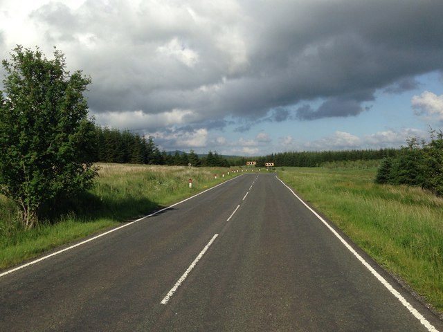
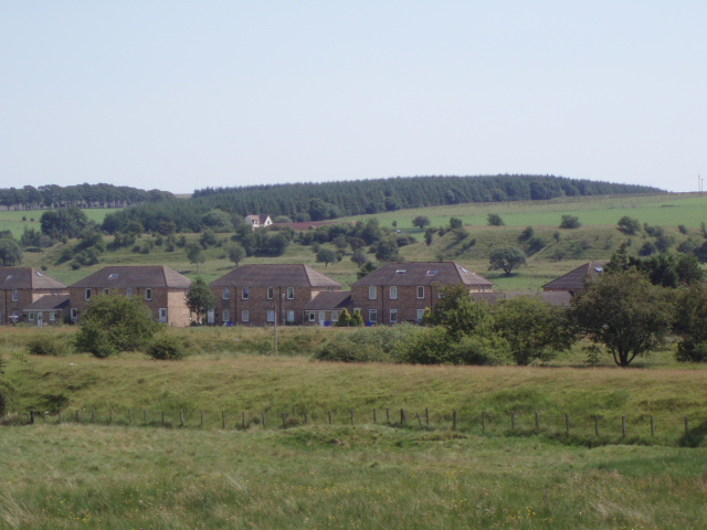
West Braes is a region located in Ayrshire, Scotland, characterized by its diverse landscape featuring downs and moorland. Situated on the western coast of Scotland, West Braes offers stunning views of the surrounding countryside and the Firth of Clyde.
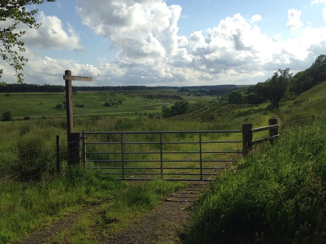
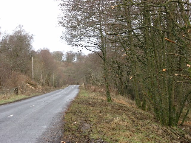
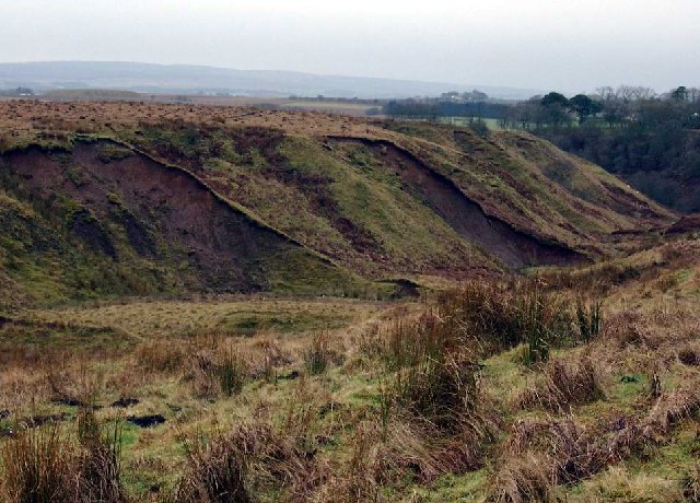
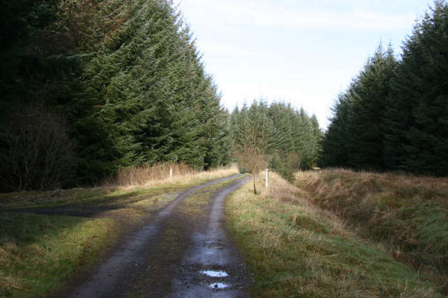
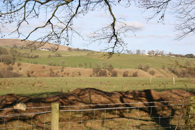
The downs in West Braes are rolling hills covered in lush green grasses and are a prominent feature of the area. These downs provide a picturesque backdrop for walkers, hikers, and nature enthusiasts, offering panoramic views of the surrounding landscapes. The terrain is relatively easy to traverse, making it an ideal location for outdoor activities such as picnicking, birdwatching, or simply enjoying a leisurely stroll.
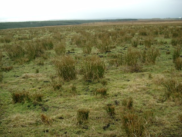
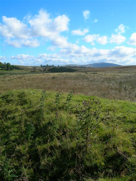
In addition to the downs, West Braes is also home to expansive moorland. Moorland is characterized by its wide open spaces, heather-covered hills, and peat bogs. This unique ecosystem serves as a habitat for a variety of plants and wildlife, including birds, insects, and small mammals. The moorland in West Braes offers a sense of tranquility and isolation, allowing visitors to immerse themselves in the natural beauty of the area.
West Braes is also known for its historical and cultural significance. The region is dotted with ancient archaeological sites, including standing stones and burial mounds, providing a glimpse into its rich history. Moreover, the area is steeped in folklore and legends, adding an air of mystery and intrigue to the landscape.
Overall, West Braes in Ayrshire offers a captivating blend of downs and moorland, providing visitors with a unique and enchanting experience of Scotland's natural beauty.
If you have any feedback on the listing, please let us know in the comments section below.
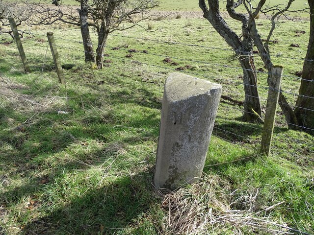
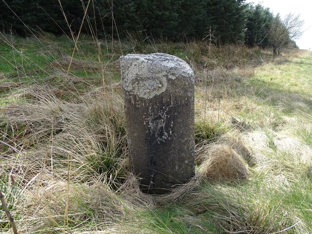
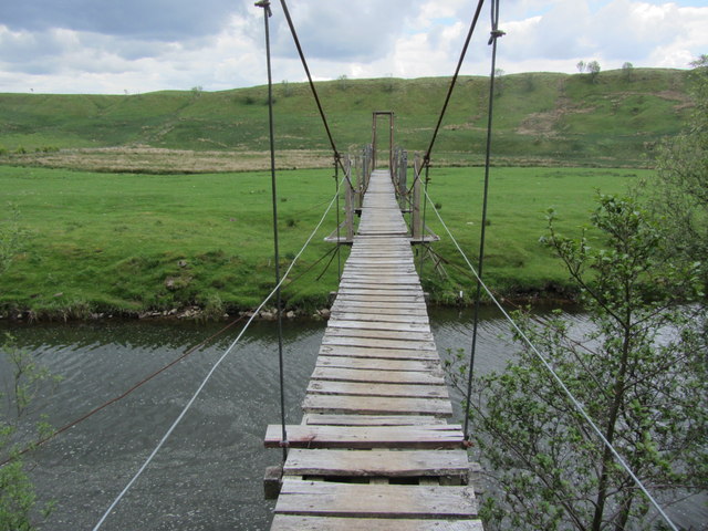
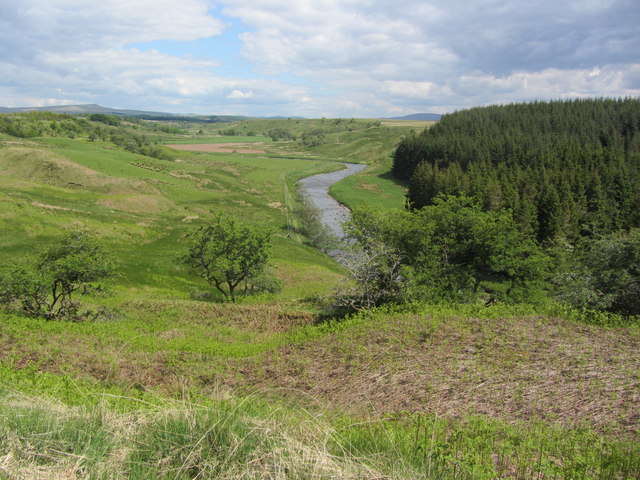
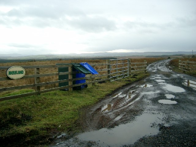
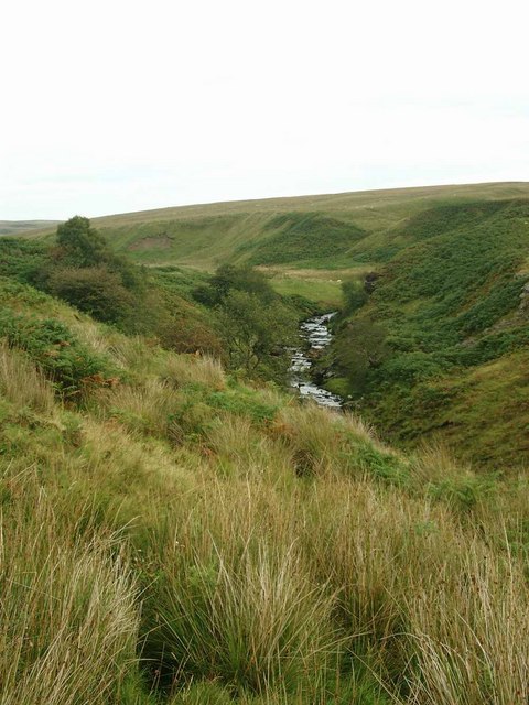
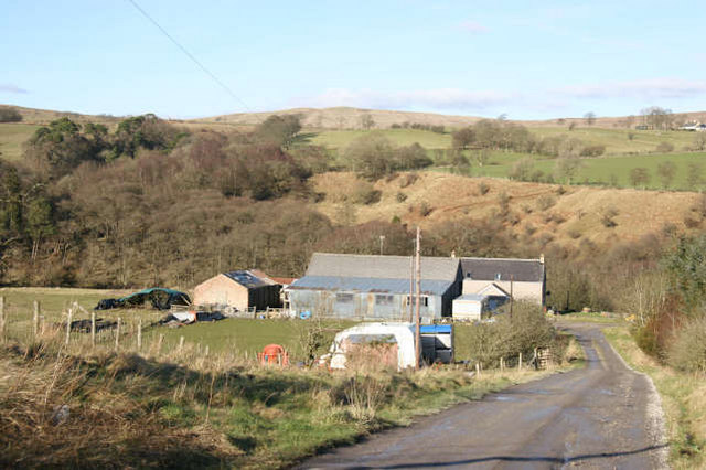
West Braes Images
Images are sourced within 2km of 55.512952/-4.2050949 or Grid Reference NS6026. Thanks to Geograph Open Source API. All images are credited.
West Braes is located at Grid Ref: NS6026 (Lat: 55.512952, Lng: -4.2050949)
Unitary Authority: East Ayrshire
Police Authority: Ayrshire
What 3 Words
///fulfilled.dripped.focus. Near Logan, East Ayrshire
Nearby Locations
Related Wikis

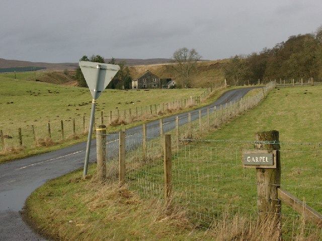
Garpel Linn
Garpel Linn is a waterfall of Scotland. == See also == Waterfalls of Scotland == References ==

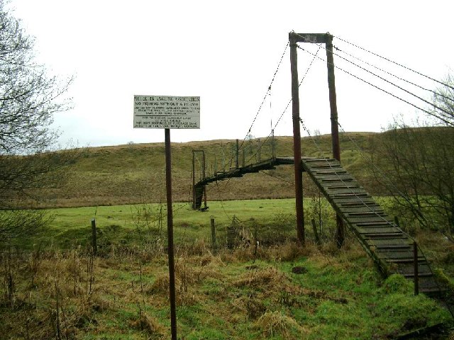
Greenock Water
Greenock Water is a river in East Ayrshire, Scotland. It flows out of the Dippal Burn, about 2 miles south of Dungavel Hill. A tributary of the River Ayr...
Airds Moss
Airds Moss is a large area of moor in East Ayrshire, the site is a protected area because of the extensive blanket bogs. In 1680 it was the location of...
Medieval turf building in Cronberry
Excavations in Cronberry, East Ayrshire, Scotland by Headland Archaeology revealed a medieval turf building and a nearby enclosure of unknown date. The...

Cronberry railway station
Cronberry railway station was a railway station serving the hamlet of Cronberry, East Ayrshire, Scotland. The station was originally part of the Glasgow...
Lugar railway station
Lugar railway station was a railway station serving the Lugar Ironworks, East Ayrshire, Scotland. The station was originally part of the Glasgow, Paisley...
Cronberry
Cronberry is a small hamlet situated north-east of Cumnock and one mile north-east of Lugar, in East Ayrshire, Scotland. == History == Cronberry has a...

Bello Mill
Bello Mill (also spelt Bellow Mill) was a mill dating from the 18th century on the river called the Lugar Water, on the estate of James Boswell, Lord Auchinleck...
Have you been to West Braes?
Leave your review of West Braes below (or comments, questions and feedback).