Crook Moss
Downs, Moorland in Ayrshire
Scotland
Crook Moss
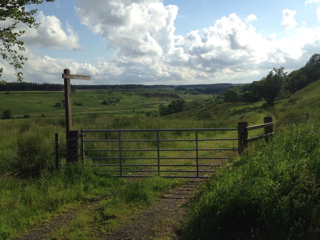
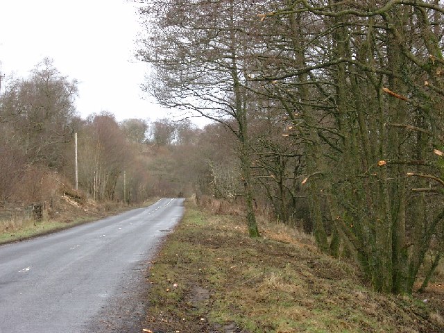
Crook Moss is a vast expanse of moorland located in Ayrshire, Scotland. Stretching across an area of approximately 500 acres, it is a significant natural feature in the region. The moss is situated in the vicinity of the small village of Crook, which lies to the north-east.
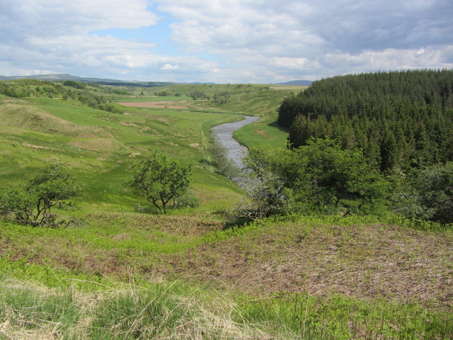
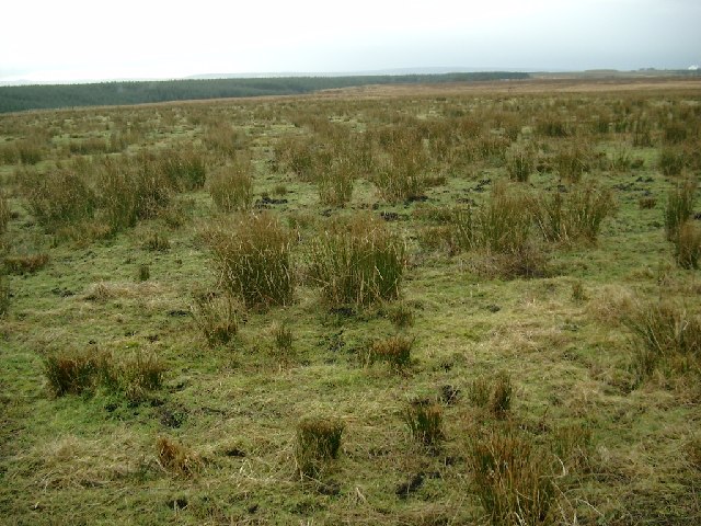
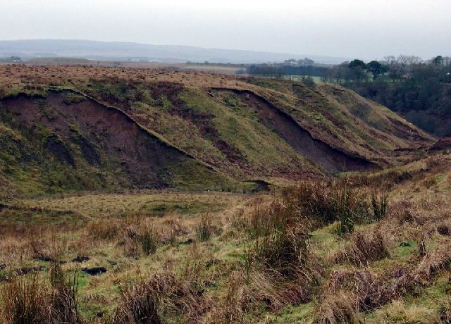
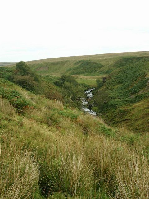
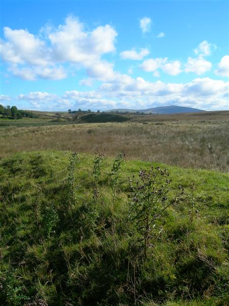
Characterized by its gently undulating terrain, Crook Moss is predominantly covered with heather, grasses, and shrubs. The landscape is composed of rolling hills and shallow valleys, resulting in a picturesque scenery that attracts nature enthusiasts and hikers alike. The moss is also home to an array of wildlife, including various bird species such as curlews, lapwings, and red grouse.
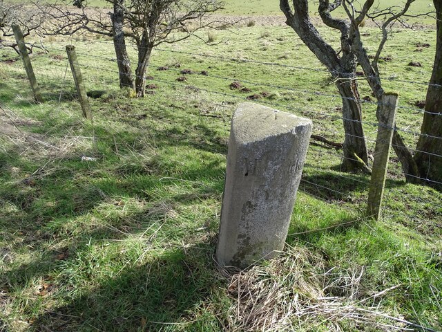
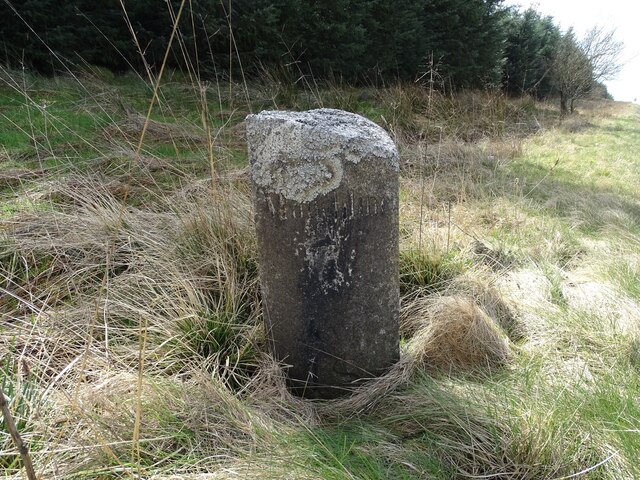
The area is historically known for its peat-cutting activities, which have been carried out for centuries. Peat extraction was a vital source of fuel and played a significant role in the local economy. Although peat cutting is no longer practiced on a large scale, remnants of the activity can still be observed on the moss.
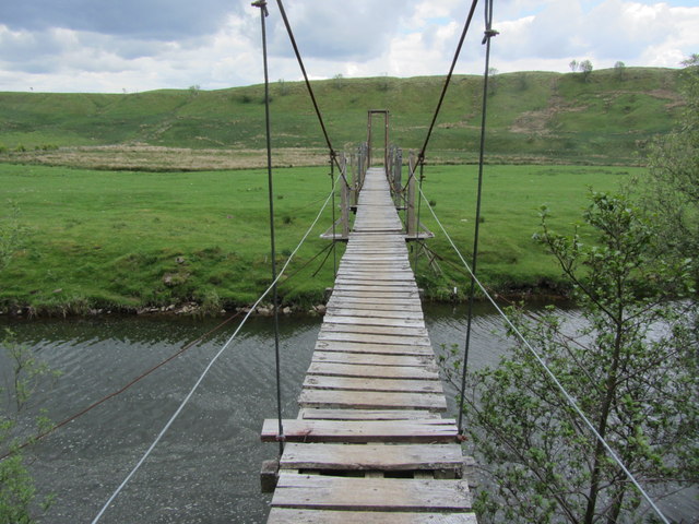
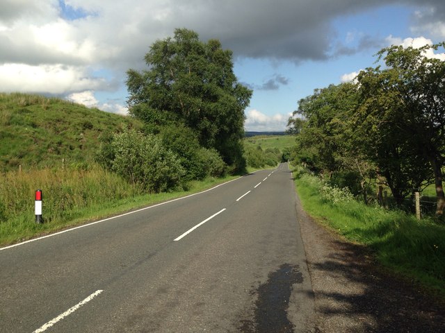
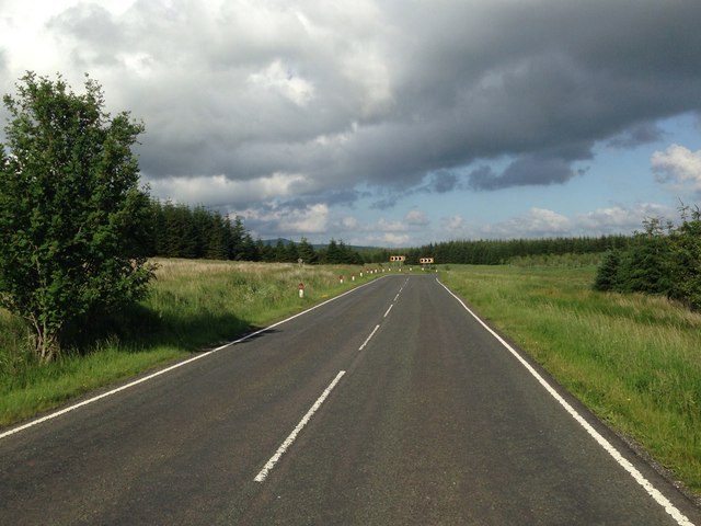
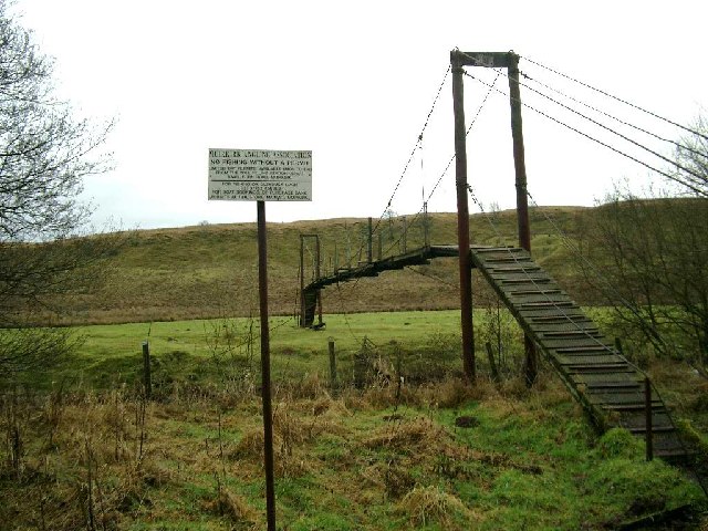
Crook Moss offers a peaceful and tranquil environment, providing an escape from the hustle and bustle of nearby urban areas. It is a popular spot for outdoor activities such as walking, birdwatching, and photography, with several walking trails and viewpoints accessible to visitors.
Overall, Crook Moss in Ayrshire is a beautiful and serene moorland, offering a glimpse into the natural wonders of the region while providing a haven for wildlife and outdoor enthusiasts.
If you have any feedback on the listing, please let us know in the comments section below.
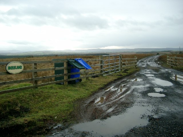
Crook Moss Images
Images are sourced within 2km of 55.51491/-4.2155954 or Grid Reference NS6026. Thanks to Geograph Open Source API. All images are credited.


Crook Moss is located at Grid Ref: NS6026 (Lat: 55.51491, Lng: -4.2155954)
Unitary Authority: East Ayrshire
Police Authority: Ayrshire
What 3 Words
///blueberry.engage.crush. Near Logan, East Ayrshire
Nearby Locations
Related Wikis

Garpel Linn
Garpel Linn is a waterfall of Scotland. == See also == Waterfalls of Scotland == References ==
Airds Moss
Airds Moss is a large area of moor in East Ayrshire, the site is a protected area because of the extensive blanket bogs. In 1680 it was the location of...

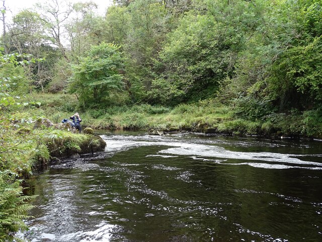
Greenock Water
Greenock Water is a river in East Ayrshire, Scotland. It flows out of the Dippal Burn, about 2 miles south of Dungavel Hill. A tributary of the River Ayr...
Medieval turf building in Cronberry
Excavations in Cronberry, East Ayrshire, Scotland by Headland Archaeology revealed a medieval turf building and a nearby enclosure of unknown date. The...
Have you been to Crook Moss?
Leave your review of Crook Moss below (or comments, questions and feedback).