Hole Downs
Downs, Moorland in Devon West Devon
England
Hole Downs
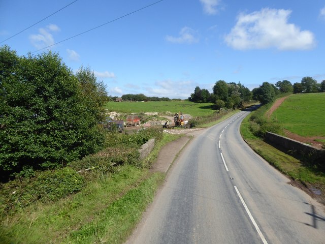
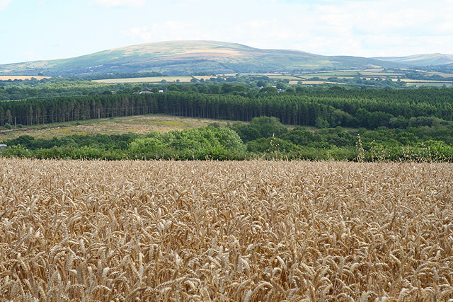
Hole Downs, located in Devon, England, is a picturesque area encompassing both downs and moorland landscapes. With its stunning natural beauty and diverse ecosystems, it has become a popular destination for nature enthusiasts and hikers alike.
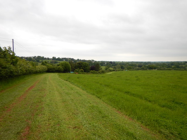
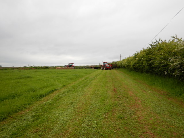
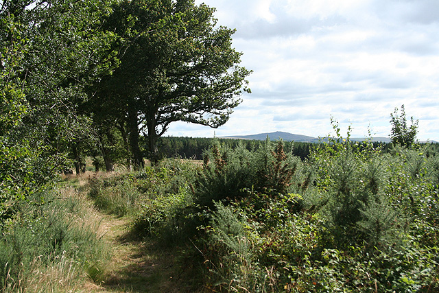
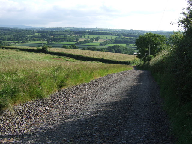
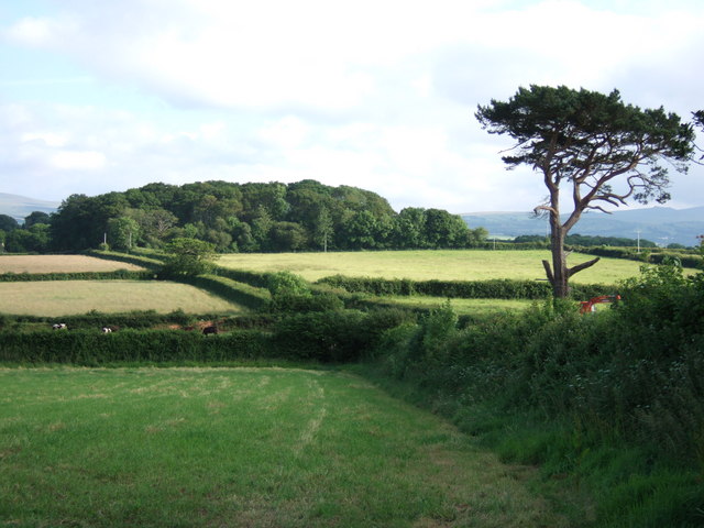
The downs, characterized by their rolling hills and open grasslands, provide breathtaking panoramic views of the surrounding countryside. Visitors can enjoy leisurely walks or more challenging hikes along the well-marked trails, taking in the fresh air and serene atmosphere. The downs are also home to a variety of wildlife, including rabbits, foxes, and a range of bird species, making it an ideal spot for birdwatching.
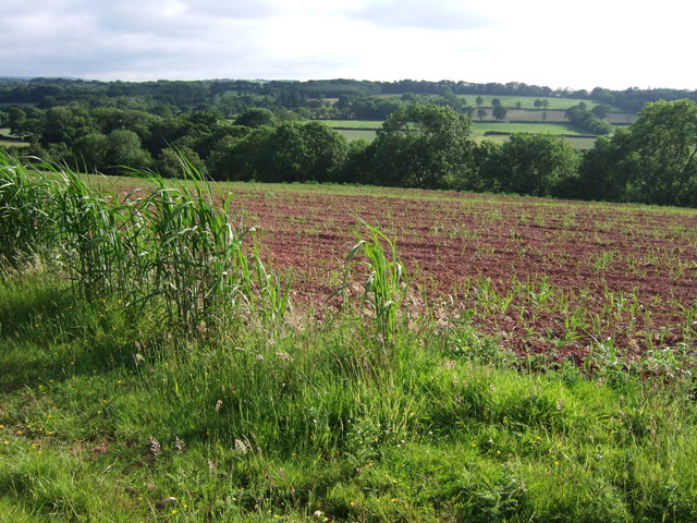
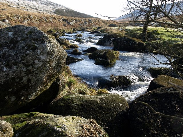
Adjacent to the downs, the moorland adds another dimension to the area's charm. Moorland landscapes feature vast expanses of heather, gorse, and grasses, creating a unique and vibrant tapestry of colors throughout the year. This rugged terrain is dotted with rocky outcrops, adding a touch of ruggedness to the overall landscape.
Hole Downs is also known for its rich cultural history. The area has several ancient burial mounds and stone circles, providing a glimpse into its past. Visitors can explore these archaeological sites, gaining insight into the lives of the people who once inhabited this land.
Overall, Hole Downs, Devon, offers a blend of natural beauty, recreational opportunities, and historical significance. Whether it's a leisurely stroll, a challenging hike, or a journey into the past, this area has something for everyone to enjoy.
If you have any feedback on the listing, please let us know in the comments section below.
Hole Downs Images
Images are sourced within 2km of 50.798002/-3.9758226 or Grid Reference SS6001. Thanks to Geograph Open Source API. All images are credited.


Hole Downs is located at Grid Ref: SS6001 (Lat: 50.798002, Lng: -3.9758226)
Administrative County: Devon
District: West Devon
Police Authority: Devon and Cornwall
What 3 Words
///congas.reckoned.loops. Near North Tawton, Devon
Nearby Locations
Related Wikis

Exbourne
Exbourne is a village and civil parish in the English county of Devon. The Anglo-Saxon origin of the name is gæces burn - Cuckoo Stream. It occupies a...

Jacobstowe
Jacobstowe is a village and civil parish on the west bank of the River Okement, about 4 miles (6.4 km) north of Okehampton in the West Devon district of...

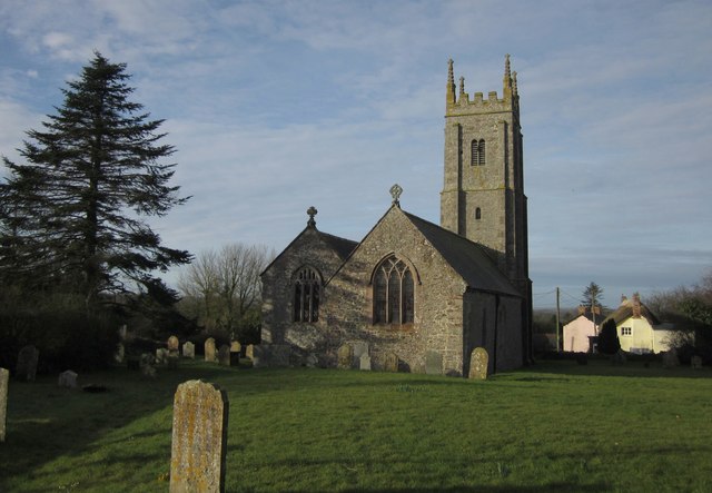
Sampford Courtenay
Sampford Courtenay is a village and civil parish in West Devon in England, most famous for being the place where the Western Rebellion, otherwise known...

Honeychurch, Devon
Honeychurch is a village and former civil parish now in the parish of Sampford Courtenay, in the West Devon district of the English county of Devon. It...

Battle of Sampford Courtenay
The Battle of Sampford Courtenay was one of the chief military engagements in the Western Rebellion of 1549. == Preparations == By mid August 1549, Humphrey...
West Okement River
The West Okement is a river in north Dartmoor in Devon in south-west England. It rises at West Okement Head near Cranmere Pool and flows in a generally...
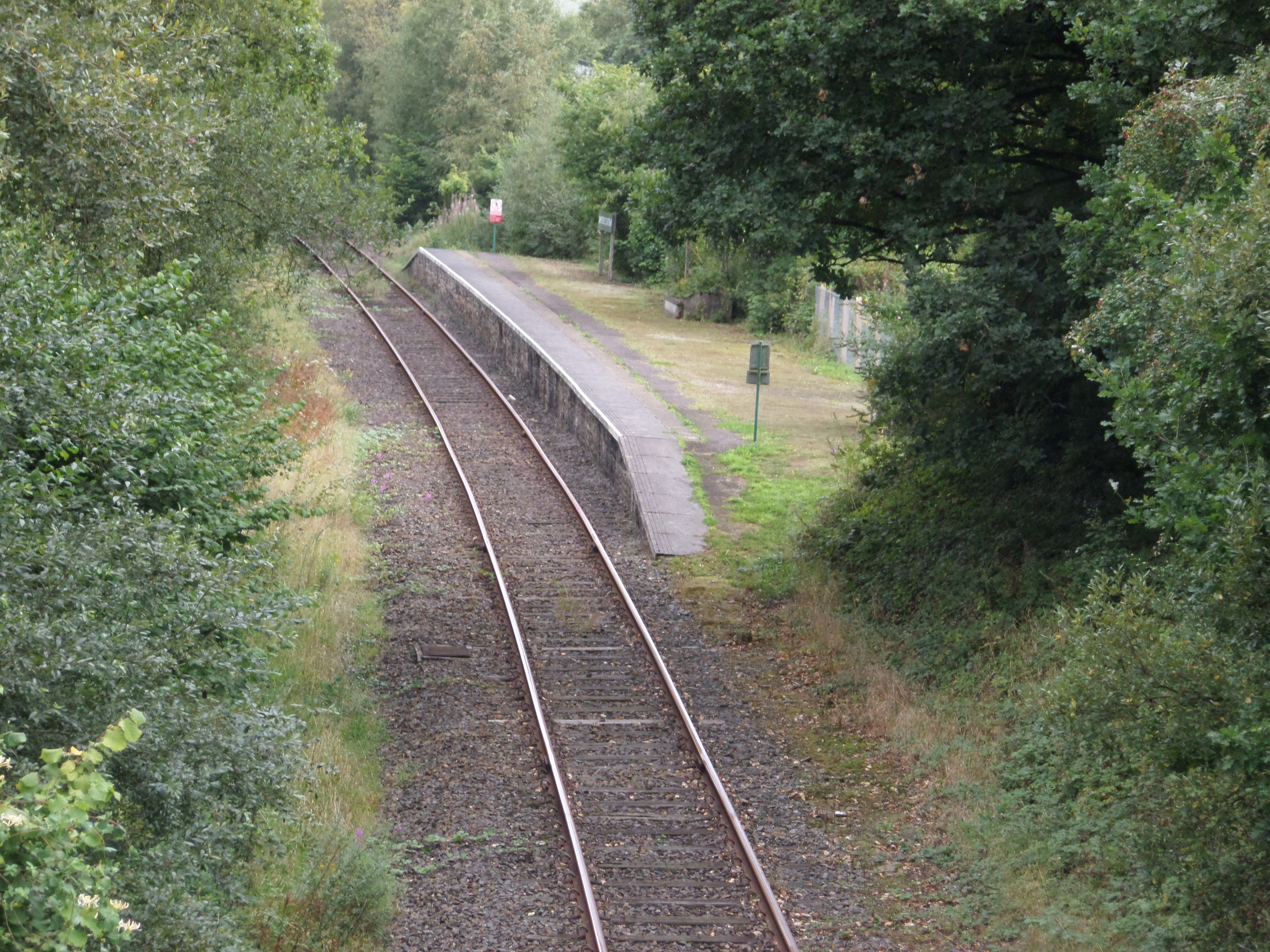
Sampford Courtenay railway station
Sampford Courtenay railway station is a disused railway station at Belstone Corner, which used to serve the nearby (1.6 miles) village of Sampford Courtenay...
Broadwoodkelly
Broadwoodkelly is a village and civil parish in the West Devon district of Devon, England. According to the 2001 census it had a population of 218. The...
Nearby Amenities
Located within 500m of 50.798002,-3.9758226Have you been to Hole Downs?
Leave your review of Hole Downs below (or comments, questions and feedback).