Coed Crwn-y-castell
Downs, Moorland in Anglesey
Wales
Coed Crwn-y-castell
Coed Crwn-y-castell is a captivating nature reserve located in Anglesey, Wales. Spanning across picturesque downs and moorland, this scenic area covers approximately 100 hectares. The reserve is renowned for its diverse range of flora and fauna, attracting nature enthusiasts and hikers throughout the year.
The downs of Coed Crwn-y-castell are characterized by gently rolling hills covered in lush grasslands, interspersed with scattered patches of heather and gorse. These open spaces provide a habitat for a variety of bird species, including skylarks, lapwings, and meadow pipits. The moorland, on the other hand, presents a more rugged landscape, with heath and bog areas dominated by species like cotton grass and bilberry. This habitat supports a wealth of wildlife, including red grouse and common lizards.
Visitors to Coed Crwn-y-castell can explore the reserve by following the well-maintained network of walking trails. These paths wind through the open downs, offering breathtaking views of the surrounding countryside. The reserve is also home to a small woodland area, where oak and birch trees thrive alongside a carpet of bluebells during the spring season.
Coed Crwn-y-castell is a popular destination for nature walks, birdwatching, and photography. Its tranquil atmosphere and stunning vistas make it an ideal spot for visitors seeking a peaceful retreat in nature. With its rich biodiversity and scenic landscapes, Coed Crwn-y-castell truly exemplifies the natural beauty of Anglesey.
If you have any feedback on the listing, please let us know in the comments section below.
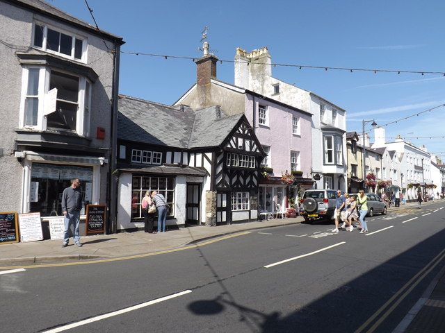
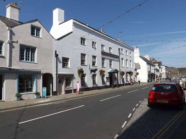
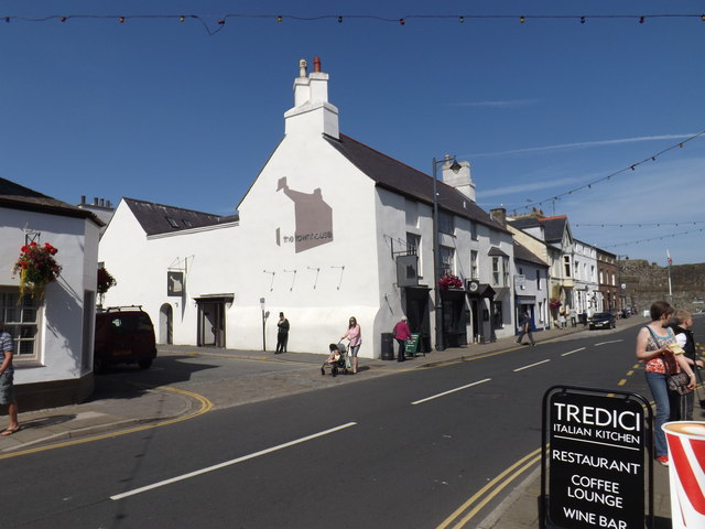
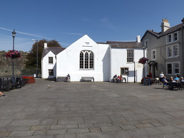
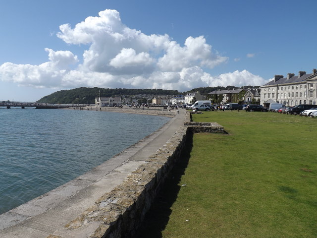
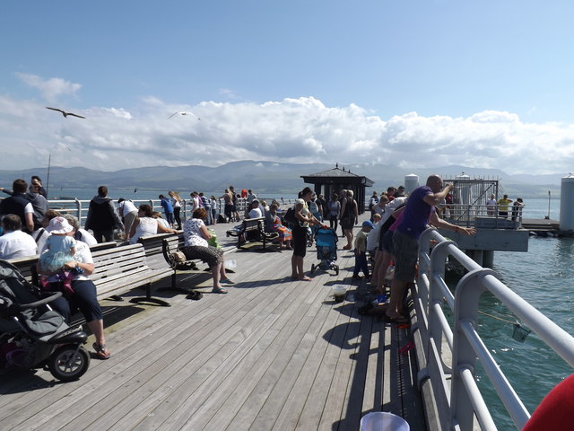
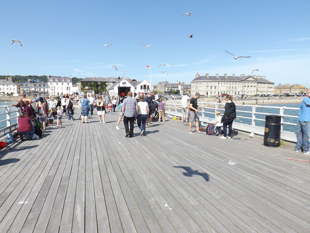
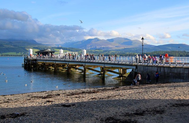
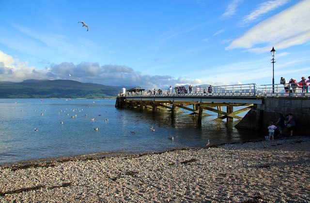
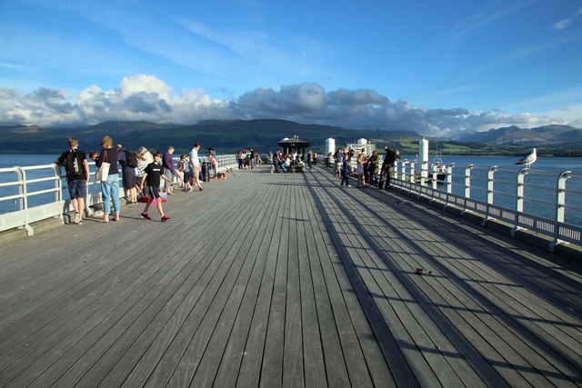
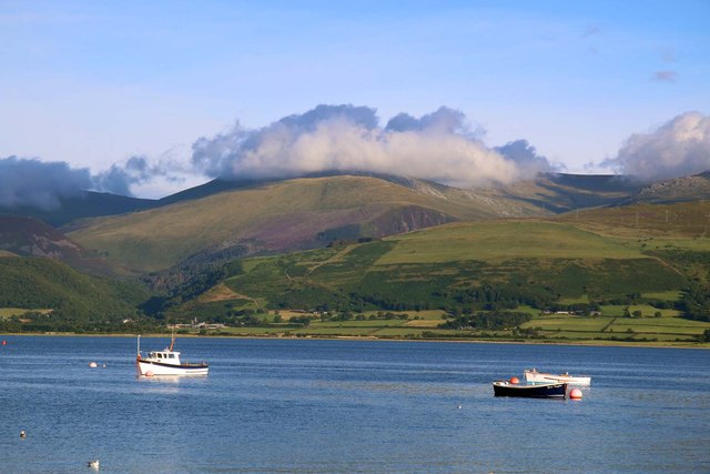
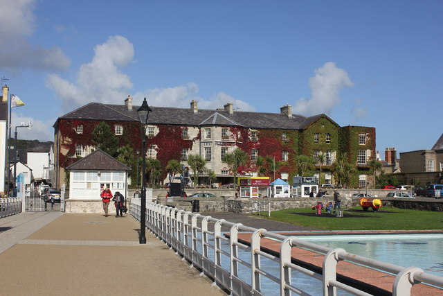
Coed Crwn-y-castell Images
Images are sourced within 2km of 53.268157/-4.0909432 or Grid Reference SH6076. Thanks to Geograph Open Source API. All images are credited.
Coed Crwn-y-castell is located at Grid Ref: SH6076 (Lat: 53.268157, Lng: -4.0909432)
Unitary Authority: Isle of Anglesey
Police Authority: North Wales
What 3 Words
///beaten.something.charcoal. Near Beaumaris, Isle of Anglesey
Nearby Locations
Related Wikis

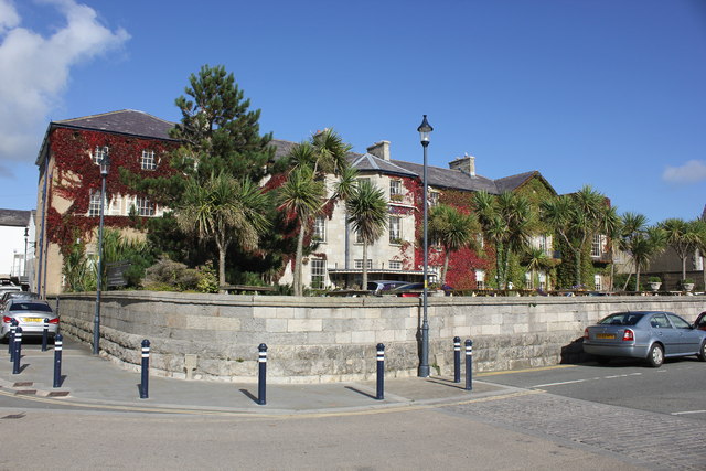
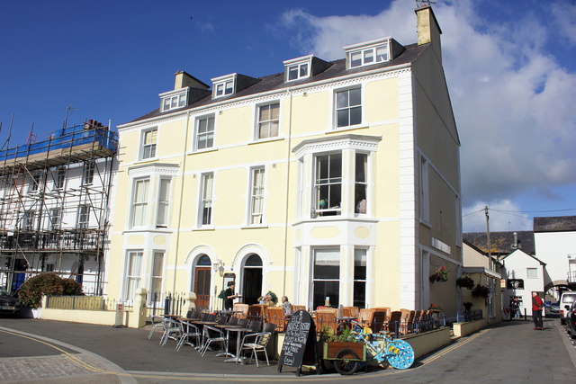
Beaumaris
Beaumaris (/bəʊˈmærɪs/ or bew-MAR-is; Welsh: Biwmares [bɪuˈmaːrɛs]) is a town and community on the Isle of Anglesey in Wales, of which it is the former...

Baron Hill, Anglesey
Baron Hill is a country estate in Beaumaris, Anglesey, Wales. The ruined Baron Hill House and the associated Baron Hill Park were established in 1618 by...

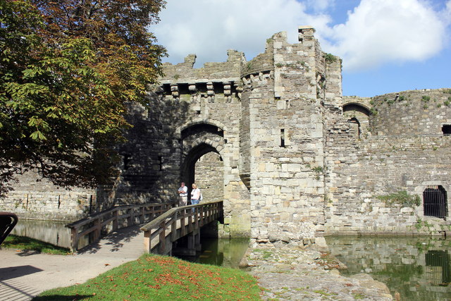
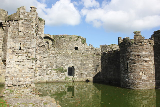
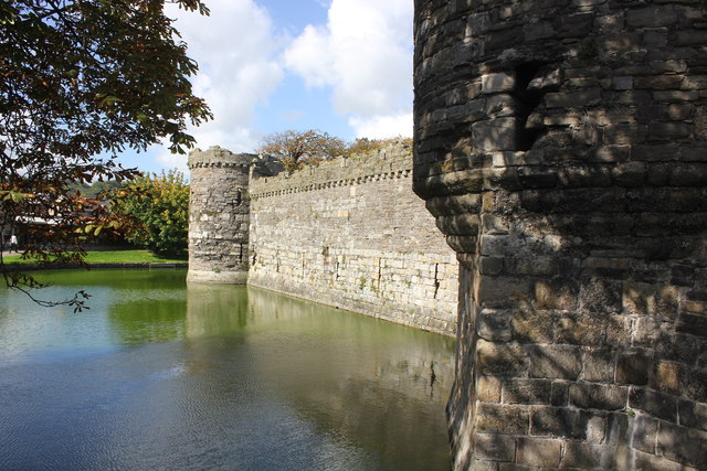
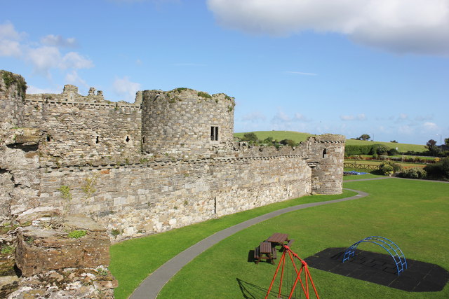
Beaumaris Castle
Beaumaris Castle ( bew-MAR-is; Welsh: Castell Biwmares Welsh pronunciation: [kastɛɬ bɪuˈmɑːrɛs]), in Beaumaris, Anglesey, Wales, was built as part of Edward...

St Mary's and St Nicholas's Church, Beaumaris
St Mary and St Nicholas Church, Beaumaris, an Anglican church, is a fourteenth century Grade I listed building in Beaumaris, Anglesey, Wales. == History... ==
Nearby Amenities
Located within 500m of 53.268157,-4.0909432Have you been to Coed Crwn-y-castell?
Leave your review of Coed Crwn-y-castell below (or comments, questions and feedback).