Southcott Moor
Downs, Moorland in Devon North Devon
England
Southcott Moor
Southcott Moor is a picturesque expanse of moorland located in Devon, England. Situated in the heart of the county, it covers an area of approximately 500 hectares, making it one of the largest moorlands in the region. The moorland is part of the Southcott Common, which is managed by the Southcott Moorland Group and the Dartmoor National Park Authority.
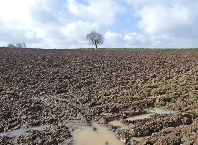
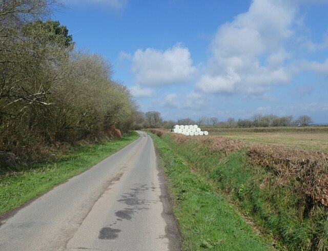
The landscape of Southcott Moor is characterized by rolling hills, vast open spaces, and a mix of gorse, heather, and grasses that create a vibrant and ever-changing palette of colors throughout the year. The area is bordered by Taw Marsh to the north and the Taw River to the south, creating a diverse habitat for numerous bird species, including the rare black grouse and curlew.
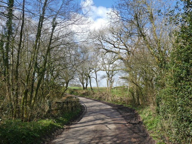
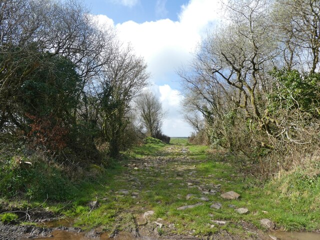
Southcott Moor is a haven for outdoor enthusiasts, offering a multitude of recreational activities. Visitors can explore the moorland on foot or by bike, following a network of well-maintained trails that provide breathtaking views of the surrounding countryside. The area is also popular among birdwatchers, who can spot a wide variety of avian species in their natural habitat.
The moorland is rich in archaeological history, with several Bronze Age burial mounds and stone circles scattered across the landscape. These artifacts are a testament to the area's ancient past and provide valuable insights into the lives of the early settlers who once inhabited the moor.
Overall, Southcott Moor is a captivating and diverse landscape that offers a unique blend of natural beauty, wildlife, and historical significance. Whether you are seeking a tranquil escape or an adventurous outing, this moorland is sure to leave a lasting impression.
If you have any feedback on the listing, please let us know in the comments section below.
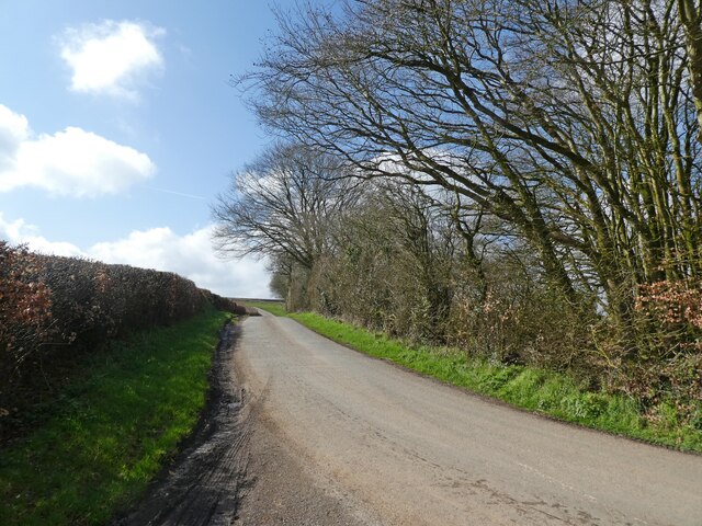
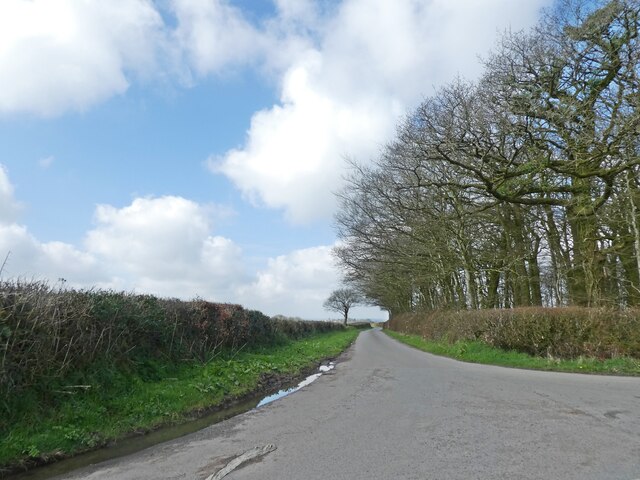
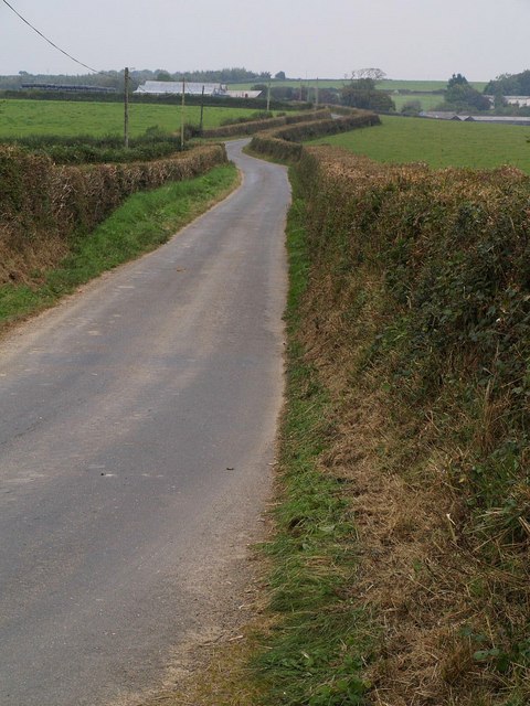
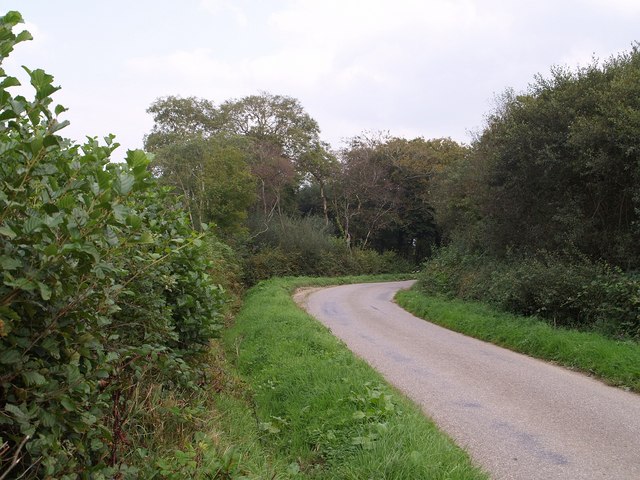
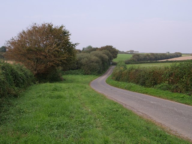
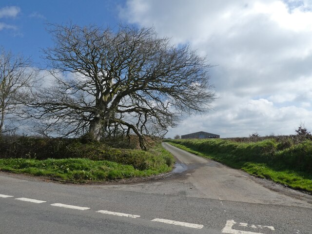
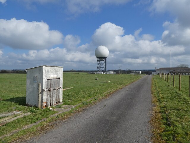
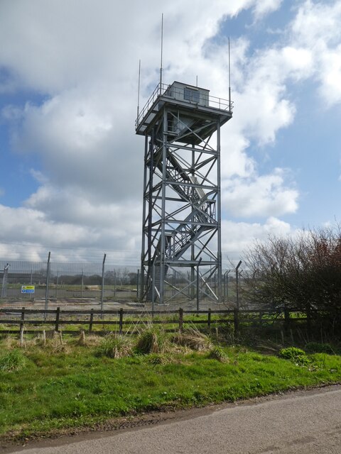
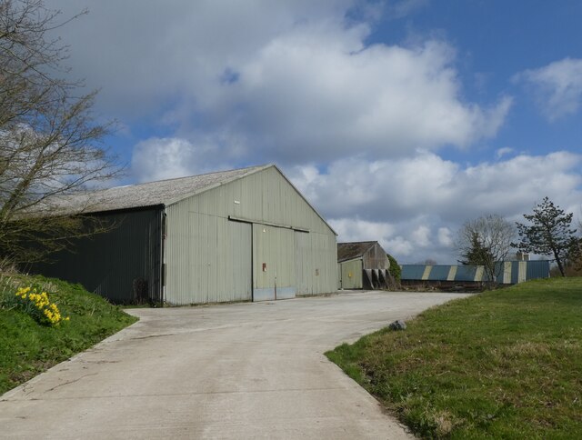
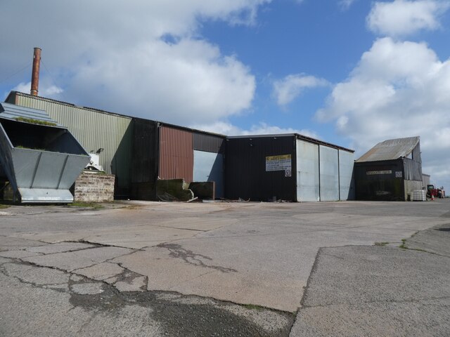
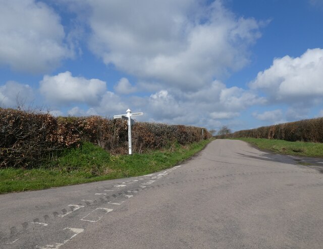
Southcott Moor Images
Images are sourced within 2km of 50.94084/-3.9835957 or Grid Reference SS6017. Thanks to Geograph Open Source API. All images are credited.
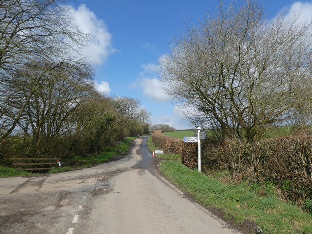

Southcott Moor is located at Grid Ref: SS6017 (Lat: 50.94084, Lng: -3.9835957)
Administrative County: Devon
District: North Devon
Police Authority: Devon and Cornwall
What 3 Words
///pancakes.positions.perfectly. Near Chulmleigh, Devon
Nearby Locations
Related Wikis

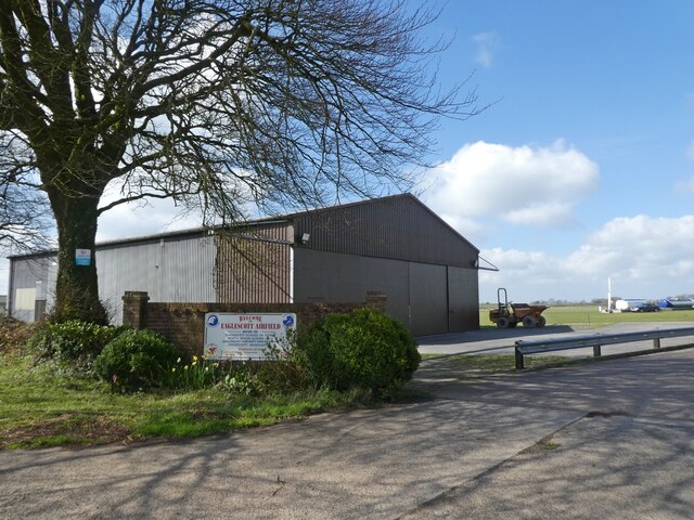
Eaglescott Airfield
Eaglescott Airfield (ICAO: EGHU) is located in Burrington, 6 nautical miles (11 km; 6.9 mi) east southeast of Great Torrington, in Devon, England. It is...

Portsmouth Arms railway station
Portsmouth Arms railway station is a small wayside station in Devon. It is in the parish of Burrington but remote from any village so is named after the...

Roborough, Torridge
Roborough is a village and civil parish 5.5 mi (8.9 km) from Great Torrington, in Devon, England. Situated topographically on the plateau between the Torridge...

Burrington, Devon
Burrington is a village and civil parish in North Devon in England. In 2001 the population was 538.The village has a church, a Methodist chapel, a pub...
Nearby Amenities
Located within 500m of 50.94084,-3.9835957Have you been to Southcott Moor?
Leave your review of Southcott Moor below (or comments, questions and feedback).