Dornaford Moor
Downs, Moorland in Devon West Devon
England
Dornaford Moor
Dornaford Moor is a picturesque area located in Devon, England. Covering a vast expanse of downs and moorland, it is a place of natural beauty and tranquility. The moor is situated in the eastern part of Devon, near the village of Dornaford.
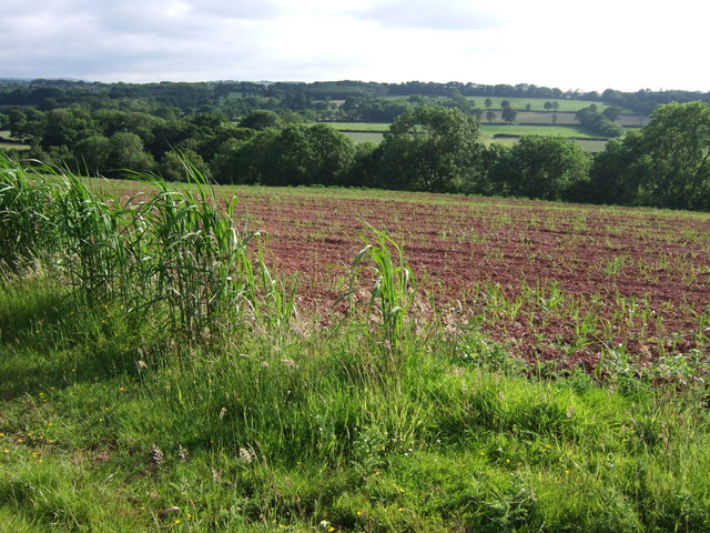
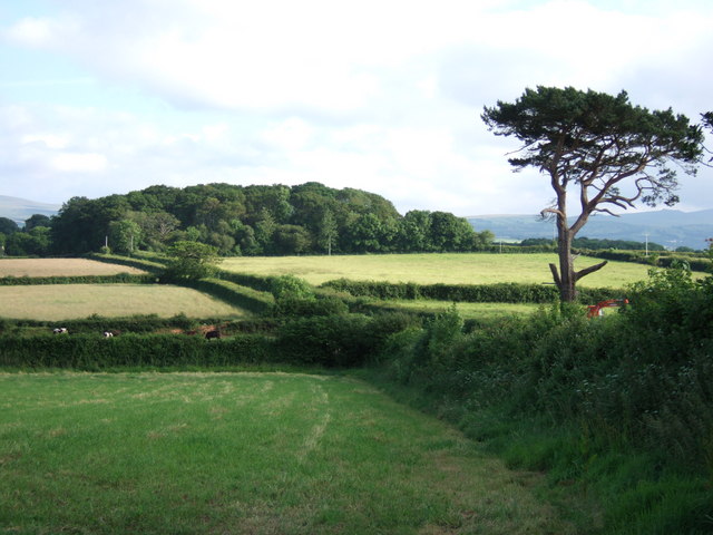
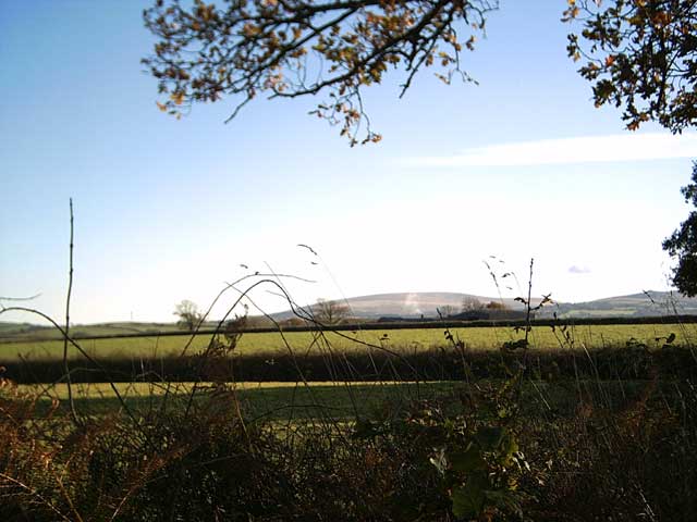
The moorland of Dornaford is characterized by rolling hills, heather-covered slopes, and scattered woodland areas. The landscape is dotted with small streams and ponds, adding to the charm of the surroundings. The area is home to a diverse range of flora and fauna, including various species of birds, mammals, and plants.
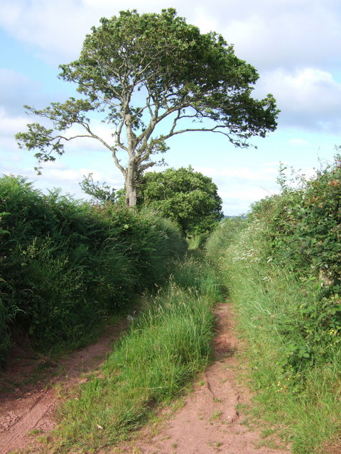
Walking trails crisscross the moor, providing visitors with the opportunity to explore its stunning scenery. Hikers can enjoy breathtaking views from the hilltops, while nature enthusiasts can observe the native wildlife in their natural habitat. The moor is also a popular spot for birdwatching, with several species of birds, such as skylarks and kestrels, frequently seen in the area.
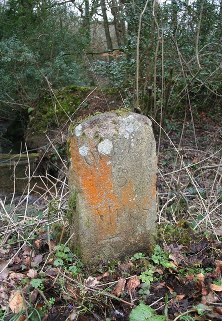
In addition to its natural beauty, Dornaford Moor has historical significance. The remains of ancient settlements and burial mounds can be found scattered throughout the moor, offering a glimpse into the area's past. These archaeological sites add an extra layer of intrigue for visitors interested in the region's history.
Overall, Dornaford Moor is a captivating destination for nature lovers, hikers, and history enthusiasts alike. Its stunning landscapes, diverse wildlife, and rich history make it a must-visit location in Devon.
If you have any feedback on the listing, please let us know in the comments section below.
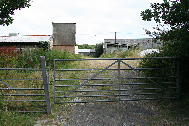
Dornaford Moor Images
Images are sourced within 2km of 50.777835/-3.9786603 or Grid Reference SX6099. Thanks to Geograph Open Source API. All images are credited.


Dornaford Moor is located at Grid Ref: SX6099 (Lat: 50.777835, Lng: -3.9786603)
Administrative County: Devon
District: West Devon
Police Authority: Devon and Cornwall
What 3 Words
///drum.tiling.perfumed. Near Okehampton, Devon
Nearby Locations
Related Wikis

Brightley Priory
Brightley Priory was founded in 1133 as a Cistercian monastery. It was built in 1136 and was situated about two miles north of Okehampton in Devon and...
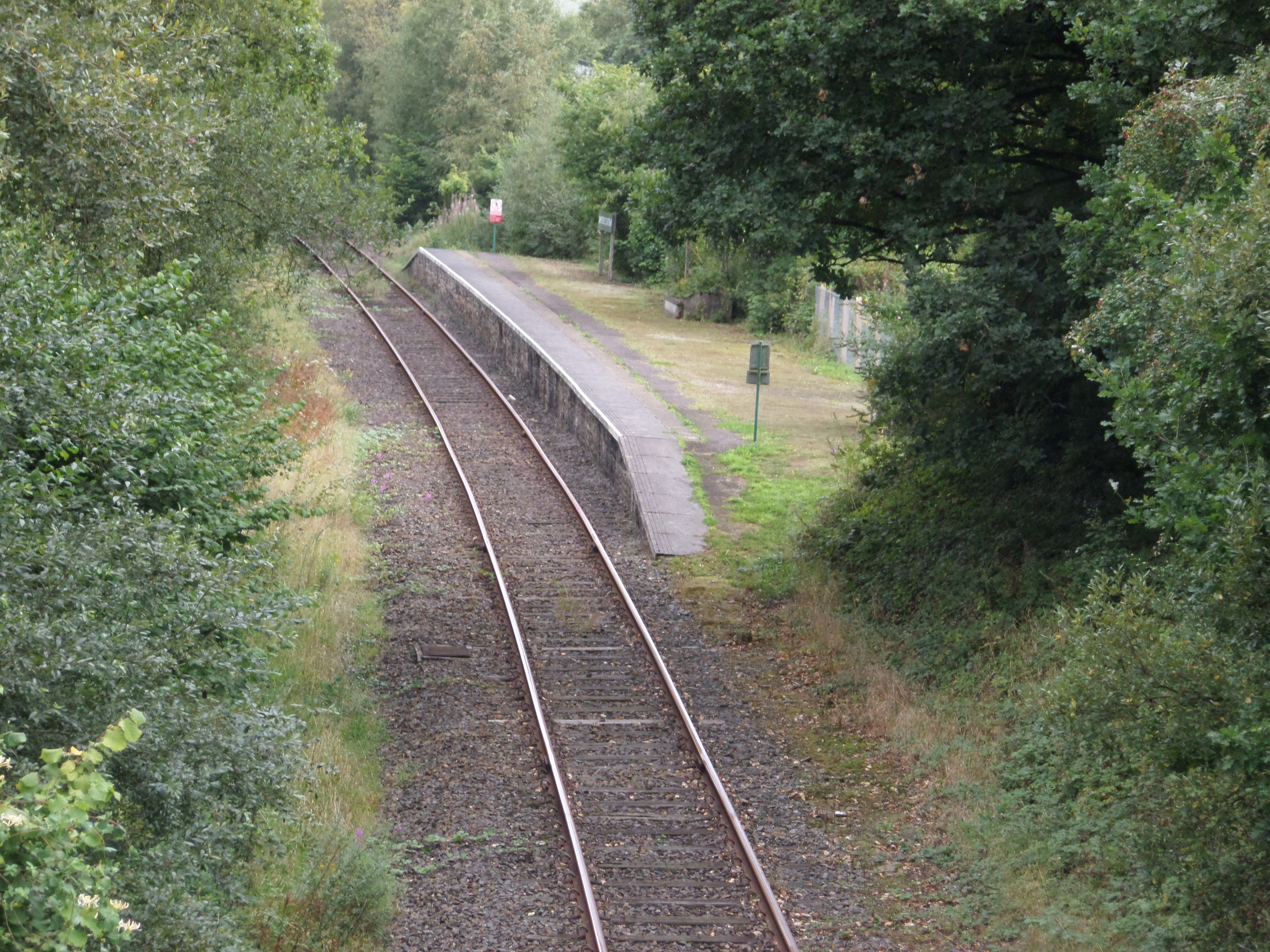
Sampford Courtenay railway station
Sampford Courtenay railway station is a disused railway station at Belstone Corner, which used to serve the nearby (1.6 miles) village of Sampford Courtenay...

Exbourne
Exbourne is a village and civil parish in the English county of Devon. The Anglo-Saxon origin of the name is gæces burn - Cuckoo Stream. It occupies a...

Belstone Corner
Belstone Corner is a hamlet in West Devon in the English county of Devon, part of the civil parish of Sampford Courtenay. The Sampford Courtenay railway...
Nearby Amenities
Located within 500m of 50.777835,-3.9786603Have you been to Dornaford Moor?
Leave your review of Dornaford Moor below (or comments, questions and feedback).