Craiglarie Moss

Downs, Moorland in Wigtownshire

Scotland

Craiglarie Moss

Loch Hempton One of many lochs and lochans on the Machar
Loch Hempton Credit: Jon Alexander

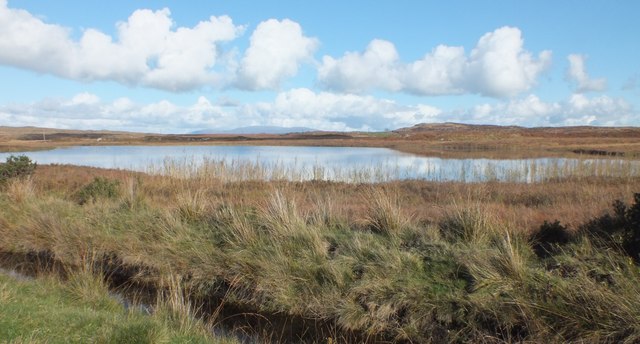
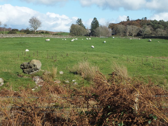
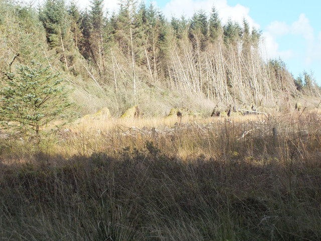
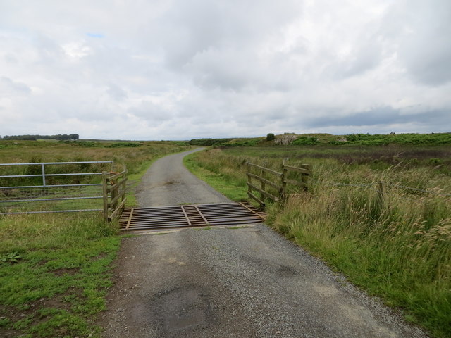
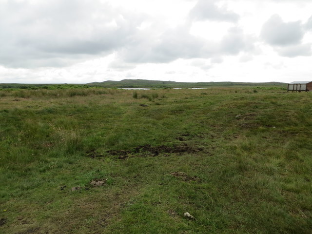
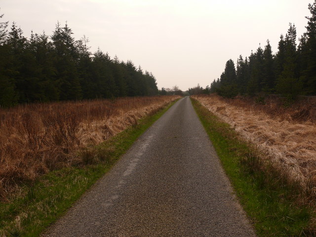
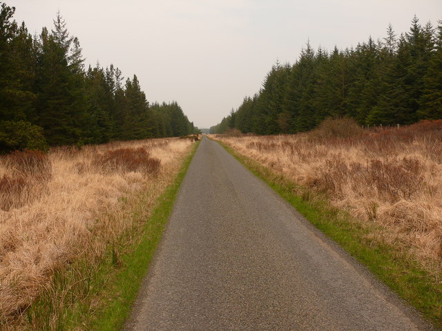
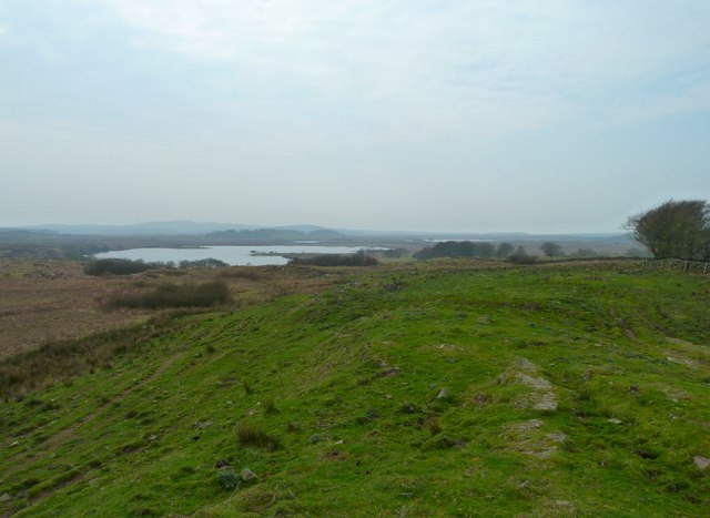
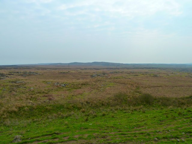
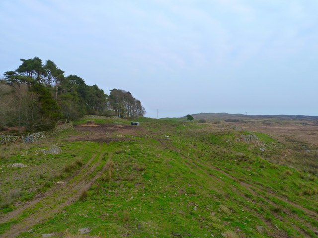
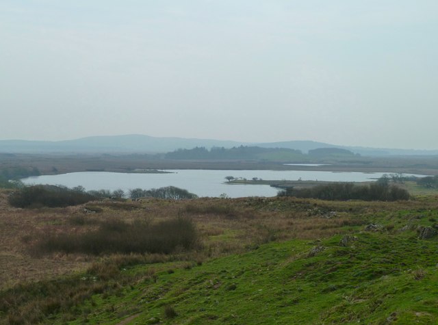
Craiglarie Moss is a vast expanse of wetland located in Wigtownshire, Scotland. Situated in the southern part of the region, it is characterized by its rolling downs and expansive moorland. The moss covers an area of approximately 300 acres and is surrounded by a diverse range of natural features.

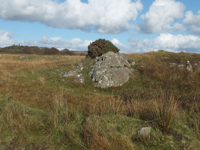
The terrain of Craiglarie Moss is predominantly flat, with patches of low-lying vegetation and heather interspersed throughout. The moss is known for its rich biodiversity and is home to a variety of plant and animal species. The wetland provides a vital habitat for numerous bird species, including curlews, lapwings, and redshanks, which can be observed nesting and feeding in the area.

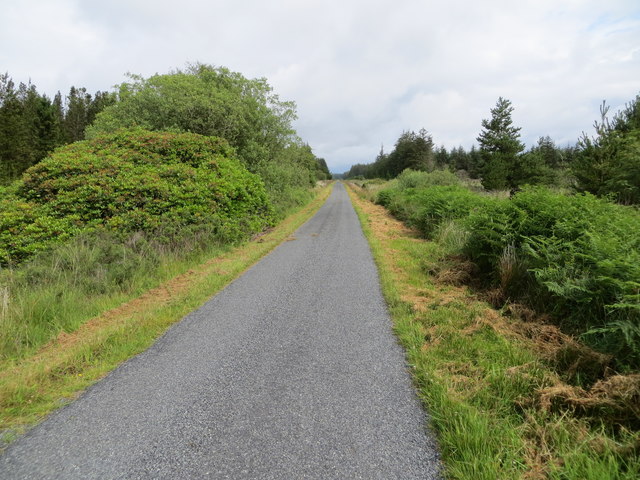
Visitors to Craiglarie Moss can enjoy the tranquil surroundings and take in the breathtaking panoramic views of the surrounding countryside. The moss is a popular spot for nature enthusiasts and birdwatchers, who can explore the area through a network of well-maintained walking trails.

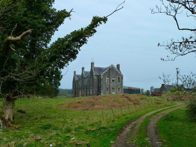
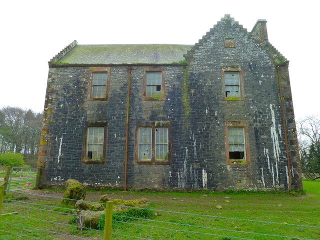
The moss also holds historical significance, with traces of ancient settlements and archaeological sites discovered in the vicinity. These remnants offer a glimpse into the past and add to the allure of the area.

Overall, Craiglarie Moss in Wigtownshire is a picturesque wetland characterized by its rolling downs, moorland, and abundant wildlife. With its natural beauty and historical significance, it offers a unique and immersive experience for those seeking to explore the enchanting Scottish countryside.

If you have any feedback on the listing, please let us know in the comments section below.

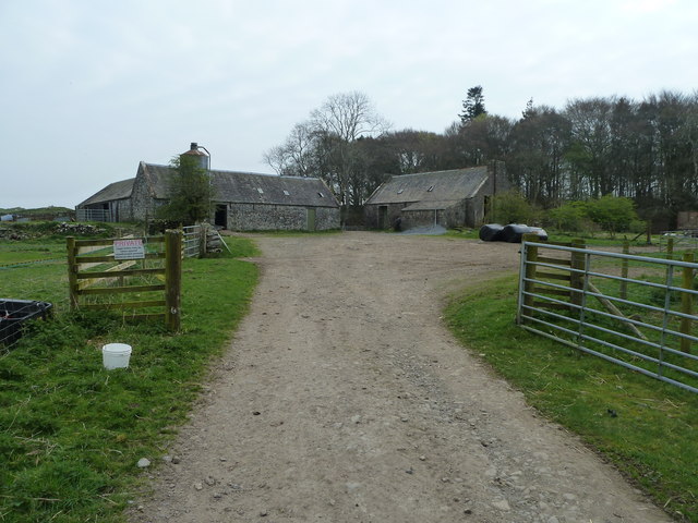
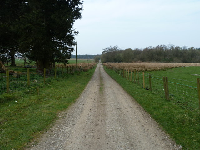
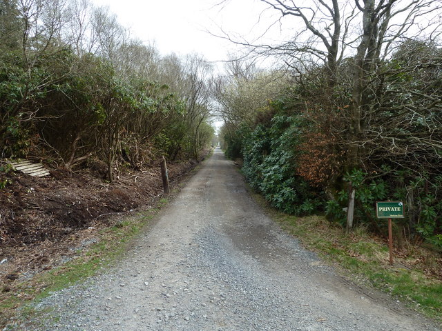
Craiglarie Moss Images

Images are sourced within 2km of 54.865686/-4.6206675 or Grid Reference NX3155. Thanks to Geograph Open Source API. All images are credited.

Loch Hempton One of many lochs and lochans on the Machar
Loch Hempton
One of many lochs and lochans on the Machar
Tufted Rock In an otherwise windswept landscape the clump of gorse is managing to hang on to the top of the rock.
Tufted Rock
In an otherwise windswept landscape the clump of gorse is managing to hang on to the top of the rock.
Sheep Grazing Craigeach House in the background.
Sheep Grazing
Craigeach House in the background.
A Wall Of Root Plates Clearfelling the area nearest the camera has caused the conifers on the edge of the standing timber to lose their tenuous grip and get blown over.
A Wall Of Root Plates
Clearfelling the area nearest the camera has caused the conifers on the edge of the standing timber to lose their tenuous grip and get blown over.
Minor road crossing the Moor of Drumwalt Looking north-westward.
Minor road crossing the Moor of Drumwalt
Looking north-westward.
Rough moorland used for cattle and sheep grazing Looking south-eastward towards Fell Loch
Rough moorland used for cattle and sheep grazing
Looking south-eastward towards Fell Loch
Minor road near to Loch Wayoch Looking northward.
Minor road near to Loch Wayoch
Looking northward.
Craigeach House View of this remote former agricultural college. This track at the back of the college leads on to Craigeach Fell.
Craigeach House
View of this remote former agricultural college. This track at the back of the college leads on to Craigeach Fell.
Craigeach House View of this former agricultural college which has seen better days.
Craigeach House
View of this former agricultural college which has seen better days.
Craigeach House Entrance gate to the farm yard and out buildings.
Craigeach House
Entrance gate to the farm yard and out buildings.
Craigeach House View along this long drive from the house down to a small single track road that runs through Mindork Moss.
Craigeach House
View along this long drive from the house down to a small single track road that runs through Mindork Moss.
Craigeach House View along the long entrance drive to this former agricultural college part of the Mochrum Estate.
Craigeach House
View along the long entrance drive to this former agricultural college part of the Mochrum Estate.
Mindork Moss View south along this single track road as it emerges from the forest.
Mindork Moss
View south along this single track road as it emerges from the forest.
Mindork Moss View north along this single track road that runs through the forest.
Mindork Moss
View north along this single track road that runs through the forest.
Craigeach Although the hillock I took this shot from near Craigeach House is not particularly high at about the 100 metre mark it does have quite an extensive viewing area. Left of picture is Fell Loch behind which is the small Loch Hempton. To the right of centre on the horizon is Black Loch.
Craigeach
Although the hillock I took this shot from near Craigeach House is not particularly high at about the 100 metre mark it does have quite an extensive viewing area. Left of picture is Fell Loch behind which is the small Loch Hempton. To the right of centre on the horizon is Black Loch.
Craiglarie Moss Moorland scene taken from a track near to Craigeach House. A single set of telegraph posts runs across the moor and along the side of Fell Loch just to the south of here.
Craiglarie Moss
Moorland scene taken from a track near to Craigeach House. A single set of telegraph posts runs across the moor and along the side of Fell Loch just to the south of here.
Craigeach The farm track to the left of picture leads to a gate left and through Craigeach wood to Craigeach House. Straight centre of picture is Craigeach Fell.
Craigeach
The farm track to the left of picture leads to a gate left and through Craigeach wood to Craigeach House. Straight centre of picture is Craigeach Fell.
Fell Loch View across to the loch from near to Craigeach House. The smaller loch behind Fell Loch is Hempton.
Fell Loch
View across to the loch from near to Craigeach House. The smaller loch behind Fell Loch is Hempton.
Show me another place!

Craiglarie Moss is located at Grid Ref: NX3155 (Lat: 54.865686, Lng: -4.6206675)

Unitary Authority: Dumfries and Galloway

Police Authority: Dumfries and Galloway

What 3 Words

///name.suspended.mentions. Near Newton Stewart, Dumfries & Galloway

Related Wikis

Mochrum Loch

Mochrum Loch is a large, irregular shaped, shallow, freshwater loch in Dumfries and Galloway, in the Southern Uplands of south-west Scotland. It lies approximately...

Castle Loch, Dumfries and Galloway

Castle Loch is a large, shallow, freshwater loch in Dumfries and Galloway, in the Southern Uplands of south-west Scotland. It lies to the west of Mochrum...

Castle Loch

Castle Loch is a shallow eutrophic loch covering an area of around 100 hectares in the town of Lochmaben in Dumfries and Galloway, Scotland. It lies to...

Doon of May

The Doon of May is a conifer plantation associated with an Iron Age hill fort in Dumfries and Galloway, south-west Scotland. Located around 14 kilometres...

Machars

The Machars (Scottish Gaelic: Machair Ghallghaidhealaibh) is a peninsula in the historical county of Wigtownshire in Galloway in the south-west of Scotland...

Kirkcowan

Kirkcowan is an area about 15 miles in length, and from nearly two to nearly seven miles in breadth, comprising 30,580 acres, of which 7000 are arable...

Kirkcowan railway station

Kirkcowan railway station served the village of Kirkcowan, Dumfries and Galloway, Scotland from 1861 to 1965 on the Portpatrick and Wigtownshire Joint...

Torhouse

The Standing Stones of Torhouse (also Torhousekie) are a stone circle of nineteen granite boulders on the land of Torhouse, three miles west of Wigtown...

Have you been to Craiglarie Moss?

Leave your review of Craiglarie Moss below (or comments, questions and feedback).