Dail Mhùrlagain
Downs, Moorland in Inverness-shire
Scotland
Dail Mhùrlagain
The requested URL returned error: 429 Too Many Requests
If you have any feedback on the listing, please let us know in the comments section below.
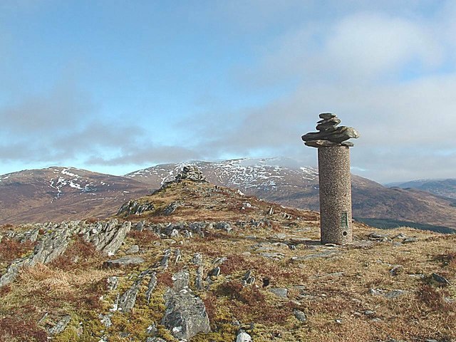
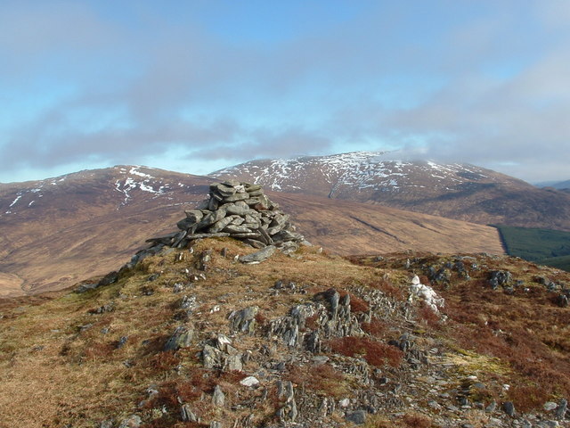
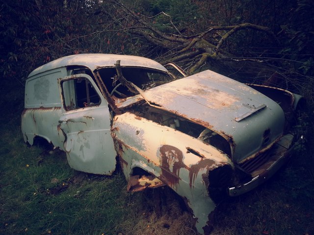
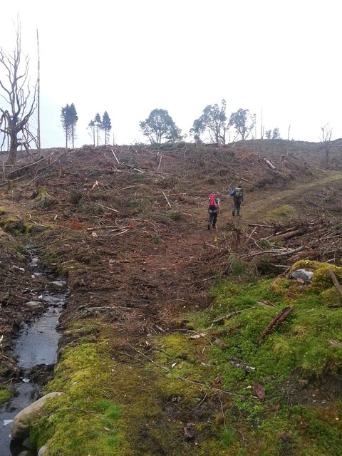
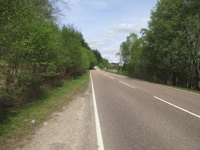
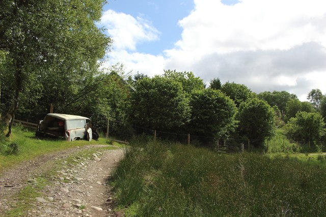
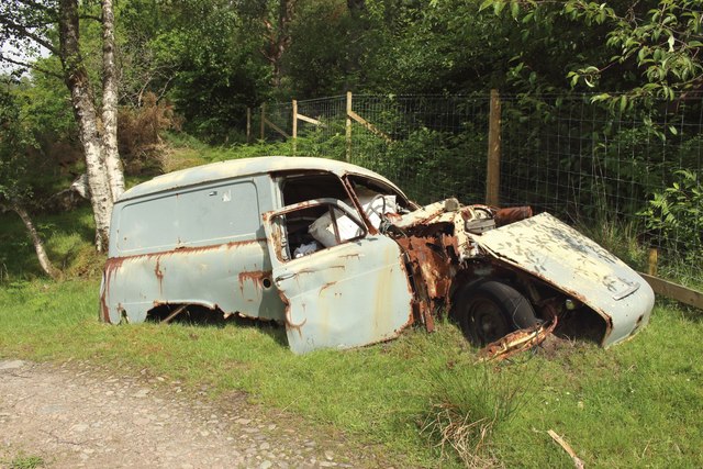
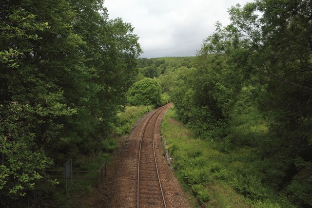
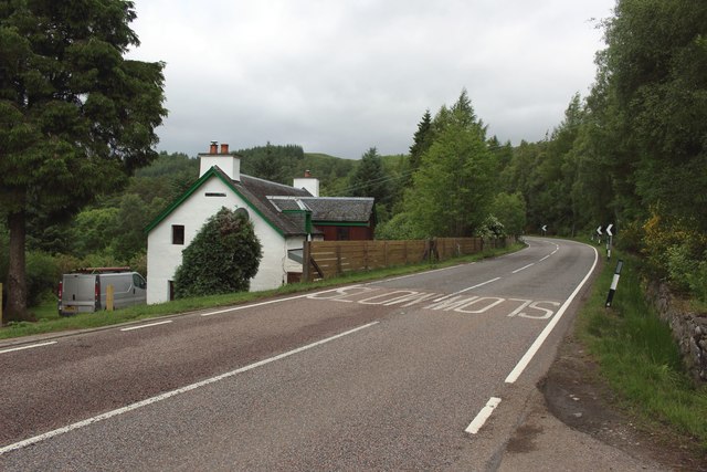
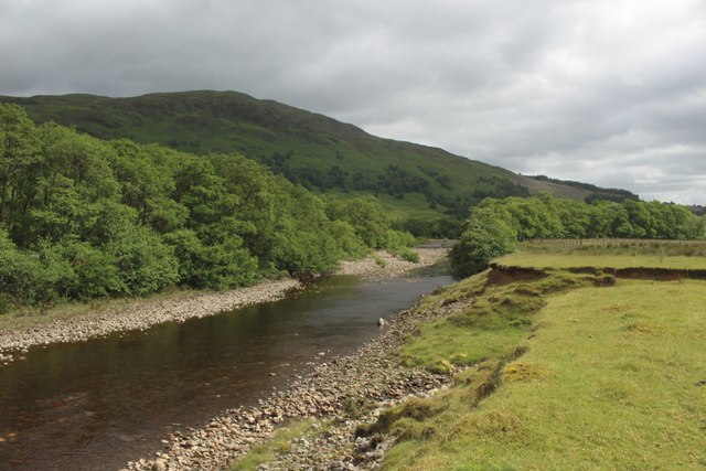
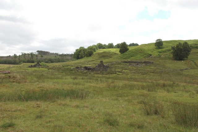
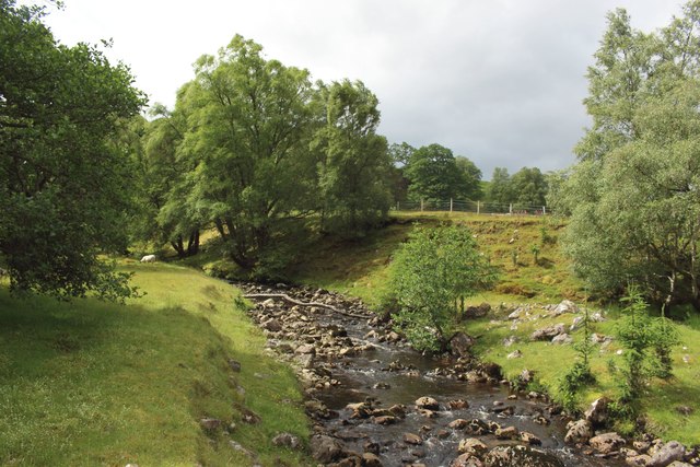
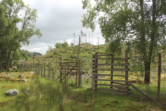
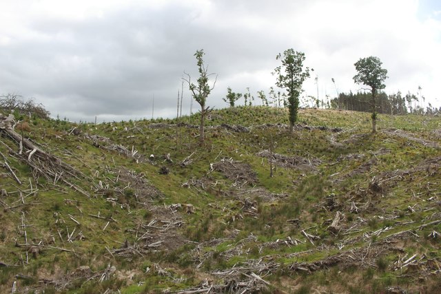
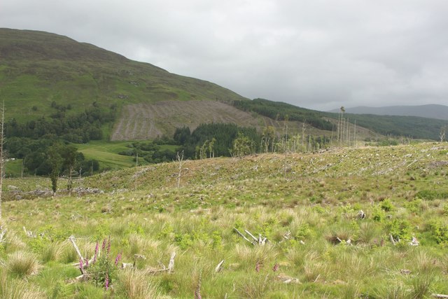
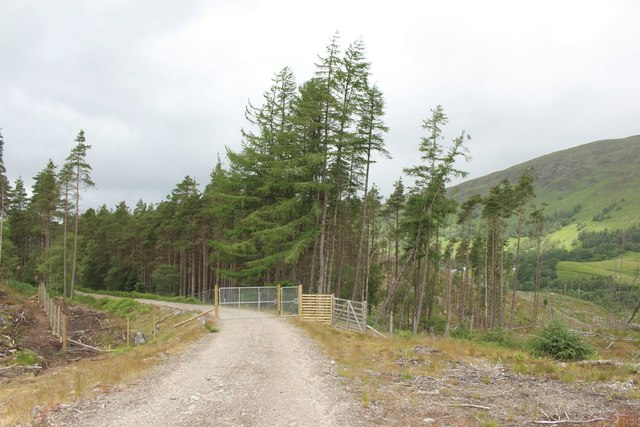
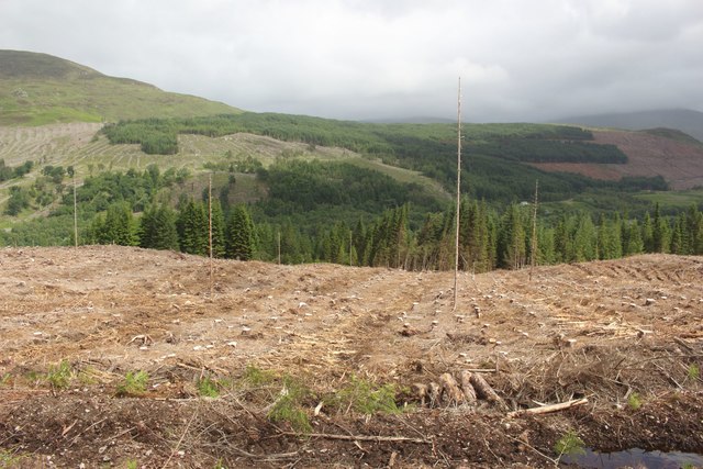
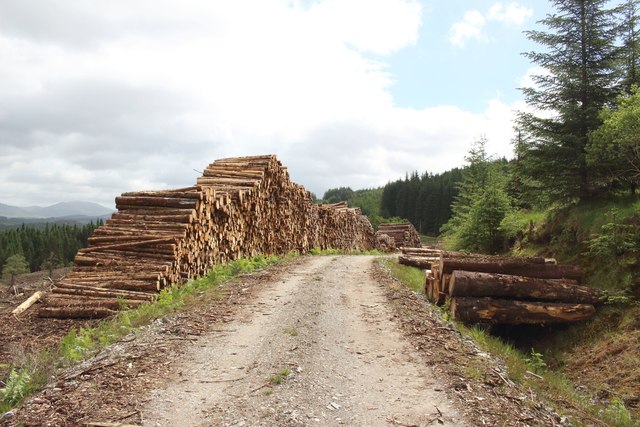
Dail Mhùrlagain Images
Images are sourced within 2km of 56.888479/-4.759897 or Grid Reference NN3180. Thanks to Geograph Open Source API. All images are credited.
Dail Mhùrlagain is located at Grid Ref: NN3180 (Lat: 56.888479, Lng: -4.759897)
Unitary Authority: Highland
Police Authority: Highlands and Islands
What 3 Words
///coiling.viewer.orbited. Near Gairlochy, Highland
Nearby Locations
Related Wikis
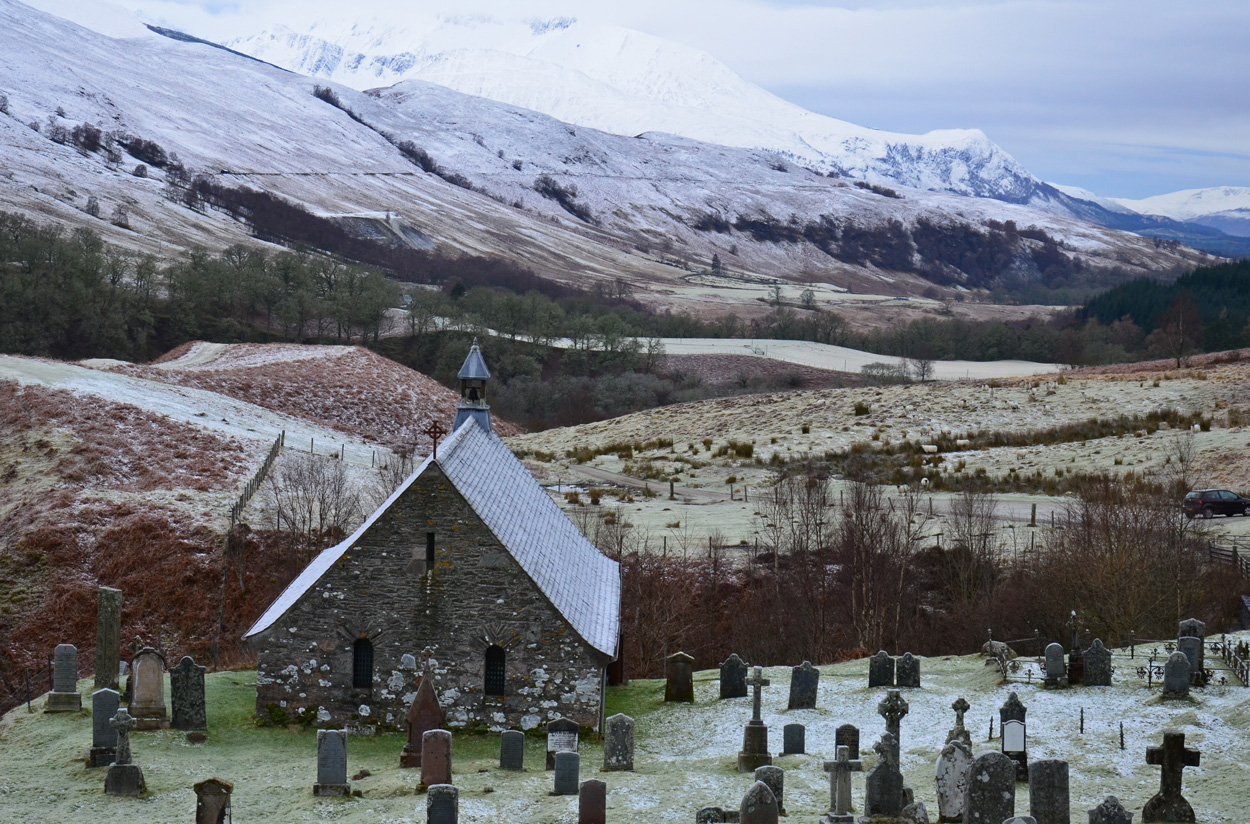
Cille Choirill
Cille Choirill is a 15th-century Roman Catholic church situated in Glen Spean in Lochaber, Scotland. Dedicated to St Kerrill, (also called "Cyril"), it...

Creag Dhubh (Roybridge)
Creag Dhubh (658 m) is a hill in the Grampian Mountains of Scotland. It is located in the Lochaber region, east of Roybridge. A rounded hill, Creag Dhubh...
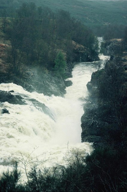
Inverlair Falls
Inverlair Falls is a waterfall of Scotland. == See also == Waterfalls of Scotland == References ==

Achluachrach
Achluachrach (Gaelic: Ach Luachrach) is a small settlement in Glen Spean in Lochaber, in the Highland council area of Scotland. It is located on the A86...
Nearby Amenities
Located within 500m of 56.888479,-4.759897Have you been to Dail Mhùrlagain?
Leave your review of Dail Mhùrlagain below (or comments, questions and feedback).