Fèith a' Mhoraire
Downs, Moorland in Inverness-shire
Scotland
Fèith a' Mhoraire

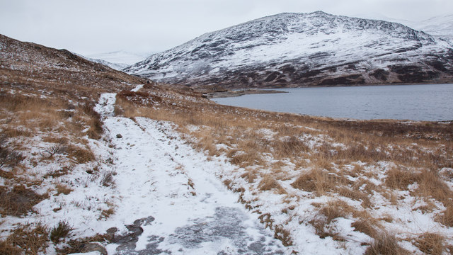
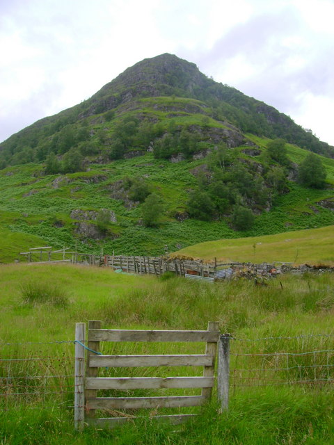
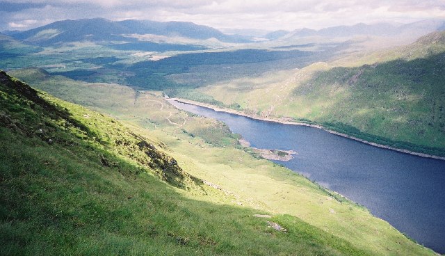
Fèith a' Mhoraire is a beautiful area located in Inverness-shire, Scotland. It is situated in the Downs region, characterized by rolling hills, open grasslands, and heather-clad moorlands. This picturesque landscape provides a serene and tranquil environment for visitors to enjoy the natural beauty of the Scottish Highlands.
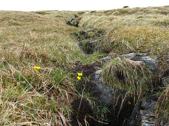
The area around Fèith a' Mhoraire is known for its diverse wildlife and rich biodiversity. It is a haven for birdwatchers, as numerous species of birds can be spotted here, including golden eagles, peregrine falcons, and red grouse. The moorland habitat also supports a variety of plant species, such as heather, bilberry, and bog cotton.
Fèith a' Mhoraire is a popular destination for outdoor enthusiasts and hikers. There are several well-maintained trails that lead through the area, offering stunning panoramic views of the surrounding countryside. The paths are suitable for all levels of fitness and provide opportunities to explore the unique flora and fauna of the region.
Visitors to Fèith a' Mhoraire can also enjoy a range of recreational activities, including picnicking, photography, and wildlife spotting. The tranquil atmosphere and unspoiled nature of the area make it an ideal spot for relaxation and rejuvenation.
Overall, Fèith a' Mhoraire in Inverness-shire is a hidden gem in the Scottish Highlands, offering a captivating blend of downs and moorland landscapes. It is a must-visit destination for nature lovers and those seeking a peaceful retreat away from the hustle and bustle of urban life.
If you have any feedback on the listing, please let us know in the comments section below.
Fèith a' Mhoraire Images
Images are sourced within 2km of 56.762528/-4.750021 or Grid Reference NN3166. Thanks to Geograph Open Source API. All images are credited.


Fèith a' Mhoraire is located at Grid Ref: NN3166 (Lat: 56.762528, Lng: -4.750021)
Unitary Authority: Highland
Police Authority: Highlands and Islands
What 3 Words
///vibrating.renovated.brush. Near Gairlochy, Highland
Nearby Locations
Related Wikis

Leum Uilleim
Leum Uilleim is a mountain in Lochaber, Highland, Scotland which appeared in the film Trainspotting. It is situated about 3 km south-west of the remote...
Creag Ghuanach
Creag Ghuanach (621 m) is a mountain in the Grampian Mountains of Scotland. It is located in Lochaber, at the southern head of Loch Treig. A small but...
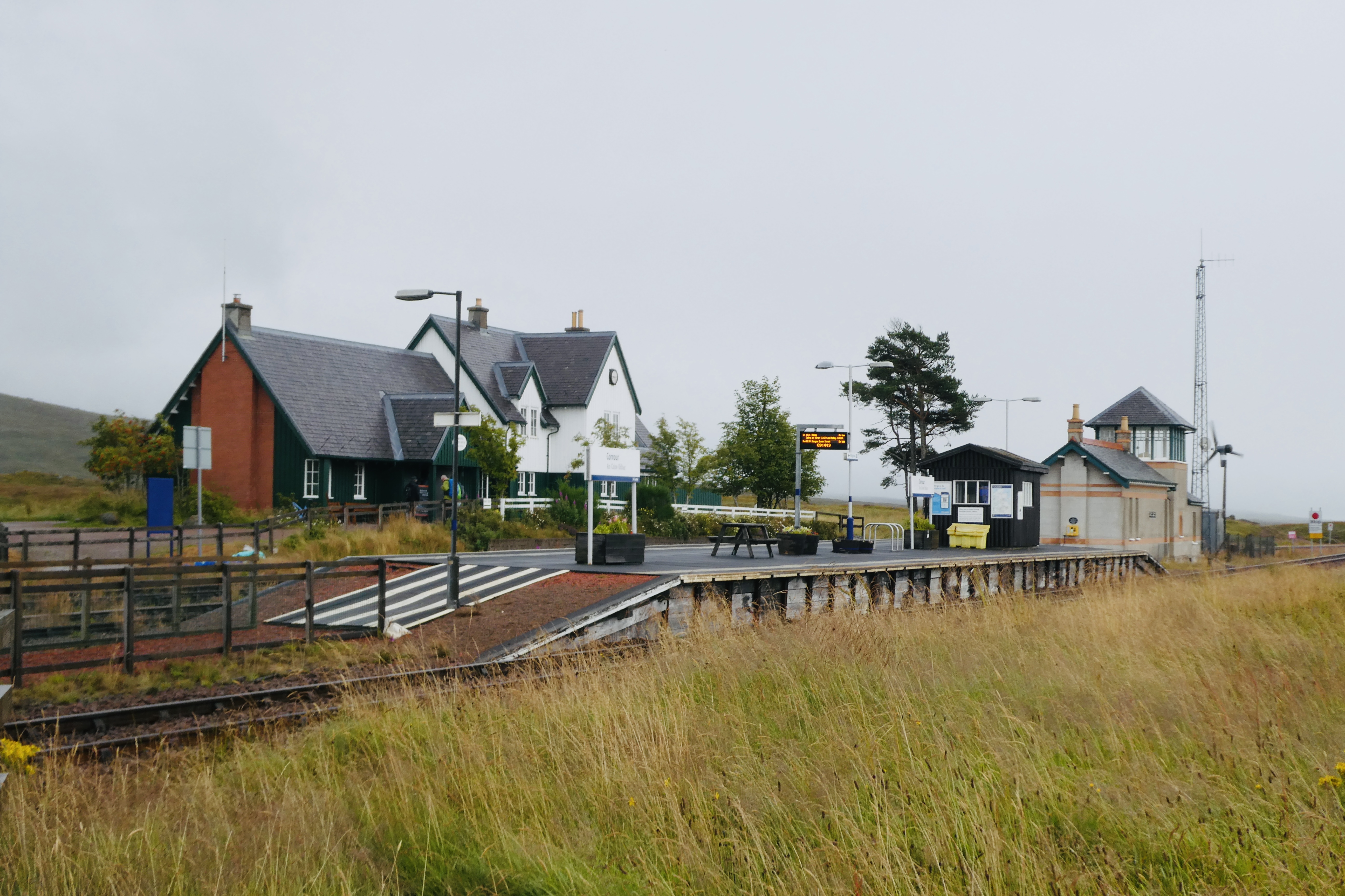
Corrour railway station
Corrour railway station is on the West Highland Line, near Loch Ossian on the Corrour Estate, in the Highland Region (formerly Inverness-shire) of Scotland...
Loch Treig
Loch Treig is a deep freshwater loch situated in a steep-sided glen 20km east of Fort William, in Lochaber, Highland, Scotland. While there are no roads...
Have you been to Fèith a' Mhoraire?
Leave your review of Fèith a' Mhoraire below (or comments, questions and feedback).