Fern Island

Island in Wigtownshire

Scotland

Fern Island

Loch Hempton One of many lochs and lochans on the Machar
Loch Hempton Credit: Jon Alexander

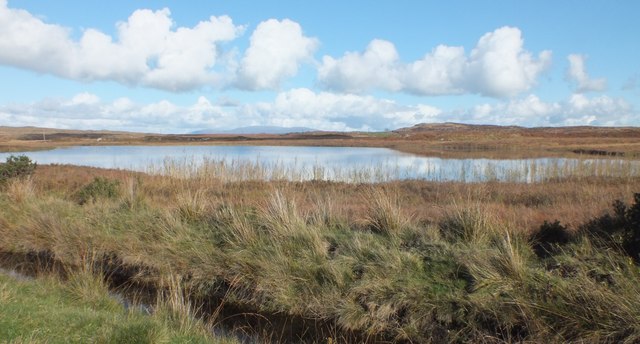
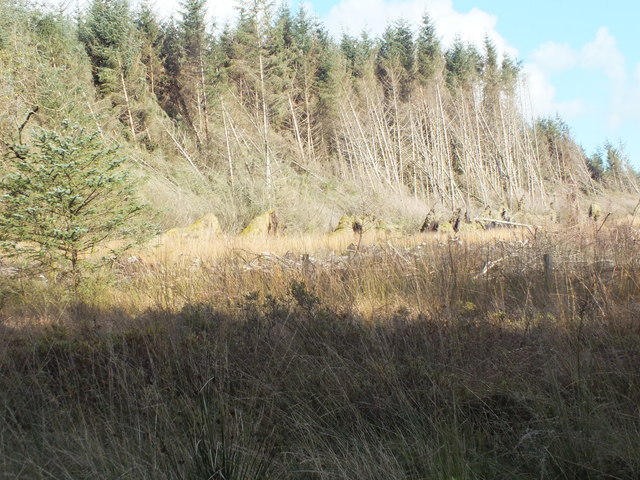
Fern Island is a small island located off the coast of Wigtownshire in southwestern Scotland. Situated in the Irish Sea, it is known for its picturesque landscapes and abundant wildlife. The island measures approximately 1.5 hectares in size and is characterized by its lush greenery, covered in a variety of ferns that give it its name.

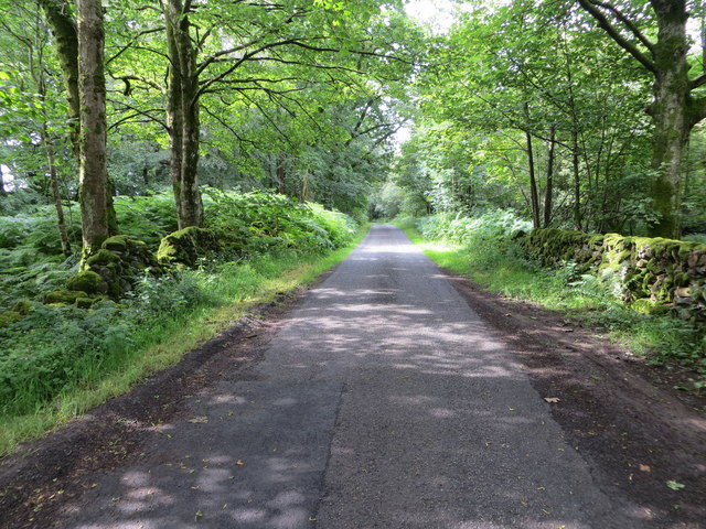
Access to Fern Island is limited, with only a handful of boat tours operating to the island during specific times of the year. This exclusivity has helped maintain the island's pristine condition and protect its natural habitat. Visitors are often attracted to the island's tranquil environment, making it a popular destination for nature enthusiasts and wildlife photographers.

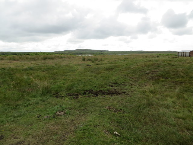
The island is home to a diverse range of bird species, including puffins, guillemots, and razorbills, making it an ideal spot for birdwatching. Seal colonies can also be spotted on the shores surrounding Fern Island, providing visitors with a unique opportunity to observe these marine mammals in their natural habitat.

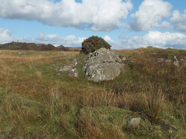
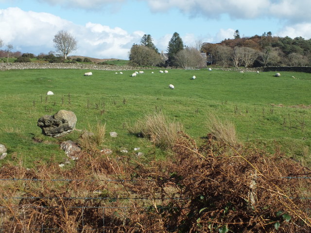
Despite its small size, Fern Island has a rich history. Archaeological excavations have revealed evidence of human occupation dating back to prehistoric times. It is believed that the island was used as a seasonal hunting ground by early settlers. Over the years, it has also been used for grazing livestock.

In conclusion, Fern Island is a captivating destination that offers a glimpse into Scotland's natural beauty and rich history. With its stunning landscapes, diverse wildlife, and serene atmosphere, it provides a unique and memorable experience for those fortunate enough to visit.

If you have any feedback on the listing, please let us know in the comments section below.
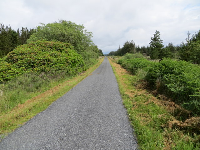
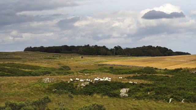
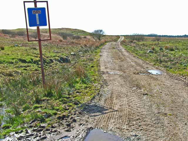
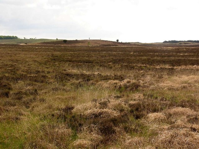
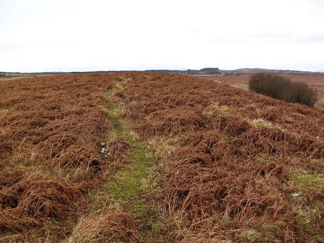
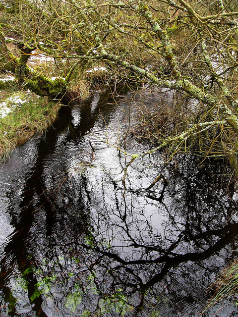
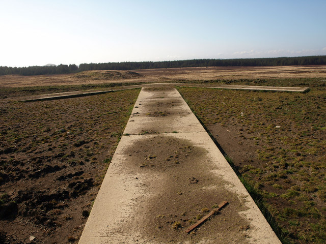
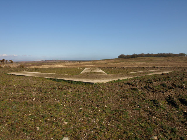
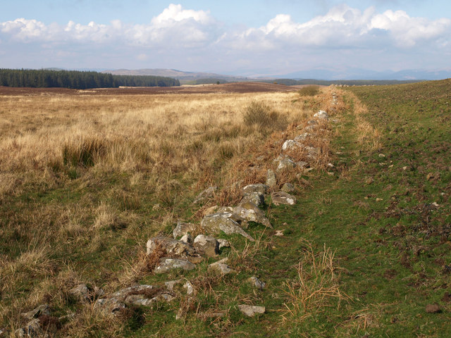
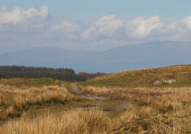
Fern Island Images

Images are sourced within 2km of 54.861781/-4.6336919 or Grid Reference NX3155. Thanks to Geograph Open Source API. All images are credited.

Loch Hempton One of many lochs and lochans on the Machar
Loch Hempton
One of many lochs and lochans on the Machar
Tufted Rock In an otherwise windswept landscape the clump of gorse is managing to hang on to the top of the rock.
Tufted Rock
In an otherwise windswept landscape the clump of gorse is managing to hang on to the top of the rock.
Sheep Grazing Craigeach House in the background.
Sheep Grazing
Craigeach House in the background.
The Road Goes On And On Through Mindork Forest.
The Road Goes On And On
Through Mindork Forest.
A Wall Of Root Plates Clearfelling the area nearest the camera has caused the conifers on the edge of the standing timber to lose their tenuous grip and get blown over.
A Wall Of Root Plates
Clearfelling the area nearest the camera has caused the conifers on the edge of the standing timber to lose their tenuous grip and get blown over.
Minor road beside Mochrum Loch passing through Heathery Ward Wood Looking south-westward.
Minor road beside Mochrum Loch passing through Heathery Ward Wood
Looking south-westward.
Minor road crossing the Moor of Drumwalt Looking north-westward.
Minor road crossing the Moor of Drumwalt
Looking north-westward.
Rough moorland used for cattle and sheep grazing Looking south-eastward towards Fell Loch
Rough moorland used for cattle and sheep grazing
Looking south-eastward towards Fell Loch
Minor road near to Loch Wayoch Looking northward.
Minor road near to Loch Wayoch
Looking northward.
Challochglass Plantation A shelterbelt planted originally to protect the farm of Challochglass from the worst of the wind.
Challochglass Plantation
A shelterbelt planted originally to protect the farm of Challochglass from the worst of the wind.
A decent surface again! The road which left the tarmac at <a href="https://www.geograph.org.uk/gridref/NX2654">NX2654</a> and deteriorated so badly through the forest, at last becomes a decent track again. The tarmac starts again just this side of the camera.
A decent surface again!
The road which left the tarmac at NX2654 and deteriorated so badly through the forest, at last becomes a decent track again. The tarmac starts again just this side of the camera.
Drumdow Moss and Far Hill
Darnarble This is a long low drumlin on Drumwalt Moor. The name on the map, Darnarble (which is from the Gaelic dur an arbaill - the stream of the horse tail) probably refers to a burn shown running beside it, in reality no more than a drainage ditch.
Darnarble
This is a long low drumlin on Drumwalt Moor. The name on the map, Darnarble (which is from the Gaelic dur an arbaill - the stream of the horse tail) probably refers to a burn shown running beside it, in reality no more than a drainage ditch.
Castle Loch burn This unnamed burn runs out of Castle Loch and into Mochrum Loch. Despite being choked with willow scrub it is very deep, making it difficult to cross.
Castle Loch burn
This unnamed burn runs out of Castle Loch and into Mochrum Loch. Despite being choked with willow scrub it is very deep, making it difficult to cross.
Direction arrow This huge concrete arrow is the remnant of a Second World War bombing range, directing aircraft to targets out on the moor.
Direction arrow
This huge concrete arrow is the remnant of a Second World War bombing range, directing aircraft to targets out on the moor.
Direction arrow This huge concrete arrow is the remnant of a Second World War bombing range, directing aircraft to targets out on the moor.
Direction arrow
This huge concrete arrow is the remnant of a Second World War bombing range, directing aircraft to targets out on the moor.
Challochglass Moor
Challochglass Moor
The road over Challochglass Moor This track was once one of the main routes across the northern Machars, and can be traced running from Barlockhart near Glenluce to a crossing of the Bladnoch near Clugston.
The road over Challochglass Moor
This track was once one of the main routes across the northern Machars, and can be traced running from Barlockhart near Glenluce to a crossing of the Bladnoch near Clugston.
Show me another place!

Fern Island is located at Grid Ref: NX3155 (Lat: 54.861781, Lng: -4.6336919)

Unitary Authority: Dumfries and Galloway

Police Authority: Dumfries and Galloway

What 3 Words

///rides.steamed.weeknight. Near Newton Stewart, Dumfries & Galloway

Related Wikis

Mochrum Loch

Mochrum Loch is a large, irregular shaped, shallow, freshwater loch in Dumfries and Galloway, in the Southern Uplands of south-west Scotland. It lies approximately...

Castle Loch, Dumfries and Galloway

Castle Loch is a large, shallow, freshwater loch in Dumfries and Galloway, in the Southern Uplands of south-west Scotland. It lies to the west of Mochrum...

Castle Loch

Castle Loch is a shallow eutrophic loch covering an area of around 100 hectares in the town of Lochmaben in Dumfries and Galloway, Scotland. It lies to...

Doon of May

The Doon of May is a conifer plantation associated with an Iron Age hill fort in Dumfries and Galloway, south-west Scotland. Located around 14 kilometres...

Machars

The Machars (Scottish Gaelic: Machair Ghallghaidhealaibh) is a peninsula in the historical county of Wigtownshire in Galloway in the south-west of Scotland...

Kirkcowan

Kirkcowan is an area about 15 miles in length, and from nearly two to nearly seven miles in breadth, comprising 30,580 acres, of which 7000 are arable...

Kirkcowan railway station

Kirkcowan railway station served the village of Kirkcowan, Dumfries and Galloway, Scotland from 1861 to 1965 on the Portpatrick and Wigtownshire Joint...

Barhapple Loch

Barhapple Loch is a small semicircular freshwater loch located in Wigtownshire, Dumfries and Galloway in Scotland. Barhapple Loch is principally known...

Nearby Amenities

Located within 500m of 54.861781,-4.6336919
Power: pole
Lat/Long: 54.8578413/-4.6339032
Power: pole
Lat/Long: 54.858531/-4.6336116
Power: pole
Lat/Long: 54.8592389/-4.6332882
Power: pole
Lat/Long: 54.8598702/-4.6329966
Power: pole
Lat/Long: 54.8604213/-4.632762
Power: pole
Lat/Long: 54.8611571/-4.6324725
Power: pole
Lat/Long: 54.8615975/-4.63224
Power: pole
Lat/Long: 54.8623139/-4.6319082
Power: pole
Lat/Long: 54.8628709/-4.631661
Power: pole
Lat/Long: 54.8635071/-4.6313588
Power: pole
Lat/Long: 54.8641091/-4.6311115
Power: pole
Lat/Long: 54.8647744/-4.6308093
Power: pole
Lat/Long: 54.8654944/-4.6307797
Power: pole
Lat/Long: 54.8593095/-4.6346049
Power: pole
Lat/Long: 54.8593885/-4.6359109
Power: pole
Lat/Long: 54.8594773/-4.6372254
Power: pole
Lat/Long: 54.8595588/-4.6385377
Power: pole
Lat/Long: 54.8596403/-4.6398522
The data included in this document is from www.openstreetmap.org. The data is made available under ODbL.

Have you been to Fern Island?

Leave your review of Fern Island below (or comments, questions and feedback).