Gall Moss
Downs, Moorland in Renfrewshire
Scotland
Gall Moss
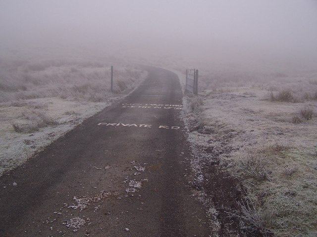
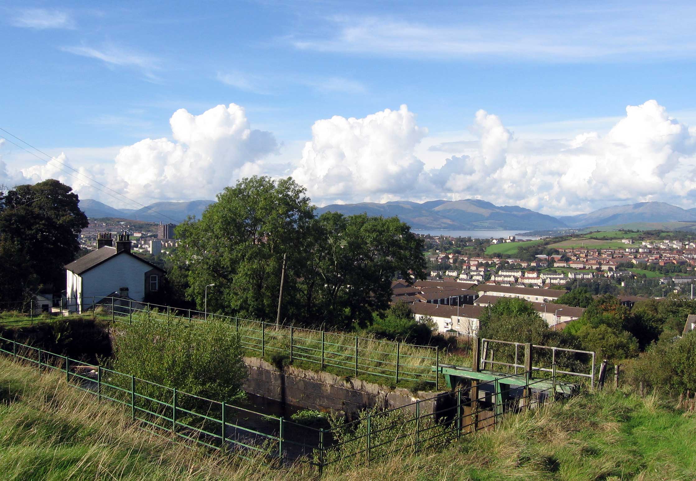
Gall Moss is a stunning natural area located in Renfrewshire, Scotland. It is characterized by its rolling downs and vast moorland, making it a popular destination for nature enthusiasts and outdoor lovers.
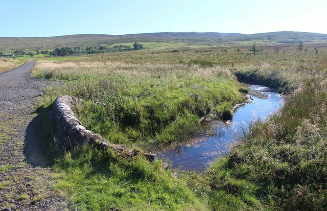
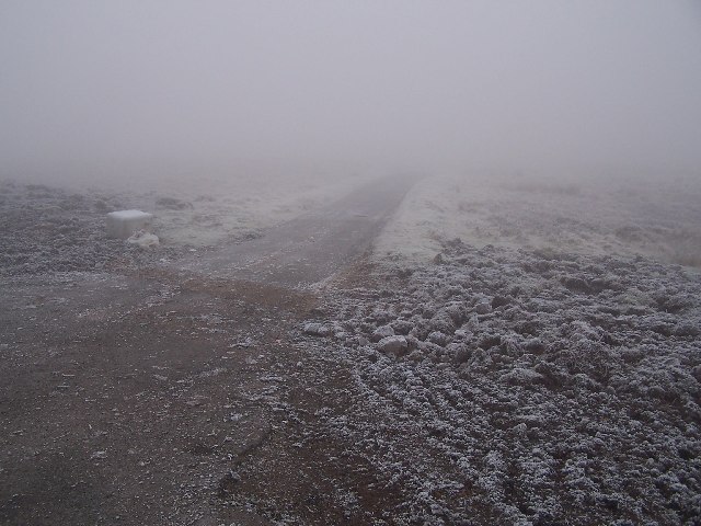
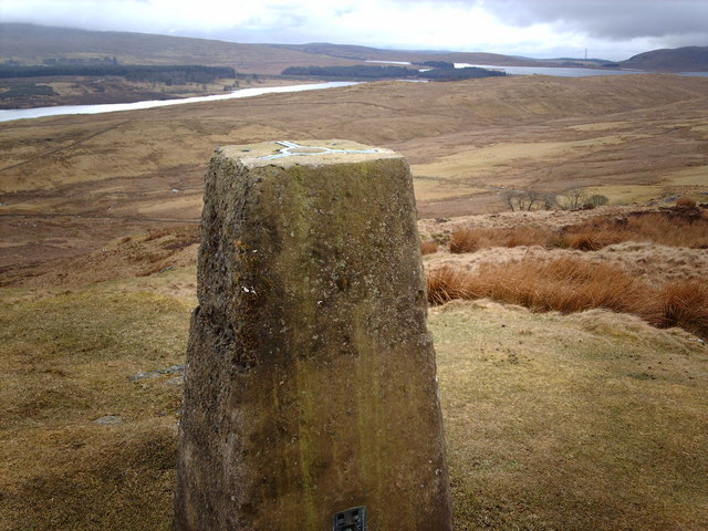
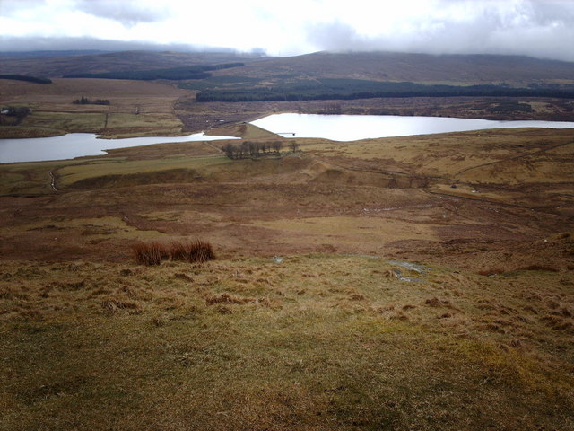
The downs of Gall Moss are known for their picturesque landscapes, featuring gently sloping hills covered in lush green grass. Visitors can enjoy panoramic views of the surrounding countryside, with the moorland stretching out as far as the eye can see. This diverse habitat is home to a variety of flora and fauna, including heather, gorse, and various species of birds.
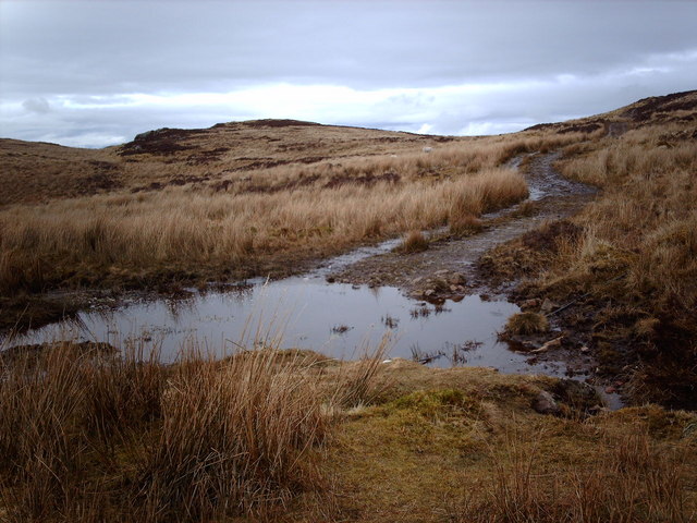
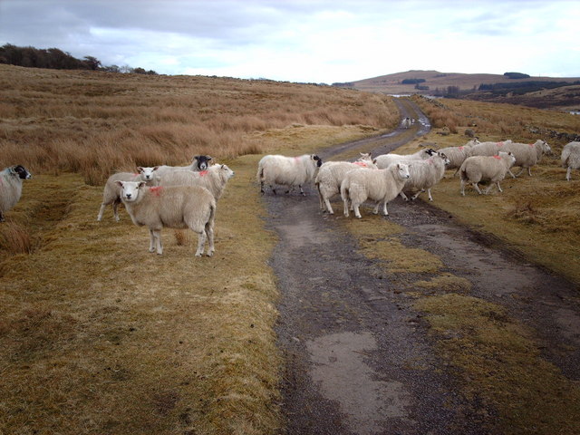
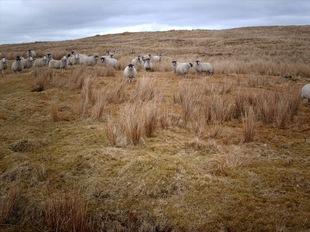
The moorland of Gall Moss offers a unique and tranquil experience for those seeking solitude and a connection with nature. The vast open spaces are perfect for walking, hiking, or simply taking in the peaceful surroundings. Visitors may come across grazing sheep or even spot a majestic red deer roaming freely.
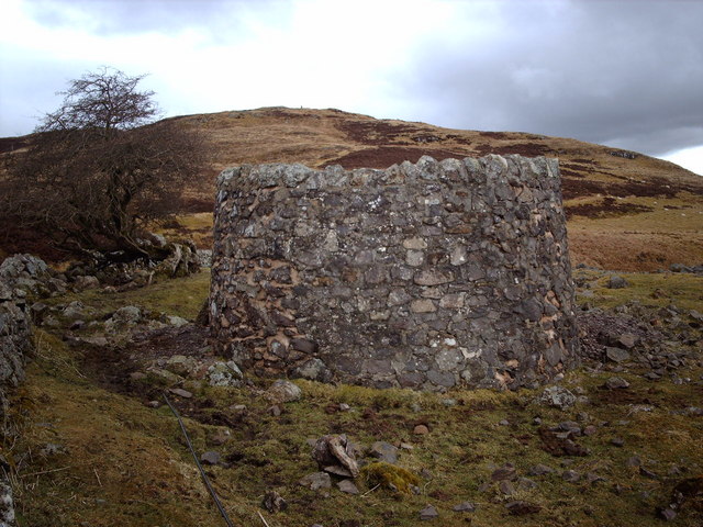
Gall Moss is also of historical and archaeological significance. Ruins of ancient settlements and burial sites can be found scattered throughout the area, providing a glimpse into the rich history of the region.
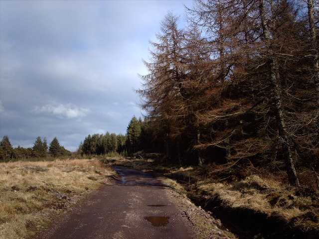
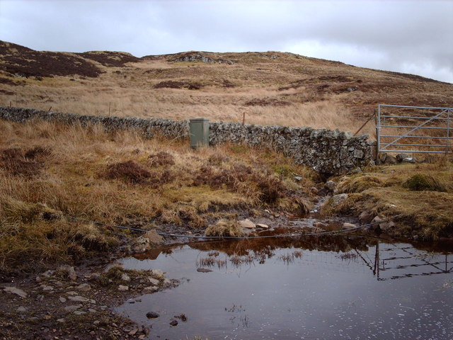
Access to Gall Moss is relatively easy, with well-maintained trails and paths crisscrossing the downs and moorland. The area is a haven for wildlife, offering the opportunity to observe and appreciate the natural wonders of Scotland.
Overall, Gall Moss in Renfrewshire is a must-visit destination for those looking to immerse themselves in the beauty of the Scottish countryside and explore its rich history.
If you have any feedback on the listing, please let us know in the comments section below.
Gall Moss Images
Images are sourced within 2km of 55.91475/-4.7690784 or Grid Reference NS2772. Thanks to Geograph Open Source API. All images are credited.


Gall Moss is located at Grid Ref: NS2772 (Lat: 55.91475, Lng: -4.7690784)
Unitary Authority: Inverclyde
Police Authority: Renfrewshire and Inverclyde
What 3 Words
///sideburns.ready.pheasants. Near Greenock, Inverclyde
Nearby Locations
Related Wikis

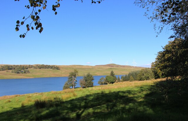
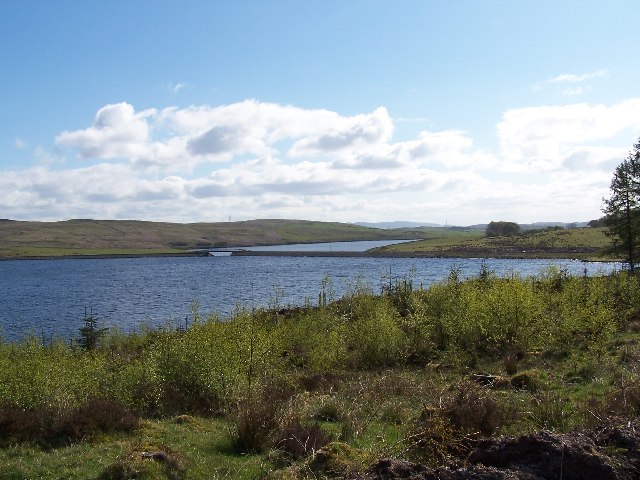
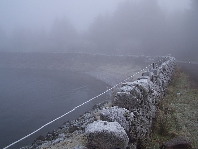
Loch Thom
Loch Thom is a reservoir which since 1827 has provided a water supply to the town of Greenock in Inverclyde, Scotland. It is named after the civil engineer...

Gryffe Reservoirs
The Gryffe Reservoirs, also spelled 'Gryfe', take their name from the River Gryffe, name deriving from the Gaelic garbh meaning "rough stream". are two...

Inverclyde (UK Parliament constituency)
Inverclyde is a parliamentary constituency of the House of Commons of the Parliament of the United Kingdom. It replaced Greenock and Inverclyde and the...

Inverclyde
Inverclyde (Scots: Inerclyde, Scottish Gaelic: Inbhir Chluaidh, pronounced [iɲiɾʲˈxl̪ˠuəj], "mouth of the Clyde") is one of 32 council areas used for local...
Overton, Greenock
Overton is an area in the suburbs of Greenock, Inverclyde. Overton offers excellent views across the River Clyde and suburban Greenock. The area is the...
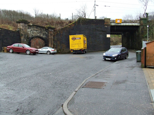
Upper Greenock railway station
Upper Greenock railway station was a railway station serving the town of Greenock, Inverclyde, Scotland, originally as part of the Greenock and Wemyss...

Greenock rail crash
On 25 June 1994, the 22:45 from Wemyss Bay to Glasgow, in Scotland, derailed and smashed into a bridge after hitting concrete blocks placed deliberately...
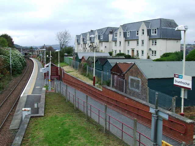
Drumfrochar railway station
Drumfrochar railway station is a railway station located in a residential district in the south-western part of Greenock, Scotland. The station is managed...
Nearby Amenities
Located within 500m of 55.91475,-4.7690784Have you been to Gall Moss?
Leave your review of Gall Moss below (or comments, questions and feedback).