Glen o' Hecklemoor
Valley in Renfrewshire
Scotland
Glen o' Hecklemoor
Glen o' Hecklemoor is a picturesque valley located in Renfrewshire, Scotland. Nestled amidst rolling hills and lush greenery, this tranquil valley is a haven for nature lovers and outdoor enthusiasts.
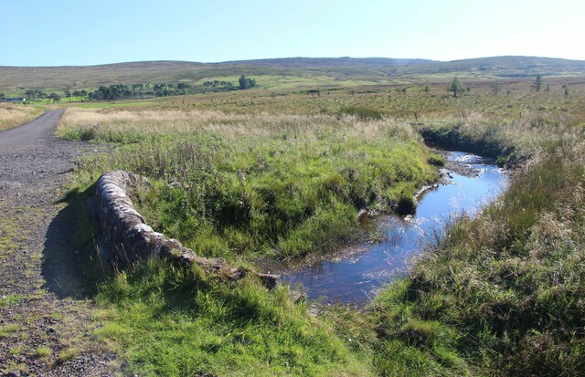
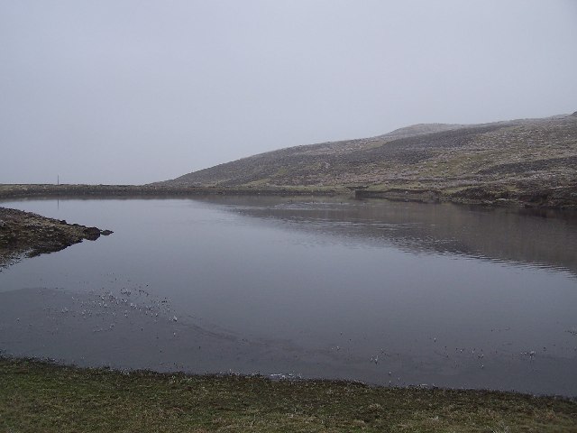
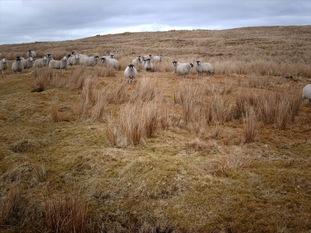
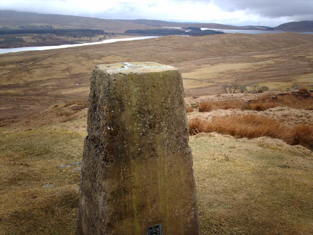
The valley is known for its stunning natural beauty, with its meandering river, dense forests, and vibrant wildflowers. The crystal-clear waters of the river provide a habitat for various species of fish, making it a popular spot for fishing enthusiasts. The valley is also home to a diverse range of wildlife, including deer, rabbits, and a variety of bird species, providing ample opportunities for birdwatchers and photographers.
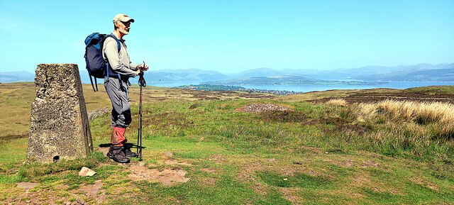
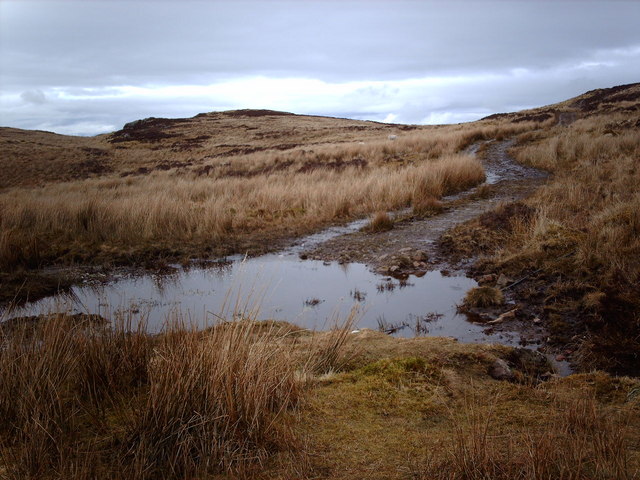
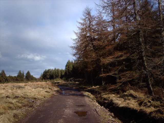
Glen o' Hecklemoor offers a range of recreational activities for visitors to enjoy. Hiking and walking trails wind through the valley, offering breathtaking views of the surrounding countryside. The valley is also a popular destination for cycling enthusiasts, with well-maintained paths and challenging terrains. Additionally, there are ample picnic spots and camping areas, allowing visitors to immerse themselves in the tranquility of the valley.
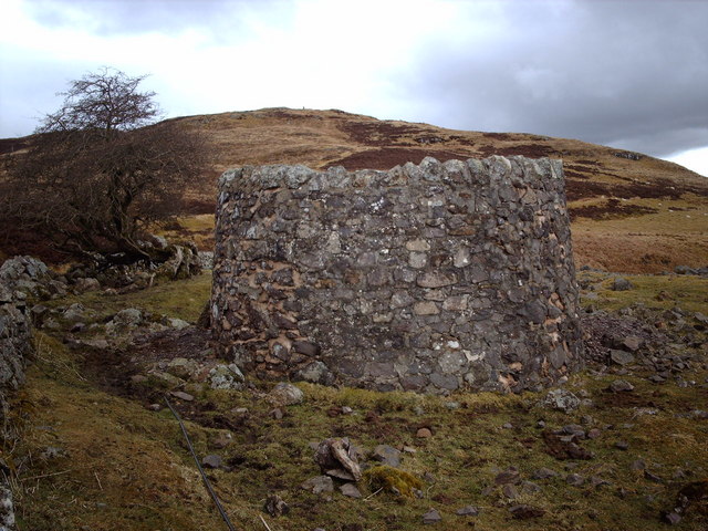
The valley is rich in history and cultural heritage. It is believed that the area has been inhabited since ancient times, with traces of Iron Age settlements and burial sites found in the vicinity. The ruins of an old castle, perched on a hilltop overlooking the valley, add to its historical charm.
Overall, Glen o' Hecklemoor is a hidden gem in Renfrewshire, offering a peaceful escape from the hustle and bustle of city life. Its natural beauty, recreational activities, and historical significance make it a must-visit destination for both locals and tourists alike.
If you have any feedback on the listing, please let us know in the comments section below.
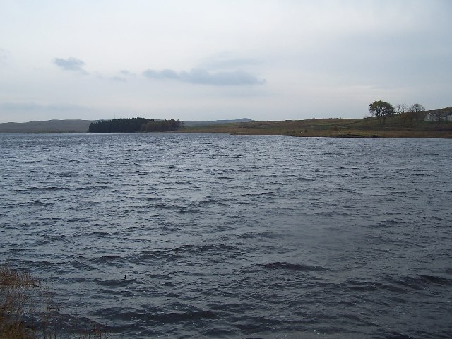
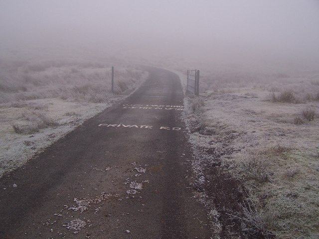
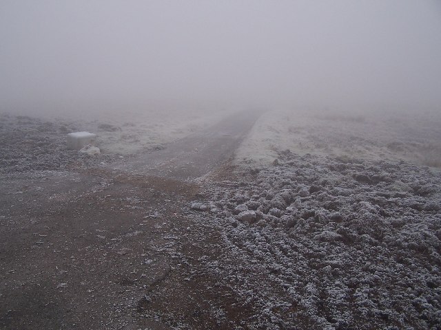
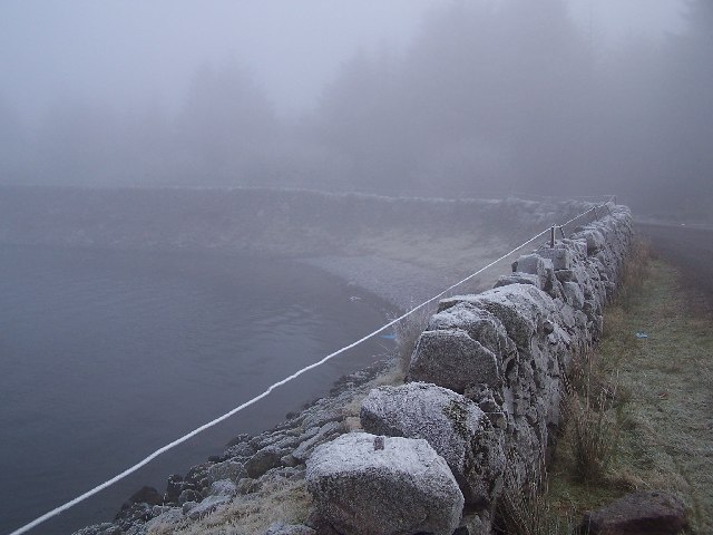
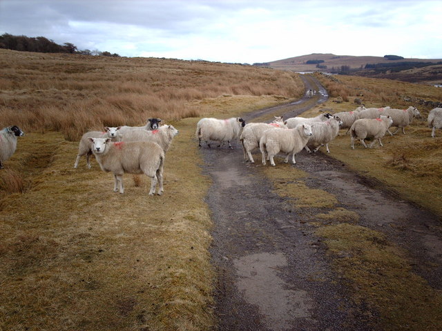
Glen o' Hecklemoor Images
Images are sourced within 2km of 55.91728/-4.7672902 or Grid Reference NS2772. Thanks to Geograph Open Source API. All images are credited.


Glen o' Hecklemoor is located at Grid Ref: NS2772 (Lat: 55.91728, Lng: -4.7672902)
Unitary Authority: Inverclyde
Police Authority: Renfrewshire and Inverclyde
What 3 Words
///bath.clouds.copies. Near Greenock, Inverclyde
Nearby Locations
Related Wikis

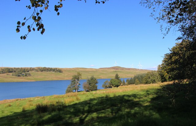
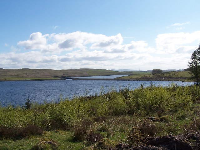
Loch Thom
Loch Thom is a reservoir which since 1827 has provided a water supply to the town of Greenock in Inverclyde, Scotland. It is named after the civil engineer...

Gryffe Reservoirs
The Gryffe Reservoirs, also spelled 'Gryfe', take their name from the River Gryffe, name deriving from the Gaelic garbh meaning "rough stream". are two...

Inverclyde (UK Parliament constituency)
Inverclyde is a parliamentary constituency of the House of Commons of the Parliament of the United Kingdom. It replaced Greenock and Inverclyde and the...

Inverclyde
Inverclyde (Scots: Inerclyde, Scottish Gaelic: Inbhir Chluaidh, pronounced [iɲiɾʲˈxl̪ˠuəj], "mouth of the Clyde") is one of 32 council areas used for local...
Nearby Amenities
Located within 500m of 55.91728,-4.7672902Have you been to Glen o' Hecklemoor?
Leave your review of Glen o' Hecklemoor below (or comments, questions and feedback).