Darndaff Plantation
Wood, Forest in Renfrewshire
Scotland
Darndaff Plantation
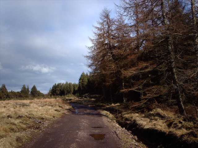
Darndaff Plantation is a sprawling woodland located in Renfrewshire, Scotland. This vast plantation covers a significant area of land and is known for its diverse range of trees and rich biodiversity. Nestled amidst the picturesque landscape, Darndaff Plantation offers visitors a tranquil escape into nature.
The woodland is primarily composed of native species such as oak, birch, beech, and pine trees, which create a diverse and vibrant ecosystem. The trees provide a canopy that filters sunlight, creating a cool and soothing ambiance within the plantation. The forest floor is adorned with a lush carpet of ferns, mosses, and wildflowers, adding to its natural charm.
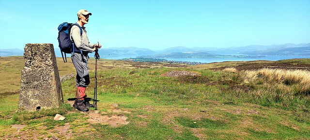
Darndaff Plantation is a popular destination for outdoor enthusiasts and nature lovers. The plantation offers numerous walking trails and paths, allowing visitors to explore its beauty at their own pace. These trails wind through the woodland, offering breathtaking views of the surrounding countryside and opportunities for wildlife spotting.
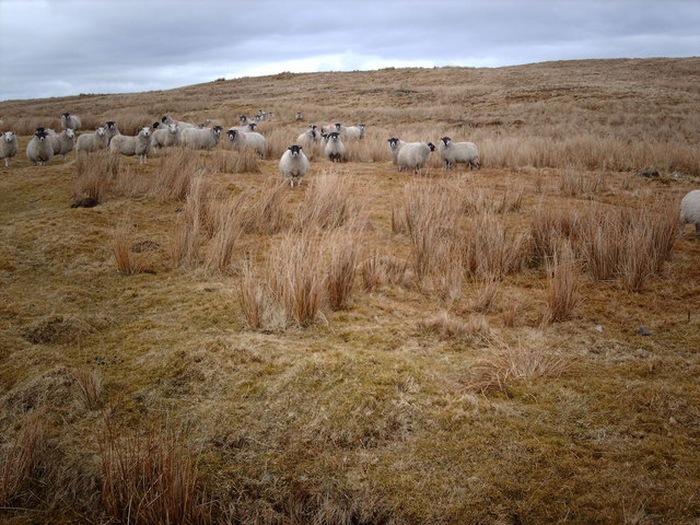
The plantation is home to a wide range of wildlife, including deer, foxes, rabbits, and various bird species. It serves as an important habitat for these creatures, providing them with food and shelter. Birdwatchers can delight in spotting species such as woodpeckers, owls, and thrushes, among others.
Darndaff Plantation also offers educational opportunities, with guided tours and workshops on forestry and conservation. These initiatives aim to raise awareness about the importance of preserving natural habitats and maintaining the delicate balance of ecosystems.
Overall, Darndaff Plantation is a remarkable woodland that showcases the beauty and diversity of Scotland's natural landscape. Its scenic trails, abundant wildlife, and commitment to environmental conservation make it a must-visit destination for nature enthusiasts and those seeking a peaceful retreat.
If you have any feedback on the listing, please let us know in the comments section below.
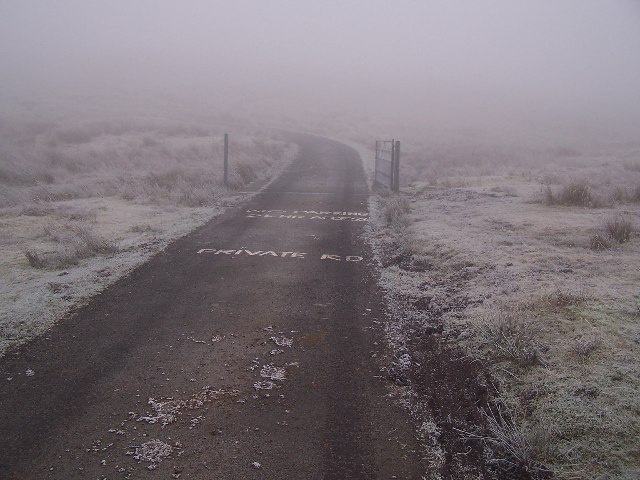
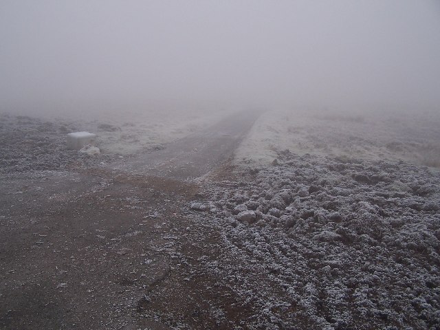
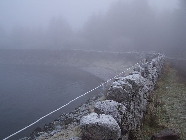
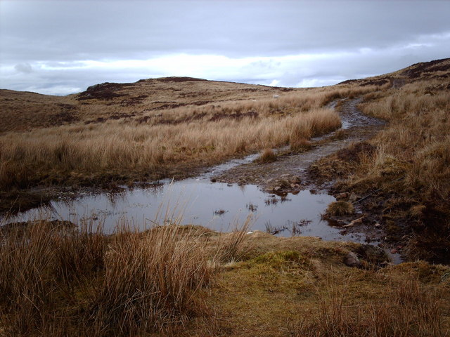
Darndaff Plantation Images
Images are sourced within 2km of 55.913746/-4.7589398 or Grid Reference NS2772. Thanks to Geograph Open Source API. All images are credited.


Darndaff Plantation is located at Grid Ref: NS2772 (Lat: 55.913746, Lng: -4.7589398)
Unitary Authority: Inverclyde
Police Authority: Renfrewshire and Inverclyde
What 3 Words
///driving.passenger.beyond. Near Greenock, Inverclyde
Nearby Locations
Related Wikis

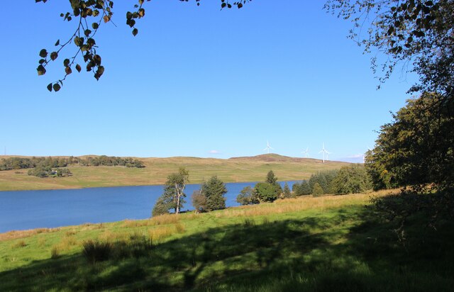
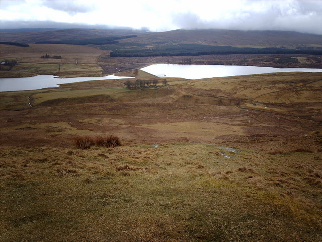
Gryffe Reservoirs
The Gryffe Reservoirs, also spelled 'Gryfe', take their name from the River Gryffe, name deriving from the Gaelic garbh meaning "rough stream". are two...

Inverclyde (UK Parliament constituency)
Inverclyde is a parliamentary constituency of the House of Commons of the Parliament of the United Kingdom. It replaced Greenock and Inverclyde and the...

Inverclyde
Inverclyde (Scots: Inerclyde, Scottish Gaelic: Inbhir Chluaidh, pronounced [iɲiɾʲˈxl̪ˠuəj], "mouth of the Clyde") is one of 32 council areas used for local...

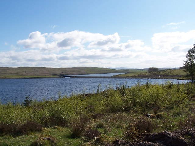
Loch Thom
Loch Thom is a reservoir which since 1827 has provided a water supply to the town of Greenock in Inverclyde, Scotland. It is named after the civil engineer...
Related Videos


#explore #travel #scotland #motivationalvideo #motivational #inspiration #nature #viral #worldiswow
Loch Thom, Inverclyde Scotland #inverclyde #greenock #reservoir #relax #feelinggood #scottishtiktok #localpride ...

Chic & Shuggy Oot&aboot
Hugh Mcguillian (Shuggy) and I picked up for Argyll Jimmy Boyland plaques that had been made in remembrance of lost Argyll's' ...

Corlick Hill from The Watermans Cottage Overton
We set off initially heading for Cornalees Fisherman's cafe for hot rolls and cuppa before setting off on our walk proper.We headed ...
Nearby Amenities
Located within 500m of 55.913746,-4.7589398Have you been to Darndaff Plantation?
Leave your review of Darndaff Plantation below (or comments, questions and feedback).