American Garden

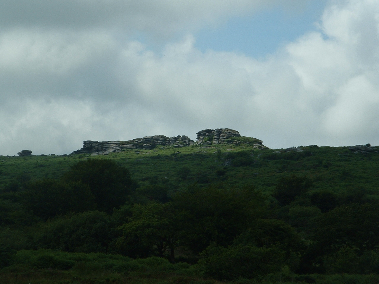
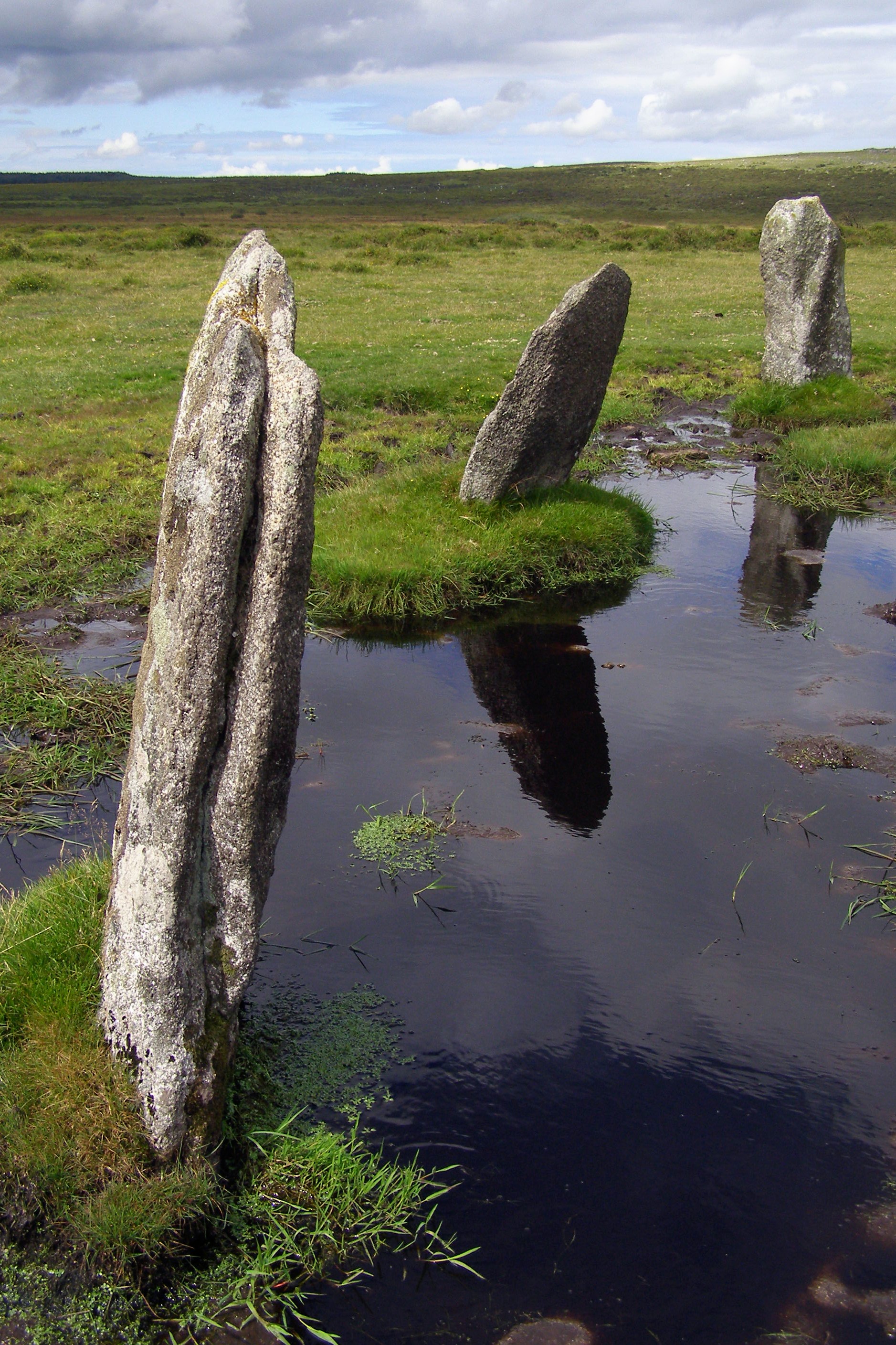
Downs, Moorland in Cornwall
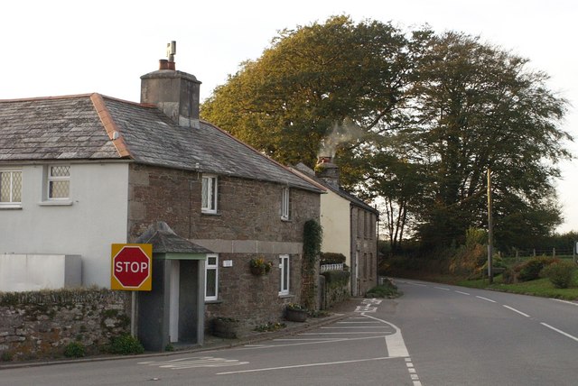
England

American Garden

St Torney's Church
St Torney's Church Credit: Paul Barnett

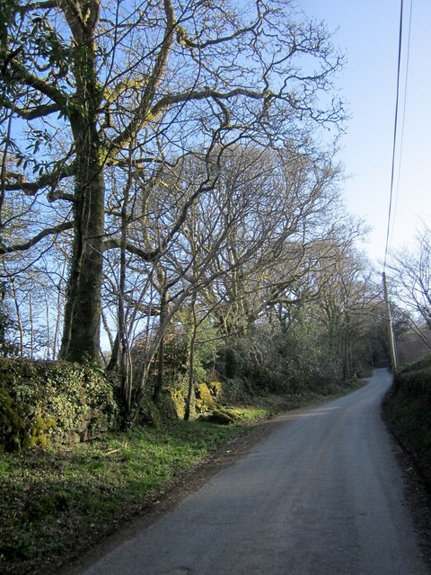
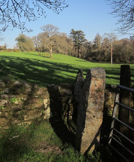
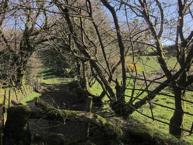
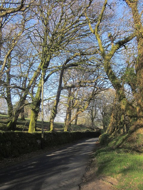
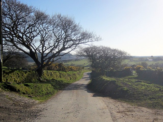
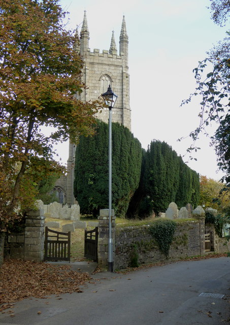
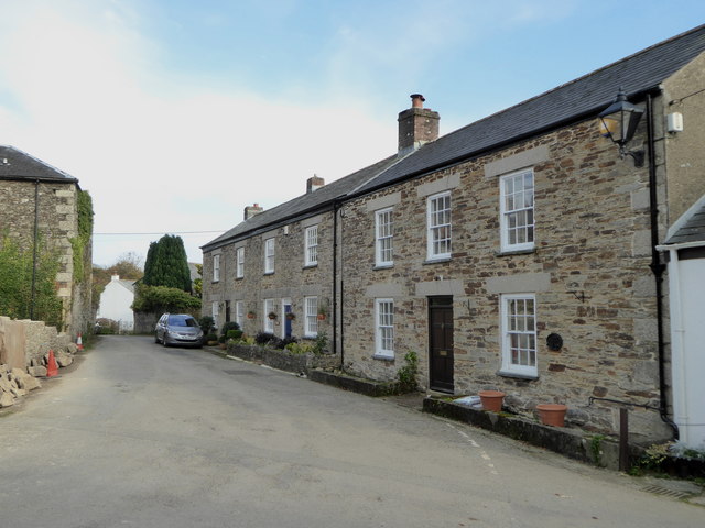
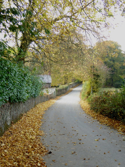
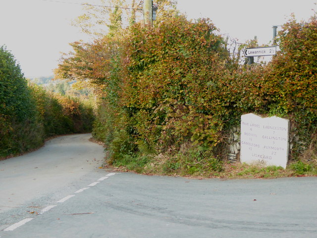
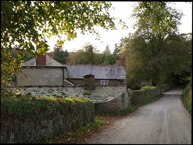
American Garden is a picturesque area located in Cornwall, England, known for its stunning natural beauty and diverse landscape. Situated in the Downs and Moorland region, this area offers a unique blend of coastal cliffs, rolling hills, and lush green fields.

The coastline of American Garden is characterized by dramatic cliffs that provide breathtaking views of the Atlantic Ocean. Visitors can enjoy long walks along the coastal path, taking in the fresh sea breeze and admiring the rugged beauty of the surroundings. The area is also popular among birdwatchers, as it serves as a nesting ground for various seabirds.

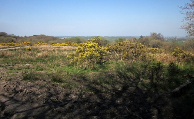
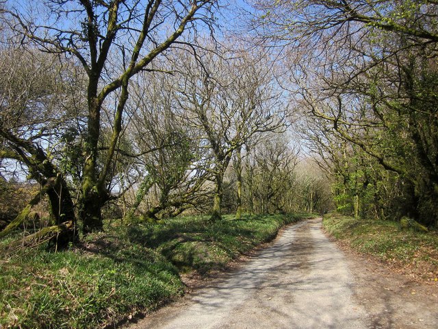
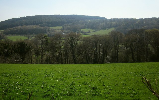
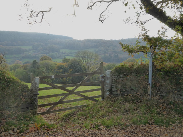
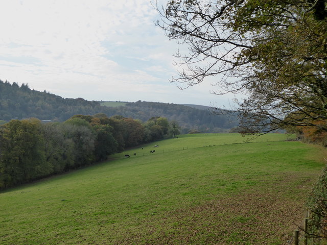
Inland, the landscape transforms into a patchwork of green fields and moorland. The open spaces are ideal for hiking and exploring, with numerous trails crisscrossing the area. The moorland is particularly stunning during the summer months when it bursts into a vibrant display of colorful wildflowers.

American Garden is also home to a variety of wildlife, including deer, foxes, and rabbits. Nature enthusiasts can spot these animals while exploring the area or simply relax and enjoy the tranquility of the countryside.

For those seeking history and culture, there are several ancient sites in and around American Garden. These include ancient burial mounds, stone circles, and remnants of Iron Age settlements, providing a glimpse into the region's rich past.

Overall, American Garden in Cornwall offers a delightful escape into nature, with its striking cliffs, rolling hills, and rich wildlife. Whether you are a hiker, birdwatcher, or history buff, this area has something to offer for everyone.

If you have any feedback on the listing, please let us know in the comments section below.

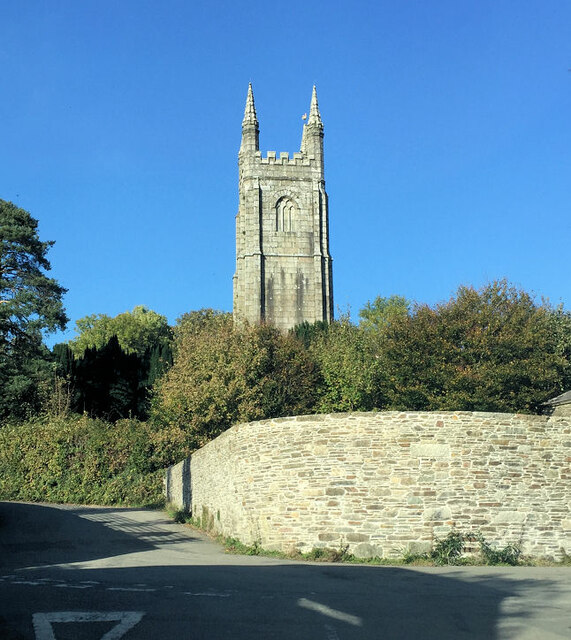
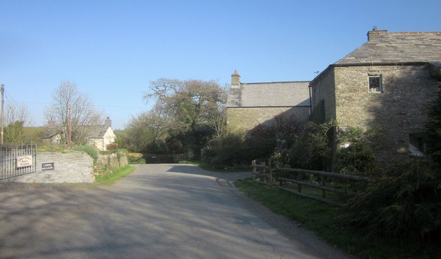
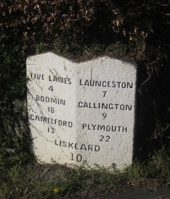
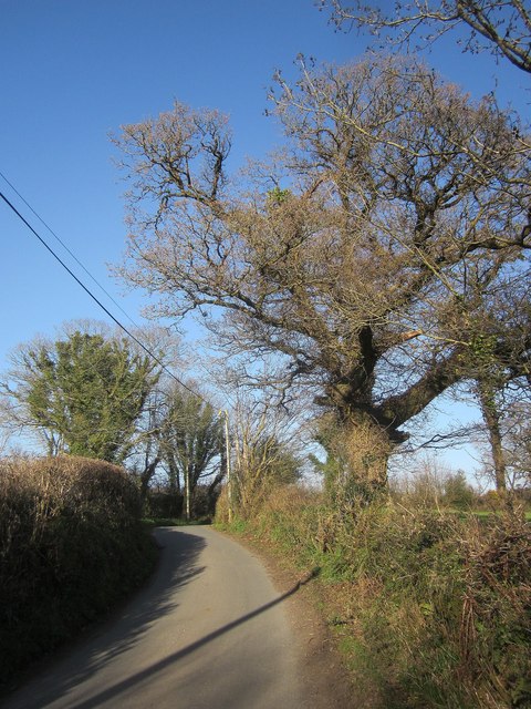
American Garden Images

Images are sourced within 2km of 50.569423/-4.4598098 or Grid Reference SX2577. Thanks to Geograph Open Source API. All images are credited.

St Torney's Church
St Torney's Church
Lane at Trevadlock Manor Approaching the junction at the hamlet's centre. The gable-ended building is the northern part of the L-shaped Trevadlock Manor <span class="nowrap"><a title="http://www.historicengland.org.uk/listing/the-list/list-entry/1249481" rel="nofollow ugc noopener" href="http://www.historicengland.org.uk/listing/the-list/list-entry/1249481">Link</a><img style="margin-left:2px;" alt="External link" title="External link - shift click to open in new window" src="https://s1.geograph.org.uk/img/external.png" width="10" height="10"/></span> .
Lane at Trevadlock Manor
Approaching the junction at the hamlet's centre. The gable-ended building is the northern part of the L-shaped Trevadlock Manor LinkExternal link .
Milestone, Trebartha This fine milestone is of "unusual design ... in the form of a double post with two triangular heads" <span class="nowrap"><a title="http://www.historicengland.org.uk/listing/the-list/list-entry/1250154" rel="nofollow ugc noopener" href="http://www.historicengland.org.uk/listing/the-list/list-entry/1250154">Link</a><img style="margin-left:2px;" alt="External link" title="External link - shift click to open in new window" src="https://s1.geograph.org.uk/img/external.png" width="10" height="10"/></span> . The description then confuses the places and their respective distances, but the milestone itself is impeccably clear. It is also visible in <a href="https://www.geograph.org.uk/photo/4431488">SX2677 : Crossroads, Trebartha</a>.
Milestone, Trebartha
This fine milestone is of "unusual design ... in the form of a double post with two triangular heads" LinkExternal link . The description then confuses the places and their respective distances, but the milestone itself is impeccably clear. It is also visible in SX2677 : Crossroads, Trebartha.
Lane at Stonaford An oak by a lane making a brief visit to this square.
Lane at Stonaford
An oak by a lane making a brief visit to this square.
Lane past Stonaford Stones Plantation A no through road onto Bodmin Moor, seen from the same spot as <a href="https://www.geograph.org.uk/photo/4431506">SX2577 : Lane past  Stonaford House</a>.
Lane past Stonaford Stones Plantation
A no through road onto Bodmin Moor, seen from the same spot as SX2577 : Lane past Stonaford House.
Gateposts, wall and field, Stonaford A short way into the field, well before the tree and cattle, the line of view crosses into <a href="https://www.geograph.org.uk/gridref/SX2577">SX2577</a>.
Gateposts, wall and field, Stonaford
A short way into the field, well before the tree and cattle, the line of view crosses into SX2577.
Track south-west of Stonaford A private track, obstructed in the foreground, leading from the no through lane from Tresellern to Lemarnedown Plantation.
Track south-west of Stonaford
A private track, obstructed in the foreground, leading from the no through lane from Tresellern to Lemarnedown Plantation.
Lane to Stonaford The no through lane from Tresellern, seen from the same spot as <a href="https://www.geograph.org.uk/photo/4701747">SX2577 : Track south-west of Stonaford</a>, running through trees that form a western extension of Old Plantation.
Lane to Stonaford
The no through lane from Tresellern, seen from the same spot as SX2577 : Track south-west of Stonaford, running through trees that form a western extension of Old Plantation.
Lane to Tresellern The no through lane to Tresellern descends towards the stream shown in <a href="https://www.geograph.org.uk/photo/4431602">SX2377 : Stream by Industry</a>, where it ends as a public road.
Lane to Tresellern
The no through lane to Tresellern descends towards the stream shown in SX2377 : Stream by Industry, where it ends as a public road.
Gorse above East Castick Wood Seen from beside the lane to Twelve Men's Moor.
Gorse above East Castick Wood
Seen from beside the lane to Twelve Men's Moor.
Lane to Berriowbridge Skirting Bowdanoddon Wood on the right, this is the no through road from Twelve Men's Moor.
Lane to Berriowbridge
Skirting Bowdanoddon Wood on the right, this is the no through road from Twelve Men's Moor.
Across the Lynher valley From the same spot as <a href="https://www.geograph.org.uk/photo/4449140">SX2676 : Lynher valley near North Hill</a>, looking to the right, with overlap. The farm on the far slopes is East Castick. Again, Bowdanoddon Wood is on the horizon.
Across the Lynher valley
From the same spot as SX2676 : Lynher valley near North Hill, looking to the right, with overlap. The farm on the far slopes is East Castick. Again, Bowdanoddon Wood is on the horizon.
The tower of the Church of St Torney, North Hill Largely late C15 or early C16 and with some C14 internal details.  Grade I Listed.
The tower of the Church of St Torney, North Hill
Largely late C15 or early C16 and with some C14 internal details. Grade I Listed.
Cottages in North Hill Dating from early C19, all three cottages are Grade II Listed.
Cottages in North Hill
Dating from early C19, all three cottages are Grade II Listed.
Field gate in Lynher Way The public footpath leads down into the Lynher valley.
Field gate in Lynher Way
The public footpath leads down into the Lynher valley.
Field in the Lynher valley at North Hill
Autumn leaves on the road at Trebartha
Unusual milestone near High Park Lodge Dating from the mid C19, the milestone is Grade II Listed.
Unusual milestone near High Park Lodge
Dating from the mid C19, the milestone is Grade II Listed.
Show me another place!

American Garden is located at Grid Ref: SX2577 (Lat: 50.569423, Lng: -4.4598098)

Unitary Authority: Cornwall

Police Authority: Devon and Cornwall

What 3 Words

///sizing.taskbar.crush. Near North Hill, Cornwall

Related Wikis

Trebartha

Trebartha is a hamlet in Cornwall, England, United Kingdom, in the parish of North Hill and in the valley of the River Lynher. == History == The manor...

North Hill, Cornwall

North Hill (Cornish: Bre Gledh) is a village and civil parish in Cornwall, England, United Kingdom. The village is situated on the east side of the River...

Trevadlock

Trevadlock is a hamlet south of Lewannick, Cornwall, United Kingdom. It includes a re-furbished old chapel, old schoolroom and semi-detached cottages....

Hawk's Tor, North Hill

Hawk's Tor is an elongated hill, 329 metres (1,079 ft) high and running from WSW to ENE, on Bodmin Moor in the county of Cornwall, England, UK. It stands...

Berriowbridge

Berriowbridge is a hamlet in the parish of North Hill in east Cornwall, England, United Kingdom. It is situated in the River Lynher valley on the southeast...

Nine Stones, Altarnun

The Nine Stones (or Altarnun stone circle) is a stone circle 3 kilometres (1.9 mi) south southeast of Altarnun, 11 kilometres (6.8 mi) west of Launceston...

Middlewood, Cornwall

Middlewood is a small village in the parish of North Hill, Cornwall, England, UK. Middlewood is in the valley of the River Lynher and on the B3254 road...

Congdon's Shop

Congdon's Shop is a hamlet in the parish of North Hill, Cornwall, England. It is at the junction of the B3254 Launceston to Liskeard road and the B3257...

Nearby Amenities

Located within 500m of 50.569423,-4.4598098
Give Way
Lat/Long: 50.568851/-4.4533355
The data included in this document is from www.openstreetmap.org. The data is made available under ODbL.

Have you been to American Garden?

Leave your review of American Garden below (or comments, questions and feedback).