Castick Wood
Wood, Forest in Cornwall
England
Castick Wood
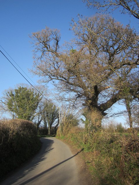
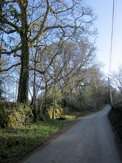
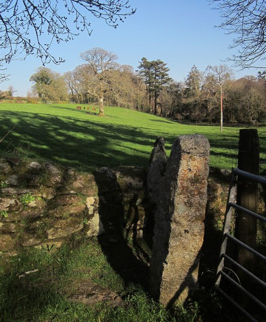
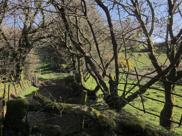
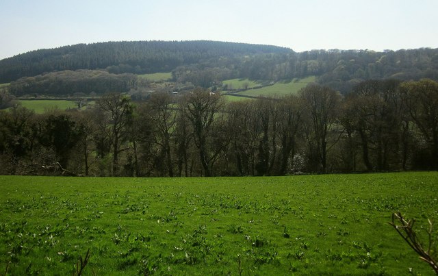
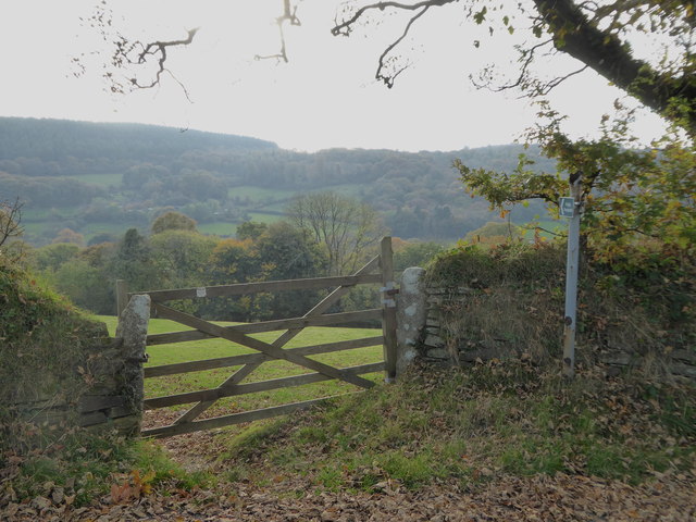
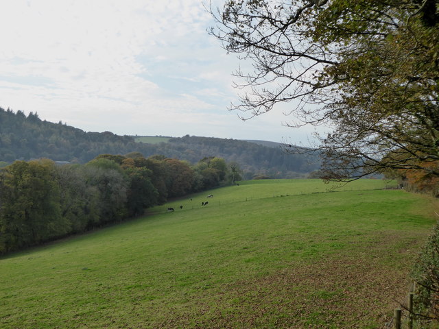
Castick Wood is a scenic woodland located in Cornwall, England. Situated in the southwestern part of the county, it covers an area of approximately 100 acres. The wood is known for its diverse range of flora and fauna, making it a popular destination for nature enthusiasts and hikers.
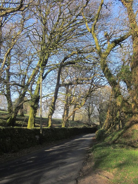
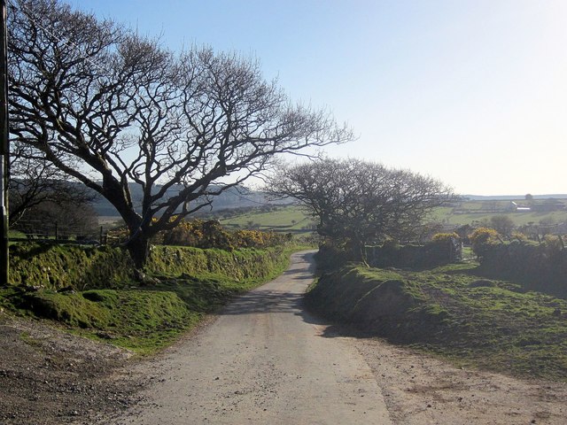
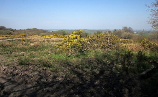
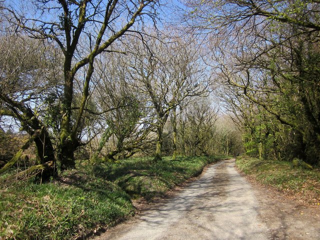
The woodland consists primarily of broadleaf trees such as oak, beech, and ash, which create a lush and vibrant canopy, especially during the summer months. The forest floor is carpeted with a variety of wildflowers, adding to the woodland's picturesque beauty.
Castick Wood is also home to a rich array of wildlife. Visitors may encounter various bird species, including song thrushes, woodpeckers, and tawny owls, as well as small mammals like squirrels and rabbits. The wood provides an important habitat for these creatures and offers a peaceful sanctuary away from the hustle and bustle of urban life.
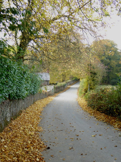
For those seeking outdoor activities, Castick Wood offers a network of well-maintained trails that wind through the forest. These paths provide an opportunity to explore the wood's natural wonders while enjoying a leisurely walk or a more challenging hike.
The woodland is open to the public year-round and is managed by a local conservation organization. The group works diligently to preserve the ecological integrity of Castick Wood, ensuring its continued beauty and accessibility for future generations to enjoy.
If you have any feedback on the listing, please let us know in the comments section below.
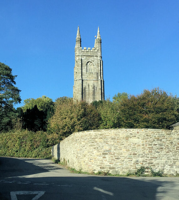
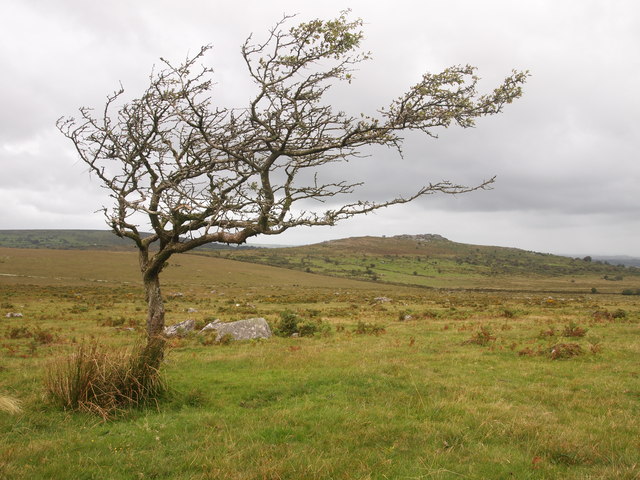
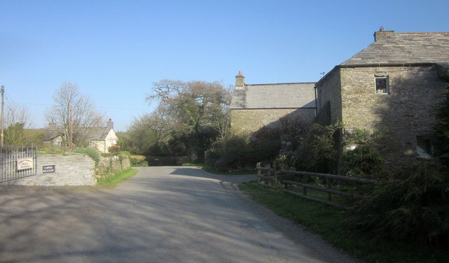
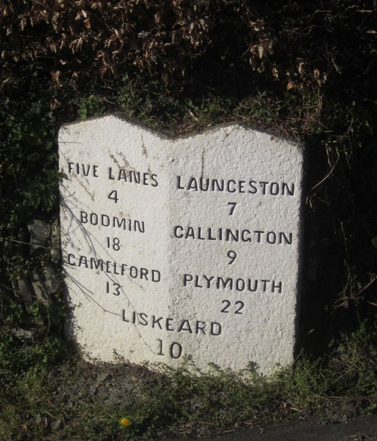
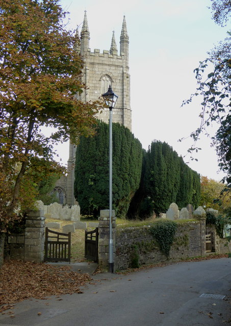
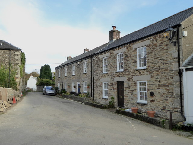
Castick Wood Images
Images are sourced within 2km of 50.568601/-4.4599929 or Grid Reference SX2577. Thanks to Geograph Open Source API. All images are credited.
Castick Wood is located at Grid Ref: SX2577 (Lat: 50.568601, Lng: -4.4599929)
Unitary Authority: Cornwall
Police Authority: Devon and Cornwall
What 3 Words
///evoked.media.newer. Near North Hill, Cornwall
Related Wikis
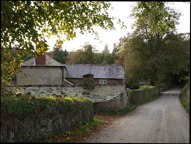
Trebartha
Trebartha is a hamlet in Cornwall, England, United Kingdom, in the parish of North Hill and in the valley of the River Lynher. == History == The manor...

North Hill, Cornwall
North Hill (Cornish: Bre Gledh) is a village and civil parish in Cornwall, England, United Kingdom. The village is situated on the east side of the River...

Trevadlock
Trevadlock is a hamlet south of Lewannick, Cornwall, United Kingdom. It includes a re-furbished old chapel, old schoolroom and semi-detached cottages....
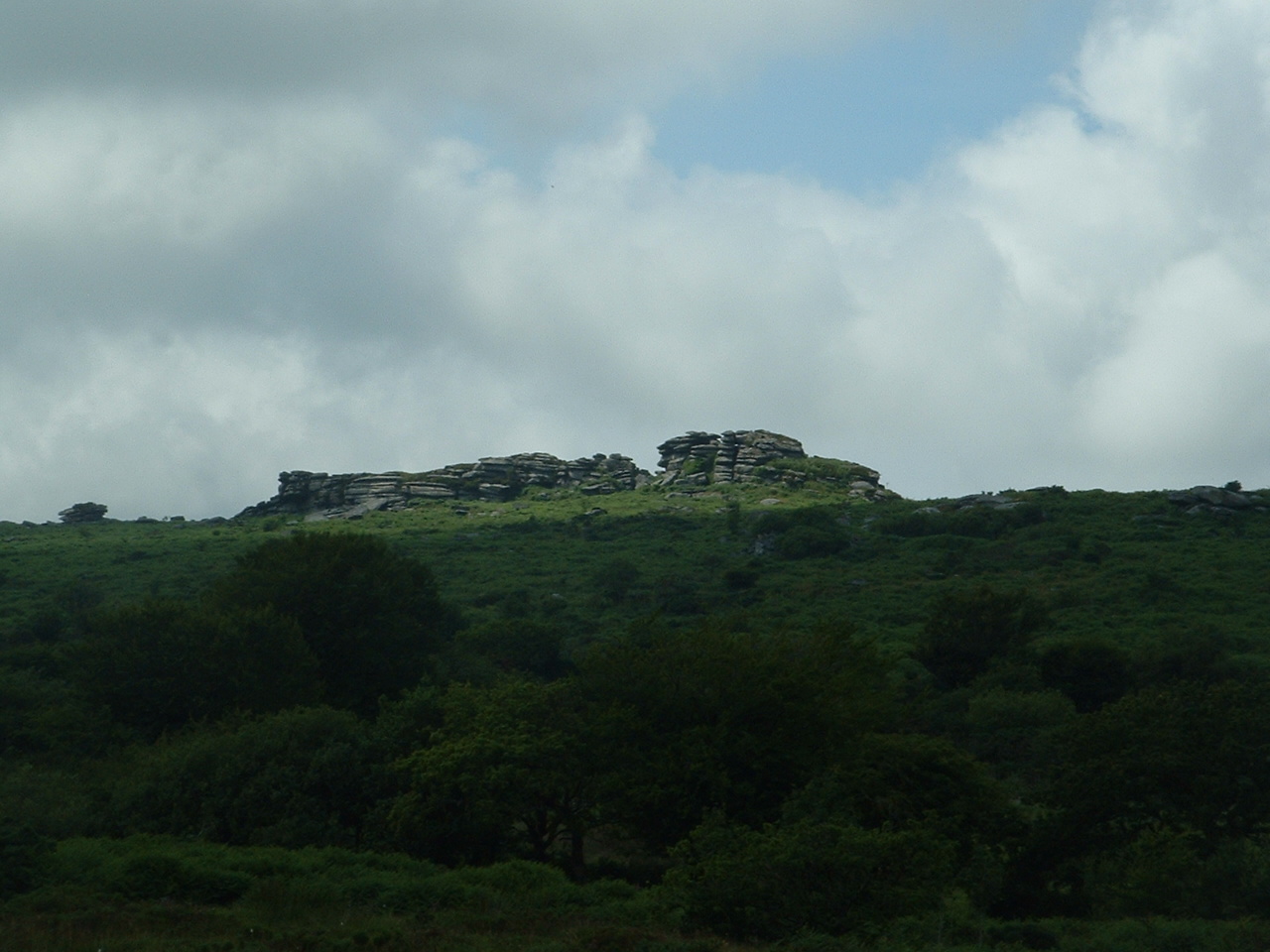
Hawk's Tor, North Hill
Hawk's Tor is an elongated hill, 329 metres (1,079 ft) high and running from WSW to ENE, on Bodmin Moor in the county of Cornwall, England, UK. It stands...
Nearby Amenities
Located within 500m of 50.568601,-4.4599929Have you been to Castick Wood?
Leave your review of Castick Wood below (or comments, questions and feedback).