Lemarne Mine Plantation

Wood, Forest in Cornwall

England

Lemarne Mine Plantation

St Torney's Church
St Torney's Church Credit: Paul Barnett

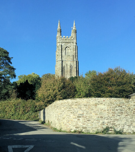
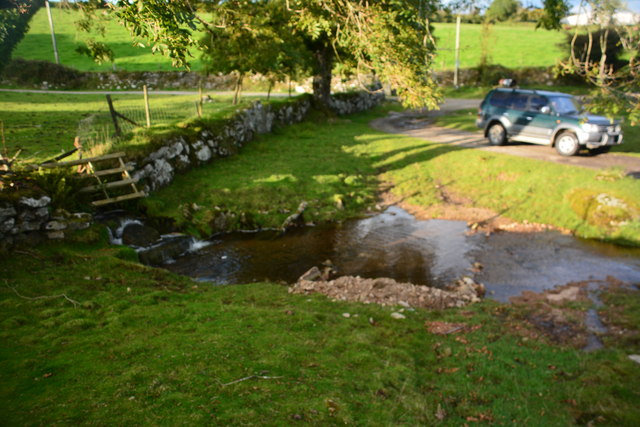
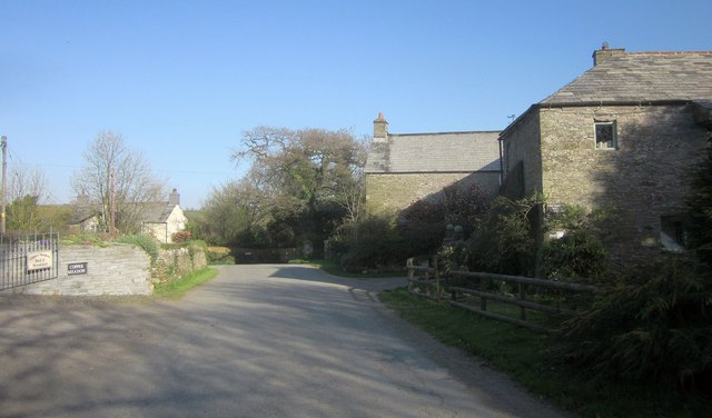
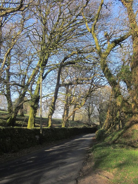
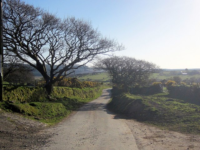
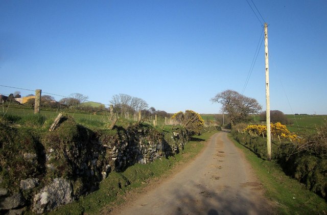
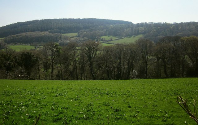
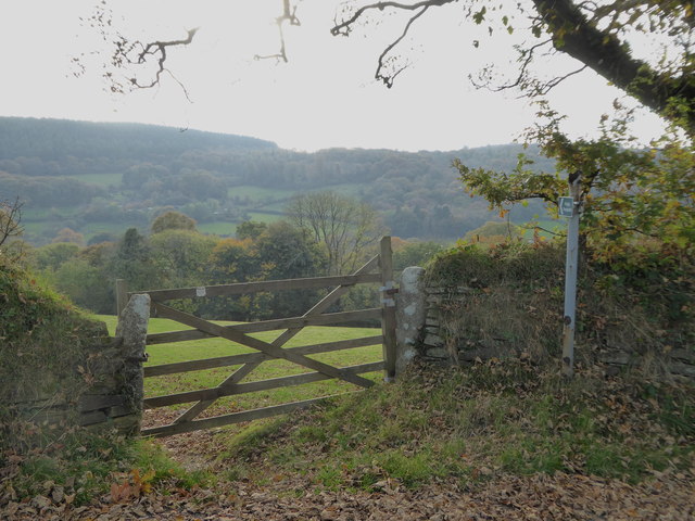
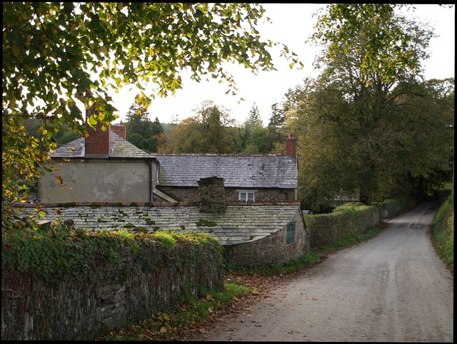
Lemarne Mine Plantation is a picturesque woodland located in Cornwall, England. Situated in the rural outskirts of the quaint village of Lemarne, this forested area spans over 100 acres and is known for its stunning natural beauty and rich history.

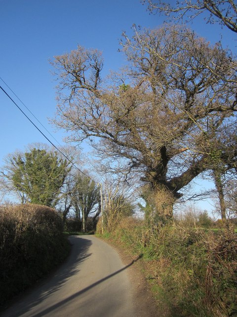
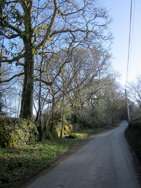
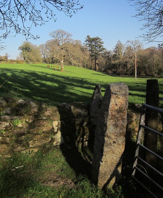
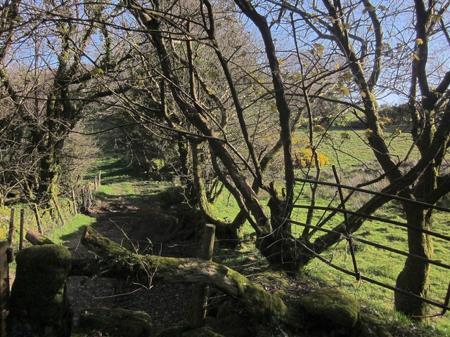
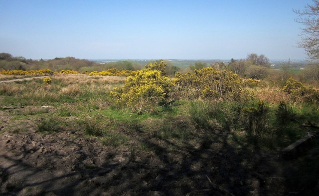
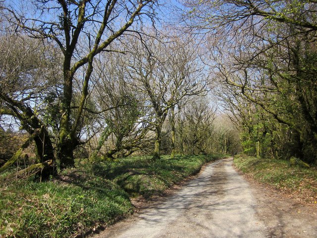
The woodland is primarily composed of various species of trees such as oak, beech, and birch, creating a diverse and vibrant ecosystem. The lush greenery provides a haven for a wide array of wildlife, including deer, squirrels, and a variety of bird species. The plantation is a popular destination for nature enthusiasts and birdwatchers looking to observe and appreciate the region's biodiversity.

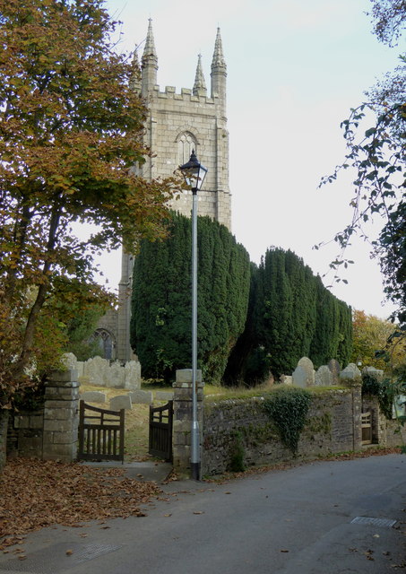
Lemarne Mine Plantation holds historical significance as well. In the 19th century, the area was utilized for mining activities, primarily extracting tin and copper. The remnants of the mining operations can still be seen today, with old mine shafts and abandoned structures scattered throughout the woodland. These remnants serve as a reminder of the region's industrial past and add a unique charm to the landscape.

The plantation offers several walking trails, allowing visitors to explore the woodland at their leisure. These trails are well-maintained, making them accessible to people of all ages and fitness levels. Additionally, the area is equipped with picnic spots and benches, providing the perfect opportunity for visitors to relax and enjoy a tranquil moment surrounded by nature.

Overall, Lemarne Mine Plantation is a hidden gem in Cornwall, offering visitors a chance to immerse themselves in the beauty of a well-preserved woodland while also exploring the remnants of its industrial history.

If you have any feedback on the listing, please let us know in the comments section below.

Lemarne Mine Plantation Images

Images are sourced within 2km of 50.572886/-4.4644676 or Grid Reference SX2577. Thanks to Geograph Open Source API. All images are credited.

St Torney's Church
St Torney's Church
Knighton Ford This ford is found on the River Lynher at Knighton. There are signs at the ford warning of electric fishing.
Knighton Ford
This ford is found on the River Lynher at Knighton. There are signs at the ford warning of electric fishing.
Ford at Tressellern This ford is found at Tressellern.
Ford at Tressellern
This ford is found at Tressellern.
Lane at Trevadlock Manor Approaching the junction at the hamlet's centre. The gable-ended building is the northern part of the L-shaped Trevadlock Manor <span class="nowrap"><a title="http://www.historicengland.org.uk/listing/the-list/list-entry/1249481" rel="nofollow ugc noopener" href="http://www.historicengland.org.uk/listing/the-list/list-entry/1249481">Link</a><img style="margin-left:2px;" alt="External link" title="External link - shift click to open in new window" src="https://s1.geograph.org.uk/img/external.png" width="10" height="10"/></span> .
Lane at Trevadlock Manor
Approaching the junction at the hamlet's centre. The gable-ended building is the northern part of the L-shaped Trevadlock Manor LinkExternal link .
Milestone, Trebartha This fine milestone is of "unusual design ... in the form of a double post with two triangular heads" <span class="nowrap"><a title="http://www.historicengland.org.uk/listing/the-list/list-entry/1250154" rel="nofollow ugc noopener" href="http://www.historicengland.org.uk/listing/the-list/list-entry/1250154">Link</a><img style="margin-left:2px;" alt="External link" title="External link - shift click to open in new window" src="https://s1.geograph.org.uk/img/external.png" width="10" height="10"/></span> . The description then confuses the places and their respective distances, but the milestone itself is impeccably clear. It is also visible in <a href="https://www.geograph.org.uk/photo/4431488">SX2677 : Crossroads, Trebartha</a>.
Milestone, Trebartha
This fine milestone is of "unusual design ... in the form of a double post with two triangular heads" LinkExternal link . The description then confuses the places and their respective distances, but the milestone itself is impeccably clear. It is also visible in SX2677 : Crossroads, Trebartha.
Lane at Stonaford An oak by a lane making a brief visit to this square.
Lane at Stonaford
An oak by a lane making a brief visit to this square.
Lane past Stonaford Stones Plantation A no through road onto Bodmin Moor, seen from the same spot as <a href="https://www.geograph.org.uk/photo/4431506">SX2577 : Lane past  Stonaford House</a>.
Lane past Stonaford Stones Plantation
A no through road onto Bodmin Moor, seen from the same spot as SX2577 : Lane past Stonaford House.
Gateposts, wall and field, Stonaford A short way into the field, well before the tree and cattle, the line of view crosses into <a href="https://www.geograph.org.uk/gridref/SX2577">SX2577</a>.
Gateposts, wall and field, Stonaford
A short way into the field, well before the tree and cattle, the line of view crosses into SX2577.
Track south-west of Stonaford A private track, obstructed in the foreground, leading from the no through lane from Tresellern to Lemarnedown Plantation.
Track south-west of Stonaford
A private track, obstructed in the foreground, leading from the no through lane from Tresellern to Lemarnedown Plantation.
Lane to Stonaford The no through lane from Tresellern, seen from the same spot as <a href="https://www.geograph.org.uk/photo/4701747">SX2577 : Track south-west of Stonaford</a>, running through trees that form a western extension of Old Plantation.
Lane to Stonaford
The no through lane from Tresellern, seen from the same spot as SX2577 : Track south-west of Stonaford, running through trees that form a western extension of Old Plantation.
Lane to Tresellern The no through lane to Tresellern descends towards the stream shown in <a href="https://www.geograph.org.uk/photo/4431602">SX2377 : Stream by Industry</a>, where it ends as a public road.
Lane to Tresellern
The no through lane to Tresellern descends towards the stream shown in SX2377 : Stream by Industry, where it ends as a public road.
Lane from Tresellern The no through lane from Tresellern, with a Cornish hedge on the left, and possibly the right too.
Lane from Tresellern
The no through lane from Tresellern, with a Cornish hedge on the left, and possibly the right too.
Gorse above East Castick Wood Seen from beside the lane to Twelve Men's Moor.
Gorse above East Castick Wood
Seen from beside the lane to Twelve Men's Moor.
Lane to Berriowbridge Skirting Bowdanoddon Wood on the right, this is the no through road from Twelve Men's Moor.
Lane to Berriowbridge
Skirting Bowdanoddon Wood on the right, this is the no through road from Twelve Men's Moor.
Across the Lynher valley From the same spot as <a href="https://www.geograph.org.uk/photo/4449140">SX2676 : Lynher valley near North Hill</a>, looking to the right, with overlap. The farm on the far slopes is East Castick. Again, Bowdanoddon Wood is on the horizon.
Across the Lynher valley
From the same spot as SX2676 : Lynher valley near North Hill, looking to the right, with overlap. The farm on the far slopes is East Castick. Again, Bowdanoddon Wood is on the horizon.
The tower of the Church of St Torney, North Hill Largely late C15 or early C16 and with some C14 internal details.  Grade I Listed.
The tower of the Church of St Torney, North Hill
Largely late C15 or early C16 and with some C14 internal details. Grade I Listed.
Cottages in North Hill Dating from early C19, all three cottages are Grade II Listed.
Cottages in North Hill
Dating from early C19, all three cottages are Grade II Listed.
Field gate in Lynher Way The public footpath leads down into the Lynher valley.
Field gate in Lynher Way
The public footpath leads down into the Lynher valley.
Show me another place!

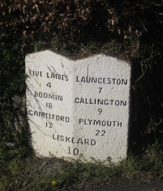
Lemarne Mine Plantation is located at Grid Ref: SX2577 (Lat: 50.572886, Lng: -4.4644676)

Unitary Authority: Cornwall

Police Authority: Devon and Cornwall

What 3 Words

///noting.lush.shrugging. Near North Hill, Cornwall

Related Wikis

Trebartha

Trebartha is a hamlet in Cornwall, England, United Kingdom, in the parish of North Hill and in the valley of the River Lynher. == History == The manor...

Trevadlock

Trevadlock is a hamlet south of Lewannick, Cornwall, United Kingdom. It includes a re-furbished old chapel, old schoolroom and semi-detached cottages....

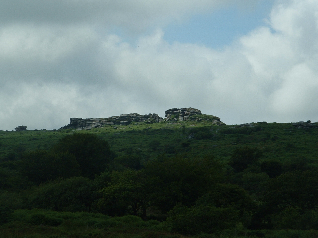
Hawk's Tor, North Hill

Hawk's Tor is an elongated hill, 329 metres (1,079 ft) high and running from WSW to ENE, on Bodmin Moor in the county of Cornwall, England, UK. It stands...

North Hill, Cornwall

North Hill (Cornish: Bre Gledh) is a village and civil parish in Cornwall, England, United Kingdom. The village is situated on the east side of the River...

Have you been to Lemarne Mine Plantation?

Leave your review of Lemarne Mine Plantation below (or comments, questions and feedback).