Waterhead Moor
Downs, Moorland in Ayrshire
Scotland
Waterhead Moor

Waterhead Moor is a picturesque expanse of moorland located in Ayrshire, Scotland. Spanning over 500 acres, the moor is characterized by rolling hills, heather-covered terrain, and scattered patches of woodland. The landscape is dotted with small streams and ponds, providing a habitat for a variety of wildlife including birds, insects, and small mammals.
The moorland is a popular destination for outdoor enthusiasts, offering opportunities for hiking, birdwatching, and photography. The gentle slopes and well-maintained paths make it accessible for walkers of all abilities, with stunning views of the surrounding countryside and coastline.
Waterhead Moor is also rich in history, with evidence of prehistoric settlements and ancient burial sites scattered throughout the area. Visitors can explore these archaeological sites while taking in the natural beauty of the moor.
Overall, Waterhead Moor is a peaceful and tranquil location, perfect for those looking to escape the hustle and bustle of urban life and immerse themselves in the beauty of the Scottish countryside.
If you have any feedback on the listing, please let us know in the comments section below.
Waterhead Moor Images
Images are sourced within 2km of 55.822724/-4.780161 or Grid Reference NS2562. Thanks to Geograph Open Source API. All images are credited.


Waterhead Moor is located at Grid Ref: NS2562 (Lat: 55.822724, Lng: -4.780161)
Unitary Authority: North Ayrshire
Police Authority: Ayrshire
What 3 Words
///shatters.move.beside. Near Largs, North Ayrshire
Nearby Locations
Related Wikis

Hill of Stake
Hill of Stake is a hill on the boundary between North Ayrshire and Renfrewshire, Scotland. == Geography == The hill is 522 metres (1,713 feet) high and...

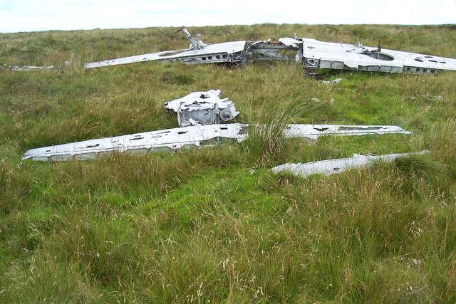
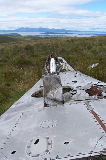
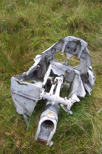
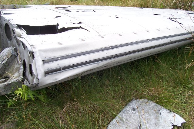
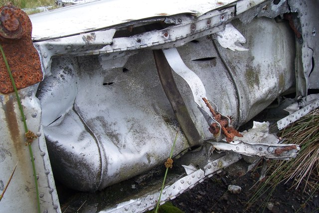
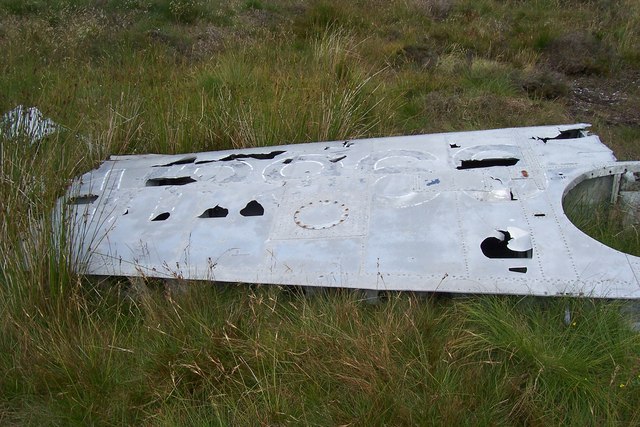
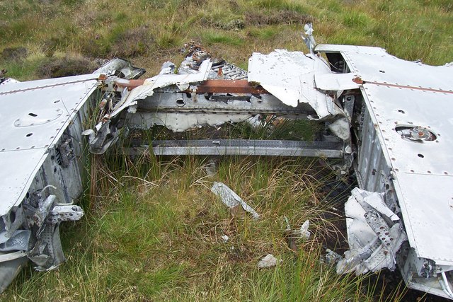
British European Airways Flight S200P
British European Airways Flight S200P was a short-haul flight from London-Northolt Airport to Glasgow-Renfrew Airport, Scotland. On 21 April 1948, while...
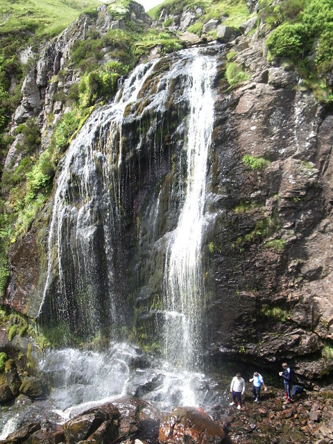
Spout of Garnock
The Spout of Garnock (or Garnock Spout) is a waterfall in Ayrshire, Scotland. At approximately 60–70 ft high, it is the county's highest waterfall. It...

Irish Law (mountain)
Irish Law is a mountain located in North Ayrshire, Scotland near the town of Largs. It has an elevation of 484 metres (1,588 ft) and a prominence of 80...
Nearby Amenities
Located within 500m of 55.822724,-4.780161Have you been to Waterhead Moor?
Leave your review of Waterhead Moor below (or comments, questions and feedback).