Lemarnedown Plantation

Wood, Forest in Cornwall

England

Lemarnedown Plantation

St Torney's Church
St Torney's Church Credit: Paul Barnett

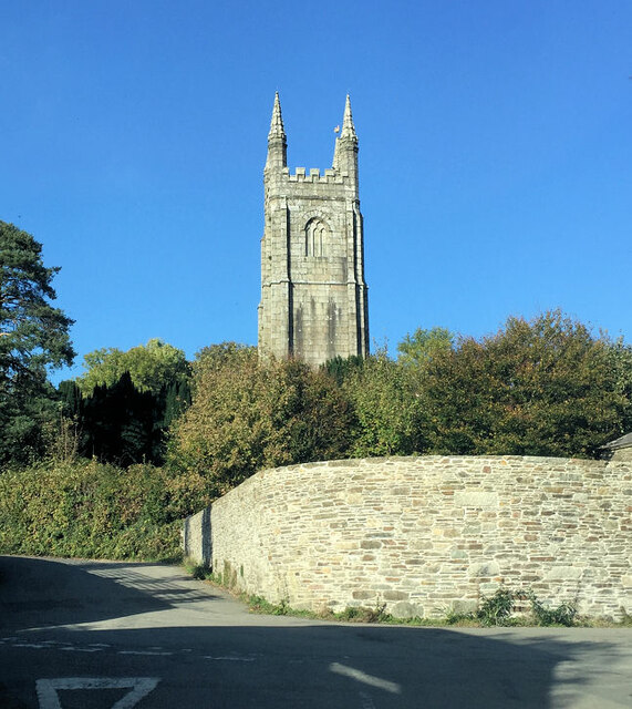
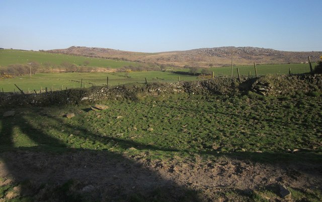
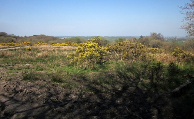
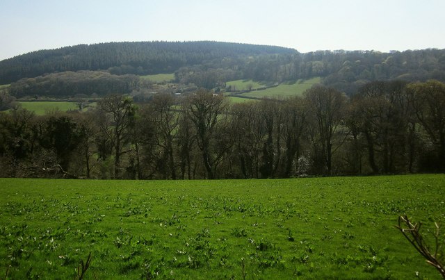
Lemarnedown Plantation, located in Cornwall, is a picturesque woodland area renowned for its natural beauty and diverse flora and fauna. Stretching across a vast expanse, the plantation is nestled within the scenic countryside of southwestern England, making it a popular destination for nature enthusiasts and outdoor enthusiasts alike.

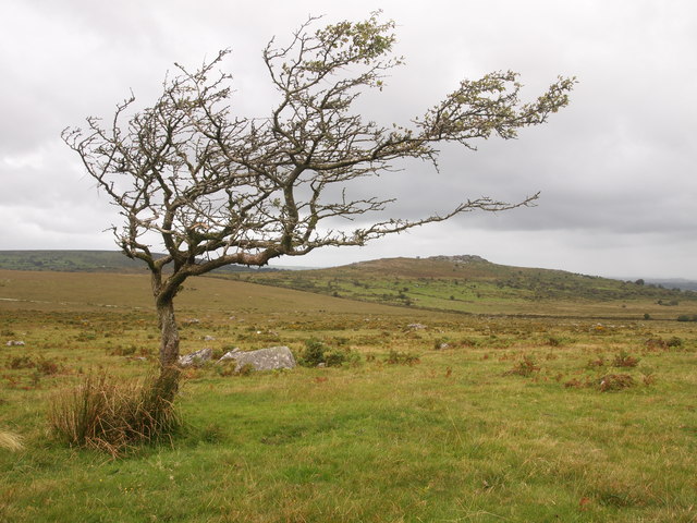
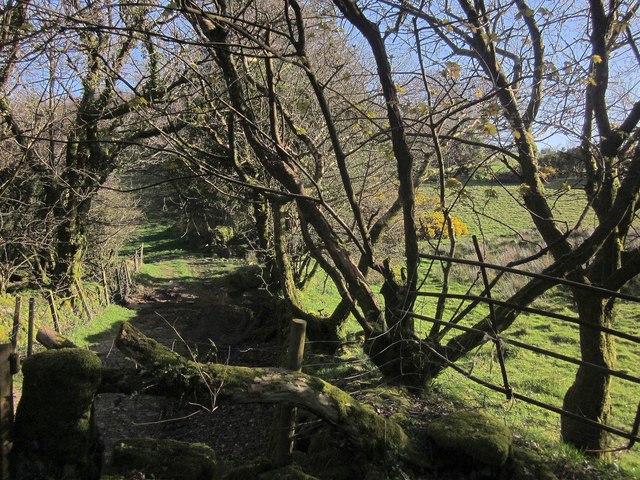
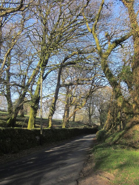
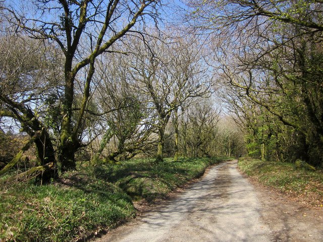
The woodland area is predominantly composed of mixed deciduous trees, such as oak, beech, and ash, which create a lush and vibrant canopy during the warmer months. These trees provide a habitat for a wide range of wildlife, including various species of birds, mammals, and insects.

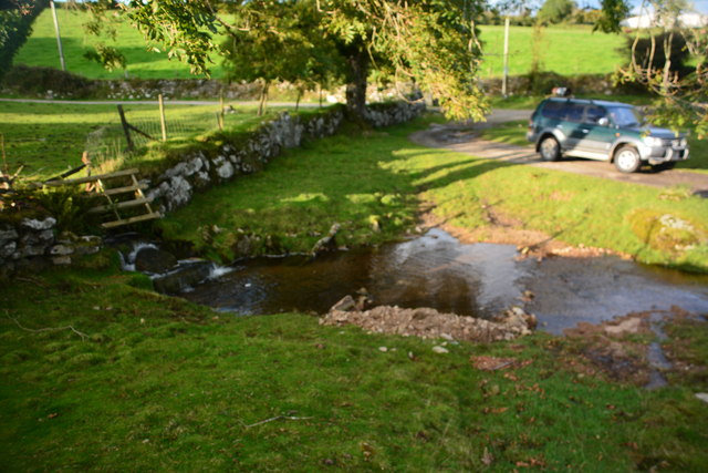
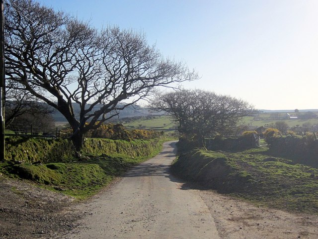
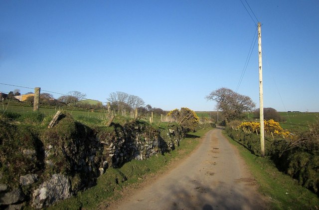
Visitors to Lemarnedown Plantation can enjoy a variety of outdoor activities, including hiking, cycling, and picnicking. The plantation boasts a network of well-maintained trails that wind through the woodland, allowing visitors to explore its natural wonders at their own pace. Along these trails, one can stumble upon charming hidden clearings, babbling brooks, and enchanting wildflower meadows.

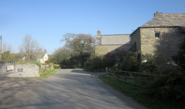
Furthermore, Lemarnedown Plantation is known for its rich history. It was once part of an ancient estate and has been carefully managed and preserved over the years. The plantation has witnessed centuries of human activity, leaving behind remnants of old stone walls, abandoned cottages, and even archaeological sites of historical significance.

In conclusion, Lemarnedown Plantation in Cornwall is a captivating woodland area that offers a tranquil escape into nature. With its diverse ecosystem, scenic trails, and rich history, it provides a delightful experience for anyone seeking solace in the beauty of the natural world.

If you have any feedback on the listing, please let us know in the comments section below.

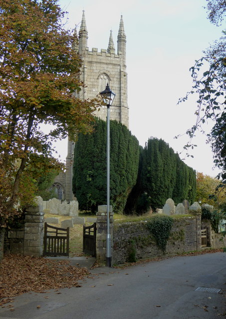
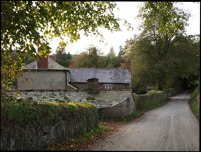
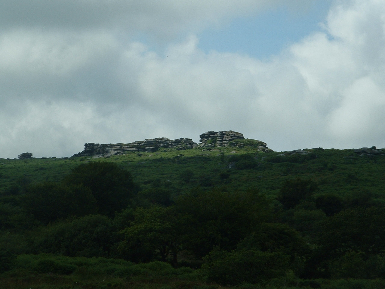
Lemarnedown Plantation Images

Images are sourced within 2km of 50.56948/-4.4664929 or Grid Reference SX2577. Thanks to Geograph Open Source API. All images are credited.

St Torney's Church
St Torney's Church
Twelve Men's Moor
Twelve Men's Moor
Ford at Tressellern This ford is found at Tressellern.
Ford at Tressellern
This ford is found at Tressellern.
Lane at Trevadlock Manor Approaching the junction at the hamlet's centre. The gable-ended building is the northern part of the L-shaped Trevadlock Manor <span class="nowrap"><a title="http://www.historicengland.org.uk/listing/the-list/list-entry/1249481" rel="nofollow ugc noopener" href="http://www.historicengland.org.uk/listing/the-list/list-entry/1249481">Link</a><img style="margin-left:2px;" alt="External link" title="External link - shift click to open in new window" src="https://s1.geograph.org.uk/img/external.png" width="10" height="10"/></span> .
Lane at Trevadlock Manor
Approaching the junction at the hamlet's centre. The gable-ended building is the northern part of the L-shaped Trevadlock Manor LinkExternal link .
Milestone, Trebartha This fine milestone is of "unusual design ... in the form of a double post with two triangular heads" <span class="nowrap"><a title="http://www.historicengland.org.uk/listing/the-list/list-entry/1250154" rel="nofollow ugc noopener" href="http://www.historicengland.org.uk/listing/the-list/list-entry/1250154">Link</a><img style="margin-left:2px;" alt="External link" title="External link - shift click to open in new window" src="https://s1.geograph.org.uk/img/external.png" width="10" height="10"/></span> . The description then confuses the places and their respective distances, but the milestone itself is impeccably clear. It is also visible in <a href="https://www.geograph.org.uk/photo/4431488">SX2677 : Crossroads, Trebartha</a>.
Milestone, Trebartha
This fine milestone is of "unusual design ... in the form of a double post with two triangular heads" LinkExternal link . The description then confuses the places and their respective distances, but the milestone itself is impeccably clear. It is also visible in SX2677 : Crossroads, Trebartha.
Lane at Stonaford An oak by a lane making a brief visit to this square.
Lane at Stonaford
An oak by a lane making a brief visit to this square.
Lane past Stonaford Stones Plantation A no through road onto Bodmin Moor, seen from the same spot as <a href="https://www.geograph.org.uk/photo/4431506">SX2577 : Lane past  Stonaford House</a>.
Lane past Stonaford Stones Plantation
A no through road onto Bodmin Moor, seen from the same spot as SX2577 : Lane past Stonaford House.
Gateposts, wall and field, Stonaford A short way into the field, well before the tree and cattle, the line of view crosses into <a href="https://www.geograph.org.uk/gridref/SX2577">SX2577</a>.
Gateposts, wall and field, Stonaford
A short way into the field, well before the tree and cattle, the line of view crosses into SX2577.
Track south-west of Stonaford A private track, obstructed in the foreground, leading from the no through lane from Tresellern to Lemarnedown Plantation.
Track south-west of Stonaford
A private track, obstructed in the foreground, leading from the no through lane from Tresellern to Lemarnedown Plantation.
Lane to Stonaford The no through lane from Tresellern, seen from the same spot as <a href="https://www.geograph.org.uk/photo/4701747">SX2577 : Track south-west of Stonaford</a>, running through trees that form a western extension of Old Plantation.
Lane to Stonaford
The no through lane from Tresellern, seen from the same spot as SX2577 : Track south-west of Stonaford, running through trees that form a western extension of Old Plantation.
Lane to Tresellern The no through lane to Tresellern descends towards the stream shown in <a href="https://www.geograph.org.uk/photo/4431602">SX2377 : Stream by Industry</a>, where it ends as a public road.
Lane to Tresellern
The no through lane to Tresellern descends towards the stream shown in SX2377 : Stream by Industry, where it ends as a public road.
Lane from Tresellern The no through lane from Tresellern, with a Cornish hedge on the left, and possibly the right too.
Lane from Tresellern
The no through lane from Tresellern, with a Cornish hedge on the left, and possibly the right too.
View near Tresellern A wider angle version of the scene in <a href="https://www.geograph.org.uk/photo/4431620">SX2376 : View near Tresellern</a>, showing the wide drove-like nature of the route in the foreground, well over 20 metres in width, of which only 5 metres are occupied by the track.
View near Tresellern
A wider angle version of the scene in SX2376 : View near Tresellern, showing the wide drove-like nature of the route in the foreground, well over 20 metres in width, of which only 5 metres are occupied by the track.
Track past Tresellern Climbing from the ford near Industry <a href="https://www.geograph.org.uk/photo/4431602">SX2377 : Stream by Industry</a> and about to pass the buildings at Tresellern, the track is followed by footpath 528 1/1 onto the East Moor. This illustrates the width between walls commented on at <a href="https://www.geograph.org.uk/photo/4701859">SX2376 : View near Tresellern</a>.
Track past Tresellern
Climbing from the ford near Industry SX2377 : Stream by Industry and about to pass the buildings at Tresellern, the track is followed by footpath 528 1/1 onto the East Moor. This illustrates the width between walls commented on at SX2376 : View near Tresellern.
Gorse above East Castick Wood Seen from beside the lane to Twelve Men's Moor.
Gorse above East Castick Wood
Seen from beside the lane to Twelve Men's Moor.
Lane to Berriowbridge Skirting Bowdanoddon Wood on the right, this is the no through road from Twelve Men's Moor.
Lane to Berriowbridge
Skirting Bowdanoddon Wood on the right, this is the no through road from Twelve Men's Moor.
Across the Lynher valley From the same spot as <a href="https://www.geograph.org.uk/photo/4449140">SX2676 : Lynher valley near North Hill</a>, looking to the right, with overlap. The farm on the far slopes is East Castick. Again, Bowdanoddon Wood is on the horizon.
Across the Lynher valley
From the same spot as SX2676 : Lynher valley near North Hill, looking to the right, with overlap. The farm on the far slopes is East Castick. Again, Bowdanoddon Wood is on the horizon.
The tower of the Church of St Torney, North Hill Largely late C15 or early C16 and with some C14 internal details.  Grade I Listed.
The tower of the Church of St Torney, North Hill
Largely late C15 or early C16 and with some C14 internal details. Grade I Listed.
Show me another place!

Lemarnedown Plantation is located at Grid Ref: SX2577 (Lat: 50.56948, Lng: -4.4664929)

Unitary Authority: Cornwall

Police Authority: Devon and Cornwall

What 3 Words

///steaming.loosed.peroxide. Near North Hill, Cornwall

Related Wikis

Trebartha

Trebartha is a hamlet in Cornwall, England, United Kingdom, in the parish of North Hill and in the valley of the River Lynher. == History == The manor...

Hawk's Tor, North Hill

Hawk's Tor is an elongated hill, 329 metres (1,079 ft) high and running from WSW to ENE, on Bodmin Moor in the county of Cornwall, England, UK. It stands...

Trevadlock

Trevadlock is a hamlet south of Lewannick, Cornwall, United Kingdom. It includes a re-furbished old chapel, old schoolroom and semi-detached cottages....

North Hill, Cornwall

North Hill (Cornish: Bre Gledh) is a village and civil parish in Cornwall, England, United Kingdom. The village is situated on the east side of the River...

Have you been to Lemarnedown Plantation?

Leave your review of Lemarnedown Plantation below (or comments, questions and feedback).