Tregeare Down

Downs, Moorland in Cornwall

England

Tregeare Down

An uprooted and moved Tregearedown Triangulation Pillar This once stood on Tregearedown Beacon (SX 25071 86823) but has been uprooted and moved into the corner of the field almost 200 yards south-westward next to a new communications mast compound.
An uprooted and moved Tregearedown Triangulation Pillar Credit: Peter Wood

Tregeare Down is a picturesque area located in Cornwall, England. It is situated in the northwestern part of the county, near the village of Warbstow. Tregeare Down is characterized by its stunning landscape, which primarily consists of downs and moorland.

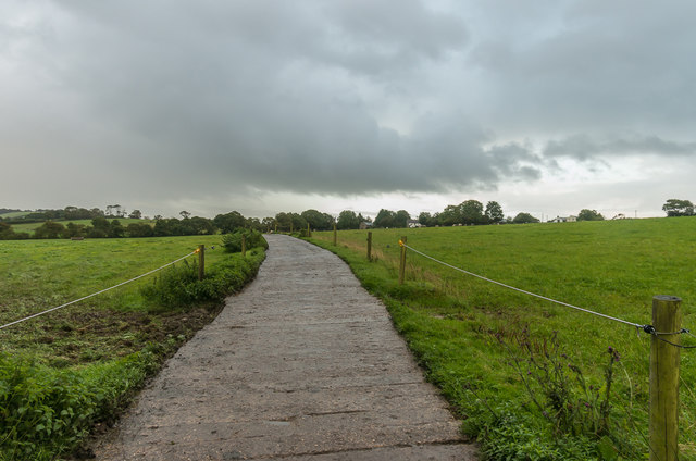
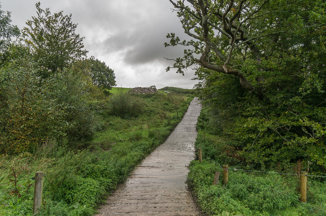
Covering an expansive area of approximately 3.5 square kilometers, Tregeare Down offers breathtaking views of rolling hills, open fields, and rugged terrain. The downs, with their gently sloping hills, are covered in lush grasses and scattered with wildflowers during the spring and summer months. The moorland, on the other hand, presents a more rugged and wild landscape, with its rocky outcrops, heather, and gorse.

The area is rich in biodiversity, hosting a variety of plant and animal species. Visitors to Tregeare Down may encounter rare bird species, such as the skylark and the stonechat. The moorland is also home to several species of reptiles and small mammals.

Tregeare Down offers numerous opportunities for outdoor activities and exploration. Hiking and walking trails crisscross the area, allowing visitors to immerse themselves in the natural beauty of the downs and moorland. The open fields provide an ideal setting for picnics, while the more adventurous can try their hand at orienteering or nature photography.

Overall, Tregeare Down is a stunning and tranquil location that showcases the natural beauty of Cornwall. It is a haven for nature enthusiasts and those seeking a peaceful retreat amidst the scenic countryside.

If you have any feedback on the listing, please let us know in the comments section below.

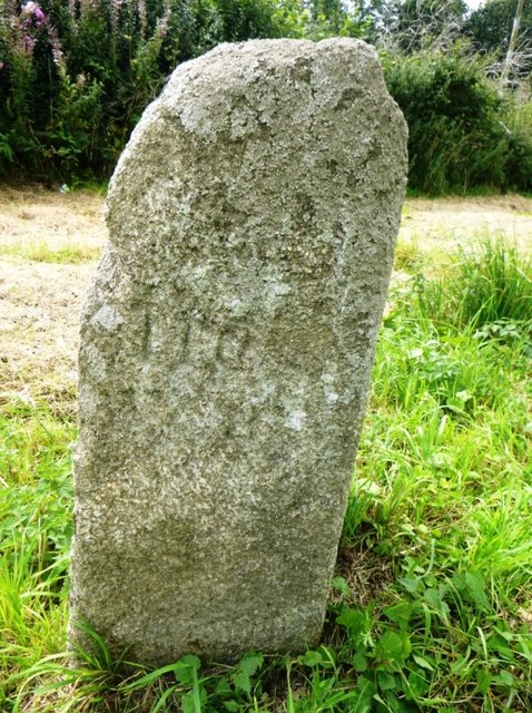
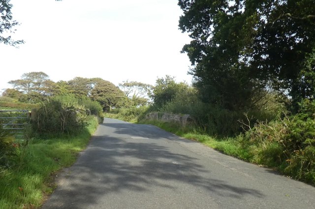
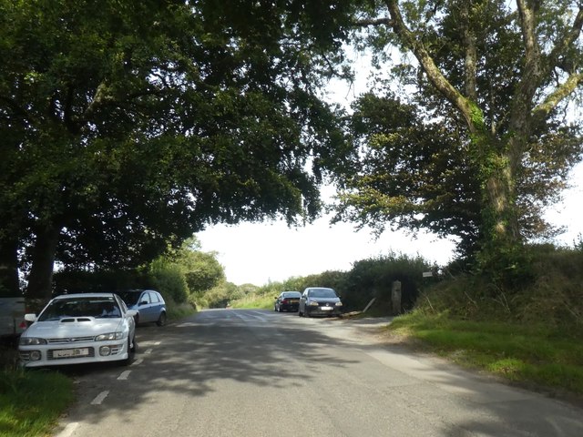
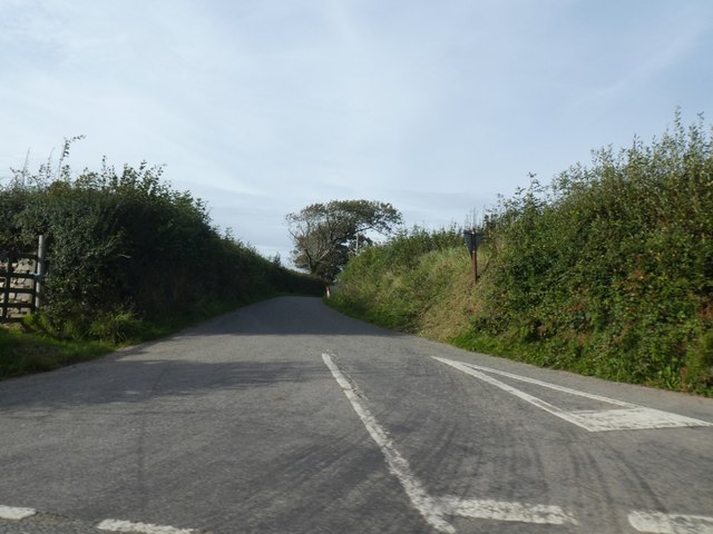
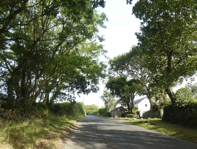
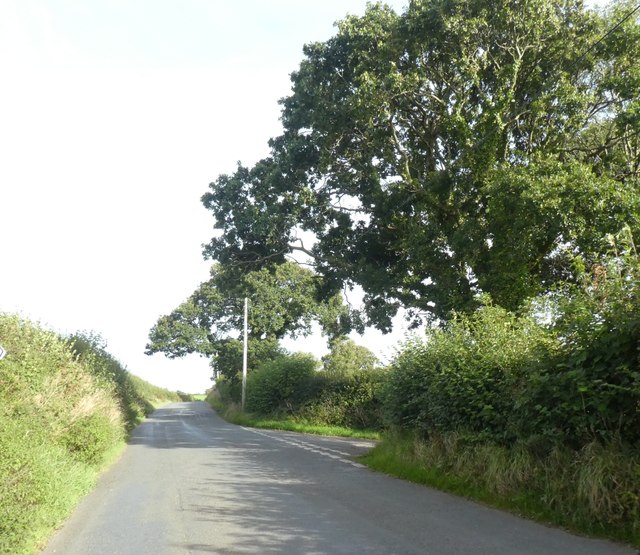
Tregeare Down Images

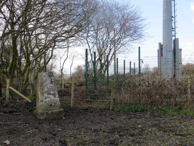
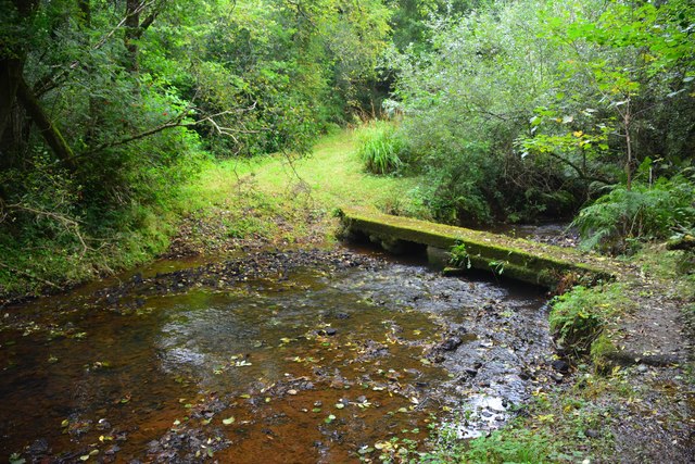
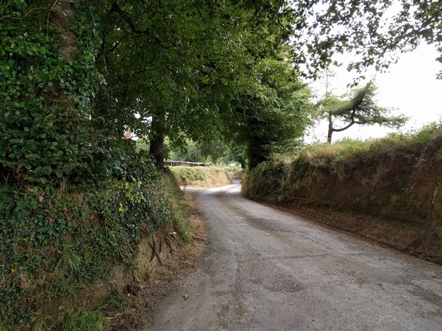
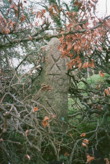
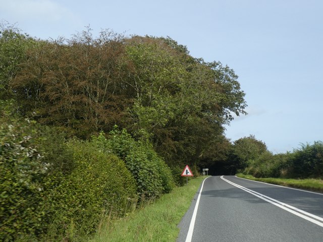
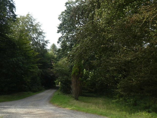
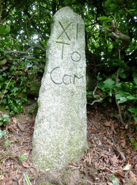
Images are sourced within 2km of 50.64947/-4.4722945 or Grid Reference SX2586. Thanks to Geograph Open Source API. All images are credited.

An uprooted and moved Tregearedown Triangulation Pillar This once stood on Tregearedown Beacon (SX 25071 86823) but has been uprooted and moved into the corner of the field almost 200 yards south-westward next to a new communications mast compound.
An uprooted and moved Tregearedown Triangulation Pillar
This once stood on Tregearedown Beacon (SX 25071 86823) but has been uprooted and moved into the corner of the field almost 200 yards south-westward next to a new communications mast compound.
Badharlick Ford This ford on the Amry River is found along the byway at Badharlick.
Badharlick Ford
This ford on the Amry River is found along the byway at Badharlick.
Under Lane, heading for Launceston
Towards Egloskerry Concrete track across pastureland north of Egloskerry.
Towards Egloskerry
Concrete track across pastureland north of Egloskerry.
Track over stream Concrete track crossing a small unnamed stream north of Egloskerry.
Track over stream
Concrete track crossing a small unnamed stream north of Egloskerry.
Old Milestone east of Badharlick Carved stone post by the UC road, in parish of EGLOSKERRY (CARADON District), above Badharlick Mill, on top of hedge bank, on South side of road. Rough granite, erected by the parish in the 21st century. 

Inscription reads:-
XI
To
Cam   

Milestone Society National ID: CW_LACF06R
Old Milestone east of Badharlick
Carved stone post by the UC road, in parish of EGLOSKERRY (CARADON District), above Badharlick Mill, on top of hedge bank, on South side of road. Rough granite, erected by the parish in the 21st century. Inscription reads:- XI To Cam Milestone Society National ID: CW_LACF06R
Old Bridge Marker by Badharlick Bridge, Egloskerry Bridge Marker in the parish of Egloskerry (North Cornwall District), South of Badharlick Bridge, at junction of Badharlick Road and Pipers Pool Road.

Surveyed

Milestone Society National ID: CW_EGLbr.
Old Bridge Marker by Badharlick Bridge, Egloskerry
Bridge Marker in the parish of Egloskerry (North Cornwall District), South of Badharlick Bridge, at junction of Badharlick Road and Pipers Pool Road. Surveyed Milestone Society National ID: CW_EGLbr.
Old Milestone by the A395, Coombegate, Laneast Parish Launceston pillar by the A395, in parish of Laneast (North Cornwall District), Coombegate, West of Pipers Pool, one of two stones 300m apart.

Inscription reads:-
L
6
Carved bench mark on West face. 

Stolen in 2011

Grade II listed. List Entry Number: 1142754
<span class="nowrap"><a title="https://historicengland.org.uk/listing/the-list/list-entry/1142754" rel="nofollow ugc noopener" href="https://historicengland.org.uk/listing/the-list/list-entry/1142754">Link</a><img style="margin-left:2px;" alt="External link" title="External link - shift click to open in new window" src="https://s1.geograph.org.uk/img/external.png" width="10" height="10"/></span>

Milestone Society National ID: CW_LACF06
Old Milestone by the A395, Coombegate, Laneast Parish
Launceston pillar by the A395, in parish of Laneast (North Cornwall District), Coombegate, West of Pipers Pool, one of two stones 300m apart. Inscription reads:- L 6 Carved bench mark on West face. Stolen in 2011 Grade II listed. List Entry Number: 1142754 LinkExternal link Milestone Society National ID: CW_LACF06
Old Milestone west of Badharlick Mill, Egloskerry Parish Milestone in parish of Egloskerry (Caradon District), West of Badharlick Mill, South side of road, on top of hedge, hidden by summer growth.

Cornwall & Scilly HER.
HER Number: MCO55425 <span class="nowrap"><a title="https://www.heritagegateway.org.uk/Gateway/Results_Single.aspx?uid=MCO55425&resourceID=1020" rel="nofollow ugc noopener" href="https://www.heritagegateway.org.uk/Gateway/Results_Single.aspx?uid=MCO55425&resourceID=1020">Link</a><img style="margin-left:2px;" alt="External link" title="External link - shift click to open in new window" src="https://s1.geograph.org.uk/img/external.png" width="10" height="10"/></span>

Lost since 2010 and replaced with a facsimile:  <a title="https://www.geograph.org.uk/photo/6390950" href="https://www.geograph.org.uk/photo/6390950">Link</a>

Milestone Society National ID: CW_LACF06A
Old Milestone west of Badharlick Mill, Egloskerry Parish
Milestone in parish of Egloskerry (Caradon District), West of Badharlick Mill, South side of road, on top of hedge, hidden by summer growth. Cornwall & Scilly HER. HER Number: MCO55425 LinkExternal link Lost since 2010 and replaced with a facsimile: Link Milestone Society National ID: CW_LACF06A
Lodge Plantation by A395
Track through Lodge Plantation
Replica Milestone by the A39, east of Badharlick Carved stone post by the A39, in parish of EGLOSKERRY (CARADON District), above Badharlick Mill, on top of hedge bank, on South side of road. Rough granite - a facsimile erected by the parish in the 21st century to replace a 'lost' old stone: <a title="https://www.geograph.org.uk/photo/6043688" href="https://www.geograph.org.uk/photo/6043688">Link</a>

Inscription reads:-
XI
To
Cam

Cornwall & Scilly HER. 
HER Number: MCO56434 <span class="nowrap"><a title="https://www.heritagegateway.org.uk/Gateway/Results_Single.aspx?uid=MCO56434&resourceID=1020" rel="nofollow ugc noopener" href="https://www.heritagegateway.org.uk/Gateway/Results_Single.aspx?uid=MCO56434&resourceID=1020">Link</a><img style="margin-left:2px;" alt="External link" title="External link - shift click to open in new window" src="https://s1.geograph.org.uk/img/external.png" width="10" height="10"/></span> 

Milestone Society National ID: CW_CFWB11R.
Replica Milestone by the A39, east of Badharlick
Carved stone post by the A39, in parish of EGLOSKERRY (CARADON District), above Badharlick Mill, on top of hedge bank, on South side of road. Rough granite - a facsimile erected by the parish in the 21st century to replace a 'lost' old stone: Link Inscription reads:- XI To Cam Cornwall & Scilly HER. HER Number: MCO56434 LinkExternal link Milestone Society National ID: CW_CFWB11R.
Old Boundary Marker Parish Boundary Marker, one of two stones 300 metres apart on the south side of the A395 to the east of Coombegate entrance. LANEAST parish.

Milestone Society National ID: CW_LACF03pb
Old Boundary Marker
Parish Boundary Marker, one of two stones 300 metres apart on the south side of the A395 to the east of Coombegate entrance. LANEAST parish. Milestone Society National ID: CW_LACF03pb
Former railway bridge on Tremeer road Bridge over the former North Cornwall Railway; in an overgrown cutting under the road
Former railway bridge on Tremeer road
Bridge over the former North Cornwall Railway; in an overgrown cutting under the road
Cars parked at Trehummer Cars parked on the minor road at Trehummer Lodge, where a track leads to a small business
Cars parked at Trehummer
Cars parked on the minor road at Trehummer Lodge, where a track leads to a small business
Road to Treburtle
Road to Treburtle
Houses at Tor Wood The Victorian OS map labels this group as Tor Cottages
Houses at Tor Wood
The Victorian OS map labels this group as Tor Cottages
Road junction for Treburrow
Show me another place!

Tregeare Down is located at Grid Ref: SX2586 (Lat: 50.64947, Lng: -4.4722945)

Unitary Authority: Cornwall

Police Authority: Devon and Cornwall

What 3 Words

///flash.entitle.slouched. Near Trewen, Cornwall

Related Wikis

Trebeath

Trebeath is a hamlet in the parish of Egloskerry, Cornwall, England, United Kingdom. == References == == External links == Media related to Trebeath at...

Badgall

Badgall (Cornish: Bos Galla, meaning Calla's dwelling) is a hamlet in the parish of Laneast, Cornwall, England, United Kingdom. It is situated 6 miles...

Egloskerry

Egloskerry (Cornish: Egloskeri) is a village and civil parish in east Cornwall, England, United Kingdom. It is situated approximately five miles (8.0 km...

Badharlick

Badharlick (Cornish: Bos Harlek, meaning Harlek's dwelling) is a hamlet in the parish of Egloskerry, Cornwall, England, United Kingdom, situated halfway...

Have you been to Tregeare Down?

Leave your review of Tregeare Down below (or comments, questions and feedback).