Swinefell

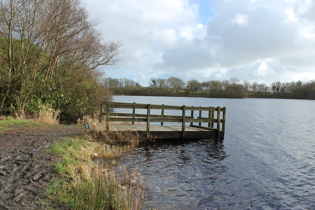
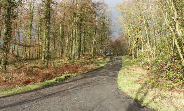
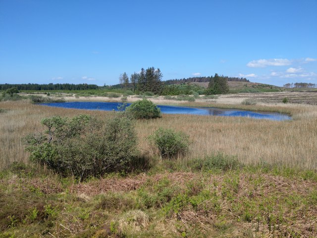
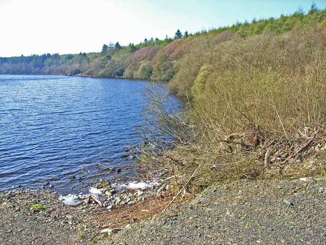
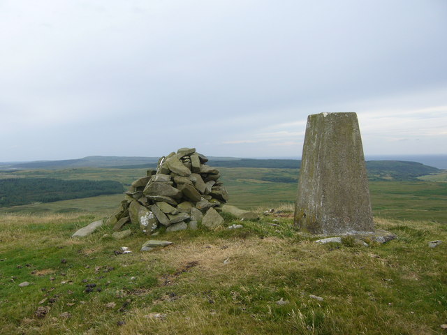
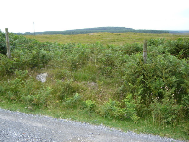
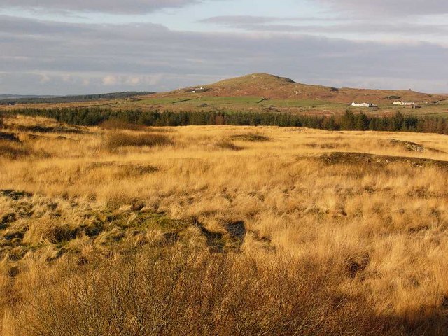
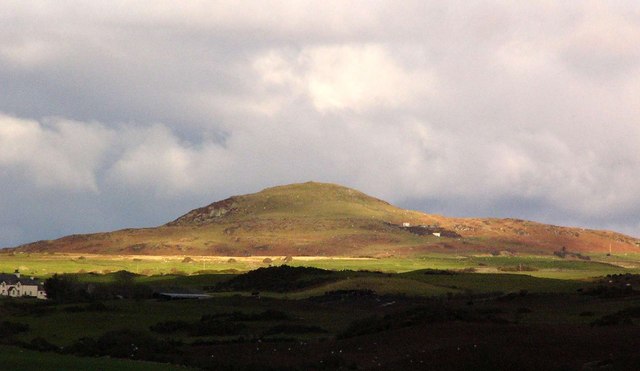
Downs, Moorland in Wigtownshire

Scotland

Swinefell

Whitefield Loch
Whitefield Loch Credit: Billy McCrorie

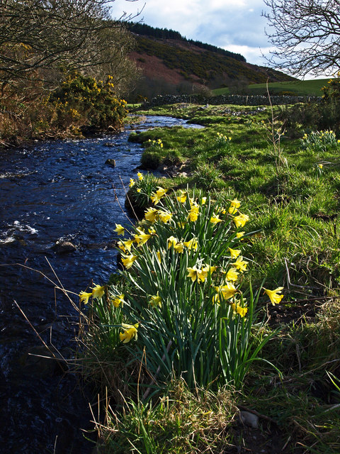
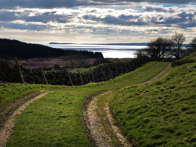
Swinefell is a small village located in the region of Wigtownshire in Scotland. Situated amidst picturesque Downs and Moorland landscapes, Swinefell offers a tranquil and scenic setting for residents and visitors alike. The village is known for its peaceful atmosphere and stunning views of the surrounding countryside.

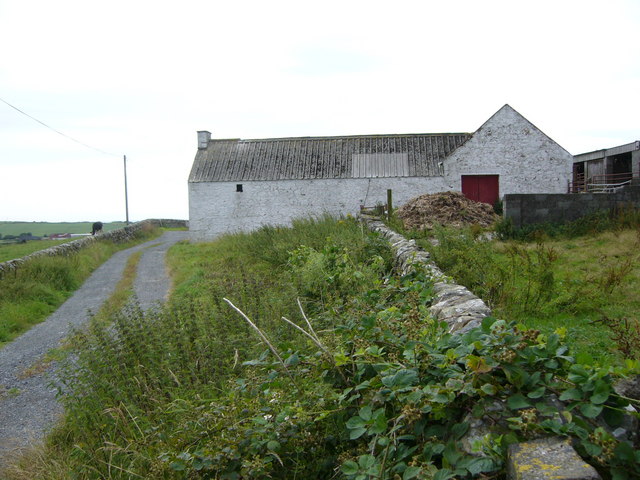
Swinefell is home to a close-knit community that takes pride in its rural heritage and traditional way of life. The village is dotted with charming cottages and historic buildings, adding to its quaint and timeless appeal. Residents of Swinefell enjoy a strong sense of community spirit and often come together for local events and gatherings.

The surrounding Downs and Moorland provide ample opportunities for outdoor activities such as hiking, bird-watching, and nature exploration. The rolling hills and open spaces offer a peaceful retreat from the hustle and bustle of city life, making Swinefell an ideal destination for those seeking a quiet and serene escape.

Overall, Swinefell is a hidden gem in Wigtownshire, offering a unique blend of natural beauty, community spirit, and rural charm.

If you have any feedback on the listing, please let us know in the comments section below.
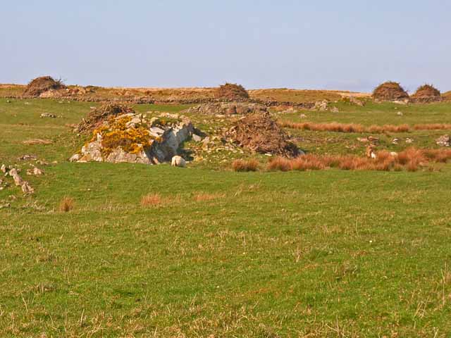
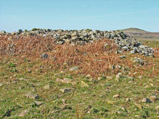
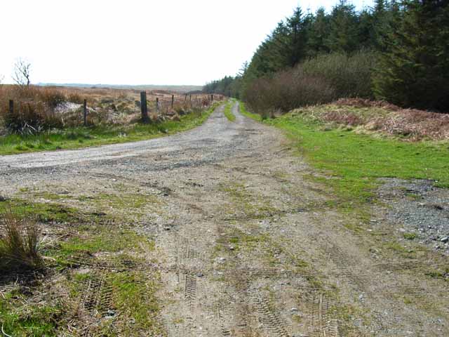
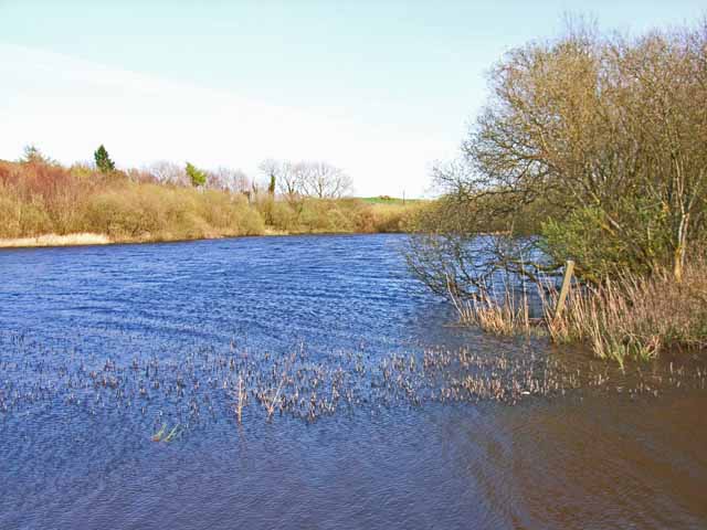
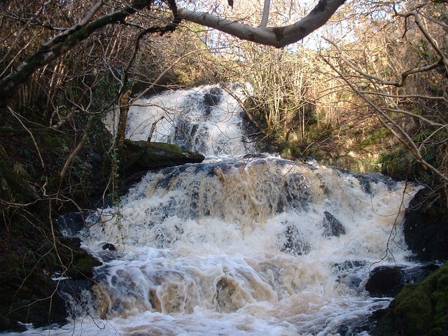
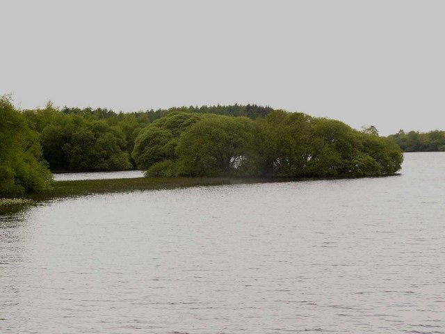
Swinefell Images

Images are sourced within 2km of 54.850596/-4.7221746 or Grid Reference NX2554. Thanks to Geograph Open Source API. All images are credited.

Whitefield Loch
Whitefield Loch
Track to Craigenveoch
Loch Robin On this glorious spring day, the reed beds surrounding this little loch were alive with sedge warblers, willow warblers and reed buntings.
Loch Robin
On this glorious spring day, the reed beds surrounding this little loch were alive with sedge warblers, willow warblers and reed buntings.
Whitefield Loch, near Glenluce
Field at Machermore, near Glenluce The piles in the distance may be the result of clearing gorse which is a major menace throughout the farmland of south-west Scotland
Field at Machermore, near Glenluce
The piles in the distance may be the result of clearing gorse which is a major menace throughout the farmland of south-west Scotland
The White Cairn on the Wigtownshire Moors One of the many prehistoric cairns on the Moors
The White Cairn on the Wigtownshire Moors
One of the many prehistoric cairns on the Moors
End of the tarmac A rough road leads over the Moors from Whitefield Loch to Challochglass. This is the end of the tarmac. Further east, the road gets a whole lot worse. See <a href="https://www.geograph.org.uk/gridref/NX2754">NX2754</a> and <a href="https://www.geograph.org.uk/gridref/NX2854">NX2854</a> before it gets better <a href="https://www.geograph.org.uk/gridref/NX2955">NX2955</a> and <a href="https://www.geograph.org.uk/gridref/NX3055">NX3055</a>
End of the tarmac
A rough road leads over the Moors from Whitefield Loch to Challochglass. This is the end of the tarmac. Further east, the road gets a whole lot worse. See NX2754 and NX2854 before it gets better NX2955 and NX3055
Whitefield Loch An angler's loch. Looking across the south bay from the car park
Whitefield Loch
An angler's loch. Looking across the south bay from the car park
Knock Fell trig
Knock Fell trig
Moorland west of Knock Fell
Barn at Machermore
Barn at Machermore
Moorland Lochan Surrounded by forestry on three sides, this lochan lies hidden about a kilometre west of Castle Loch.
Moorland Lochan
Surrounded by forestry on three sides, this lochan lies hidden about a kilometre west of Castle Loch.
Knock of Luce Fell Just a nice view of the Knock taken from the SE
Knock of Luce Fell
Just a nice view of the Knock taken from the SE
Waterfall on the Gillespie Burn
Crannog, Whitefield Loch The remains of an iron age crannog, overgrown with bushes. The line of reeds marks the underwater causeway linking the crannog with the mainland. There is reportedly at least one other crannog in this loch, but it is submerged and not normally visible.
Crannog, Whitefield Loch
The remains of an iron age crannog, overgrown with bushes. The line of reeds marks the underwater causeway linking the crannog with the mainland. There is reportedly at least one other crannog in this loch, but it is submerged and not normally visible.
Knock of Luce from Mull of Sinniness
In the Lily Glen The little glen of the Gillespie Burn which runs from near Culroy farm to the sea at Craignarget, is known as the Lily Glen - locally daffodils are often called lilies. These are the true wild daffodils also known as the Lent Lily, narcissus pseudonarcissus, and are rare in Scotland (and according to some guides not found at all north of the border). Along the banks of this burn they grow in abundance.
In the Lily Glen
The little glen of the Gillespie Burn which runs from near Culroy farm to the sea at Craignarget, is known as the Lily Glen - locally daffodils are often called lilies. These are the true wild daffodils also known as the Lent Lily, narcissus pseudonarcissus, and are rare in Scotland (and according to some guides not found at all north of the border). Along the banks of this burn they grow in abundance.
The road to Barhaskine The view is to Luce Bay and the Mull of Galloway. Barhaskine, now in ruins, lies in the trees on the right.
The road to Barhaskine
The view is to Luce Bay and the Mull of Galloway. Barhaskine, now in ruins, lies in the trees on the right.
Show me another place!

Swinefell is located at Grid Ref: NX2554 (Lat: 54.850596, Lng: -4.7221746)

Unitary Authority: Dumfries and Galloway

Police Authority: Dumfries and Galloway

What 3 Words

///screening.dreamers.cheek. Near Newton Stewart, Dumfries & Galloway

Nearby Locations

White Cairn Swinefell

Related Wikis

Wigtown Area

Wigtown is a lieutenancy area in south-west Scotland and a committee area of Dumfries and Galloway Council. From 1975 until 1996 it was also a local government...

Wigtownshire

Wigtownshire or the County of Wigtown (Scottish Gaelic: Siorrachd Bhaile na h-Ùige, Scots: Wigtounshire) is one of the historic counties of Scotland, covering...

Auchenmalg

Auchenmalg is a small hamlet situated on the shore of Luce Bay in the parish of Old Luce, Wigtownshire, south-west Scotland. Auchenmalg consists of a village...

Castle Loch, Dumfries and Galloway

Castle Loch is a large, shallow, freshwater loch in Dumfries and Galloway, in the Southern Uplands of south-west Scotland. It lies to the west of Mochrum...

Nearby Amenities

Located within 500m of 54.850596,-4.7221746
Waterway: dam
Lat/Long: 54.8506103/-4.715082
Power: pole
Lat/Long: 54.850419/-4.7224156
Power: pole
Lat/Long: 54.8508838/-4.7237111
Power: pole
Lat/Long: 54.8513279/-4.7249495
Power: pole
Lat/Long: 54.8518145/-4.7262851
Power: pole
Lat/Long: 54.8520749/-4.727029
Power: pole
Lat/Long: 54.8523876/-4.727887
Power: pole
Lat/Long: 54.8527903/-4.7289965
Power: pole
Lat/Long: 54.8509069/-4.7224156
Power: pole
Lat/Long: 54.8513279/-4.7224241
Power: pole
Lat/Long: 54.8518012/-4.7224283
The data included in this document is from www.openstreetmap.org. The data is made available under ODbL.

Have you been to Swinefell?

Leave your review of Swinefell below (or comments, questions and feedback).