Tregearedown Beacon

Hill, Mountain in Cornwall

England

Tregearedown Beacon

Field near Helson The same field as in <a href="https://www.geograph.org.uk/photo/4439326">SX2388 : Field near Helson</a>, with the same row of telegraph poles. The farm buildings on the left are at West Park.
Field near Helson Credit: Derek Harper

The requested URL returned error: 429 Too Many Requests

If you have any feedback on the listing, please let us know in the comments section below.

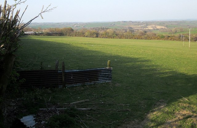
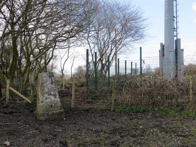
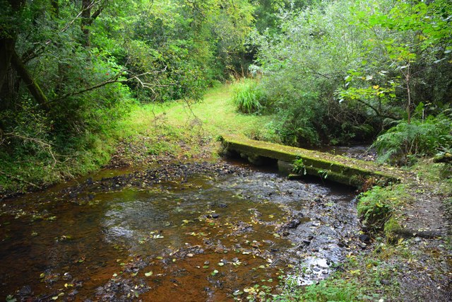
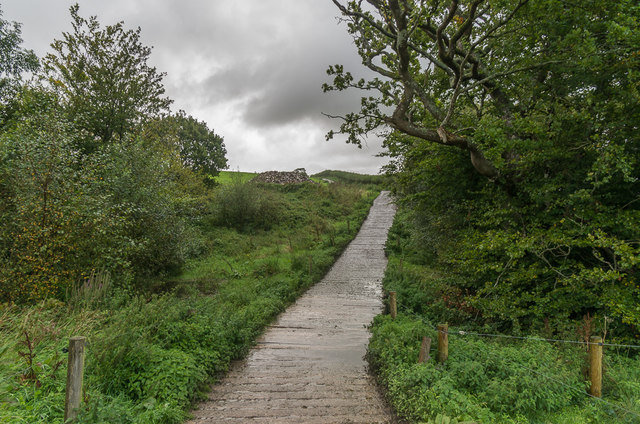
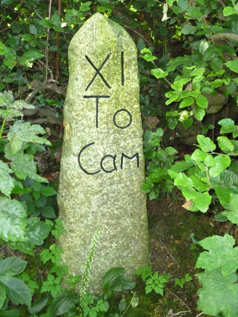
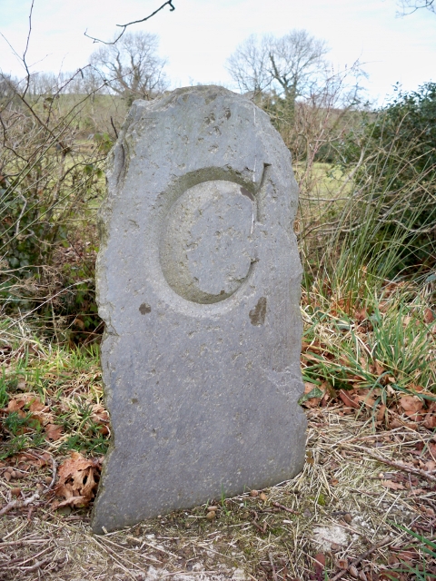
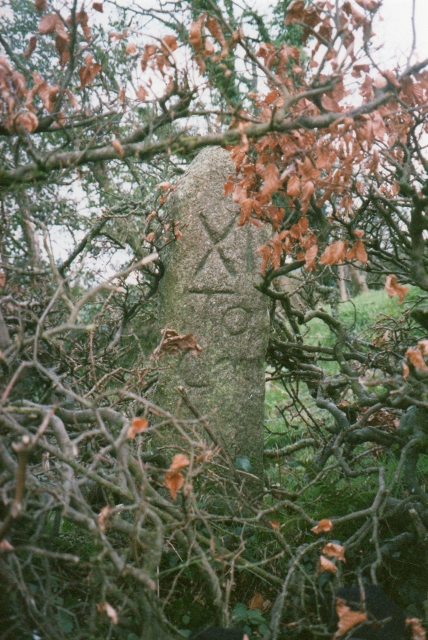
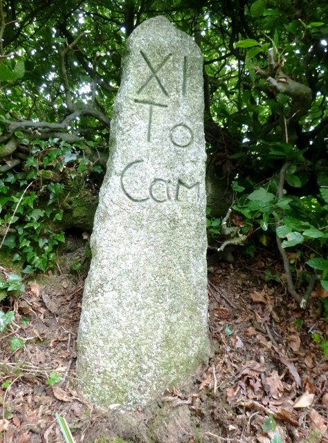
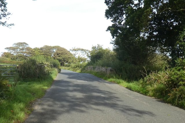
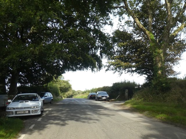
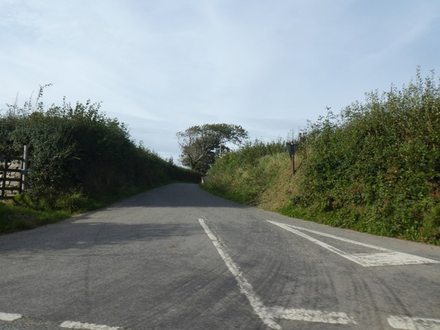
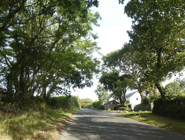
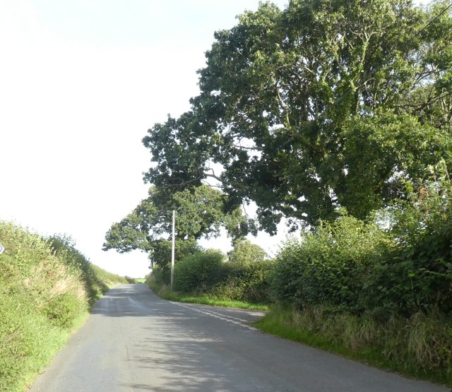
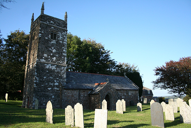
Tregearedown Beacon Images

Images are sourced within 2km of 50.654736/-4.4763205 or Grid Reference SX2586. Thanks to Geograph Open Source API. All images are credited.

Field near Helson The same field as in <a href="https://www.geograph.org.uk/photo/4439326">SX2388 : Field near Helson</a>, with the same row of telegraph poles. The farm buildings on the left are at West Park.
Field near Helson
The same field as in SX2388 : Field near Helson, with the same row of telegraph poles. The farm buildings on the left are at West Park.
Field near Dunnaquarry On the slopes of a tributary valley of the Ottery, and from a lane junction south-east of Tremaine.
Field near Dunnaquarry
On the slopes of a tributary valley of the Ottery, and from a lane junction south-east of Tremaine.
An uprooted and moved Tregearedown Triangulation Pillar This once stood on Tregearedown Beacon (SX 25071 86823) but has been uprooted and moved into the corner of the field almost 200 yards south-westward next to a new communications mast compound.
An uprooted and moved Tregearedown Triangulation Pillar
This once stood on Tregearedown Beacon (SX 25071 86823) but has been uprooted and moved into the corner of the field almost 200 yards south-westward next to a new communications mast compound.
Badharlick Ford This ford on the Amry River is found along the byway at Badharlick.
Badharlick Ford
This ford on the Amry River is found along the byway at Badharlick.
South of Penheale Barton Pastureland south of Penheale Barton.
South of Penheale Barton
Pastureland south of Penheale Barton.
Track over stream Concrete track crossing a small unnamed stream north of Egloskerry.
Track over stream
Concrete track crossing a small unnamed stream north of Egloskerry.
Old Milestone east of Badharlick Carved stone post by the UC road, in parish of EGLOSKERRY (CARADON District), above Badharlick Mill, on top of hedge bank, on South side of road. Rough granite, erected by the parish in the 21st century. 

Inscription reads:-
XI
To
Cam   

Milestone Society National ID: CW_LACF06R
Old Milestone east of Badharlick
Carved stone post by the UC road, in parish of EGLOSKERRY (CARADON District), above Badharlick Mill, on top of hedge bank, on South side of road. Rough granite, erected by the parish in the 21st century. Inscription reads:- XI To Cam Milestone Society National ID: CW_LACF06R
Old Bridge Marker by Badharlick Bridge, Egloskerry Bridge Marker in the parish of Egloskerry (North Cornwall District), South of Badharlick Bridge, at junction of Badharlick Road and Pipers Pool Road.

Surveyed

Milestone Society National ID: CW_EGLbr.
Old Bridge Marker by Badharlick Bridge, Egloskerry
Bridge Marker in the parish of Egloskerry (North Cornwall District), South of Badharlick Bridge, at junction of Badharlick Road and Pipers Pool Road. Surveyed Milestone Society National ID: CW_EGLbr.
Old Milestone west of Badharlick Mill, Egloskerry Parish Milestone in parish of Egloskerry (Caradon District), West of Badharlick Mill, South side of road, on top of hedge, hidden by summer growth.

Cornwall & Scilly HER.
HER Number: MCO55425 <span class="nowrap"><a title="https://www.heritagegateway.org.uk/Gateway/Results_Single.aspx?uid=MCO55425&resourceID=1020" rel="nofollow ugc noopener" href="https://www.heritagegateway.org.uk/Gateway/Results_Single.aspx?uid=MCO55425&resourceID=1020">Link</a><img style="margin-left:2px;" alt="External link" title="External link - shift click to open in new window" src="https://s1.geograph.org.uk/img/external.png" width="10" height="10"/></span>

Lost since 2010 and replaced with a facsimile:  <a title="https://www.geograph.org.uk/photo/6390950" href="https://www.geograph.org.uk/photo/6390950">Link</a>

Milestone Society National ID: CW_LACF06A
Old Milestone west of Badharlick Mill, Egloskerry Parish
Milestone in parish of Egloskerry (Caradon District), West of Badharlick Mill, South side of road, on top of hedge, hidden by summer growth. Cornwall & Scilly HER. HER Number: MCO55425 LinkExternal link Lost since 2010 and replaced with a facsimile: Link Milestone Society National ID: CW_LACF06A
Replica Milestone by the A39, east of Badharlick Carved stone post by the A39, in parish of EGLOSKERRY (CARADON District), above Badharlick Mill, on top of hedge bank, on South side of road. Rough granite - a facsimile erected by the parish in the 21st century to replace a 'lost' old stone: <a title="https://www.geograph.org.uk/photo/6043688" href="https://www.geograph.org.uk/photo/6043688">Link</a>

Inscription reads:-
XI
To
Cam

Cornwall & Scilly HER. 
HER Number: MCO56434 <span class="nowrap"><a title="https://www.heritagegateway.org.uk/Gateway/Results_Single.aspx?uid=MCO56434&resourceID=1020" rel="nofollow ugc noopener" href="https://www.heritagegateway.org.uk/Gateway/Results_Single.aspx?uid=MCO56434&resourceID=1020">Link</a><img style="margin-left:2px;" alt="External link" title="External link - shift click to open in new window" src="https://s1.geograph.org.uk/img/external.png" width="10" height="10"/></span> 

Milestone Society National ID: CW_CFWB11R.
Replica Milestone by the A39, east of Badharlick
Carved stone post by the A39, in parish of EGLOSKERRY (CARADON District), above Badharlick Mill, on top of hedge bank, on South side of road. Rough granite - a facsimile erected by the parish in the 21st century to replace a 'lost' old stone: Link Inscription reads:- XI To Cam Cornwall & Scilly HER. HER Number: MCO56434 LinkExternal link Milestone Society National ID: CW_CFWB11R.
Advertising sign for Tresmeer village hall Just west of the road junction in Three Hammers for the centre of Tresmeer
Advertising sign for Tresmeer village hall
Just west of the road junction in Three Hammers for the centre of Tresmeer
Field access track in Three Hammers
Former railway bridge on Tremeer road Bridge over the former North Cornwall Railway; in an overgrown cutting under the road
Former railway bridge on Tremeer road
Bridge over the former North Cornwall Railway; in an overgrown cutting under the road
Cars parked at Trehummer Cars parked on the minor road at Trehummer Lodge, where a track leads to a small business
Cars parked at Trehummer
Cars parked on the minor road at Trehummer Lodge, where a track leads to a small business
Road to Treburtle
Road to Treburtle
Houses at Tor Wood The Victorian OS map labels this group as Tor Cottages
Houses at Tor Wood
The Victorian OS map labels this group as Tor Cottages
Road junction for Treburrow
Road to Trebeath; no through road Even 19th century OS maps show this road as serving Trebeath only; there are only field access tracks beyond
Road to Trebeath; no through road
Even 19th century OS maps show this road as serving Trebeath only; there are only field access tracks beyond
Show me another place!

Tregearedown Beacon is located at Grid Ref: SX2586 (Lat: 50.654736, Lng: -4.4763205)

Unitary Authority: Cornwall

Police Authority: Devon and Cornwall

What 3 Words

///pegs.acclaimed.factories. Near Trewen, Cornwall

Related Wikis

Trebeath

Trebeath is a hamlet in the parish of Egloskerry, Cornwall, England, United Kingdom. == References == == External links == Media related to Trebeath at...

Badgall

Badgall (Cornish: Bos Galla, meaning Calla's dwelling) is a hamlet in the parish of Laneast, Cornwall, England, United Kingdom. It is situated 6 miles...

Tresmeer

Tresmeer (sometimes spelled Tresmere) (Cornish: Trewasmeur) is a hamlet and a civil parish in northeast Cornwall, England, United Kingdom. The hamlet is...

Egloskerry

Egloskerry (Cornish: Egloskeri) is a village and civil parish in east Cornwall, England, United Kingdom. It is situated approximately five miles (8.0 km...

Have you been to Tregearedown Beacon?

Leave your review of Tregearedown Beacon below (or comments, questions and feedback).