Little Brown Hill
Hill, Mountain in Ayrshire
Scotland
Little Brown Hill
Little Brown Hill is a prominent geographical feature located in Ayrshire, Scotland. It is situated approximately 5 miles south of the town of Ayr and stands at an elevation of 557 feet (170 meters) above sea level. Although it is not particularly high compared to other mountains in Scotland, it is a notable landmark in the region.
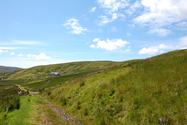
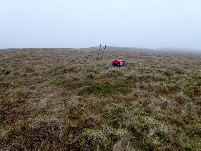
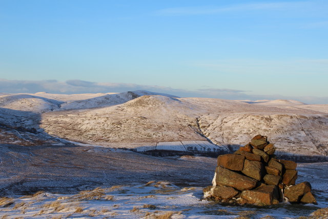
Little Brown Hill is characterized by its distinctive shape, which resembles a gently sloping dome covered in heather and grass. The hill is predominantly composed of sandstone, and its slopes are dotted with scattered outcrops and boulders. The terrain is relatively gentle, making it accessible for hikers and nature enthusiasts.
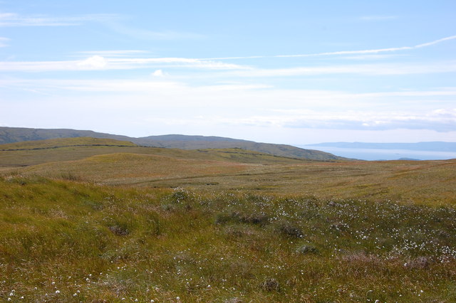
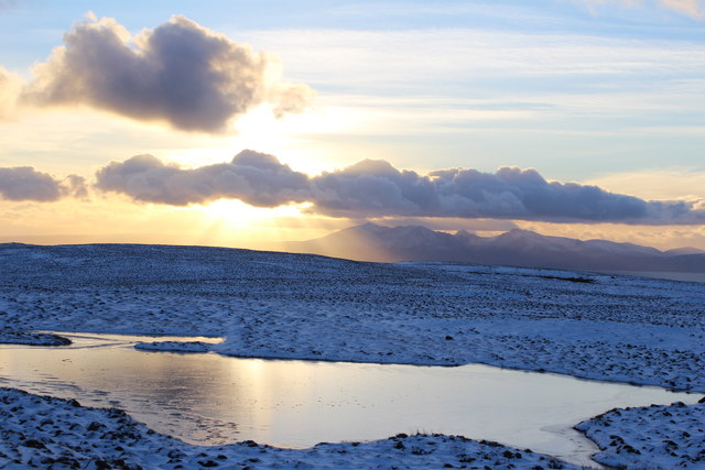
The hill offers stunning panoramic views of the surrounding countryside, including the rolling hills and farmland of Ayrshire. On clear days, it is possible to see the Firth of Clyde and the distant mountains of Arran and the Isle of Bute.
Little Brown Hill is also known for its rich biodiversity. The area supports a variety of plant species, including heather, gorse, and bracken, which provide habitat for a range of wildlife. Visitors may spot birds such as buzzards, kestrels, and pheasants, as well as smaller mammals such as rabbits and hares.
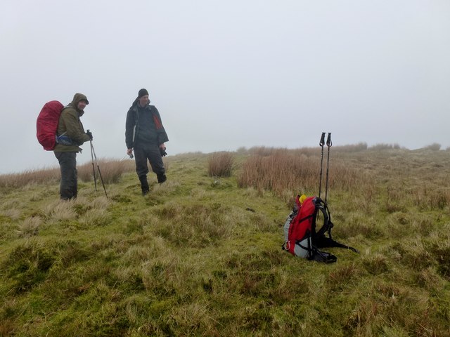
Given its accessibility and natural beauty, Little Brown Hill is a popular destination for outdoor activities such as walking, hiking, and photography. It offers a tranquil escape from the hustle and bustle of urban life and provides a chance to immerse oneself in the scenic beauty of the Ayrshire countryside.
If you have any feedback on the listing, please let us know in the comments section below.
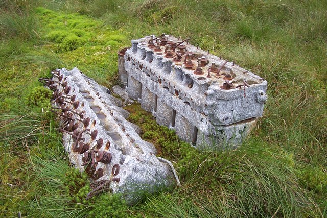
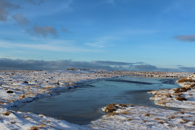
Little Brown Hill Images
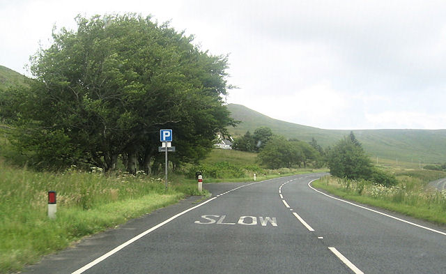
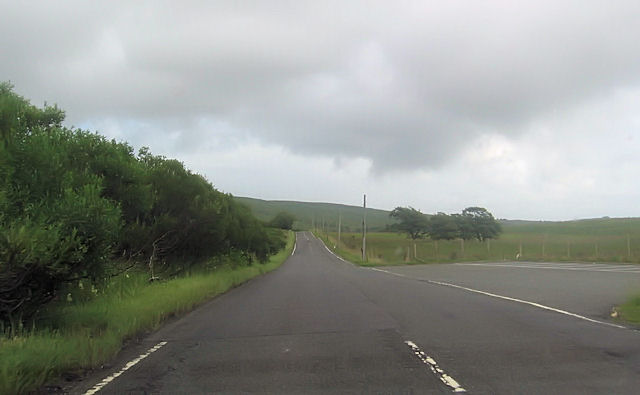
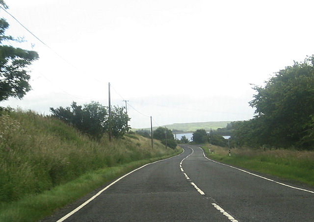
Images are sourced within 2km of 55.769694/-4.7906858 or Grid Reference NS2556. Thanks to Geograph Open Source API. All images are credited.


Little Brown Hill is located at Grid Ref: NS2556 (Lat: 55.769694, Lng: -4.7906858)
Unitary Authority: North Ayrshire
Police Authority: Ayrshire
What 3 Words
///taxpayers.emailed.rotation. Near Fairlie, North Ayrshire
Nearby Locations
Related Wikis

Irish Law (mountain)
Irish Law is a mountain located in North Ayrshire, Scotland near the town of Largs. It has an elevation of 484 metres (1,588 ft) and a prominence of 80...

Kelburn Castle
Kelburn Castle is a large house near Fairlie, North Ayrshire, Scotland. It is the seat of the Earl of Glasgow. Originally built in the thirteenth century...
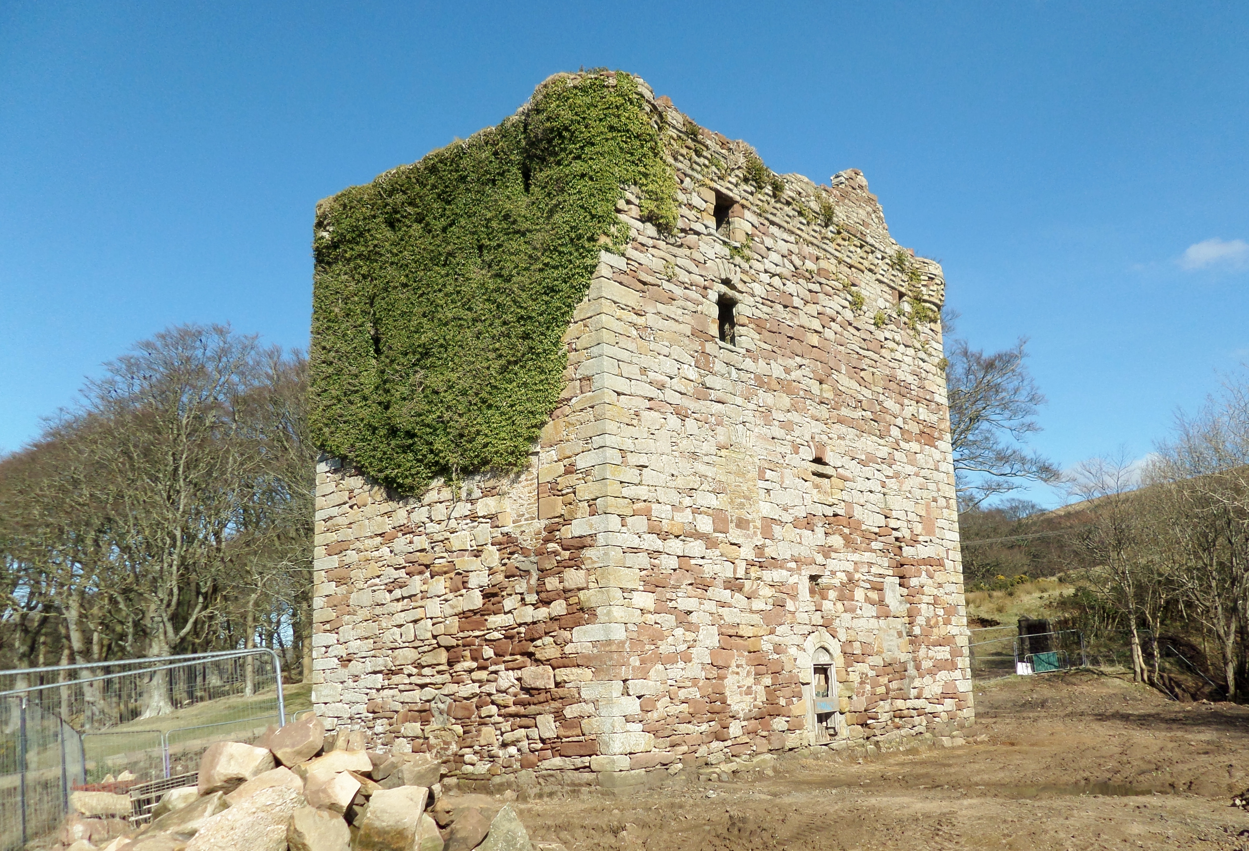
Fairlie Castle
Fairlie Castle is a restored oblong tower castle located on a natural rounded knoll situated above a precipitous section of the Fairlie Glen near the town...
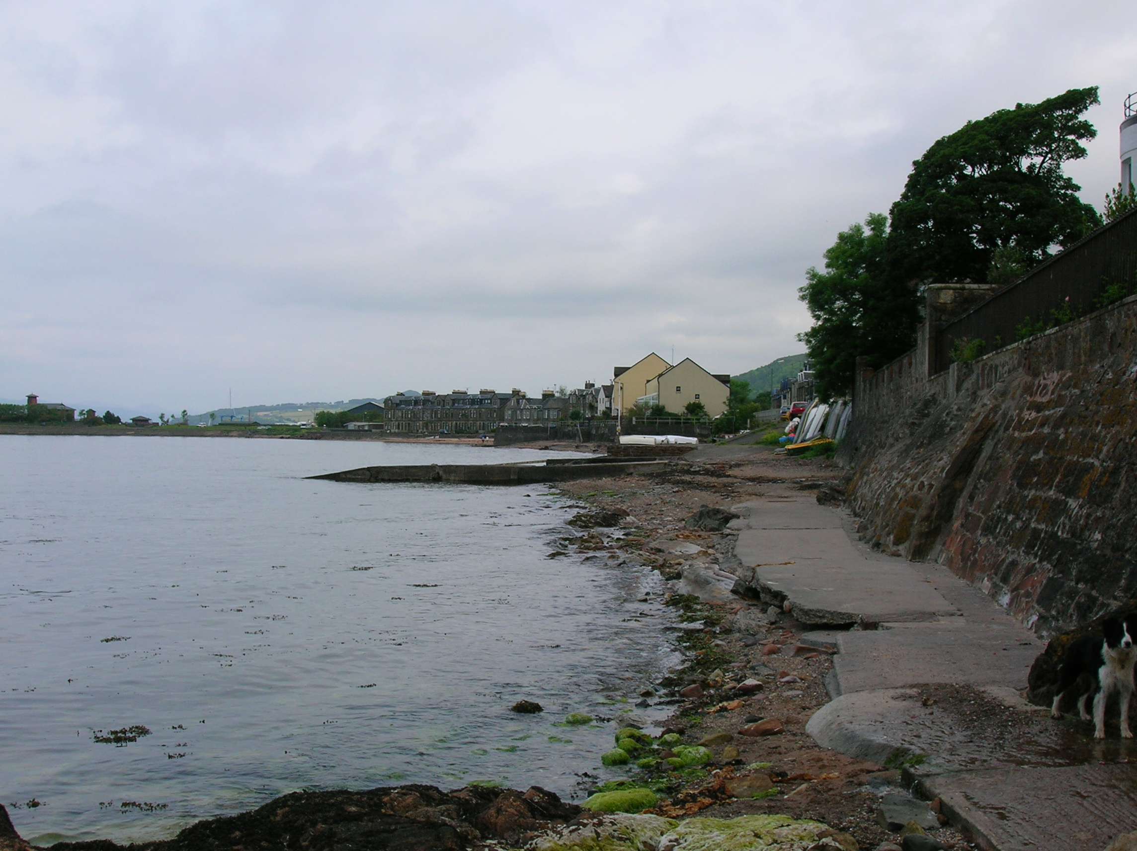
Fairlie, North Ayrshire
Fairlie is a village in North Ayrshire, Scotland. == Location and status == Fairlie sits on the eastern shore of the Firth of Clyde and looks across to...
Nearby Amenities
Located within 500m of 55.769694,-4.7906858Have you been to Little Brown Hill?
Leave your review of Little Brown Hill below (or comments, questions and feedback).