Muirhead Reservoir
Lake, Pool, Pond, Freshwater Marsh in Ayrshire
Scotland
Muirhead Reservoir
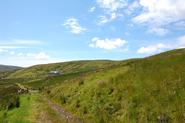
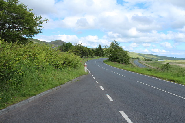
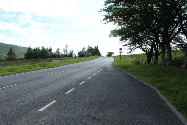
Muirhead Reservoir is a picturesque freshwater body located in Ayrshire, Scotland. Spanning an area of approximately 50 acres, it serves as a significant water source for the nearby towns and villages. The reservoir is nestled amidst rolling hills and bordered by lush greenery, offering a serene and tranquil environment for visitors.
The reservoir's calm waters provide a haven for various aquatic plants and wildlife, making it a popular spot for nature enthusiasts and birdwatchers. The surrounding marshland further adds to the biodiversity of the area, making it an ideal habitat for a diverse range of plant and animal species. Waterfowl such as ducks, swans, and geese can often be spotted gliding across the surface of the reservoir.
For those seeking outdoor activities, Muirhead Reservoir offers opportunities for fishing and boating. Anglers can try their luck at catching a variety of fish species, including trout and pike. The reservoir is also a popular spot for sailing and kayaking, providing a scenic backdrop for water-based adventures.
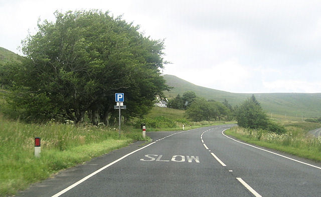
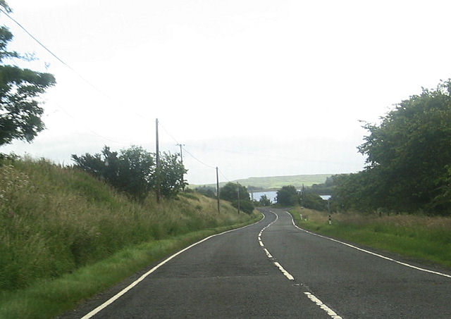
Muirhead Reservoir is easily accessible, with a car park located nearby for visitors. There are also well-maintained footpaths that allow visitors to explore the surrounding area and enjoy the breathtaking views. Picnic areas are available, making it an ideal spot for families and friends to gather for a day of relaxation and enjoyment.
Overall, Muirhead Reservoir is a hidden gem in the heart of Ayrshire, offering a peaceful retreat and an array of recreational activities for nature lovers and outdoor enthusiasts alike.
If you have any feedback on the listing, please let us know in the comments section below.
Muirhead Reservoir Images
Images are sourced within 2km of 55.773082/-4.7804349 or Grid Reference NS2556. Thanks to Geograph Open Source API. All images are credited.


Muirhead Reservoir is located at Grid Ref: NS2556 (Lat: 55.773082, Lng: -4.7804349)
Unitary Authority: North Ayrshire
Police Authority: Ayrshire
What 3 Words
///pony.twitches.scrub. Near Fairlie, North Ayrshire
Nearby Locations
Related Wikis

Irish Law (mountain)
Irish Law is a mountain located in North Ayrshire, Scotland near the town of Largs. It has an elevation of 484 metres (1,588 ft) and a prominence of 80...

Kelburn Castle
Kelburn Castle is a large house near Fairlie, North Ayrshire, Scotland. It is the seat of the Earl of Glasgow. Originally built in the thirteenth century...

British European Airways Flight S200P
British European Airways Flight S200P was a short-haul flight from London-Northolt Airport to Glasgow-Renfrew Airport, Scotland. On 21 April 1948, while...
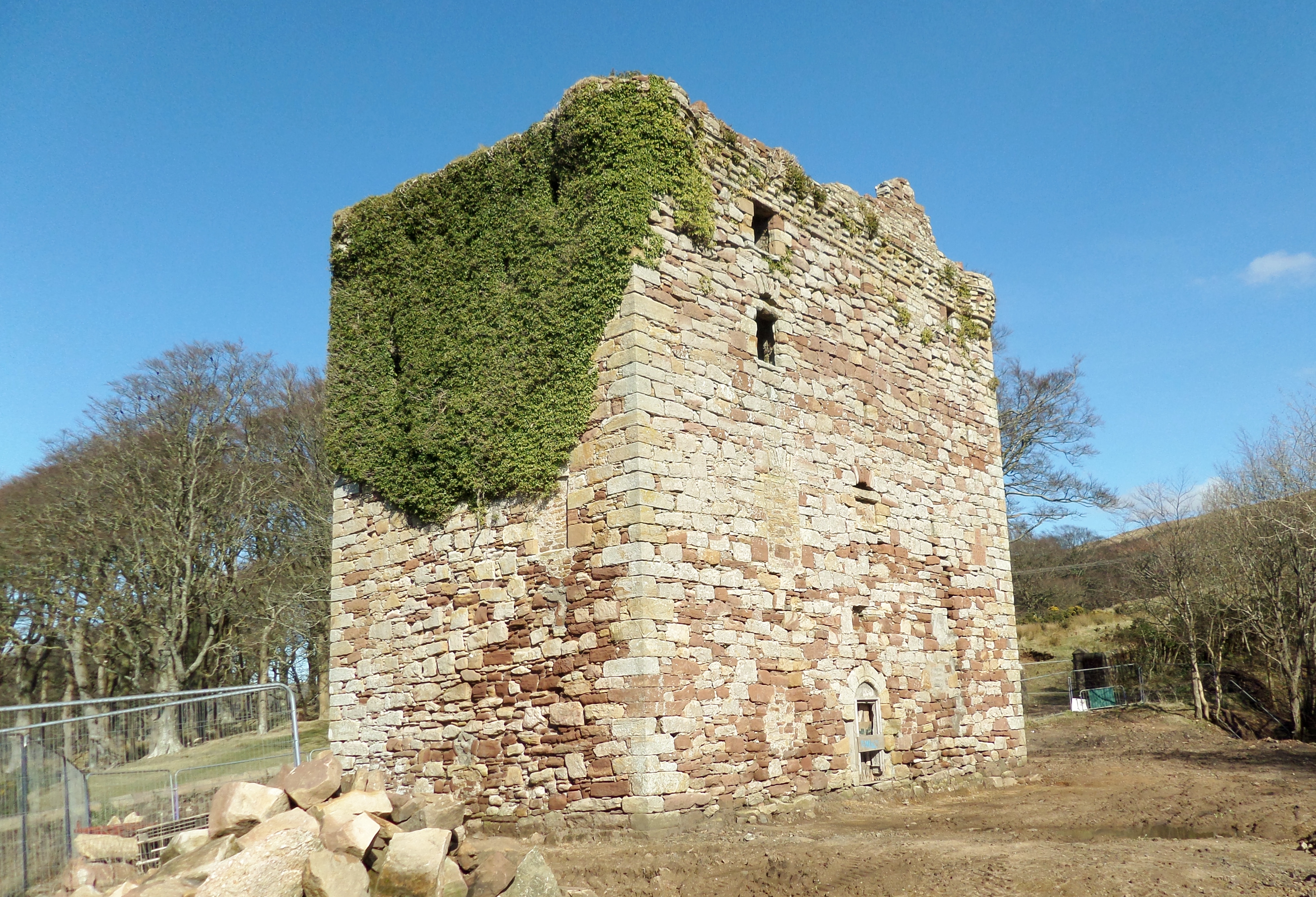
Fairlie Castle
Fairlie Castle is a restored oblong tower castle located on a natural rounded knoll situated above a precipitous section of the Fairlie Glen near the town...
Nearby Amenities
Located within 500m of 55.773082,-4.7804349Have you been to Muirhead Reservoir?
Leave your review of Muirhead Reservoir below (or comments, questions and feedback).