Bakesdown Common
Downs, Moorland in Cornwall
England
Bakesdown Common
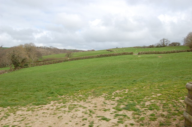
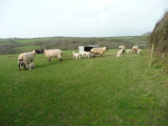
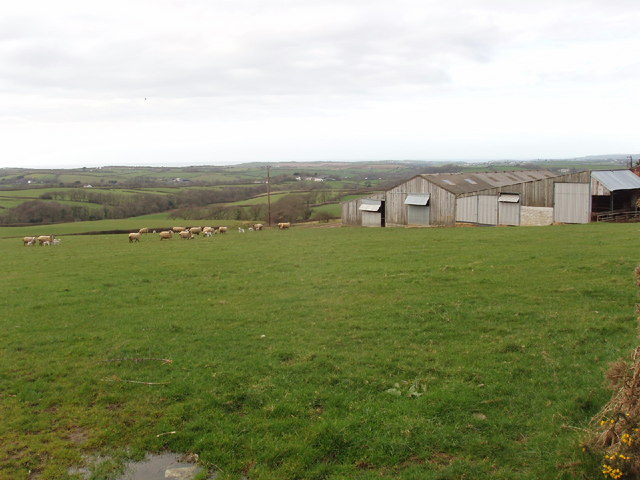
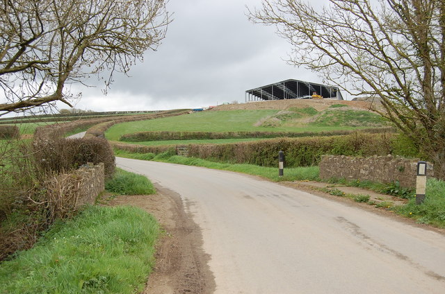
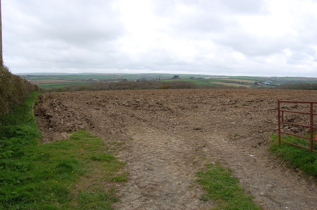
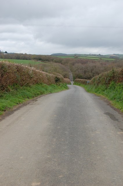
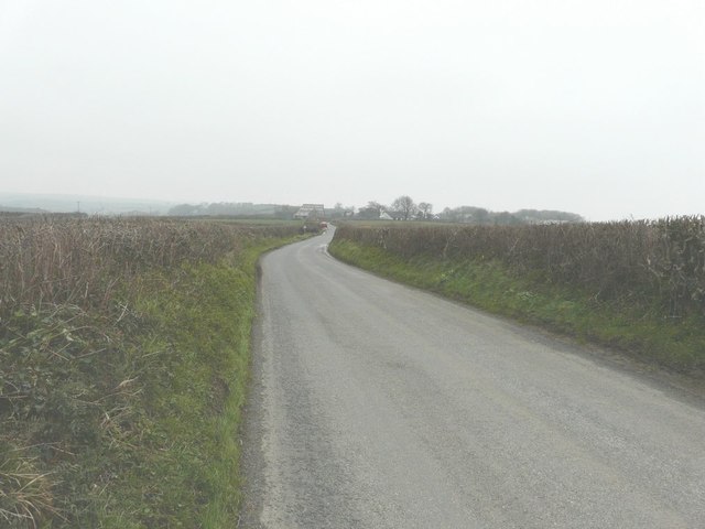
Bakesdown Common is a picturesque area located in Cornwall, England. Situated in the parish of Whitstone, it is a captivating stretch of downs and moorland that offers visitors a peaceful and scenic escape. Spanning an area of approximately 1,000 acres, Bakesdown Common boasts a diverse landscape with rolling hills, gorse, and heather-covered moorland.
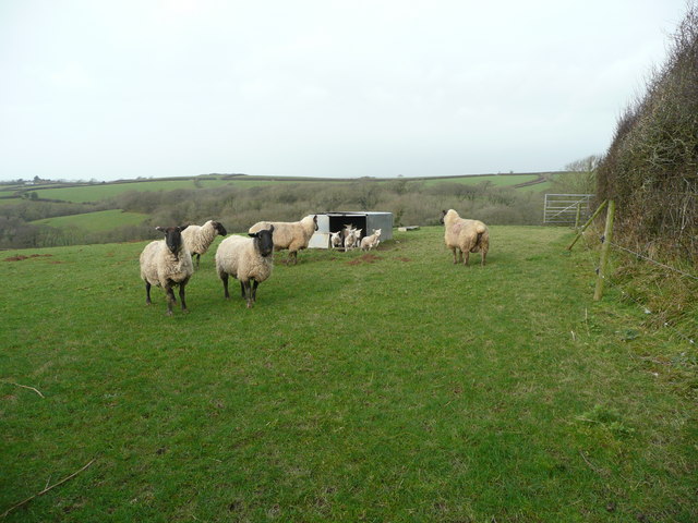
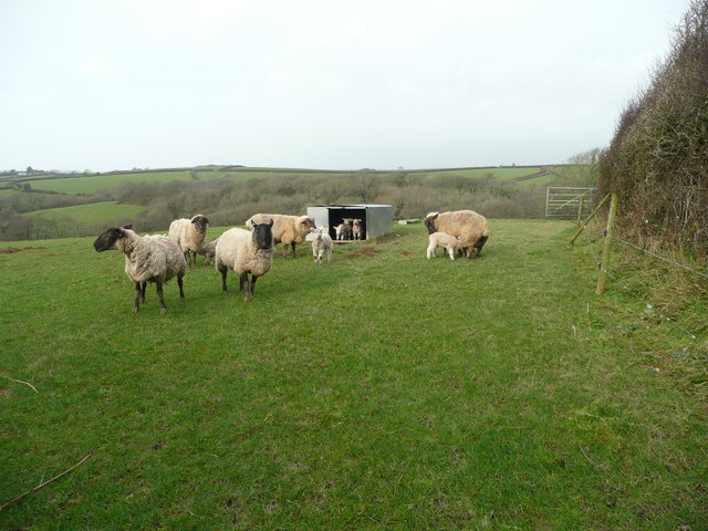
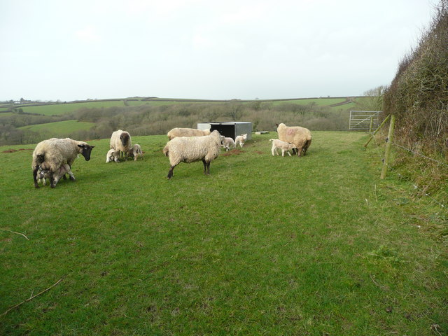
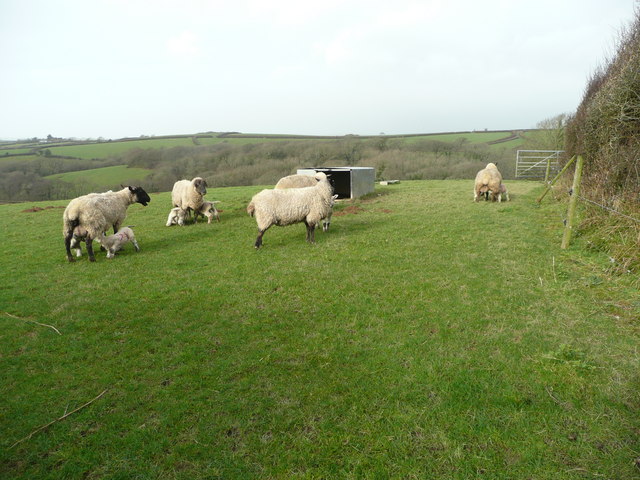
The common is home to a variety of wildlife, including several bird species and small mammals. Birdwatchers can often spot skylarks, stonechats, and meadow pipits, among others. The moorland areas are also an important habitat for butterflies and other insects, adding to the area's biodiversity.
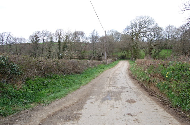
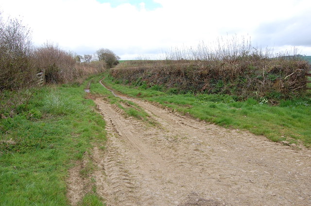
Visitors to Bakesdown Common can enjoy a range of recreational activities. The well-maintained footpaths and bridleways allow for leisurely walks and hikes, providing stunning panoramic views of the surrounding countryside. The common is also a popular spot for horse riding, with designated trails and ample space for riders to explore.
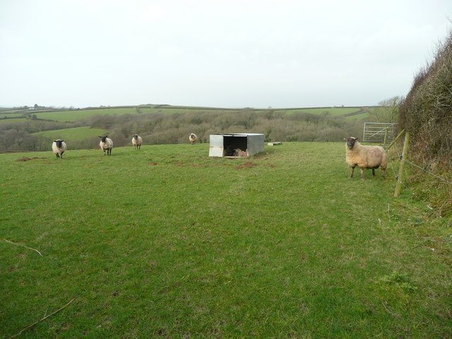
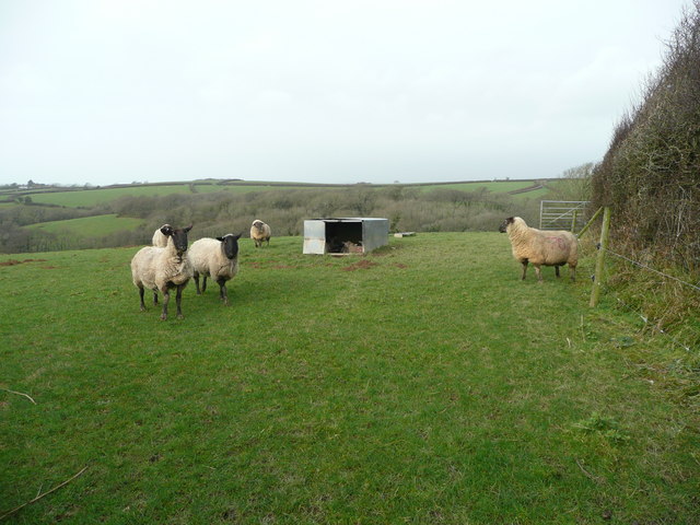
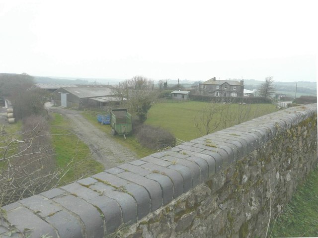
Historically, Bakesdown Common has been used for grazing livestock, and evidence of this can still be seen with the presence of ancient field boundaries and enclosures. The area is rich in archaeological sites, including Bronze Age barrows and Iron Age hillforts, adding an element of historical interest to the natural beauty of the common.
Bakesdown Common offers visitors a tranquil and unspoiled environment, ideal for nature lovers and those seeking a peaceful retreat in the heart of Cornwall's countryside. Whether exploring the moorland, observing wildlife, or simply enjoying the breathtaking views, Bakesdown Common is a haven for those looking to connect with nature and experience the beauty of rural Cornwall.
If you have any feedback on the listing, please let us know in the comments section below.
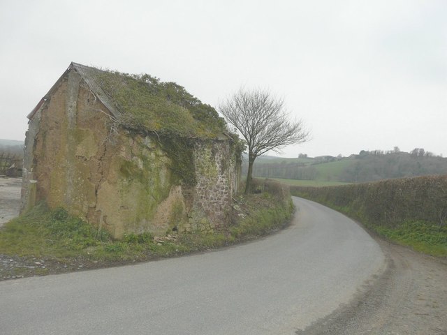
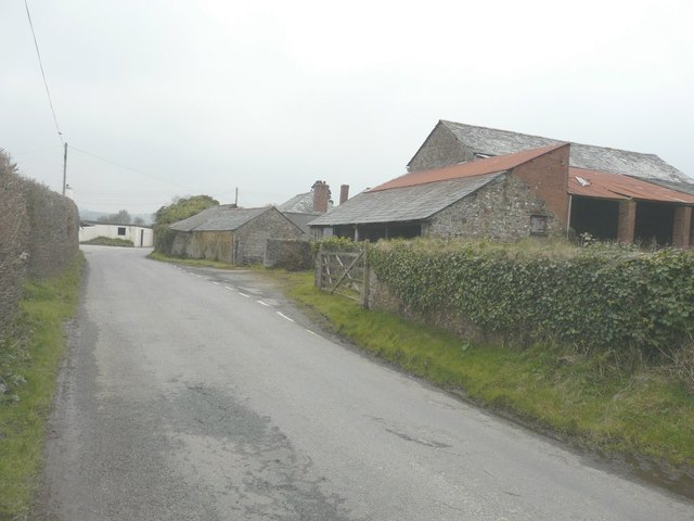
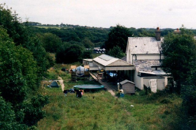
Bakesdown Common Images
Images are sourced within 2km of 50.7837/-4.48926 or Grid Reference SS2401. Thanks to Geograph Open Source API. All images are credited.
Bakesdown Common is located at Grid Ref: SS2401 (Lat: 50.7837, Lng: -4.48926)
Unitary Authority: Cornwall
Police Authority: Devon and Cornwall
What 3 Words
///corkscrew.digit.joined. Near Poundstock, Cornwall
Nearby Locations
Related Wikis

Titson
Titson or Budd's Titson is a hamlet in the parish of Marhamchurch, Cornwall, England, United Kingdom. == References == == External links == Media related...

Bakesdown
Bakesdown is a hamlet in northeast Cornwall, England, United Kingdom at grid reference SS 246 005. Bakesdown is 5 miles (8 kilometres) southeast of Bude...
Whitstone and Bridgerule railway station
Whitstone and Bridgerule (Cornish: Mengwynn ha Ponsrowald) was a railway station on the Bude Branch that closed in 1966. The station was opened in 1898...

Bridgerule
Bridgerule (Cornish: Ponsrowald) is a village and civil parish in Devon, England, a mile from the border with Cornwall. The parish is divided by the River...
Related Videos

Rainy day adventure in cornwall!!
Great day out on the bike in my local woods, had a great day and got lost haha Music by - Cartoon, Danial Levi - on and on.
Have you been to Bakesdown Common?
Leave your review of Bakesdown Common below (or comments, questions and feedback).