Bastreet Downs

Downs, Moorland in Cornwall

England

Bastreet Downs

High Rock, Kilmar Tor
High Rock, Kilmar Tor Credit: Chris Andrews

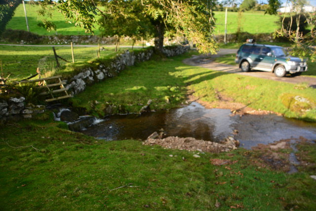
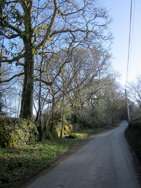
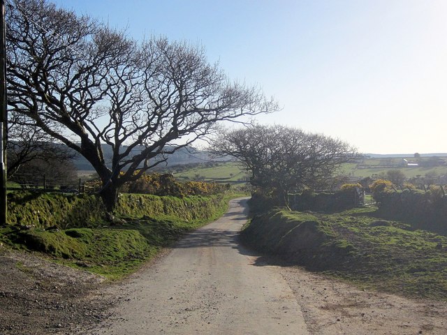
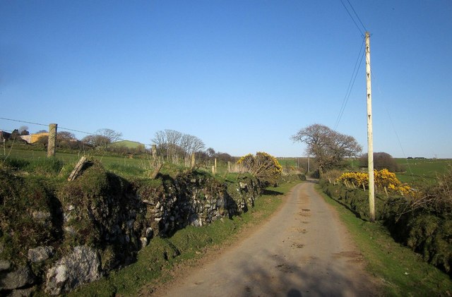
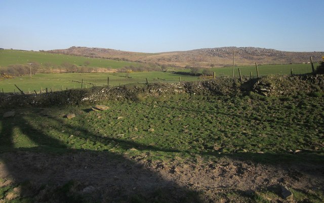
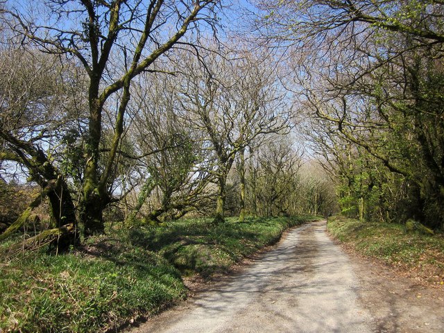
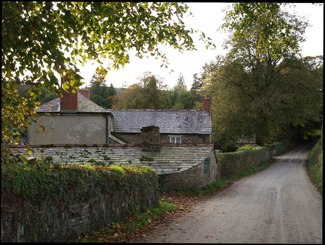
Bastreet Downs, located in Cornwall, England, is a captivating area of downs and moorland that spans over a vast stretch of picturesque landscape. Situated in the southeastern part of Cornwall, near the village of St Cleer, Bastreet Downs is renowned for its natural beauty and rich biodiversity.

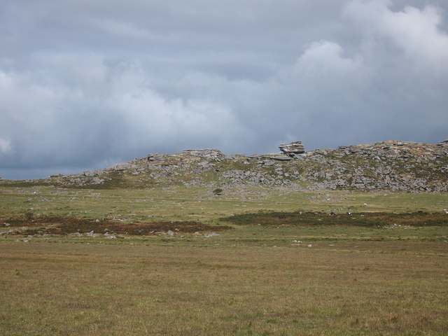
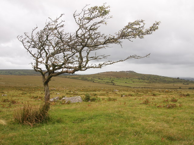
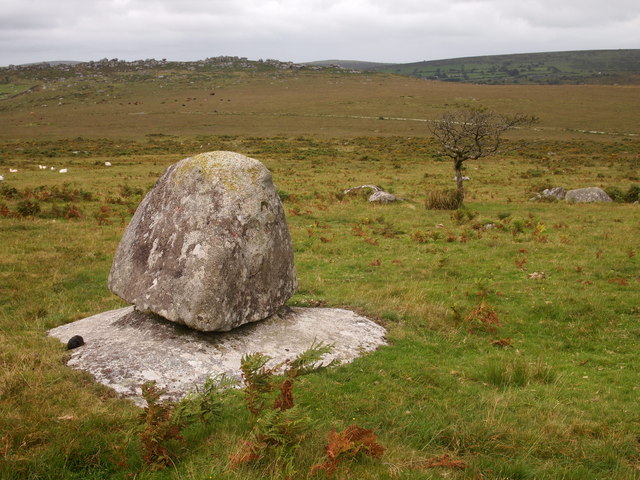
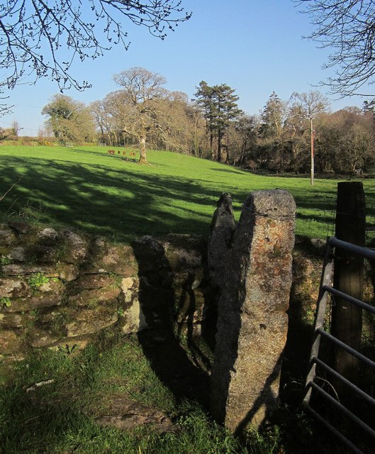
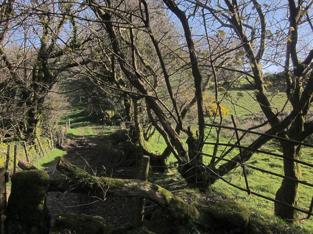
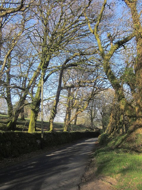
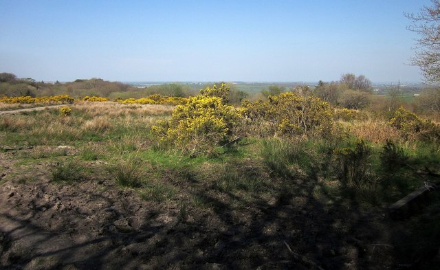
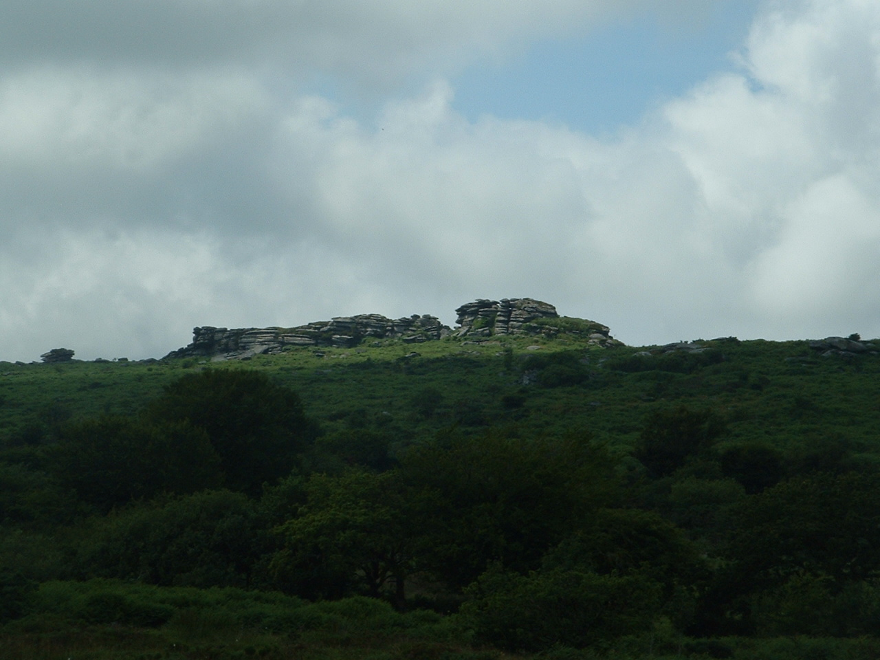
The area is characterized by its rolling hills, open grasslands, and heathlands, which are interspersed with patches of gorse and heather. These vibrant floral displays create a striking contrast against the backdrop of the rugged granite outcrops that dot the landscape. The downs are predominantly covered in a mix of grasses and wildflowers, providing a colorful tapestry throughout the seasons.

Bastreet Downs boasts an array of wildlife, making it a popular destination for nature enthusiasts and birdwatchers. The moorland is home to a diverse range of bird species, including skylarks, stonechats, and kestrels. Additionally, the area is known for its resident population of wild ponies, which can often be spotted grazing on the open grasslands.

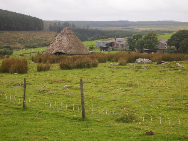
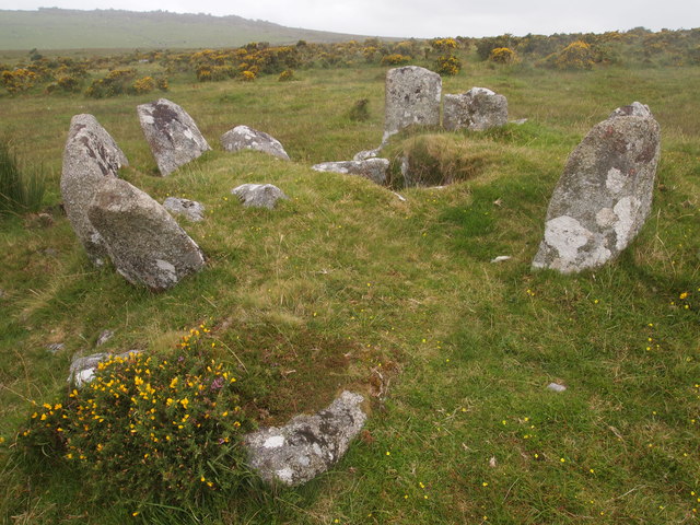
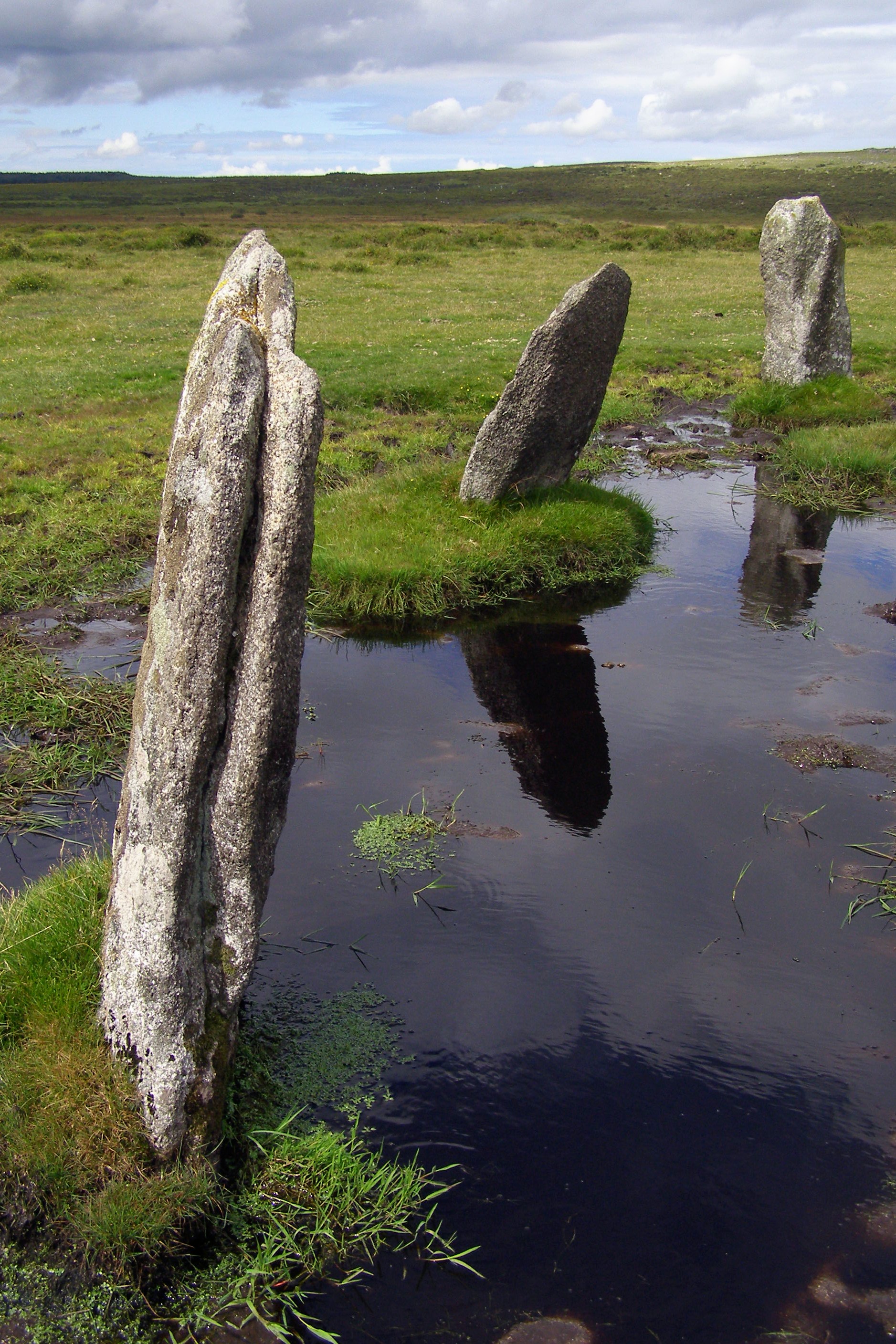
The downs also hold historical significance, with evidence of ancient settlements and stone circles scattered across the landscape. These archaeological remains provide a glimpse into the area's rich past and have attracted researchers and historians from around the world.

Bastreet Downs offers a tranquil escape for visitors, who can enjoy leisurely walks, hikes, or picnics amidst the serene surroundings. The panoramic views from the higher points of the downs are particularly breathtaking, offering sweeping vistas of the surrounding countryside.

Overall, Bastreet Downs in Cornwall is a captivating natural haven, combining stunning scenery, diverse wildlife, and a rich cultural heritage, making it a must-visit destination for nature lovers and history enthusiasts alike.

If you have any feedback on the listing, please let us know in the comments section below.

Bastreet Downs Images

Images are sourced within 2km of 50.564274/-4.4756965 or Grid Reference SX2476. Thanks to Geograph Open Source API. All images are credited.

High Rock, Kilmar Tor
Twelve Men's Moor
Twelve Men's Moor
Boulder, Twelve Men's Moor
Reconstruction of a Roundhouse, Trewortha
Cairn and Cist, Below Kilmar Tor Trewortha Tor in the distance.
Cairn and Cist, Below Kilmar Tor
Trewortha Tor in the distance.
Ford at Tressellern This ford is found at Tressellern.
Ford at Tressellern
This ford is found at Tressellern.
Milestone, Trebartha This fine milestone is of "unusual design ... in the form of a double post with two triangular heads" <span class="nowrap"><a title="http://www.historicengland.org.uk/listing/the-list/list-entry/1250154" rel="nofollow ugc noopener" href="http://www.historicengland.org.uk/listing/the-list/list-entry/1250154">Link</a><img style="margin-left:2px;" alt="External link" title="External link - shift click to open in new window" src="https://s1.geograph.org.uk/img/external.png" width="10" height="10"/></span> . The description then confuses the places and their respective distances, but the milestone itself is impeccably clear. It is also visible in <a href="https://www.geograph.org.uk/photo/4431488">SX2677 : Crossroads, Trebartha</a>.
Milestone, Trebartha
This fine milestone is of "unusual design ... in the form of a double post with two triangular heads" LinkExternal link . The description then confuses the places and their respective distances, but the milestone itself is impeccably clear. It is also visible in SX2677 : Crossroads, Trebartha.
Lane at Stonaford An oak by a lane making a brief visit to this square.
Lane at Stonaford
An oak by a lane making a brief visit to this square.
Lane past Stonaford Stones Plantation A no through road onto Bodmin Moor, seen from the same spot as <a href="https://www.geograph.org.uk/photo/4431506">SX2577 : Lane past  Stonaford House</a>.
Lane past Stonaford Stones Plantation
A no through road onto Bodmin Moor, seen from the same spot as SX2577 : Lane past Stonaford House.
Gateposts, wall and field, Stonaford A short way into the field, well before the tree and cattle, the line of view crosses into <a href="https://www.geograph.org.uk/gridref/SX2577">SX2577</a>.
Gateposts, wall and field, Stonaford
A short way into the field, well before the tree and cattle, the line of view crosses into SX2577.
Track south-west of Stonaford A private track, obstructed in the foreground, leading from the no through lane from Tresellern to Lemarnedown Plantation.
Track south-west of Stonaford
A private track, obstructed in the foreground, leading from the no through lane from Tresellern to Lemarnedown Plantation.
Lane to Stonaford The no through lane from Tresellern, seen from the same spot as <a href="https://www.geograph.org.uk/photo/4701747">SX2577 : Track south-west of Stonaford</a>, running through trees that form a western extension of Old Plantation.
Lane to Stonaford
The no through lane from Tresellern, seen from the same spot as SX2577 : Track south-west of Stonaford, running through trees that form a western extension of Old Plantation.
Lane to Tresellern The no through lane to Tresellern descends towards the stream shown in <a href="https://www.geograph.org.uk/photo/4431602">SX2377 : Stream by Industry</a>, where it ends as a public road.
Lane to Tresellern
The no through lane to Tresellern descends towards the stream shown in SX2377 : Stream by Industry, where it ends as a public road.
Lane from Tresellern The no through lane from Tresellern, with a Cornish hedge on the left, and possibly the right too.
Lane from Tresellern
The no through lane from Tresellern, with a Cornish hedge on the left, and possibly the right too.
View near Tresellern A wider angle version of the scene in <a href="https://www.geograph.org.uk/photo/4431620">SX2376 : View near Tresellern</a>, showing the wide drove-like nature of the route in the foreground, well over 20 metres in width, of which only 5 metres are occupied by the track.
View near Tresellern
A wider angle version of the scene in SX2376 : View near Tresellern, showing the wide drove-like nature of the route in the foreground, well over 20 metres in width, of which only 5 metres are occupied by the track.
Track past Tresellern Climbing from the ford near Industry <a href="https://www.geograph.org.uk/photo/4431602">SX2377 : Stream by Industry</a> and about to pass the buildings at Tresellern, the track is followed by footpath 528 1/1 onto the East Moor. This illustrates the width between walls commented on at <a href="https://www.geograph.org.uk/photo/4701859">SX2376 : View near Tresellern</a>.
Track past Tresellern
Climbing from the ford near Industry SX2377 : Stream by Industry and about to pass the buildings at Tresellern, the track is followed by footpath 528 1/1 onto the East Moor. This illustrates the width between walls commented on at SX2376 : View near Tresellern.
Gorse above East Castick Wood Seen from beside the lane to Twelve Men's Moor.
Gorse above East Castick Wood
Seen from beside the lane to Twelve Men's Moor.
Lane to Berriowbridge Skirting Bowdanoddon Wood on the right, this is the no through road from Twelve Men's Moor.
Lane to Berriowbridge
Skirting Bowdanoddon Wood on the right, this is the no through road from Twelve Men's Moor.
Show me another place!

Bastreet Downs is located at Grid Ref: SX2476 (Lat: 50.564274, Lng: -4.4756965)

Unitary Authority: Cornwall

Police Authority: Devon and Cornwall

What 3 Words

///toasters.drummers.pimples. Near North Hill, Cornwall

Related Wikis

Hawk's Tor, North Hill

Hawk's Tor is an elongated hill, 329 metres (1,079 ft) high and running from WSW to ENE, on Bodmin Moor in the county of Cornwall, England, UK. It stands...

Trebartha

Trebartha is a hamlet in Cornwall, England, United Kingdom, in the parish of North Hill and in the valley of the River Lynher. == History == The manor...

Nine Stones, Altarnun

The Nine Stones (or Altarnun stone circle) is a stone circle 3 kilometres (1.9 mi) south southeast of Altarnun, 11 kilometres (6.8 mi) west of Launceston...

North Hill, Cornwall

North Hill (Cornish: Bre Gledh) is a village and civil parish in Cornwall, England, United Kingdom. The village is situated on the east side of the River...

Have you been to Bastreet Downs?

Leave your review of Bastreet Downs below (or comments, questions and feedback).