No Man's Land

Downs, Moorland in Cornwall

England

No Man's Land

Former Free United Church
Former Free United Church Credit: Paul Barnett

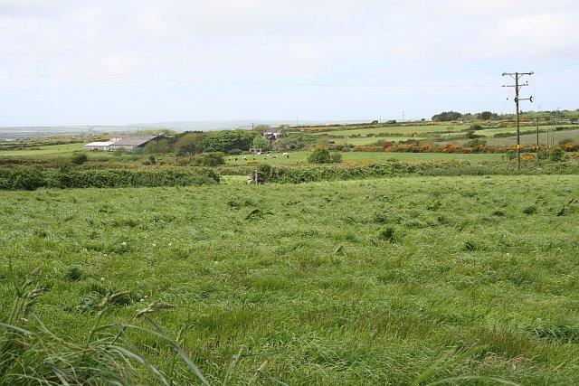
No Man's Land, Cornwall, is a vast expanse of open countryside located in the southwestern region of England. Spread across the Downs and Moorland, this area is characterized by its rugged and untamed beauty. Stretching over 300 square miles, No Man's Land offers visitors a unique opportunity to experience the natural wonders of Cornwall.

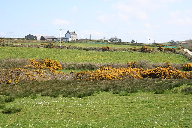
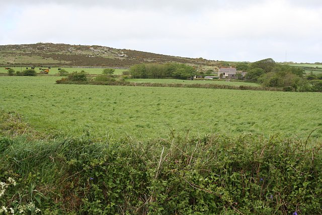
The Downs of No Man's Land are known for their rolling hills and expansive grasslands. The landscape here is dotted with ancient burial mounds, standing stones, and remnants of old settlements, providing a glimpse into the area's rich history. The Downs also offer breathtaking panoramic views of the surrounding countryside, making it a popular destination for hikers and nature enthusiasts.

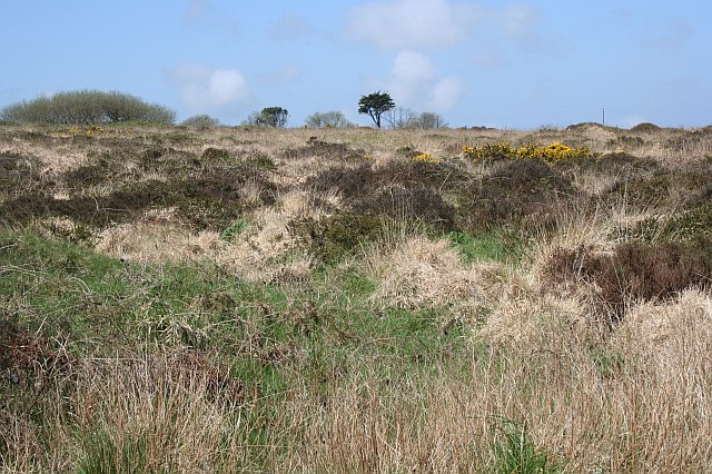
In contrast, the Moorland of No Man's Land presents a more rugged and wild terrain. Here, visitors can explore vast stretches of heather-covered hills, rocky outcrops, and peat bogs. The moorland is home to a variety of wildlife, including rare bird species, ponies, and wild deer. It is a haven for birdwatchers and photographers, offering ample opportunities to capture the beauty of nature.

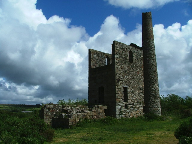
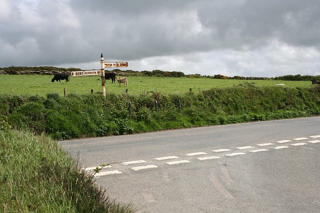
No Man's Land is also known for its numerous walking trails and cycling routes, allowing visitors to immerse themselves in the stunning countryside. Along these paths, one can discover hidden valleys, babbling brooks, and ancient woodlands. The area is also rich in archaeological sites, with remnants of Iron Age settlements and medieval ruins scattered throughout.

Overall, No Man's Land, Cornwall, is a captivating landscape that showcases the untouched beauty of England's southwest. Whether exploring the rolling Downs or venturing through the rugged Moorland, visitors are sure to be enchanted by the natural wonders that this area has to offer.

If you have any feedback on the listing, please let us know in the comments section below.

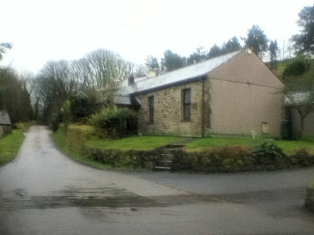
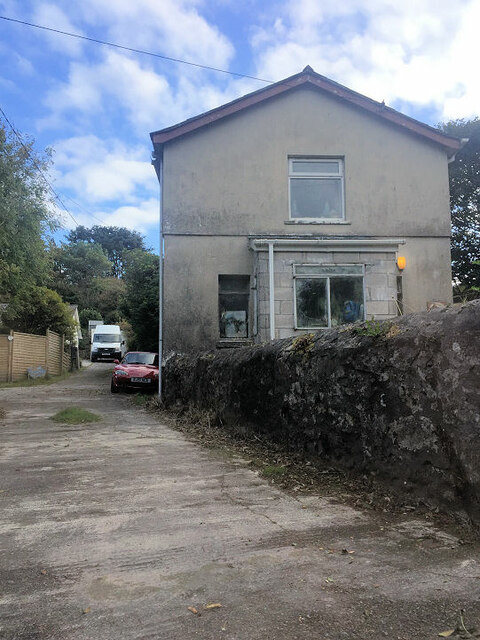
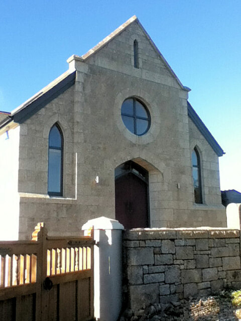
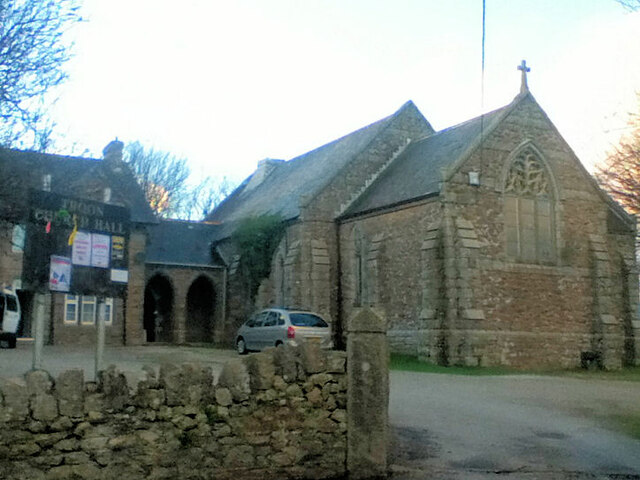
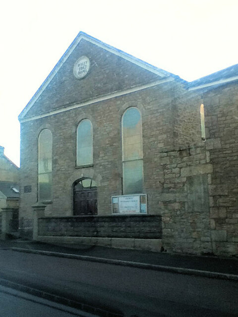
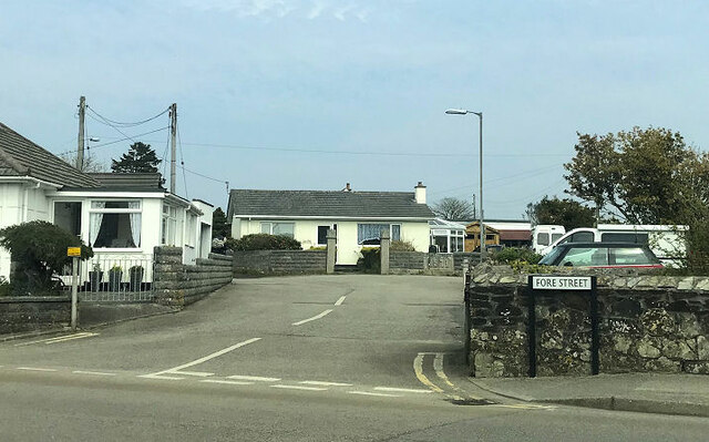
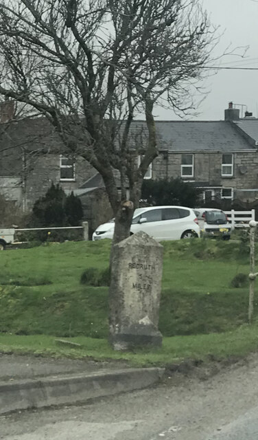
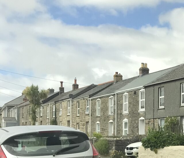
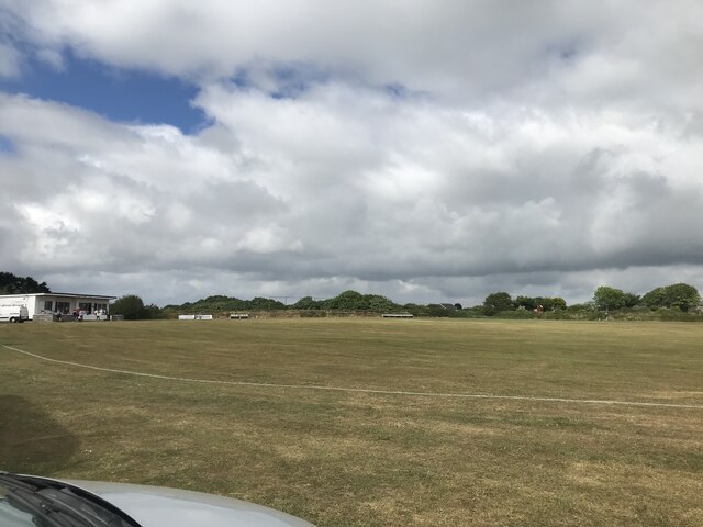
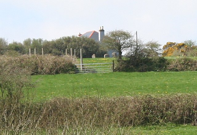
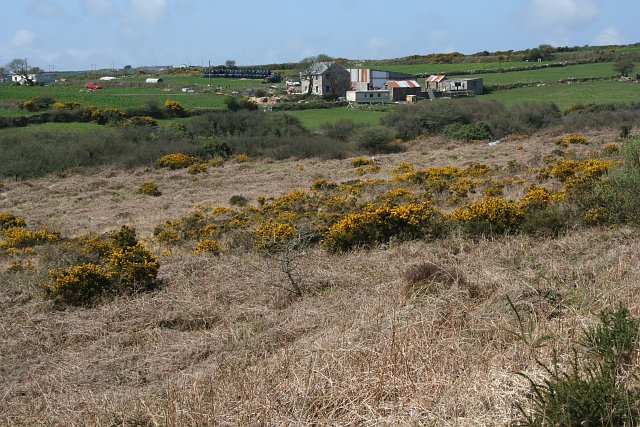
No Man's Land Images

Images are sourced within 2km of 50.182818/-5.2687471 or Grid Reference SW6636. Thanks to Geograph Open Source API. All images are credited.

Former Free United Church
Former Wesleyan Methodist Chapel
Plantation Chapel
Plantation Chapel
Former Mission Church with adjoining Sunday School at left
Troon Methodist Church
Chapel Square leading to Chapel Farm
Old Milestone by the B3297 in Burras Carved stone post by the B3297, in parish of Wendron (Kerrier District), Burhos, Burras village green, beside clapper bridge, on West side of road. Erected by the Local Highways Board in the 19th century. 

Inscription reads:-
REDRUTH / 5 / MILES : : HELSTON / 5 / MILES 

Grade II Listed. List Entry Number: 1142022
<span class="nowrap"><a title="https://historicengland.org.uk/listing/the-list/list-entry/1142022" rel="nofollow ugc noopener" href="https://historicengland.org.uk/listing/the-list/list-entry/1142022">Link</a><img style="margin-left:2px;" alt="External link" title="External link - shift click to open in new window" src="https://s1.geograph.org.uk/img/external.png" width="10" height="10"/></span>

Milestone Society National ID: CW_RRHL05
Old Milestone by the B3297 in Burras
Carved stone post by the B3297, in parish of Wendron (Kerrier District), Burhos, Burras village green, beside clapper bridge, on West side of road. Erected by the Local Highways Board in the 19th century. Inscription reads:- REDRUTH / 5 / MILES : : HELSTON / 5 / MILES Grade II Listed. List Entry Number: 1142022 LinkExternal link Milestone Society National ID: CW_RRHL05
Terraced houses
Terraced houses
Troon cricket ground on match day
Goold's Engine House Set off to the northeast of the Grenville United Mine, on Newton Moor, lies the remains of Goold's Engine House
Goold's Engine House
Set off to the northeast of the Grenville United Mine, on Newton Moor, lies the remains of Goold's Engine House
Nine Maidens - a long shot The Nine Maidens is the remains of an ancient stone circle.  The OS map shows a path leading past the stones but it is unmarked and access has been blocked.  This photograph, taken from the base of the hill, shows three of the stones in the field next to the house.
Nine Maidens - a long shot
The Nine Maidens is the remains of an ancient stone circle. The OS map shows a path leading past the stones but it is unmarked and access has been blocked. This photograph, taken from the base of the hill, shows three of the stones in the field next to the house.
Calvadnack and Farmland Calvadnack is an area of open access heathland.  There is a footpath marked on the OS map crossing it from north to south, however the footpath could not be found.  The northern half of Calvadnack is used for rough cattle grazing and is passable but the vegetation makes the southern half impassable, even in the springtime before the bracken has regrown.
Calvadnack and Farmland
Calvadnack is an area of open access heathland. There is a footpath marked on the OS map crossing it from north to south, however the footpath could not be found. The northern half of Calvadnack is used for rough cattle grazing and is passable but the vegetation makes the southern half impassable, even in the springtime before the bracken has regrown.
Heathland This area of heathland is sat in a triangle between roads near Nine Maidens Down.
Heathland
This area of heathland is sat in a triangle between roads near Nine Maidens Down.
Polgear Farm This is typical of the farmland in this area with some quite small fields and almost all pasture.  As it is Spring the golden flowers of common gorse are at their peak.
Polgear Farm
This is typical of the farmland in this area with some quite small fields and almost all pasture. As it is Spring the golden flowers of common gorse are at their peak.
Southern Slope of Crowan Beacon Pasture land gives way to heathland where the granite boulders become too large and numerous on the higher hills.
Southern Slope of Crowan Beacon
Pasture land gives way to heathland where the granite boulders become too large and numerous on the higher hills.
Road Junction near Blackrock Farm There is a small scattering of houses and a couple of farms here.
Road Junction near Blackrock Farm
There is a small scattering of houses and a couple of farms here.
Cargenwen Looking diagonally across the square from the southeast corner.
Cargenwen
Looking diagonally across the square from the southeast corner.
Road Junction and Crowan Beacon This shot looks up to the edge of the heathland at the summit of Crowan Beacon.
Road Junction and Crowan Beacon
This shot looks up to the edge of the heathland at the summit of Crowan Beacon.
Show me another place!

No Man's Land is located at Grid Ref: SW6636 (Lat: 50.182818, Lng: -5.2687471)

Unitary Authority: Cornwall

Police Authority: Devon and Cornwall

What 3 Words

///january.masterful.cassettes. Near Four Lanes, Cornwall

Nearby Locations

Boswyn No Man's Land

Related Wikis

Boswyn

Boswyn is a hamlet in west Cornwall, England, United Kingdom, approximately one mile south of Troon. It is in the civil parish of Camborne. == References ==

Croft Mitchell

Croft Mitchell is a hamlet in the parish of Camborne, Cornwall, England. == References ==

Nine Maidens Downs

Nine Maidens Downs is a moorland southwest of Four Lanes in Cornwall, England, UK. == Stone circles == The name Nine Maidens comes from two Early Bronze...

Bolenowe

Bolenowe (Cornish: Boslenow, meaning dwelling of strip-fields) is a village in west Cornwall, England, United Kingdom. It is approximately one-and-a-half...

Nearby Amenities

Located within 500m of 50.182818,-5.2687471
Barrier: stile
Lat/Long: 50.1847612/-5.2640918
Place: farm
Lat/Long: 50.1849143/-5.2727552
Power: pole
Lat/Long: 50.1840469/-5.2662118
Power: pole
Lat/Long: 50.1860706/-5.2659923
Power: pole
Lat/Long: 50.1850498/-5.2667776
Power: pole
Lat/Long: 50.186074/-5.2673213
Power: pole
Lat/Long: 50.1871949/-5.2679497
Barrier: entrance
Lat/Long: 50.182672/-5.2665617
Barrier: stile
Lat/Long: 50.1836484/-5.2630654
Barrier: stile
Lat/Long: 50.1852267/-5.2645621
Barrier: stile
Lat/Long: 50.1862013/-5.2657409
Power: pole
Source: bing;wpd_open_data
Lat/Long: 50.1862261/-5.2647912
Power: pole
Source: bing;wpd_open_data
Lat/Long: 50.181784/-5.2646027
Power: pole
Source: bing;wpd_open_data
Lat/Long: 50.182951/-5.2654245
Power: pole
Source: bing;wpd_open_data
Lat/Long: 50.1840998/-5.2721856
Power: pole
Source: bing;wpd_open_data
Lat/Long: 50.18418/-5.2713064
Power: pole
Source: bing;wpd_open_data
Lat/Long: 50.1842601/-5.2703021
Power: pole
Source: bing;wpd_open_data
Lat/Long: 50.1843539/-5.2691923
Power: pole
Source: bing;wpd_open_data
Lat/Long: 50.1848535/-5.2686461
Power: pole
Source: bing;wpd_open_data
Lat/Long: 50.1855969/-5.2678562
The data included in this document is from www.openstreetmap.org. The data is made available under ODbL.

Have you been to No Man's Land?

Leave your review of No Man's Land below (or comments, questions and feedback).