Newton Moor

Downs, Moorland in Cornwall

England

Newton Moor

Wheal Grenville Fortesque's shaft and whim The impressive engine house at Fortesque's shaft with the drawing whim beyond. See
<a title="https://www.geograph.org.uk/photo/4131867" href="https://www.geograph.org.uk/photo/4131867">Link</a> for more details.
Wheal Grenville Fortesque's shaft and whim Credit: Richard Bird

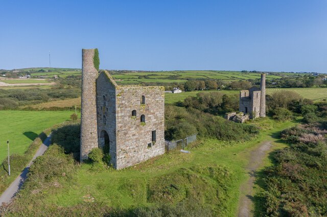
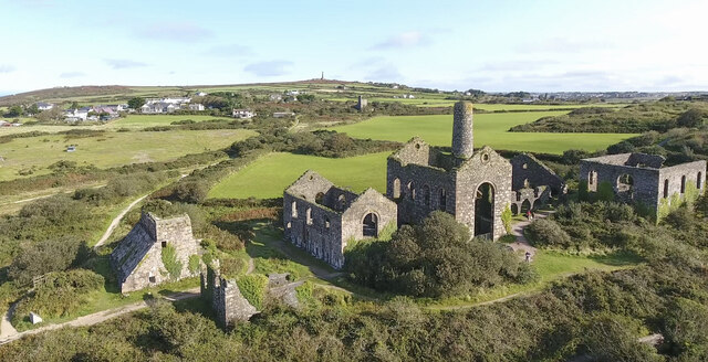
Newton Moor is a picturesque area located in Cornwall, England. Stretching across vast expanses of rolling downs and moorland, it offers visitors a breathtaking natural landscape that is both serene and captivating.

Covering an area of approximately 200 acres, Newton Moor is a haven for nature lovers and outdoor enthusiasts. The moorland is characterized by its unique mix of heather, gorse, and grasses, creating a vibrant tapestry of colors throughout the year. In the spring, the moorland comes alive with a burst of wildflowers, adding to its charm.

The undulating downs of Newton Moor provide stunning views of the surrounding countryside and the nearby coastline. Visitors can enjoy leisurely walks along the well-maintained footpaths, taking in the panoramic vistas and observing the diverse wildlife that inhabits the area. The moorland is home to a variety of bird species, including skylarks and kestrels, making it an ideal spot for birdwatching enthusiasts.

For those seeking a peaceful retreat, Newton Moor offers a tranquil atmosphere, perfect for relaxation and reflection. The quietude of the moorland is only occasionally interrupted by the rustling of the wind through the grass or the distant call of a bird.

Newton Moor is easily accessible by car, with ample parking available for visitors. It is also well-connected to the surrounding towns and villages through public transportation. The moorland is open to the public year-round and offers a unique opportunity to explore and connect with nature in one of Cornwall's most beautiful locations.

If you have any feedback on the listing, please let us know in the comments section below.
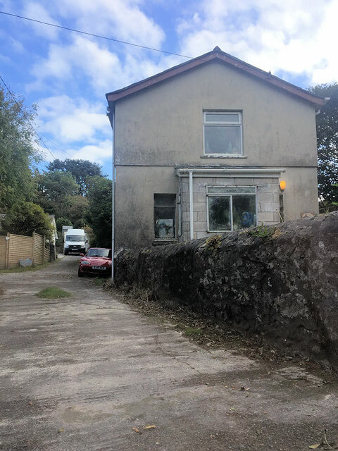
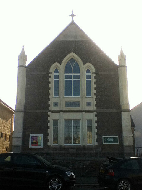
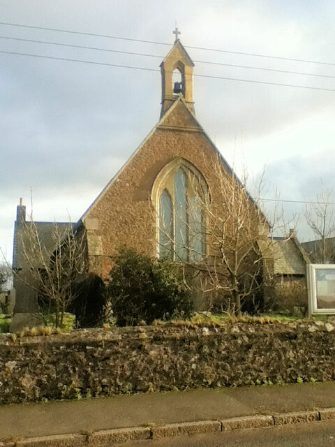
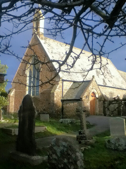
Newton Moor Images

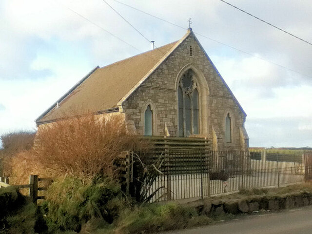
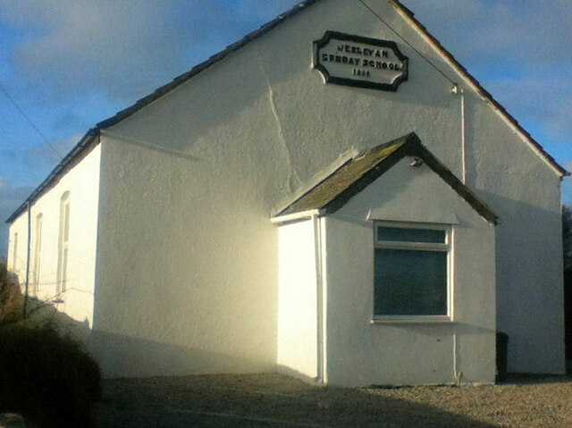
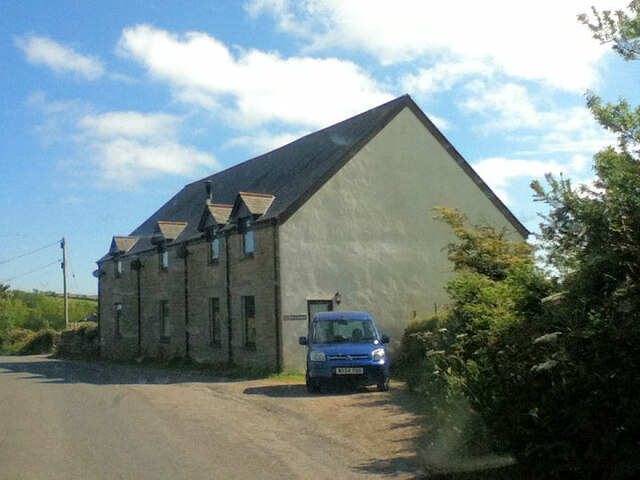
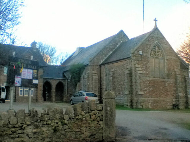
Images are sourced within 2km of 50.205093/-5.2674246 or Grid Reference SW6639. Thanks to Geograph Open Source API. All images are credited.

Wheal Grenville Fortesque's shaft and whim The impressive engine house at Fortesque's shaft with the drawing whim beyond. See
<a title="https://www.geograph.org.uk/photo/4131867" href="https://www.geograph.org.uk/photo/4131867">Link</a> for more details.
Wheal Grenville Fortesque's shaft and whim
The impressive engine house at Fortesque's shaft with the drawing whim beyond. See Link for more details.
South Frances Mine ruins Widely regarded as the finest group of mining remains in Cornwall, South Frances is located on the Great Flat Lode. Working into the 1900s this site was the scene of the last-ditch attempt to mine this lode in depth, with an up-to-date new steam pump installed in the cathedral-like ruins. It was intended to eventually sink the shaft to 500 fathoms (3000 feet, 914 metres) but ingress of water from other nearby closed mines caused the mission to be eventually abandoned. The collar of the shaft has been safely covered by a grille which allows a view into the massive brick-lined shaft.  A large ore bin, miners' dry, boiler house and other sundry buildings complete with fine site.
South Frances Mine ruins
Widely regarded as the finest group of mining remains in Cornwall, South Frances is located on the Great Flat Lode. Working into the 1900s this site was the scene of the last-ditch attempt to mine this lode in depth, with an up-to-date new steam pump installed in the cathedral-like ruins. It was intended to eventually sink the shaft to 500 fathoms (3000 feet, 914 metres) but ingress of water from other nearby closed mines caused the mission to be eventually abandoned. The collar of the shaft has been safely covered by a grille which allows a view into the massive brick-lined shaft. A large ore bin, miners' dry, boiler house and other sundry buildings complete with fine site.
Beacon Methodist Church
Former Free United Church
Former Wesleyan Methodist Chapel
Beacon Methodist Church
Carnkie Methodist Church
Carnkie Community Institute
St Andrew's Church
St Andrew's Church
St Andrew's Church
St Andrew's Church
Former Wesleyan Methodist Chapel
Former Wesleyan Sunday School
Former chapel
Former chapel
Former Mission Church with adjoining Sunday School at left
Troon Methodist Church
Chapel Square leading to Chapel Farm
Troon Cemetery
Troon Cemetery
South Wheal Frances
South Wheal Frances
Show me another place!

Newton Moor is located at Grid Ref: SW6639 (Lat: 50.205093, Lng: -5.2674246)

Unitary Authority: Cornwall

Police Authority: Devon and Cornwall

What 3 Words

///correctly.reduce.imperious. Near Four Lanes, Cornwall

Related Wikis

King Edward Mine

The King Edward Mine at Camborne, Cornwall, in the United Kingdom is a mine wholly owned by Cornwall Council. At the end of the 19th century students at...

Brea, Cornwall

Brea (Cornish: Bre) is a village in Cornwall, England, UK, between the towns of Camborne and Redruth. It is in the civil parish of Carn Brea and consists...

Carn Arthen

Carn Arthen (Cornish: Karn Arthur, meaning Arthur's rock-pile) is farmstead 1.7 miles (2.7 km) south-east of Camborne near to Tuckingmill in Cornwall,...

Higher Condurrow

Higher Condurrow is a hamlet in the parish of Camborne, Cornwall, England. == Cornish wrestling == Cornish wrestling tournaments, have been held at Lower...

Nearby Amenities

Located within 500m of 50.205093,-5.2674246
Historic: yes
Man Made: chimney
Ruins: yes
Lat/Long: 50.2060914/-5.2637826
Historic: yes
Man Made: chimney
Ruins: yes
Lat/Long: 50.2035865/-5.2691998
Historic: yes
Man Made: chimney
Ruins: yes
Lat/Long: 50.204165/-5.2696289
Barrier: kissing_gate
Lat/Long: 50.2034675/-5.2721722
Barrier: stile
Lat/Long: 50.2041371/-5.2702893
Power: pole
Source: approximate
Lat/Long: 50.2014801/-5.2703824
Power: pole
Source: approximate
Lat/Long: 50.2036514/-5.266749
Power: pole
Source: approximate
Lat/Long: 50.2039435/-5.2676331
Power: pole
Source: approximate
Lat/Long: 50.2039435/-5.268816
Power: pole
Source: approximate
Lat/Long: 50.2039607/-5.2683386
Power: pole
Source: approximate
Lat/Long: 50.2040437/-5.2698735
Power: pole
Source: approximate
Lat/Long: 50.2042789/-5.2699003
Power: pole
Source: approximate
Lat/Long: 50.2050137/-5.2695221
Power: pole
Source: approximate
Lat/Long: 50.2054429/-5.2692968
Power: pole
Source: approximate
Lat/Long: 50.2027121/-5.2703595
Power: pole
Source: approximate
Lat/Long: 50.2029402/-5.2704708
Power: pole
Source: approximate
Lat/Long: 50.2029533/-5.2703139
Power: pole
Source: approximate
Lat/Long: 50.2032087/-5.2711852
Power: pole
Source: approximate
Lat/Long: 50.2035387/-5.2721347
Power: pole
Source: approximate
Lat/Long: 50.2038207/-5.2701437
Power: pole
Source: approximate
Lat/Long: 50.2040663/-5.2735813
Power: pole
Source: approximate
Lat/Long: 50.2059343/-5.2697199
Power: pole
Source: approximate
Lat/Long: 50.2069599/-5.2705971
Barrier: kissing_gate
Lat/Long: 50.2040111/-5.2736745
Power: pole
Lat/Long: 50.2072988/-5.2684564
Power: pole
Lat/Long: 50.2067568/-5.2666247
Power: pole
Lat/Long: 50.2067431/-5.2671987
Power: pole
Lat/Long: 50.2067551/-5.2677271
Power: pole
Lat/Long: 50.2066418/-5.2693525
Power: pole
Lat/Long: 50.2067019/-5.2686632
Power: pole
Lat/Long: 50.2067448/-5.2680355
Barrier: entrance
Lat/Long: 50.2034521/-5.2619201
Barrier: entrance
Lat/Long: 50.20372/-5.2609384
Power: pole
Lat/Long: 50.2043602/-5.2648169
Barrier: stile
Lat/Long: 50.2036309/-5.2723374
Barrier: kissing_gate
Lat/Long: 50.2036793/-5.272334
Power: pole
Source: bing;wpd_open_data
Lat/Long: 50.204577/-5.2632836
Power: pole
Source: bing;wpd_open_data
Lat/Long: 50.2048306/-5.2614897
Power: pole
Source: bing;wpd_open_data
Lat/Long: 50.2018492/-5.2654248
Power: pole
Source: bing;wpd_open_data
Lat/Long: 50.2023389/-5.2656205
Power: pole
Source: bing;wpd_open_data
Lat/Long: 50.2034977/-5.2663092
Power: pole
Source: bing;wpd_open_data
Lat/Long: 50.204181/-5.2661039
Power: pole
Source: bing;wpd_open_data
Lat/Long: 50.2040941/-5.2671774
Power: pole
Source: bing;wpd_open_data
Lat/Long: 50.203422/-5.2702153
Power: pole
Source: bing;wpd_open_data
Lat/Long: 50.2071897/-5.2724975
Power: pole
Source: bing;wpd_open_data
Lat/Long: 50.2079402/-5.2714274
Power: pole
Source: bing;wpd_open_data
Lat/Long: 50.2075263/-5.2670344
The data included in this document is from www.openstreetmap.org. The data is made available under ODbL.

Have you been to Newton Moor?

Leave your review of Newton Moor below (or comments, questions and feedback).