Chycarn Moor

Downs, Moorland in Cornwall

England

Chycarn Moor

Wheal Grenville Fortesque's shaft and whim The impressive engine house at Fortesque's shaft with the drawing whim beyond. See
<a title="https://www.geograph.org.uk/photo/4131867" href="https://www.geograph.org.uk/photo/4131867">Link</a> for more details.
Wheal Grenville Fortesque's shaft and whim Credit: Richard Bird

Chycarn Moor, located in Cornwall, England, is a stunning expanse of downs and moorland that offers visitors a unique and captivating natural experience. Covering an area of approximately 5 square kilometers, the moor is situated in the southeastern part of Cornwall, near the village of Liskeard.

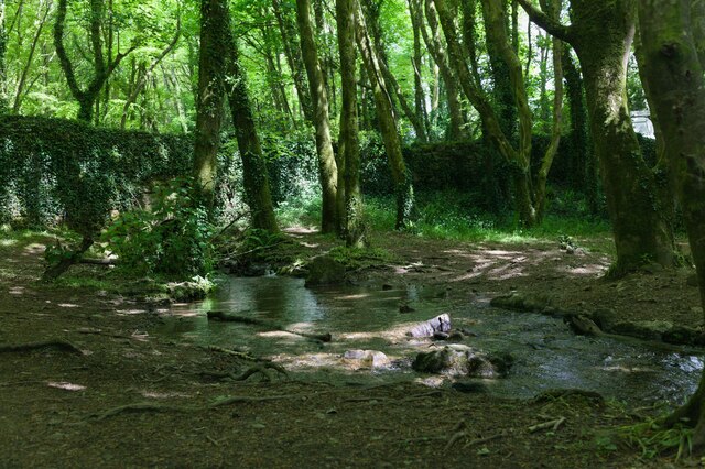
Chycarn Moor boasts a rich diversity of flora and fauna, making it a haven for nature enthusiasts and wildlife lovers. The moorland is characterized by its vibrant heather and gorse vegetation, which adds a splash of color to the landscape, particularly during the summer months. The area is also home to a variety of bird species, including skylarks, stonechats, and curlews, making it a popular spot for birdwatching.

Walking and hiking enthusiasts will find plenty to explore on Chycarn Moor, as the area is crisscrossed with several well-marked trails. These paths wind through the moor, offering breathtaking views of the surrounding countryside and distant hills. The trails range in difficulty, catering to both casual strollers and more experienced hikers.

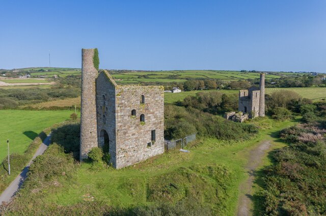
In addition to its natural beauty, Chycarn Moor also holds historical significance. The moor is dotted with ancient stone circles, burial mounds, and remnants of Bronze Age settlements, providing a glimpse into the area's rich past. Archaeological enthusiasts can spend hours exploring these intriguing relics and immersing themselves in Cornwall's ancient history.

Chycarn Moor truly offers a tranquil escape from the hustle and bustle of everyday life. Its picturesque scenery, diverse wildlife, and historical treasures make it a must-visit destination for nature lovers and history buffs alike.

If you have any feedback on the listing, please let us know in the comments section below.

Chycarn Moor Images

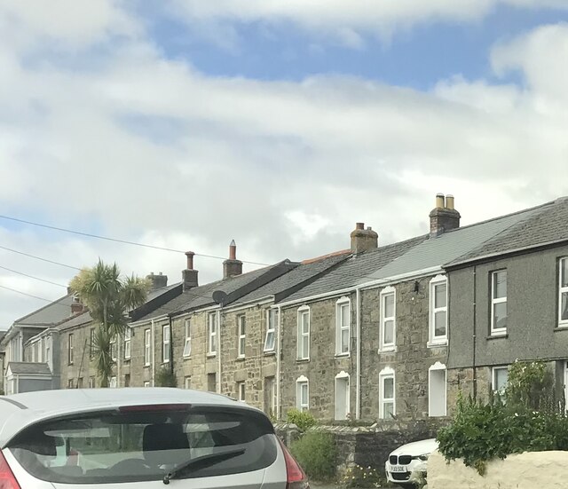
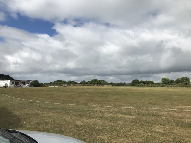
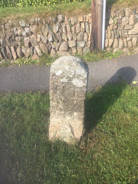
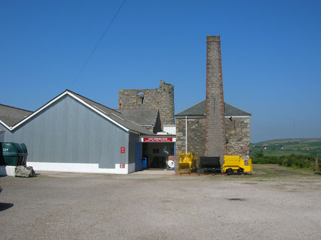
Images are sourced within 2km of 50.191326/-5.2700853 or Grid Reference SW6637. Thanks to Geograph Open Source API. All images are credited.

Wheal Grenville Fortesque's shaft and whim The impressive engine house at Fortesque's shaft with the drawing whim beyond. See
<a title="https://www.geograph.org.uk/photo/4131867" href="https://www.geograph.org.uk/photo/4131867">Link</a> for more details.
Wheal Grenville Fortesque's shaft and whim
The impressive engine house at Fortesque's shaft with the drawing whim beyond. See Link for more details.
Former Free United Church
Former Wesleyan Methodist Chapel
Former Wesleyan Sunday School
Plantation Chapel
Plantation Chapel
St. John's Church
St. John's Church
Former Mission Church with adjoining Sunday School at left
Troon Methodist Church
Chapel Square leading to Chapel Farm
Troon Cemetery
Troon Cemetery
Stream flows under the road The stream flows through woodland and under the road.
Stream flows under the road
The stream flows through woodland and under the road.
Woodland track Track through woodland.
Woodland track
Track through woodland.
Roadside woodland Woodland beside the road.
Roadside woodland
Woodland beside the road.
Terraced houses
Terraced houses
Troon cricket ground on match day
Old Boundary Marker on Pendarves Street, Beacon Boundary Marker on the grass verge outside No.62 on the west side of Pendarves Street. Camborne parish. Inscribed N T and S T. The function of this stone is unclear as neither a boundary nor the stone are marked on any OS maps.

Milestone Society National ID: CW_CAMB03bm
Old Boundary Marker on Pendarves Street, Beacon
Boundary Marker on the grass verge outside No.62 on the west side of Pendarves Street. Camborne parish. Inscribed N T and S T. The function of this stone is unclear as neither a boundary nor the stone are marked on any OS maps. Milestone Society National ID: CW_CAMB03bm
King Edward Mine King Edward mine (just outside of Troon) has recently been turned into a visitor centre all about the mine and Cornish mining.
King Edward Mine
King Edward mine (just outside of Troon) has recently been turned into a visitor centre all about the mine and Cornish mining.
Show me another place!

Chycarn Moor is located at Grid Ref: SW6637 (Lat: 50.191326, Lng: -5.2700853)

Unitary Authority: Cornwall

Police Authority: Devon and Cornwall

What 3 Words

///bounding.trouser.trappings. Near Four Lanes, Cornwall

Related Wikis

Croft Mitchell

Croft Mitchell is a hamlet in the parish of Camborne, Cornwall, England. == References ==

Bolenowe

Bolenowe (Cornish: Boslenow, meaning dwelling of strip-fields) is a village in west Cornwall, England, United Kingdom. It is approximately one-and-a-half...

Boswyn

Boswyn is a hamlet in west Cornwall, England, United Kingdom, approximately one mile south of Troon. It is in the civil parish of Camborne. == References ==

Troon, Cornwall

Troon (Cornish: Trewoon) is a village in Cornwall, UK, 1+1⁄2 miles (2.5 kilometres) southeast of Camborne. The village lies at around 560 feet (170 m)...

Nearby Amenities

Located within 500m of 50.191326,-5.2700853
Bus Stop
Primrose Cottage
Bus: yes
Naptan AtcoCode: 0800COD40948
Naptan Bearing: E
Naptan CommonName: Primrose Cottage
Naptan NaptanCode: corajwtp
Naptan Street: Unclassified
Naptan Verified: no
Public Transport: platform
Source: naptan_import
Lat/Long: 50.1876611/-5.2701905
Bus Stop
Primrose Cottage
Bus: yes
Naptan AtcoCode: 0800COD40949
Naptan Bearing: W
Naptan CommonName: Primrose Cottage
Naptan Indicator: Opp
Naptan NaptanCode: corajwtw
Naptan Street: Unclassified
Naptan Verified: no
Public Transport: platform
Source: naptan_import
Lat/Long: 50.1875806/-5.270171
Bus Stop
Mentrelyer
Bus: yes
Naptan AtcoCode: 0800FWX38522
Naptan Bearing: N
Naptan CommonName: Mentrelyer
Naptan NaptanCode: corajwpt
Naptan Street: Unclassified
Naptan Verified: no
Public Transport: platform
Source: naptan_import
Lat/Long: 50.1876057/-5.2711956
Barrier: entrance
Lat/Long: 50.1908676/-5.2689686
Barrier: stile
Lat/Long: 50.1899022/-5.2709249
Barrier: stile
Lat/Long: 50.1935772/-5.2641825
Barrier: stile
Lat/Long: 50.1909604/-5.268995
Power: pole
Source: approximate
Lat/Long: 50.1887096/-5.274815
Power: pole
Lat/Long: 50.1892979/-5.2739263
Power: pole
Source: approximate
Lat/Long: 50.1899796/-5.2729016
Power: pole
Source: approximate
Lat/Long: 50.1907953/-5.2716679
Power: pole
Source: approximate
Lat/Long: 50.1916278/-5.2704092
Power: pole
Source: approximate
Lat/Long: 50.1924439/-5.2703858
Power: pole
Source: approximate
Lat/Long: 50.1932338/-5.270375
Power: pole
Source: approximate
Lat/Long: 50.1940546/-5.2703777
Power: pole
Source: approximate
Lat/Long: 50.1952685/-5.2703697
Barrier: stile
Lat/Long: 50.1954649/-5.2682575
Power: pole
Lat/Long: 50.1930512/-5.2674843
Power: pole
Lat/Long: 50.193519/-5.266726
Power: pole
Lat/Long: 50.1871949/-5.2679497
Power: pole
Lat/Long: 50.1876809/-5.2682152
Power: pole
Lat/Long: 50.1887319/-5.2687946
Power: pole
Lat/Long: 50.1895317/-5.2692506
Information: board
Tourism: information
Lat/Long: 50.1909764/-5.2654301
Information: board
Tourism: information
Lat/Long: 50.1903485/-5.2644762
Barrier: entrance
Lat/Long: 50.1905805/-5.2678572
Barrier: stile
Lat/Long: 50.1903131/-5.2706508
Barrier: stile
Lat/Long: 50.1895193/-5.2714527
Barrier: stile
Lat/Long: 50.1904708/-5.2658435
Barrier: stile
Lat/Long: 50.1895527/-5.2684781
Barrier: block
Lat/Long: 50.1923898/-5.2677284
Barrier: entrance
Entrance: yes
Lat/Long: 50.193128/-5.2664302
Barrier: stile
Lat/Long: 50.1918478/-5.2667408
Barrier: stile
Lat/Long: 50.1921417/-5.2674299
Barrier: stile
Lat/Long: 50.1909858/-5.2654506
Information: board
Tourism: information
Lat/Long: 50.1935652/-5.2642053
Information: guidepost
Tourism: information
Lat/Long: 50.1944302/-5.2656711
Barrier: stile
Lat/Long: 50.1944396/-5.2656652
Generator Method: photovoltaic
Generator Output Electricity: small_installation
Generator Source: solar
Generator Type: solar_photovoltaic_panel
Location: roof
Power: generator
Source: bing
Lat/Long: 50.1911704/-5.269897
Generator Method: photovoltaic
Generator Output Electricity: small_installation
Generator Source: solar
Generator Type: solar_photovoltaic_panel
Location: roof
Power: generator
Source: bing
Lat/Long: 50.1931598/-5.2677941
Power: pole
Source: bing;wpd_open_data
Lat/Long: 50.1923013/-5.2750841
Power: pole
Source: bing;wpd_open_data
Lat/Long: 50.1921767/-5.2766862
Power: pole
Source: bing;wpd_open_data
Lat/Long: 50.1914679/-5.2761768
Power: pole
Source: bing;wpd_open_data
Lat/Long: 50.190321/-5.2757222
Power: pole
Source: bing;wpd_open_data
Lat/Long: 50.1894846/-5.2752862
Power: pole
Source: bing;wpd_open_data
Lat/Long: 50.1887379/-5.2749035
Power: pole
Source: bing;wpd_open_data
Lat/Long: 50.1940684/-5.2658545
Power: pole
Source: bing;wpd_open_data
Lat/Long: 50.1925879/-5.2686705
Power: pole
Source: bing;wpd_open_data
Lat/Long: 50.1922394/-5.2695604
Power: pole
Source: bing;wpd_open_data
Lat/Long: 50.1906402/-5.2698621
Power: pole
Source: bing;wpd_open_data
Lat/Long: 50.1914473/-5.2703221
The data included in this document is from www.openstreetmap.org. The data is made available under ODbL.

Have you been to Chycarn Moor?

Leave your review of Chycarn Moor below (or comments, questions and feedback).