Croft Mitchell

Settlement in Cornwall

England

Croft Mitchell

Wheal Grenville Fortesque's shaft and whim The impressive engine house at Fortesque's shaft with the drawing whim beyond. See
<a title="https://www.geograph.org.uk/photo/4131867" href="https://www.geograph.org.uk/photo/4131867">Link</a> for more details.
Wheal Grenville Fortesque's shaft and whim Credit: Richard Bird

Croft Mitchell is a charming village located in the county of Cornwall, in the southwestern part of England. Situated near the picturesque coastline, it offers stunning views of the Atlantic Ocean and is surrounded by rolling green hills and lush countryside.

The village is known for its peaceful and serene atmosphere, making it an ideal destination for those seeking a relaxing getaway. Croft Mitchell boasts a small population, creating a close-knit community where locals warmly welcome visitors.

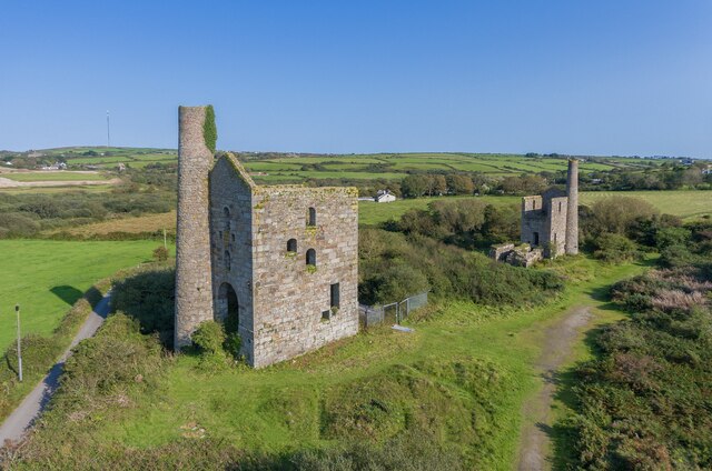
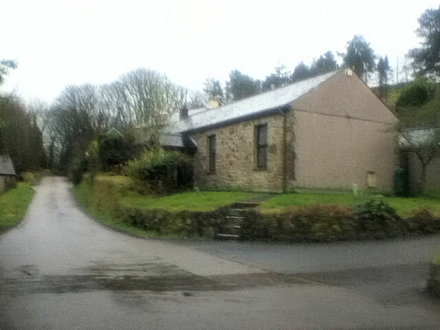
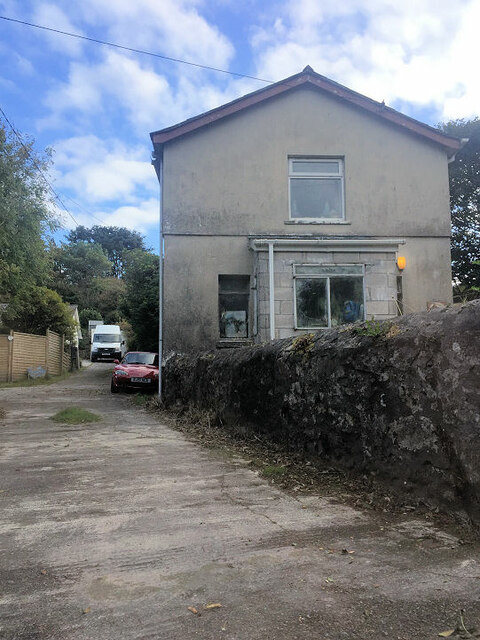
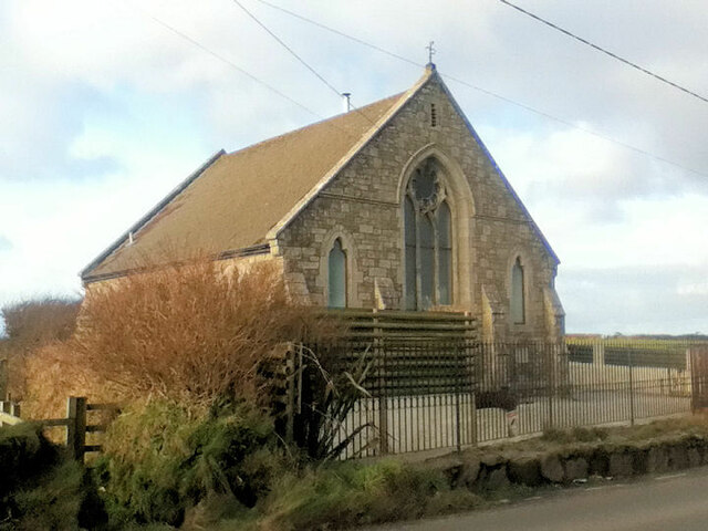
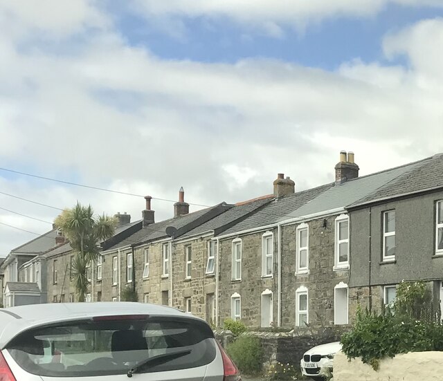
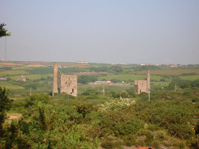
One of the prominent features of Croft Mitchell is its historical charm. The village is dotted with traditional stone cottages, some of which date back several centuries. These well-preserved buildings provide a glimpse into the village's rich heritage and architectural beauty.

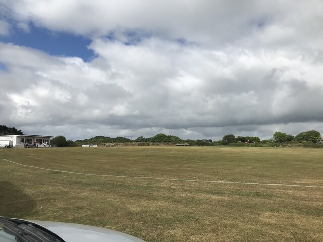
Nature enthusiasts will find themselves in paradise in Croft Mitchell. The surrounding area is a haven for outdoor activities, with numerous walking trails and cycling routes that allow visitors to explore the stunning Cornish countryside. Additionally, the village is a short distance away from several beautiful beaches, offering opportunities for swimming, sunbathing, and water sports.

For those interested in exploring the local culture, Croft Mitchell hosts various events throughout the year, including traditional festivals and fairs. The village also features a handful of quaint shops, local pubs, and eateries where visitors can sample delicious Cornish cuisine.

Overall, Croft Mitchell offers a tranquil retreat that combines natural beauty, historical charm, and a friendly community, making it a must-visit destination for anyone seeking an authentic Cornish experience.

If you have any feedback on the listing, please let us know in the comments section below.

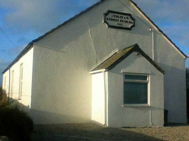
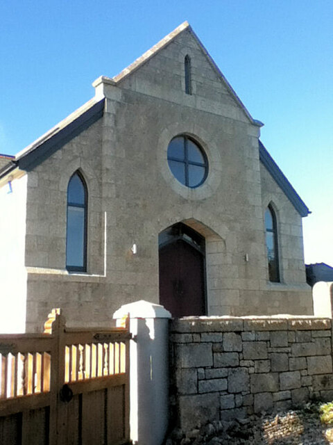
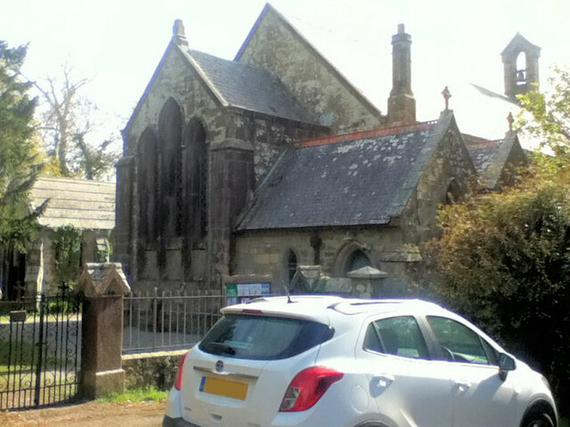
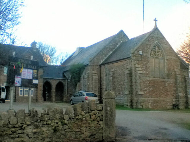
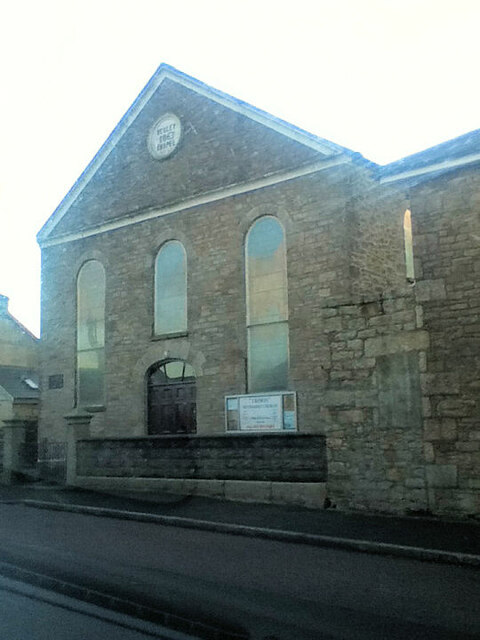
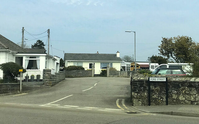
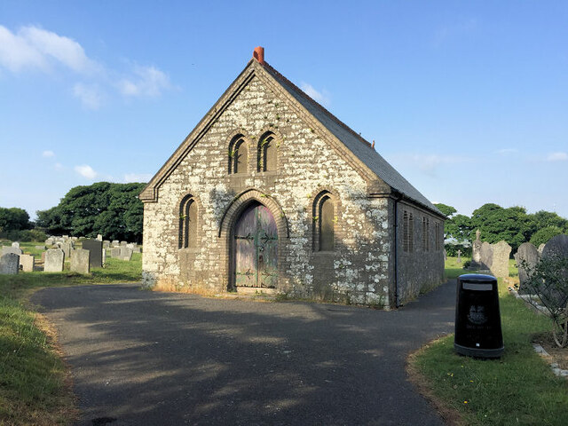
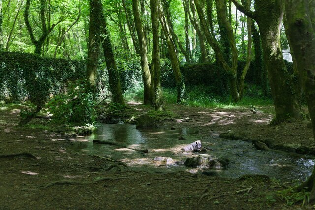
Croft Mitchell Images

Images are sourced within 2km of 50.188224/-5.270469 or Grid Reference SW6637. Thanks to Geograph Open Source API. All images are credited.

Wheal Grenville Fortesque's shaft and whim The impressive engine house at Fortesque's shaft with the drawing whim beyond. See
<a title="https://www.geograph.org.uk/photo/4131867" href="https://www.geograph.org.uk/photo/4131867">Link</a> for more details.
Wheal Grenville Fortesque's shaft and whim
The impressive engine house at Fortesque's shaft with the drawing whim beyond. See Link for more details.
Former Free United Church
Former Wesleyan Methodist Chapel
Former Wesleyan Sunday School
Plantation Chapel
Plantation Chapel
St. John's Church
St. John's Church
Former Mission Church with adjoining Sunday School at left
Troon Methodist Church
Chapel Square leading to Chapel Farm
Troon Cemetery
Troon Cemetery
Stream flows under the road The stream flows through woodland and under the road.
Stream flows under the road
The stream flows through woodland and under the road.
Woodland track Track through woodland.
Woodland track
Track through woodland.
Terraced houses
Terraced houses
Troon cricket ground on match day
Old Boundary Marker on Pendarves Street, Beacon Boundary Marker on the grass verge outside No.62 on the west side of Pendarves Street. Camborne parish. Inscribed N T and S T. The function of this stone is unclear as neither a boundary nor the stone are marked on any OS maps.

Milestone Society National ID: CW_CAMB03bm
Old Boundary Marker on Pendarves Street, Beacon
Boundary Marker on the grass verge outside No.62 on the west side of Pendarves Street. Camborne parish. Inscribed N T and S T. The function of this stone is unclear as neither a boundary nor the stone are marked on any OS maps. Milestone Society National ID: CW_CAMB03bm
King Edward Mine King Edward mine (just outside of Troon) has recently been turned into a visitor centre all about the mine and Cornish mining.
King Edward Mine
King Edward mine (just outside of Troon) has recently been turned into a visitor centre all about the mine and Cornish mining.
Grenville United Mines Grenville United mines (just outside of Troon) are now just two engine houses. Fortescue's engine house is on the left and Fortescue's pumping house is on the right (both part of Fortescue's shaft).
Grenville United Mines
Grenville United mines (just outside of Troon) are now just two engine houses. Fortescue's engine house is on the left and Fortescue's pumping house is on the right (both part of Fortescue's shaft).
Show me another place!

Croft Mitchell is located at Grid Ref: SW6637 (Lat: 50.188224, Lng: -5.270469)

Unitary Authority: Cornwall

Police Authority: Devon and Cornwall

What 3 Words

///feuds.tinned.poem. Near Four Lanes, Cornwall

Related Wikis

Croft Mitchell

Croft Mitchell is a hamlet in the parish of Camborne, Cornwall, England. == References ==

Boswyn

Boswyn is a hamlet in west Cornwall, England, United Kingdom, approximately one mile south of Troon. It is in the civil parish of Camborne. == References ==

Bolenowe

Bolenowe (Cornish: Boslenow, meaning dwelling of strip-fields) is a village in west Cornwall, England, United Kingdom. It is approximately one-and-a-half...

Nine Maidens Downs

Nine Maidens Downs is a moorland southwest of Four Lanes in Cornwall, England, UK. == Stone circles == The name Nine Maidens comes from two Early Bronze...

Troon, Cornwall

Troon (Cornish: Trewoon) is a village in Cornwall, UK, 1+1⁄2 miles (2.5 kilometres) southeast of Camborne. The village lies at around 560 feet (170 m)...

Carwynnen

Carwynnen is a hamlet in Cornwall, England. It is located between the villages of Troon and Praze-an-Beeble, and is situated 2 miles (3.2 km) south of...
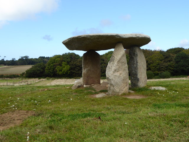
Carwynnen Quoit

Carwynnen Quoit (grid reference SW650372) is a dolmen belonging to the Neolithic period, at Carwynnen near Camborne in west Cornwall. It is also known...
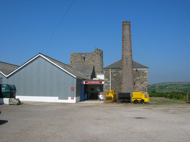
King Edward Mine

The King Edward Mine at Camborne, Cornwall, in the United Kingdom is a mine wholly owned by Cornwall Council. At the end of the 19th century students at...

Nearby Amenities

Located within 500m of 50.188224,-5.270469
Bus Stop
Primrose Cottage
Bus: yes
Naptan AtcoCode: 0800COD40948
Naptan Bearing: E
Naptan CommonName: Primrose Cottage
Naptan NaptanCode: corajwtp
Naptan Street: Unclassified
Naptan Verified: no
Public Transport: platform
Source: naptan_import
Lat/Long: 50.1876611/-5.2701905
Bus Stop
Primrose Cottage
Bus: yes
Naptan AtcoCode: 0800COD40949
Naptan Bearing: W
Naptan CommonName: Primrose Cottage
Naptan Indicator: Opp
Naptan NaptanCode: corajwtw
Naptan Street: Unclassified
Naptan Verified: no
Public Transport: platform
Source: naptan_import
Lat/Long: 50.1875806/-5.270171
Bus Stop
Mentrelyer
Bus: yes
Naptan AtcoCode: 0800FWX38522
Naptan Bearing: N
Naptan CommonName: Mentrelyer
Naptan NaptanCode: corajwpt
Naptan Street: Unclassified
Naptan Verified: no
Public Transport: platform
Source: naptan_import
Lat/Long: 50.1876057/-5.2711956
Barrier: entrance
Lat/Long: 50.1908676/-5.2689686
Barrier: stile
Lat/Long: 50.1899022/-5.2709249
Barrier: stile
Lat/Long: 50.1909604/-5.268995
Place: farm
Lat/Long: 50.1849143/-5.2727552
Power: pole
Source: approximate
Lat/Long: 50.1877987/-5.2761713
Power: pole
Source: approximate
Lat/Long: 50.1887096/-5.274815
Power: pole
Lat/Long: 50.1892979/-5.2739263
Power: pole
Source: approximate
Lat/Long: 50.1899796/-5.2729016
Power: pole
Source: approximate
Lat/Long: 50.1907953/-5.2716679
Power: pole
Source: approximate
Lat/Long: 50.1916278/-5.2704092
Power: pole
Source: approximate
Lat/Long: 50.1924439/-5.2703858
Power: pole
Lat/Long: 50.1860706/-5.2659923
Power: pole
Lat/Long: 50.1850498/-5.2667776
Power: pole
Lat/Long: 50.186074/-5.2673213
Power: pole
Lat/Long: 50.1871949/-5.2679497
Power: pole
Lat/Long: 50.1876809/-5.2682152
Power: pole
Lat/Long: 50.1887319/-5.2687946
Power: pole
Lat/Long: 50.1895317/-5.2692506
Information: board
Tourism: information
Lat/Long: 50.1909764/-5.2654301
Information: board
Tourism: information
Lat/Long: 50.1903485/-5.2644762
Barrier: entrance
Lat/Long: 50.1905805/-5.2678572
Barrier: stile
Lat/Long: 50.1862013/-5.2657409
Barrier: stile
Lat/Long: 50.1874456/-5.265875
Information: guidepost
Tourism: information
Lat/Long: 50.1874619/-5.2658133
Barrier: stile
Lat/Long: 50.1903131/-5.2706508
Barrier: stile
Lat/Long: 50.1895193/-5.2714527
Barrier: stile
Lat/Long: 50.1904708/-5.2658435
Barrier: stile
Lat/Long: 50.1895527/-5.2684781
Barrier: stile
Lat/Long: 50.1918478/-5.2667408
Barrier: stile
Lat/Long: 50.1921417/-5.2674299
Barrier: stile
Lat/Long: 50.1909858/-5.2654506
Generator Method: photovoltaic
Generator Output Electricity: small_installation
Generator Source: solar
Generator Type: solar_photovoltaic_panel
Location: roof
Power: generator
Source: bing
Lat/Long: 50.1911704/-5.269897
Power: pole
Source: bing;wpd_open_data
Lat/Long: 50.1862261/-5.2647912
Power: pole
Source: bing;wpd_open_data
Lat/Long: 50.1840998/-5.2721856
Power: pole
Source: bing;wpd_open_data
Lat/Long: 50.18418/-5.2713064
Power: pole
Source: bing;wpd_open_data
Lat/Long: 50.1842601/-5.2703021
Power: pole
Source: bing;wpd_open_data
Lat/Long: 50.1843539/-5.2691923
Power: pole
Source: bing;wpd_open_data
Lat/Long: 50.1848535/-5.2686461
Power: pole
Source: bing;wpd_open_data
Lat/Long: 50.1855969/-5.2678562
Power: pole
Source: bing;wpd_open_data
Lat/Long: 50.1871253/-5.2757322
Power: pole
Source: bing;wpd_open_data
Lat/Long: 50.190321/-5.2757222
Power: pole
Source: bing;wpd_open_data
Lat/Long: 50.1894846/-5.2752862
Power: pole
Source: bing;wpd_open_data
Lat/Long: 50.1887379/-5.2749035
Power: pole
Source: bing;wpd_open_data
Lat/Long: 50.1922394/-5.2695604
Power: pole
Source: bing;wpd_open_data
Lat/Long: 50.1906402/-5.2698621
Power: pole
Source: bing;wpd_open_data
Lat/Long: 50.1914473/-5.2703221
The data included in this document is from www.openstreetmap.org. The data is made available under ODbL.

Have you been to Croft Mitchell?

Leave your review of Croft Mitchell below (or comments, questions and feedback).