Croft

Settlement in Lincolnshire East Lindsey

England

Croft

Croft Lane, Wainfleet All Saints
Croft Lane, Wainfleet All Saints Credit: Richard Vince

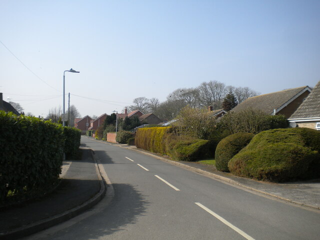
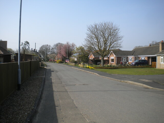
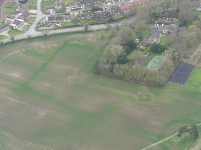
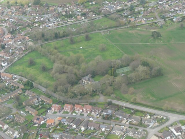
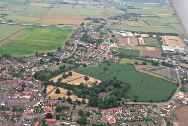
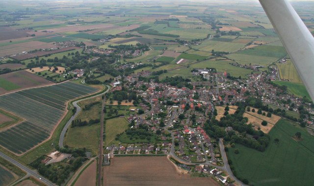
Croft is a small village located in the county of Lincolnshire, England. Situated about 7 miles north of the town of Skegness, Croft is nestled amidst the picturesque Lincolnshire Wolds, an Area of Outstanding Natural Beauty.

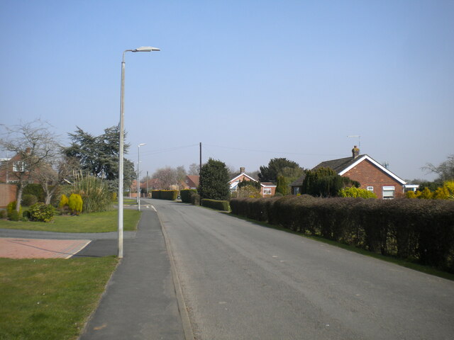
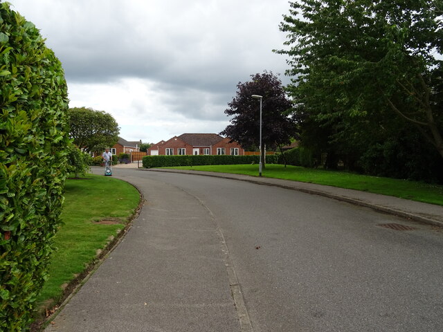
The village boasts a population of around 400 residents, giving it a close-knit and friendly community atmosphere. Croft is characterized by its charming cottages, many of which date back to the 18th and 19th centuries, adding a sense of historical charm to the village.

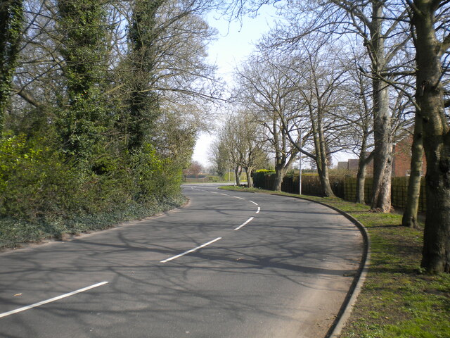
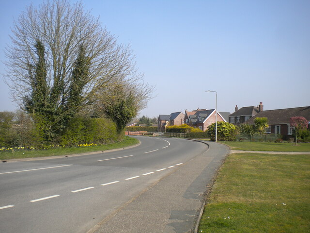
Croft is surrounded by lush green fields and rolling hills, making it a haven for nature enthusiasts. The area offers various walking and cycling routes, allowing visitors to explore the natural beauty of the Lincolnshire Wolds. Additionally, the nearby Gibraltar Point National Nature Reserve and Skegness Beach provide opportunities for wildlife spotting and seaside activities.

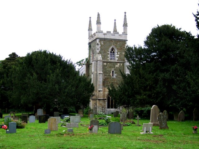
Despite being a small village, Croft has a few amenities to offer its residents and visitors. The village has a primary school, a village hall, a church, and a pub, which serves as a social hub for locals. For more extensive facilities, the nearby town of Skegness provides a wider range of shops, restaurants, and entertainment options.

Due to its tranquil setting and proximity to both the countryside and the coast, Croft appeals to those seeking a peaceful and idyllic place to reside or visit, away from the hustle and bustle of larger towns and cities.

If you have any feedback on the listing, please let us know in the comments section below.
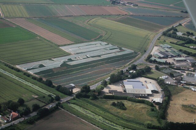
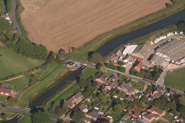
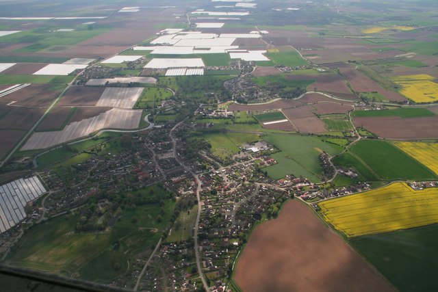
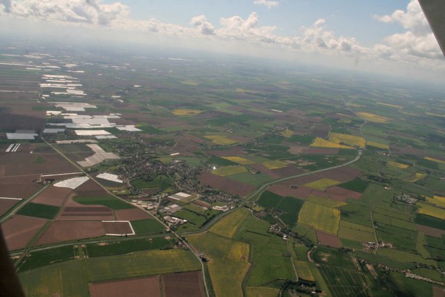
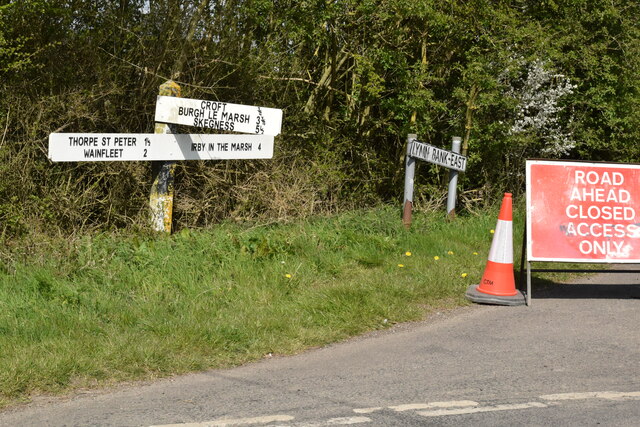
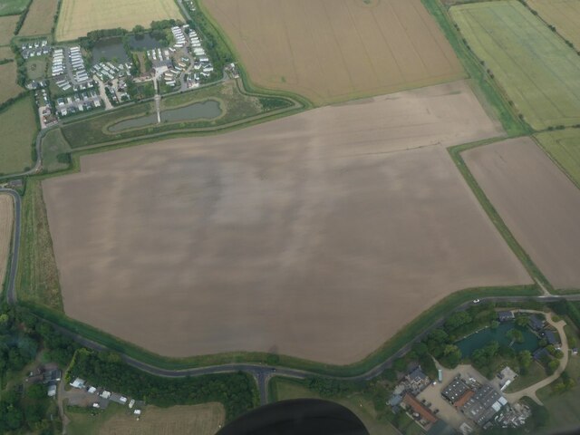
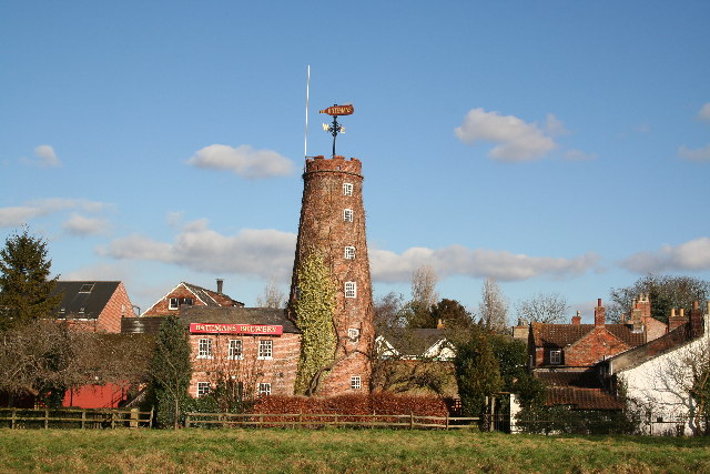
Croft Images

Images are sourced within 2km of 53.124735/0.24374118 or Grid Reference TF5060. Thanks to Geograph Open Source API. All images are credited.

Croft Lane, Wainfleet All Saints
Skegness Road, Wainfleet All Saints (1)
Entrance to Northolme Hall, Wainfleet All Saints Off Skegness Road.
Entrance to Northolme Hall, Wainfleet All Saints
Off Skegness Road.
Skegness Road, Wainfleet All Saints (2) Looking towards the edge of the town from the junction with Rumbold Lane.
Skegness Road, Wainfleet All Saints (2)
Looking towards the edge of the town from the junction with Rumbold Lane.
Merrifield Road, Wainfleet All Saints Off Rumbold Lane.
Merrifield Road, Wainfleet All Saints
Off Rumbold Lane.
Rumbold Lane, Wainfleet All Saints (1) Looking towards the town centre from the junction with Dovecote Lane.
Rumbold Lane, Wainfleet All Saints (1)
Looking towards the town centre from the junction with Dovecote Lane.
Cropmarks on field by Wainfleet (all Saints) Hall: aerial 2023
Wainfleet (all Saints) Hall and possible site of Wainfleet Port: aerial 2023 The line of trees above the white van mark the top of a bank which, it is thought, might once have been a quay.
Wainfleet (all Saints) Hall and possible site of Wainfleet Port: aerial 2023
The line of trees above the white van mark the top of a bank which, it is thought, might once have been a quay.
New England, Wainfleet All Saints: aerial 2023 Croft Bank.
New England, Wainfleet All Saints: aerial 2023
Croft Bank.
Lock, Wainfleet Relief Channel: aerial 2015
Wainfleet and the Tofts, with the A52 running down the east side of the Tofts: aerial 2017 Professor I.G. Simmons, author of various papers abaout this area, has sent me his comments on this photo, which reflect his current views/ideas: 

- Centre is the market place (above left of the two rows of large terraced houses), which may be a later addition to the town, perhaps after the Charter of Incorporation.

- Above left of that is the core of the medieval town. The layout suggests it was a planted 'New Town', a common thing roughly around 1100.  However there are no documents to support this.

- The colonised area on the river to the right of the town is Chop Hills, (or "Jop" Hills on an older map. It is thought there was a mill here and it was quite possibly a tidal mill.

- The part of Wainfleet All Saints above the river is Sailholme. It contains Wainfleet Hall. It was the core area of Bury possessions, and was mostly made of salt waste.  Extensions to either side, with creeks in between and a possible staithe. Two creeks led downwards through the area, to the river, and alongside these was a possible staithe.

- In mediaeval times the course of the river in the left corner was to the right of its present position, where the edge of the town now stands.

- Leading upwards alongside to the right of the edge of the polythene covered fields (the Tofts) is the Low Road, a bank that carried the King's Road to Boston.

- Parallel and to the right is the Old Fen Bank, which enclosed the East Fen, a raised bog, where, in the 18th century, there was (among other things) a cranberry industry.

- There is a variety of soil marks in the green fields close in to the market area, on the right. It could possibly be the site of the elusive Wainfleet harbour. There is a variety of soil marks 

- To the left of the Tofts (polythene covered) is the new marsh reclaimed from 1600 onwards.

For more information on the geology, history and geography of this fenland area, its saltworks and its drainage see: <span class="nowrap"><a title="https://www.dur.ac.uk/east-lincs-history" rel="nofollow ugc noopener" href="https://www.dur.ac.uk/east-lincs-history">Link</a><img style="margin-left:2px;" alt="External link" title="External link - shift click to open in new window" src="https://s1.geograph.org.uk/img/external.png" width="10" height="10"/></span> and <span class="nowrap"><a title="https://archive.org/stream/cu31924014023893#page/n3/mode/2up" rel="nofollow ugc noopener" href="https://archive.org/stream/cu31924014023893#page/n3/mode/2up">Link</a><img style="margin-left:2px;" alt="External link" title="External link - shift click to open in new window" src="https://s1.geograph.org.uk/img/external.png" width="10" height="10"/></span>

For the Tofts in particular see: <span class="nowrap"><a title="https://www.dur.ac.uk/east-lincs-history/investigations/from-1100-1500-the-coast/#2.2.3.5" rel="nofollow ugc noopener" href="https://www.dur.ac.uk/east-lincs-history/investigations/from-1100-1500-the-coast/#2.2.3.5">Link</a><img style="margin-left:2px;" alt="External link" title="External link - shift click to open in new window" src="https://s1.geograph.org.uk/img/external.png" width="10" height="10"/></span> and  <span class="nowrap"><a title="https://www.dur.ac.uk/east-lincs-history/investigations/the-rural-economy-between-the-fen-and-the-sea/#2.4.5.4" rel="nofollow ugc noopener" href="https://www.dur.ac.uk/east-lincs-history/investigations/the-rural-economy-between-the-fen-and-the-sea/#2.4.5.4">Link</a><img style="margin-left:2px;" alt="External link" title="External link - shift click to open in new window" src="https://s1.geograph.org.uk/img/external.png" width="10" height="10"/></span>
Wainfleet and the Tofts, with the A52 running down the east side of the Tofts: aerial 2017
Professor I.G. Simmons, author of various papers abaout this area, has sent me his comments on this photo, which reflect his current views/ideas: - Centre is the market place (above left of the two rows of large terraced houses), which may be a later addition to the town, perhaps after the Charter of Incorporation. - Above left of that is the core of the medieval town. The layout suggests it was a planted 'New Town', a common thing roughly around 1100. However there are no documents to support this. - The colonised area on the river to the right of the town is Chop Hills, (or "Jop" Hills on an older map. It is thought there was a mill here and it was quite possibly a tidal mill. - The part of Wainfleet All Saints above the river is Sailholme. It contains Wainfleet Hall. It was the core area of Bury possessions, and was mostly made of salt waste. Extensions to either side, with creeks in between and a possible staithe. Two creeks led downwards through the area, to the river, and alongside these was a possible staithe. - In mediaeval times the course of the river in the left corner was to the right of its present position, where the edge of the town now stands. - Leading upwards alongside to the right of the edge of the polythene covered fields (the Tofts) is the Low Road, a bank that carried the King's Road to Boston. - Parallel and to the right is the Old Fen Bank, which enclosed the East Fen, a raised bog, where, in the 18th century, there was (among other things) a cranberry industry. - There is a variety of soil marks in the green fields close in to the market area, on the right. It could possibly be the site of the elusive Wainfleet harbour. There is a variety of soil marks - To the left of the Tofts (polythene covered) is the new marsh reclaimed from 1600 onwards. For more information on the geology, history and geography of this fenland area, its saltworks and its drainage see: LinkExternal link and LinkExternal link For the Tofts in particular see: LinkExternal link and LinkExternal link
Wainfleet and Wainfleet Tofts: aerial 2017 A difficult shots on account of the light conditions. A few seconds later, looking directly down the Tofts (picked out by the agricultural sheeting on the fields),  light was against me.
Wainfleet and Wainfleet Tofts: aerial 2017
A difficult shots on account of the light conditions. A few seconds later, looking directly down the Tofts (picked out by the agricultural sheeting on the fields), light was against me.
NE Wainfleet All Saints: aerial 2018
Wainfleet All Saints: aerial 2018
Waincroft Close, Wainfleet All Saints
Direction Sign – Signpost on Church Lane in Crift parish Located on the northeast side of the crossroads of Washdike Lane, Church Lane and Pinchbeck Lane in Croft parish. 3 arms and no finial.

Milestone Society National ID: LI_TF5061
Direction Sign – Signpost on Church Lane in Crift parish
Located on the northeast side of the crossroads of Washdike Lane, Church Lane and Pinchbeck Lane in Croft parish. 3 arms and no finial. Milestone Society National ID: LI_TF5061
Direction Sign – Signpost at Oak Bridge in Thorpe St. Peter Located at Oak Bridge on the west side of the junction of Lymm Bank East and Burgh Road in Thorpe St. Peter parish. 3 arms and no finial.

Milestone Society National ID: LI_TF5061A
Direction Sign – Signpost at Oak Bridge in Thorpe St. Peter
Located at Oak Bridge on the west side of the junction of Lymm Bank East and Burgh Road in Thorpe St. Peter parish. 3 arms and no finial. Milestone Society National ID: LI_TF5061A
Cropmarks on a field near Croft: aerial 2022 Site of manor: see <span class="nowrap"><a title="https://www.heritagegateway.org.uk/Gateway/Results_Single.aspx?uid=MLI90833&resourceID=1006" rel="nofollow ugc noopener" href="https://www.heritagegateway.org.uk/Gateway/Results_Single.aspx?uid=MLI90833&resourceID=1006">Link</a><img style="margin-left:2px;" alt="External link" title="External link - shift click to open in new window" src="https://s1.geograph.org.uk/img/external.png" width="10" height="10"/></span>

The manor house was extant in 1964, but was demolished at some point after this. The building is said to have dated to the mid 18th century, although the finding of 14th century pottery and window glass on the site (see MLI41723), could indicate that the building was a replacement of an earlier manor house in this location.
Cropmarks on a field near Croft: aerial 2022
Site of manor: see LinkExternal link The manor house was extant in 1964, but was demolished at some point after this. The building is said to have dated to the mid 18th century, although the finding of 14th century pottery and window glass on the site (see MLI41723), could indicate that the building was a replacement of an earlier manor house in this location.
Show me another place!

Croft is located at Grid Ref: TF5060 (Lat: 53.124735, Lng: 0.24374118)

Division: Parts of Lindsey

Administrative County: Lincolnshire

District: East Lindsey

Police Authority: Lincolnshire

What 3 Words

///knowledge.enrolling.sample. Near Wainfleet All Saints, Lincolnshire

Nearby Locations

Croft

Related Wikis

Croft, Lincolnshire

Croft is a small village and civil parish in the East Lindsey district of Lincolnshire, England. The village is situated approximately 2 miles (3 km) north...
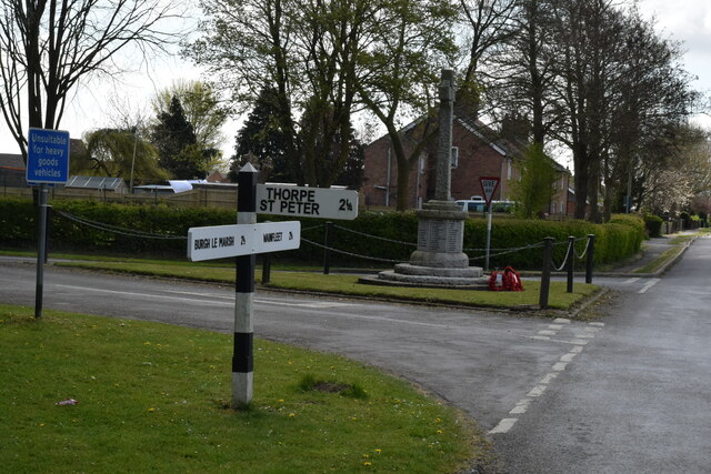
Thorpe St Peter

Thorpe St Peter is a village and civil parish in the East Lindsey district of Lincolnshire, England, about 1 mile (1.6 km) north-west from the town of...

Wainfleet All Saints

Wainfleet All Saints is an ancient port and market town on the east coast of England, in the East Lindsey district of Lincolnshire, on the A52 road 5...

Havenhouse railway station

Havenhouse railway station is situated 3 miles (5 km) south-west of Skegness in Lincolnshire, England. The station was originally called 'Croft Bank'...

Nearby Amenities

Located within 500m of 53.124735,0.24374118
Pub
The Old Chequers Inn
Addr City: Skegness
Addr Country: GB
Addr Housename: The Old Chequers Inn
Addr Postcode: PE24 4PF
Addr Street: Croft Lane
Addr Village: Croft
Fhrs Authority: East Lindsey
Fhrs Id: 156258
Fhrs Local Authority Id: EHFDI/02524/08
Operator: Batesman Brewery
Wikidata: Q26517448
Lat/Long: 53.1265365/0.2455063
Waterside
Place: isolated_dwelling
Source: Bing
Lat/Long: 53.1235347/0.244248
Power: pole
Lat/Long: 53.1210391/0.2434576
Power: pole
Lat/Long: 53.1217294/0.2451759
Power: pole
Lat/Long: 53.1223246/0.2468237
Power: pole
Lat/Long: 53.1230014/0.2486154
Power: pole
Lat/Long: 53.1236422/0.2502951
Power: pole
Lat/Long: 53.1206379/0.2415453
The data included in this document is from www.openstreetmap.org. The data is made available under ODbL.

Have you been to Croft?

Leave your review of Croft below (or comments, questions and feedback).