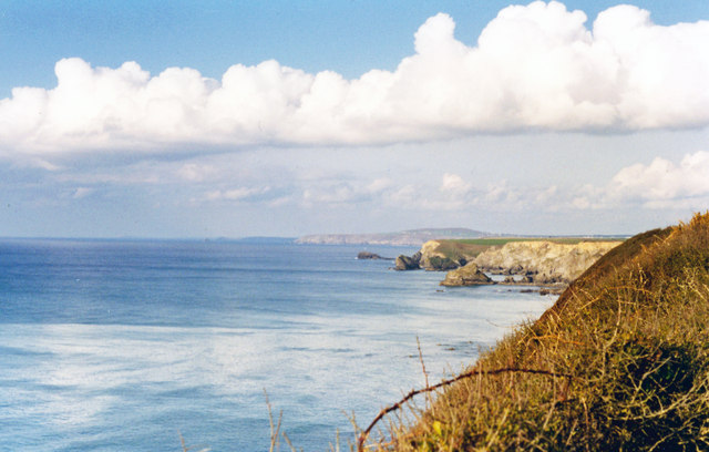
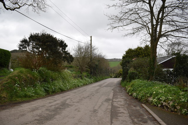
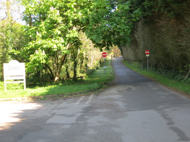
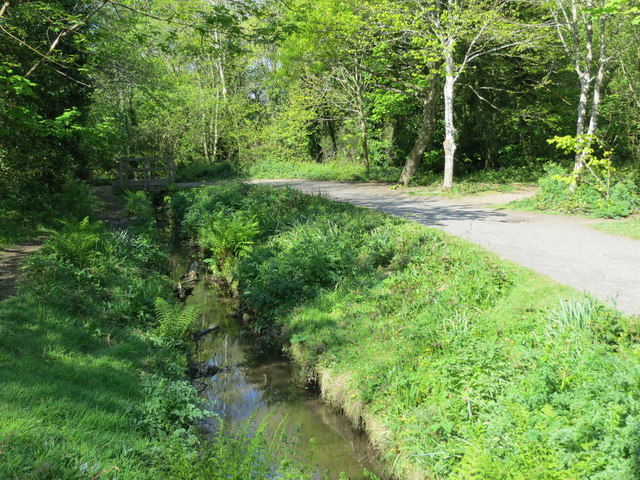
Reskajeage Downs
Downs, Moorland in Cornwall
England
Reskajeage Downs
The requested URL returned error: 429 Too Many Requests
If you have any feedback on the listing, please let us know in the comments section below.
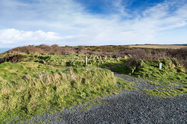
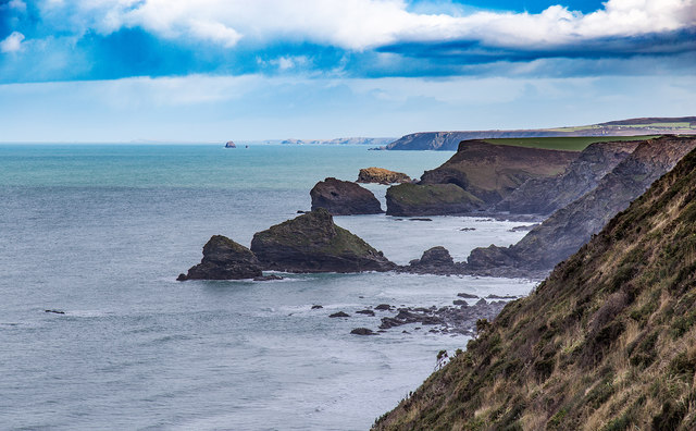
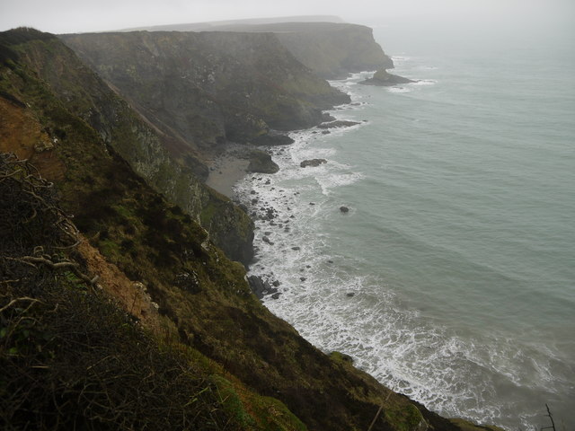
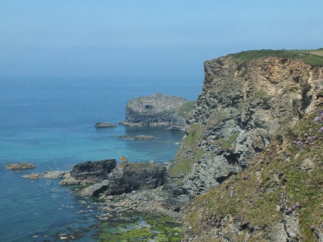
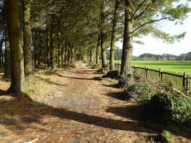
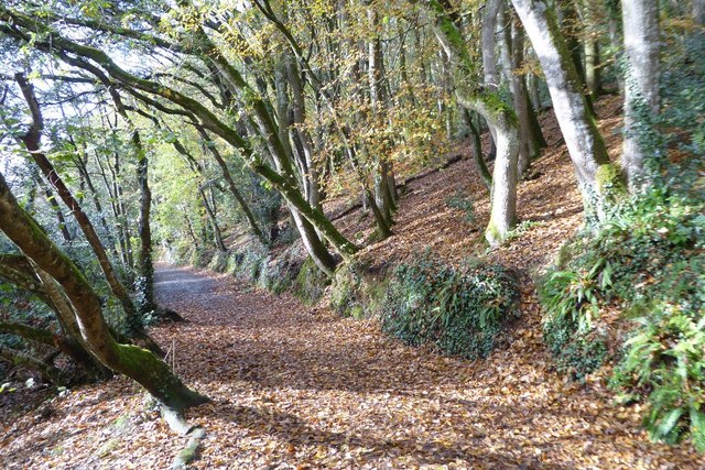
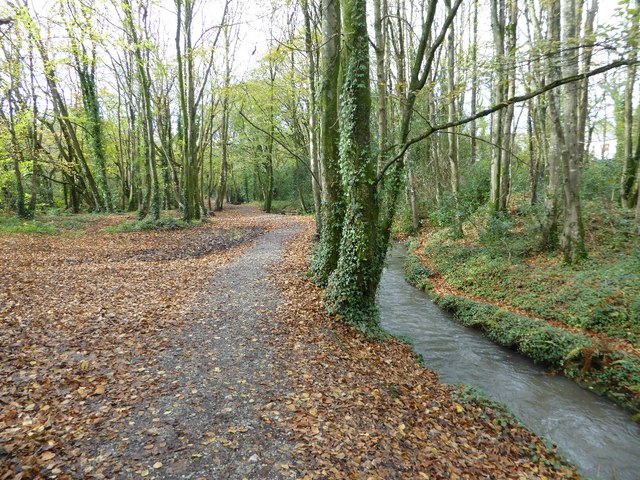
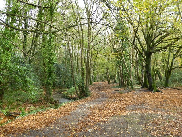
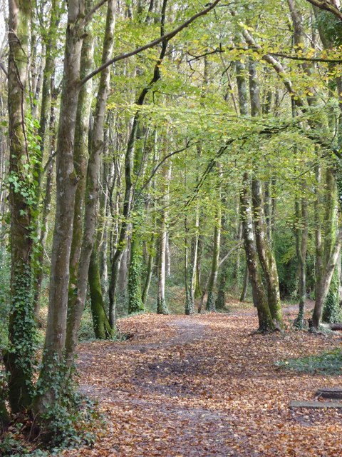
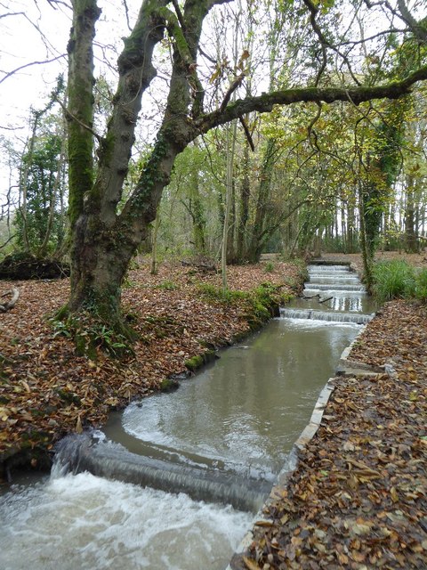
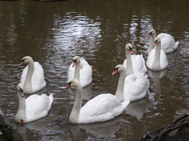
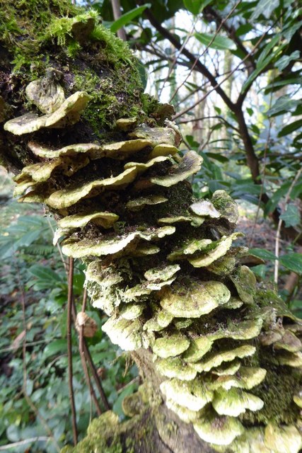
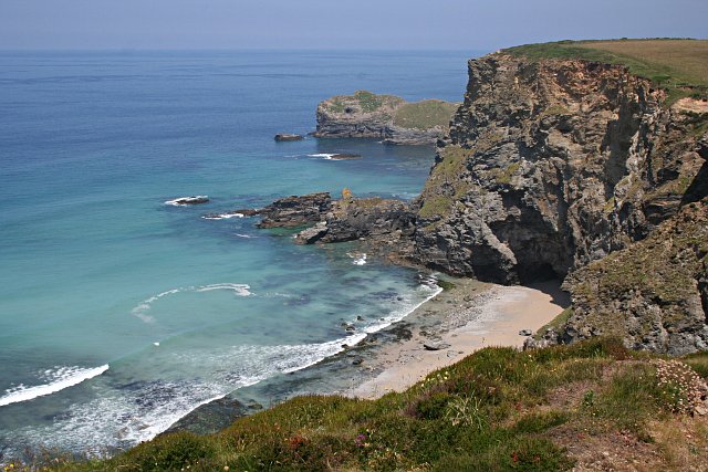
Reskajeage Downs Images
Images are sourced within 2km of 50.243706/-5.3209331 or Grid Reference SW6343. Thanks to Geograph Open Source API. All images are credited.


Reskajeage Downs is located at Grid Ref: SW6343 (Lat: 50.243706, Lng: -5.3209331)
Unitary Authority: Cornwall
Police Authority: Devon and Cornwall
What 3 Words
///feed.regulates.crunching. Near Camborne, Cornwall
Nearby Locations
Related Wikis
Godrevy Head to St Agnes
Godrevy Head to St Agnes is a coastal Site of Special Scientific Interest (SSSI) in north Cornwall, England], noted for both its biological and geological...

Coombe, Camborne
Coombe (Cornish: Komm) is a hamlet in west Cornwall, England, United Kingdom. It is situated two miles (3 km) north of the town of Camborne in the valley...

Tehidy Country Park
Tehidy Country Park is a country park in Illogan in Cornwall, England which incorporates 250 acres (1.0 km2) of the parkland and estate around Tehidy House...
Roscroggan
Roscroggan is a hamlet north of Camborne in Cornwall, England. == Fatal WWII plane crash == In the Second World War, on Friday 24 July 1942, a Bristol...
Nearby Amenities
Located within 500m of 50.243706,-5.3209331Have you been to Reskajeage Downs?
Leave your review of Reskajeage Downs below (or comments, questions and feedback).