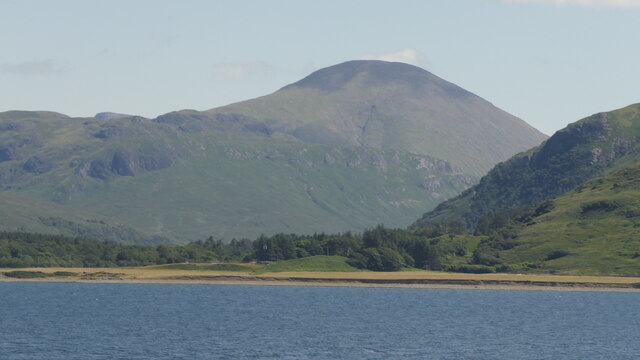
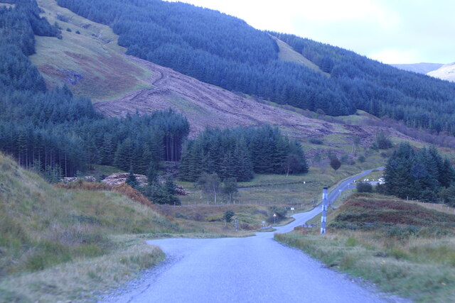
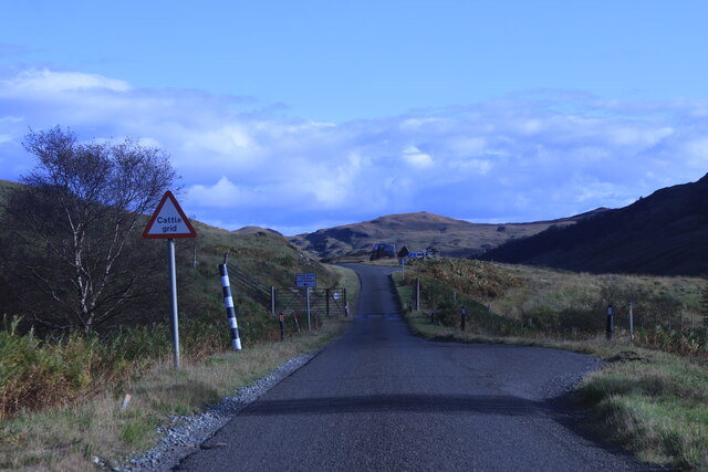
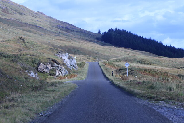
Doire a' Mhàim
Downs, Moorland in Argyllshire
Scotland
Doire a' Mhàim
The requested URL returned error: 429 Too Many Requests
If you have any feedback on the listing, please let us know in the comments section below.
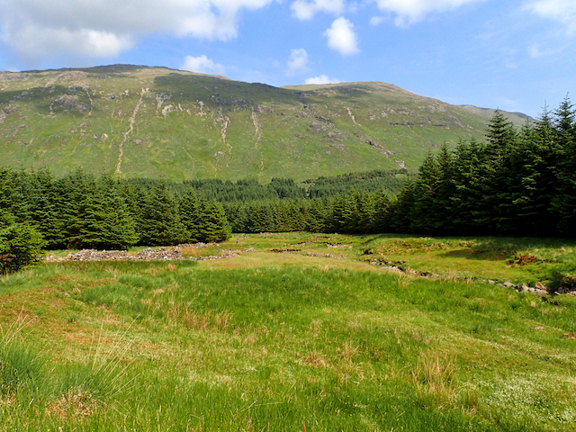
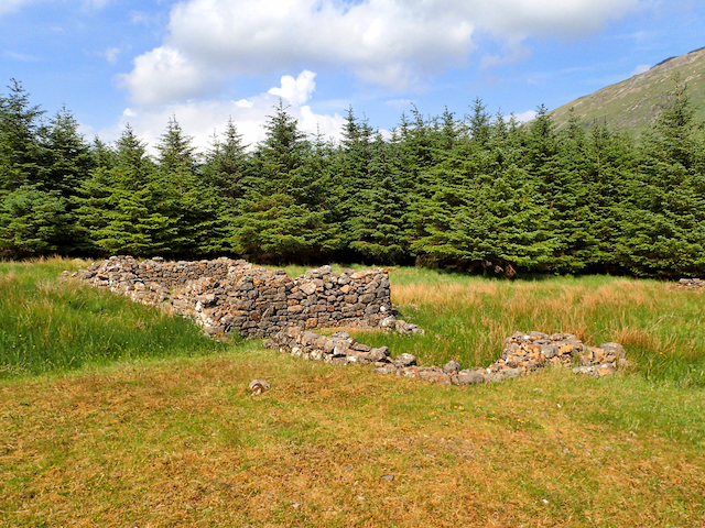
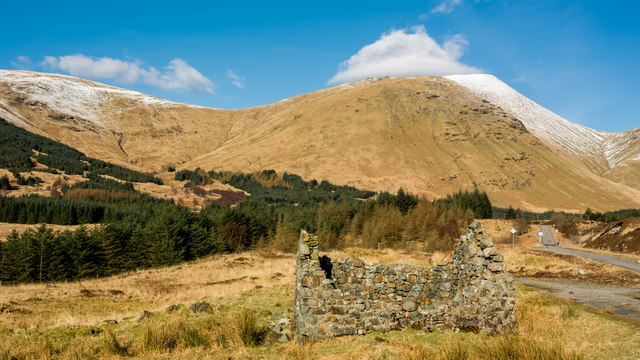
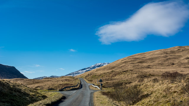
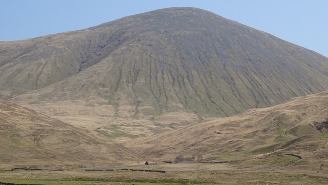
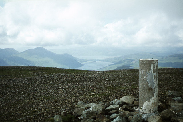
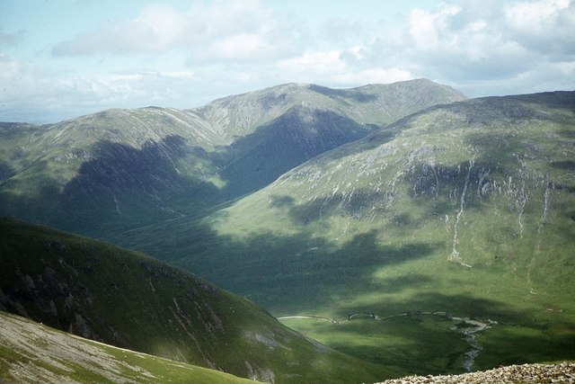
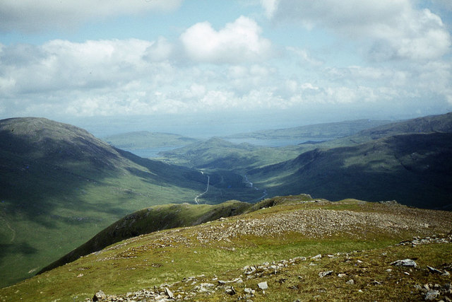
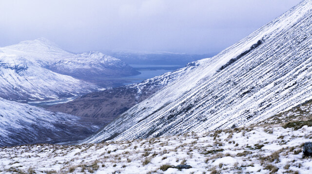
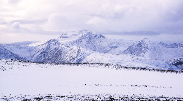
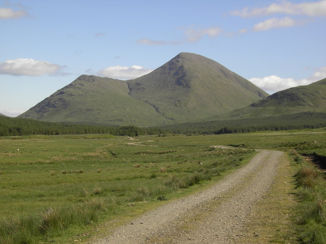
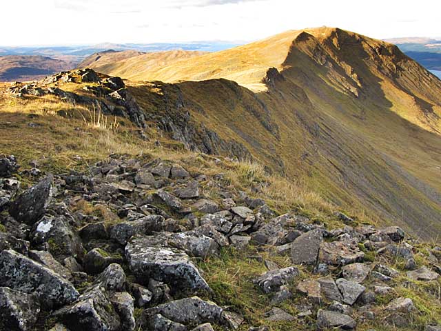
Doire a' Mhàim Images
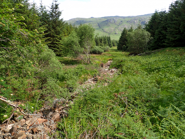
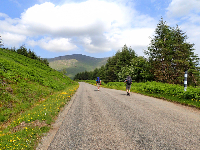
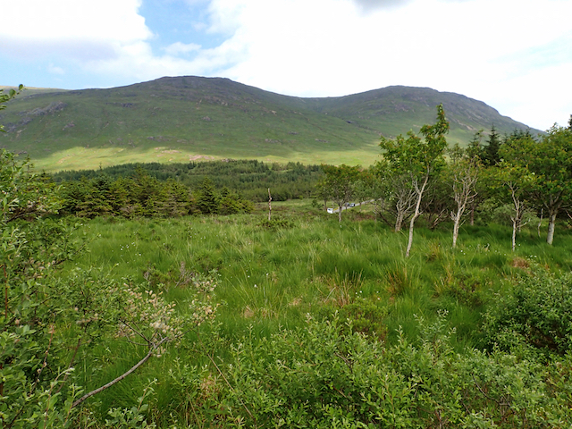
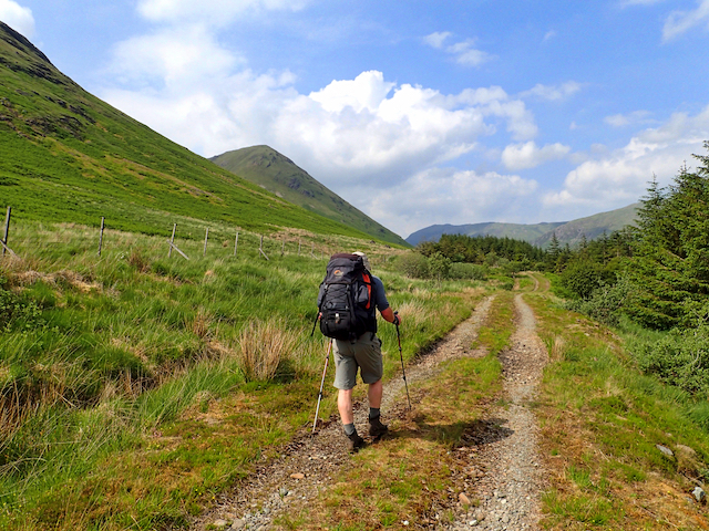
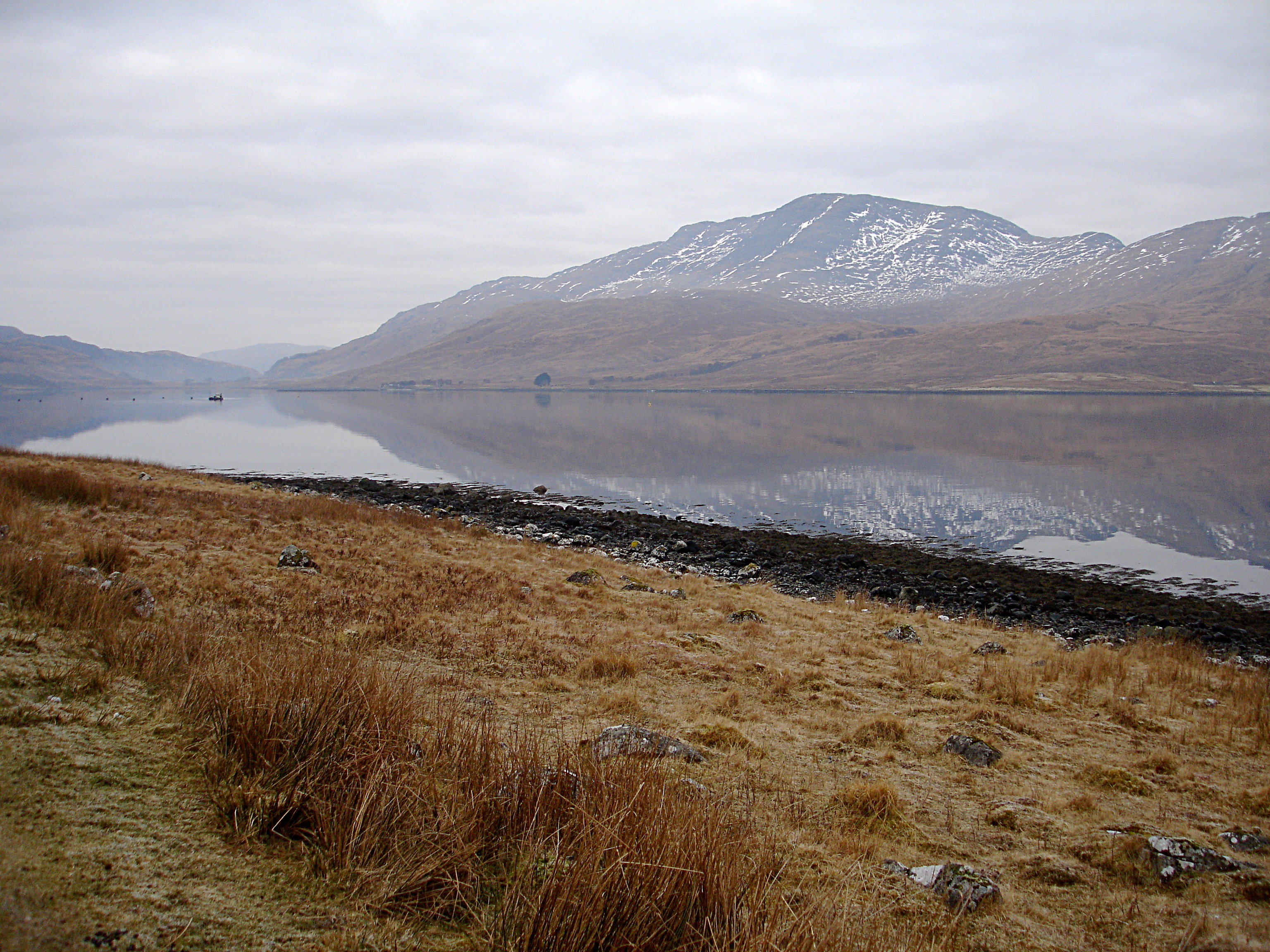
Images are sourced within 2km of 56.430787/-5.8417186 or Grid Reference NM6333. Thanks to Geograph Open Source API. All images are credited.
Doire a' Mhàim is located at Grid Ref: NM6333 (Lat: 56.430787, Lng: -5.8417186)
Unitary Authority: Argyll and Bute
Police Authority: Argyll and West Dunbartonshire
What 3 Words
///unite.camera.reporting. Near Lochbuie, Argyll & Bute
Nearby Locations
Related Wikis
Beinn Talaidh
Beinn Talaidh (762 m) is a peak on the Isle of Mull, Scotland, located in the mountainous centre of the Island. The mountain is shaped like a symmetrical...
Dùn da Ghaoithe
Dùn da Ghaoithe (Scottish Gaelic: Dùn da Ghaoithe, meaning "fort of the two winds") is the second highest mountain on the Isle of Mull, western Scotland...
Creach-Beinn (Mull)
Creach-Beinn (698 m) is a mountain in the south of the Isle of Mull, Scotland. It rises above the northern shore of Loch Spelve. A rocky mountain with...

Ben Buie
Ben Buie (717 m) is a mountain in the south of the Isle of Mull, Scotland. A rocky mountain, it has steep and rugged slopes, especially on its eastern...
Have you been to Doire a' Mhàim?
Leave your review of Doire a' Mhàim below (or comments, questions and feedback).