Gearraidh Mhic Lobhair

Downs, Moorland in Ross-shire

Scotland

Gearraidh Mhic Lobhair

View towards Eilean Arnol Looking across the fields from the Arnol Blackhouse car park.
View towards Eilean Arnol Credit: David Dixon

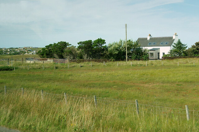
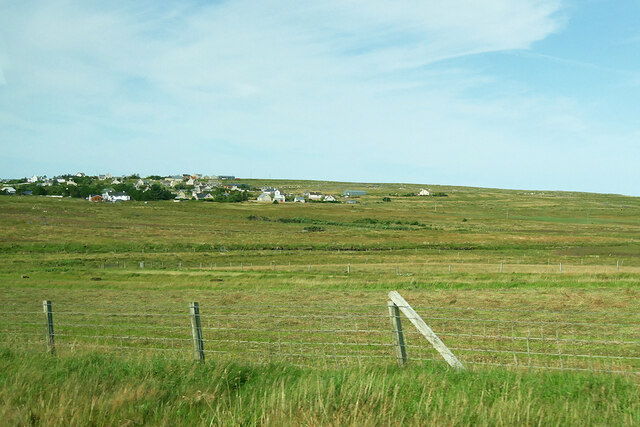
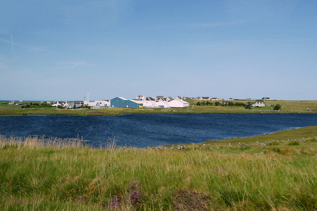
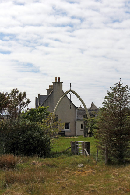
Gearraidh Mhic Lobhair is a small village located in the county of Ross-shire, in the Highlands of Scotland. Situated in a picturesque setting, the village is nestled amidst stunning downs and moorland landscapes. Its idyllic location offers residents and visitors a peaceful retreat from the hustle and bustle of city life.

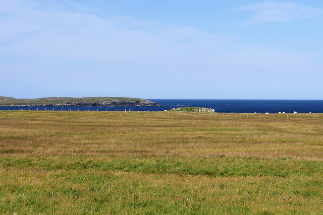
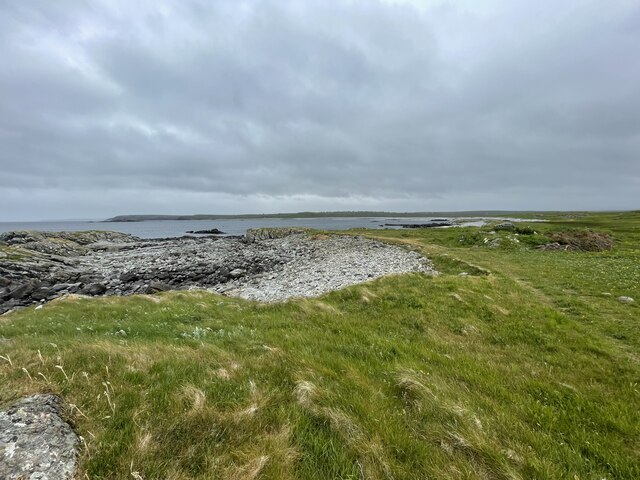
The downs surrounding Gearraidh Mhic Lobhair are characterized by their rolling hills and lush greenery. The area is home to a diverse range of plant and animal species, making it a haven for nature enthusiasts and wildlife lovers. Walking trails crisscross the downs, providing opportunities for leisurely strolls and invigorating hikes, allowing visitors to immerse themselves in the breathtaking natural beauty of the region.

Moorland, with its vast open spaces and heather-covered hills, is another defining feature of Gearraidh Mhic Lobhair. The rugged terrain offers a distinct charm to the village and its surroundings. The moorland is known for its unique flora and fauna, including rare bird species such as the red grouse and golden eagle, making it a popular destination for birdwatchers and wildlife photographers.

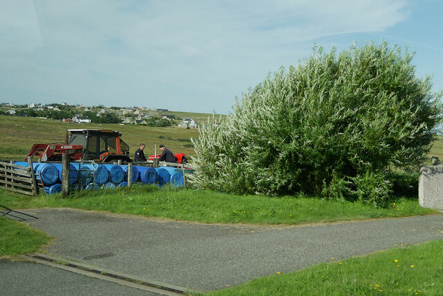
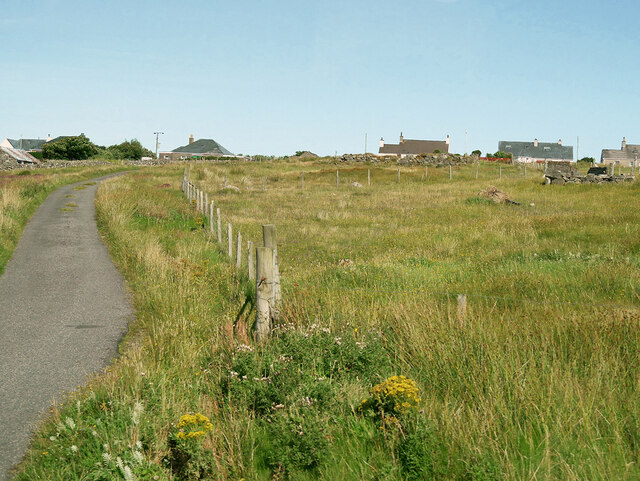
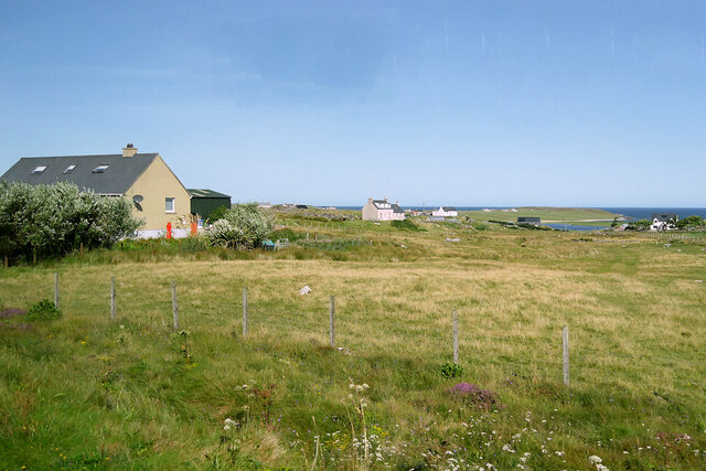
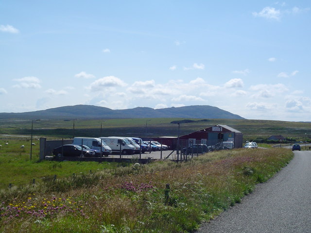
Despite its remote location, Gearraidh Mhic Lobhair is well-connected to nearby towns and cities, ensuring residents have access to essential amenities. The village itself boasts a close-knit community, with a handful of charming cottages and a local pub serving as the social hub.

In conclusion, Gearraidh Mhic Lobhair in Ross-shire is a captivating village nestled amidst downs and moorland landscapes. Its natural beauty, diverse wildlife, and tranquil atmosphere make it a hidden gem for those seeking a peaceful escape in the heart of the Scottish Highlands.

If you have any feedback on the listing, please let us know in the comments section below.

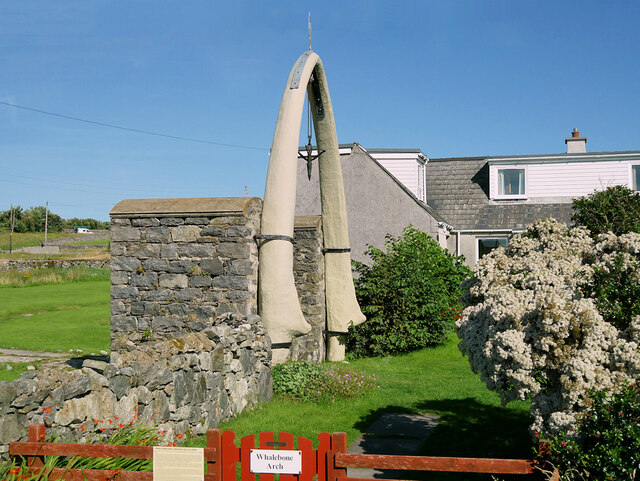
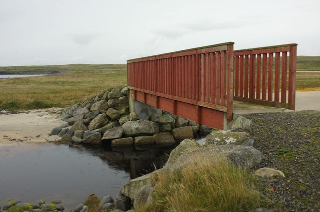
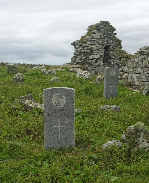
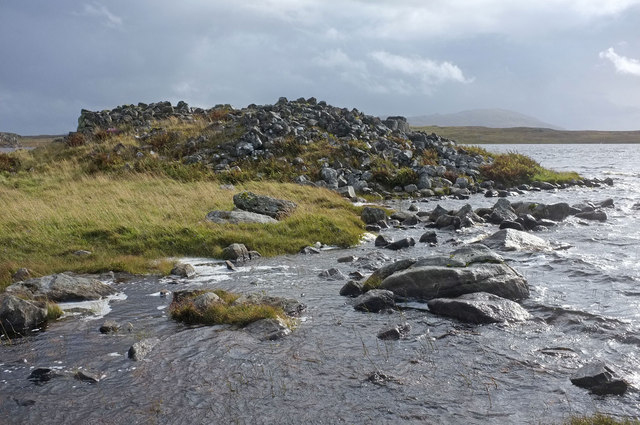
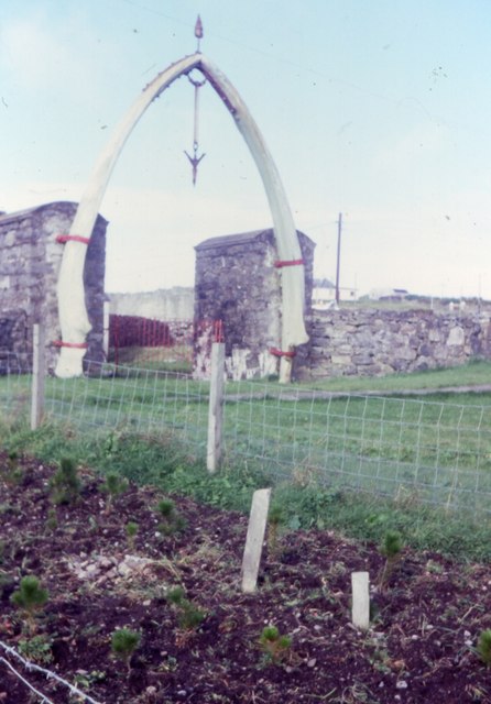
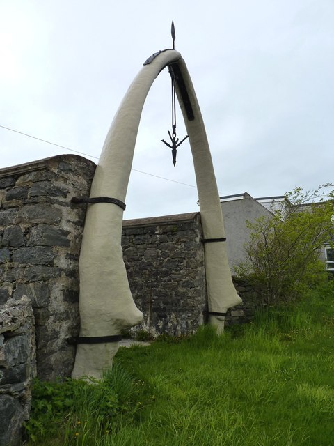
Gearraidh Mhic Lobhair Images

Images are sourced within 2km of 58.336671/-6.6322715 or Grid Reference NB2848. Thanks to Geograph Open Source API. All images are credited.

View towards Eilean Arnol Looking across the fields from the Arnol Blackhouse car park.
View towards Eilean Arnol
Looking across the fields from the Arnol Blackhouse car park.
House at Arnol
House at Arnol
Farming near Arnol
Farming near Arnol
Moorland west of Arnol
Coastline of Lewis
Coastline of Lewis
The Whalebone Arch at Bragar The arch dates from 1920. It was made from the jawbone of a dead blue whale which was washed ashore in a nearby inlet Geodha nam Muc and has since become a tourist attraction. It is Category B-listed by Historic Environment Scotland (LB5767  <span class="nowrap"><a title="https://portal.historicenvironment.scot/designation/LB5767" rel="nofollow ugc noopener" href="https://portal.historicenvironment.scot/designation/LB5767">Link</a><img style="margin-left:2px;" alt="External link" title="External link - shift click to open in new window" src="https://s1.geograph.org.uk/img/external.png" width="10" height="10"/></span> ).

More information <span class="nowrap"><a title="https://www.britainexpress.com/scotland/Outer-Hebrides/whalebone-arch.htm" rel="nofollow ugc noopener" href="https://www.britainexpress.com/scotland/Outer-Hebrides/whalebone-arch.htm">Link</a><img style="margin-left:2px;" alt="External link" title="External link - shift click to open in new window" src="https://s1.geograph.org.uk/img/external.png" width="10" height="10"/></span> (Britain Express).
The Whalebone Arch at Bragar
The arch dates from 1920. It was made from the jawbone of a dead blue whale which was washed ashore in a nearby inlet Geodha nam Muc and has since become a tourist attraction. It is Category B-listed by Historic Environment Scotland (LB5767 LinkExternal link ). More information LinkExternal link (Britain Express).
Bragar Bragar (Bràgar) is a village situated on the A858 between Carloway and Barvas on the west side of the Isle of Lewis, 14 miles from the island's only town, Stornoway
Bragar
Bragar (Bràgar) is a village situated on the A858 between Carloway and Barvas on the west side of the Isle of Lewis, 14 miles from the island's only town, Stornoway
South Bragar
South Bragar
Loch na Muilne
Loch na Muilne
Arnol Motors This small garage and hire centre is the only one for miles around!
Arnol Motors
This small garage and hire centre is the only one for miles around!
Ruined Blackhouse A ruined blackhouse in Arnol. A restored blackhouse can be found further North in this village.
Ruined Blackhouse
A ruined blackhouse in Arnol. A restored blackhouse can be found further North in this village.
Bad stile near Labost This type of stile is used throughout the coastal walk from Bragar to Siabost.

It's an object lesson in how not to make a stile. Firstly the single step is much too high, as demonstrated by my able assistant. It risks pulled muscles, climbing up or jumping down.

Secondly, as everyone has to pull on the top bar to climb up, the bar soon breaks off. Half the stiles on this part of the walk had lost the bar. Once the bar comes off, the rest of the stile becomes unstable because the legs are long and there is no cross bracing.

Next, the mortice joint attaching the step to the back legs is too shallow. After we climbed over one stile, we found that the joint had come unscrewed and only a 1cm edge of wood on the wonky stile stopped it from collapsing.

Finally, to add damage to injury, the barbed wire of the fence is uncovered, so it catches rucsacks as you jump off.
Bad stile near Labost
This type of stile is used throughout the coastal walk from Bragar to Siabost. It's an object lesson in how not to make a stile. Firstly the single step is much too high, as demonstrated by my able assistant. It risks pulled muscles, climbing up or jumping down. Secondly, as everyone has to pull on the top bar to climb up, the bar soon breaks off. Half the stiles on this part of the walk had lost the bar. Once the bar comes off, the rest of the stile becomes unstable because the legs are long and there is no cross bracing. Next, the mortice joint attaching the step to the back legs is too shallow. After we climbed over one stile, we found that the joint had come unscrewed and only a 1cm edge of wood on the wonky stile stopped it from collapsing. Finally, to add damage to injury, the barbed wire of the fence is uncovered, so it catches rucsacks as you jump off.
Footbridge over Loch Ordais outflow This footbridge gives access to the coastal walk west from the car park at Bragar.
Footbridge over Loch Ordais outflow
This footbridge gives access to the coastal walk west from the car park at Bragar.
War graves at Bragar cemetery There are several war graves in the cemetery. Sadly, half of them bear the date 1st January 1919. 205 men returning to Lewis were drowned in the Iolaire disaster close to Stornoway.

The grave in the foreground has an even later date, 26 October 1919. Donald Morrison served on HMS Pontefract, a minesweeper, and died in an accident.
War graves at Bragar cemetery
There are several war graves in the cemetery. Sadly, half of them bear the date 1st January 1919. 205 men returning to Lewis were drowned in the Iolaire disaster close to Stornoway. The grave in the foreground has an even later date, 26 October 1919. Donald Morrison served on HMS Pontefract, a minesweeper, and died in an accident.
Causeway to Broch in Loch an Duna Sometimes it is possible to cross the short causeway to the Broch. On this occasion the loch was high with recent rain, and waves were breaking over the stepping stones.
Causeway to Broch in Loch an Duna
Sometimes it is possible to cross the short causeway to the Broch. On this occasion the loch was high with recent rain, and waves were breaking over the stepping stones.
Whalebone arch at Bragar (1986)
Whalebone arch Lakefield House by A858 Bragar The village Postmaster and general merchant, Murdo Morrison decided  the lower mandible of the 82 foot long blue whale that drifted into Geodha nam Muc in 1920 would make an ideal arch over his gateway. The death dealing harpoon was also brought out to serve as a centrepiece. The jaws measure 25 feet each and weight about 4 tons. The height at the apex of the Arch is approximately 20 feet. The arch was Category B listed by Historic Scotland in 1978. Refurbishment was carried out in 2000 by Long Island Thermal Insulation Co in Newmarket near Stornoway where they were encased in 12mm of fibreglass protective coating and the damaged areas build up to the original shape using isopon filler. The harpoon was also shot blasted, repaired and coated but the steelwork holding the sections together at the apex was too badly corroded and had to be replaced.
Whalebone arch Lakefield House by A858 Bragar
The village Postmaster and general merchant, Murdo Morrison decided the lower mandible of the 82 foot long blue whale that drifted into Geodha nam Muc in 1920 would make an ideal arch over his gateway. The death dealing harpoon was also brought out to serve as a centrepiece. The jaws measure 25 feet each and weight about 4 tons. The height at the apex of the Arch is approximately 20 feet. The arch was Category B listed by Historic Scotland in 1978. Refurbishment was carried out in 2000 by Long Island Thermal Insulation Co in Newmarket near Stornoway where they were encased in 12mm of fibreglass protective coating and the damaged areas build up to the original shape using isopon filler. The harpoon was also shot blasted, repaired and coated but the steelwork holding the sections together at the apex was too badly corroded and had to be replaced.
Blue whale's jawbone This archway looks artificial but is a genuine whale jawbone which became weathered after standing here in Bragar for 80 years and was in 2000 given a protective coating of glass-fibre reinforced resin. The object dangling from the apex is a typical example of the harpoons used by whalers.
Blue whale's jawbone
This archway looks artificial but is a genuine whale jawbone which became weathered after standing here in Bragar for 80 years and was in 2000 given a protective coating of glass-fibre reinforced resin. The object dangling from the apex is a typical example of the harpoons used by whalers.
Show me another place!

Gearraidh Mhic Lobhair is located at Grid Ref: NB2848 (Lat: 58.336671, Lng: -6.6322715)

Unitary Authority: Na h-Eileanan an Iar

Police Authority: Highlands and Islands

What 3 Words

///instincts.conjured.jokers. Near Carloway, Na h-Eileanan Siar

Related Wikis

Bragar

Bragar (Scottish Gaelic: Bràgar, pronounced [braːgər]) is a village on the west side of the Isle of Lewis in the Outer Hebrides, Scotland, 14 miles (23...

Arnol

Arnol (Scottish Gaelic: Àrnol) is a small village typical of many settlements of the west coast of the Isle of Lewis, in the Outer Hebrides, Scotland....

Shawbost

Shawbost (Scottish Gaelic: Siabost) is a large village in the West Side of the Isle of Lewis. The village of Shawbost has a population of around 500 and...

Brue

Brue (Scottish Gaelic: Brù) is a village on the Isle of Lewis in the West Side district, in the Outer Hebrides, Scotland. It is a crofting township and...

Nearby Amenities

Located within 500m of 58.336671,-6.6322715
Passing Place
Lat/Long: 58.335262/-6.6299697
Passing Place
Lat/Long: 58.3328333/-6.6342455
Bus Stop
North Bragar
Naptan AtcoCode: 6010731568
Naptan Bearing: E
Naptan CommonName: North Bragar
Naptan Indicator: Village
Naptan Landmark: bus shelter
Naptan NaptanCode: 94723985
Naptan Street: Village
Naptan Verified: no
Shelter: yes
Source: naptan_import
Lat/Long: 58.334869/-6.634528
Turning Circle
Lat/Long: 58.3332596/-6.6350153
Whalebone Arch, Bragar
Historic: monument
Lat/Long: 58.3341809/-6.6286661
Bicycle Parking
Operator: Parcheggio per visitare Fanoni di Balena Giganti
Lat/Long: 58.3331245/-6.6321979
Post Box
Collection Times: Mo-Fr 09:30; Sa 09:30
Note: unusual to see an EIIR box in Scotland
Operator: Royal Mail
Post Box Type: lamp
Ref: HS2 176
Royal Cypher: EIIR
Royal Cypher Wikidata: Q33102113
Source: survey
Lat/Long: 58.3331635/-6.6318089
Bràgar
Name En: Bragar
Name Gd: Bràgar
Place: village
Wikidata: Q3775790
Wikipedia: en:Bragar
Lat/Long: 58.3344944/-6.6291179
West Side War Memorial
Historic: memorial
Memorial: war_memorial
Lat/Long: 58.3329191/-6.6323118
Passing Place
Lat/Long: 58.3356212/-6.6264068
Passing Place
Lat/Long: 58.335296/-6.6294873
Power: pole
Lat/Long: 58.3369579/-6.6247542
Power: pole
Lat/Long: 58.3367859/-6.626324
Power: pole
Lat/Long: 58.3366112/-6.627778
Power: pole
Lat/Long: 58.3364133/-6.6293996
Power: pole
Lat/Long: 58.3361675/-6.6313637
Power: pole
Lat/Long: 58.3359334/-6.6332268
Power: pole
Lat/Long: 58.3356941/-6.6349001
Power: pole
Lat/Long: 58.3354314/-6.6367731
Power: pole
Lat/Long: 58.3351843/-6.6385228
Power: pole
Lat/Long: 58.3349825/-6.6399571
Power: pole
Lat/Long: 58.3348008/-6.6399078
Power: pole
Lat/Long: 58.3329333/-6.6343543
Power: pole
Lat/Long: 58.3327211/-6.6357861
Power: pole
Lat/Long: 58.3340795/-6.6365919
Power: pole
Lat/Long: 58.3341377/-6.6350887
Power: pole
Lat/Long: 58.3341364/-6.6337283
Power: pole
Lat/Long: 58.3345944/-6.6340758
Power: pole
Lat/Long: 58.3350459/-6.632883
Power: pole
Lat/Long: 58.3350796/-6.6334424
Power: pole
Lat/Long: 58.3350045/-6.6322718
Power: pole
Lat/Long: 58.3350821/-6.6313822
Power: pole
Lat/Long: 58.334857/-6.6292998
Power: pole
Lat/Long: 58.3350796/-6.6334548
Power: pole
Lat/Long: 58.3351805/-6.6303816
Power: pole
Lat/Long: 58.3352671/-6.6294057
Power: pole
Lat/Long: 58.334412/-6.6292135
Power: pole
Lat/Long: 58.3358558/-6.630187
Power: pole
Lat/Long: 58.3341377/-6.6260369
Power: pole
Lat/Long: 58.334826/-6.6263277
Power: pole
Lat/Long: 58.3352361/-6.6255342
Power: pole
Lat/Long: 58.3360929/-6.6241607
Power: pole
Lat/Long: 58.3353163/-6.6245484
Barrier: cattle_grid
Lat/Long: 58.3356711/-6.6268459
Barrier: cattle_grid
Lat/Long: 58.3355808/-6.6345904
Passing Place
Lat/Long: 58.3391672/-6.6363956
Passing Place
Lat/Long: 58.3384112/-6.635982
Barrier: cattle_grid
Lat/Long: 58.3355988/-6.6281382
Barrier: cattle_grid
Lat/Long: 58.335603/-6.6274382
Barrier: cattle_grid
Lat/Long: 58.3345163/-6.6376691
The data included in this document is from www.openstreetmap.org. The data is made available under ODbL.

Have you been to Gearraidh Mhic Lobhair?

Leave your review of Gearraidh Mhic Lobhair below (or comments, questions and feedback).