Loch Ordais

Sea, Estuary, Creek in Ross-shire

Scotland

Loch Ordais

Aird Bheag Bhràgair A small area of the rocky headland here is the only land in this square.
Aird Bheag Bhràgair Credit: Anne Burgess

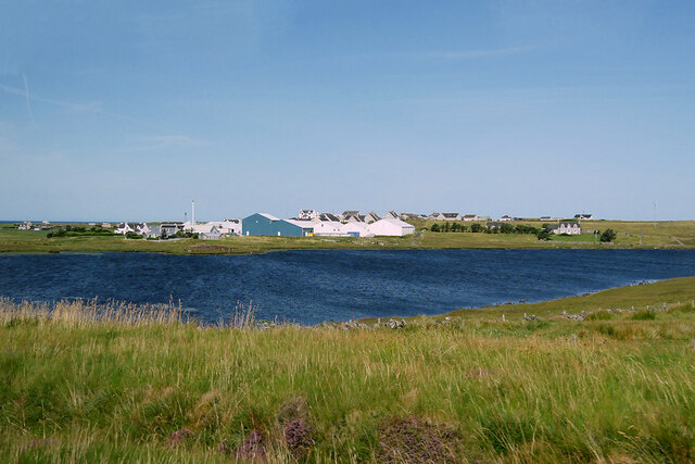
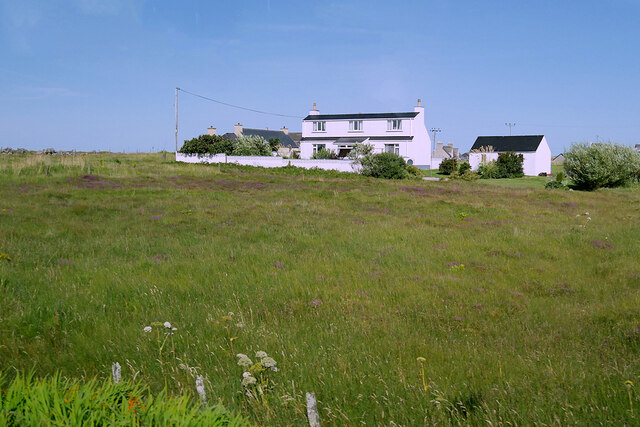
Loch Ordais is a picturesque body of water located in Ross-shire, Scotland. Nestled between the rolling hills and stunning landscapes, it is a popular destination for both locals and tourists alike. The loch is situated near the village of Aultbea, providing visitors with easy access to its calming waters.

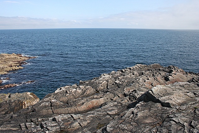
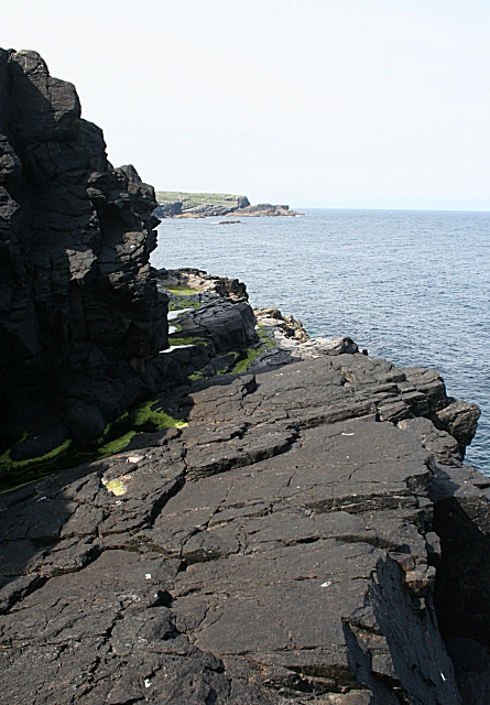
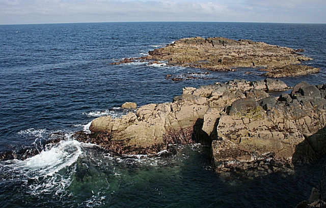
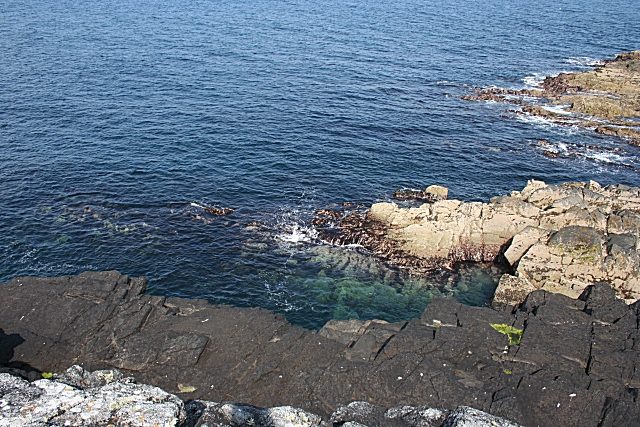
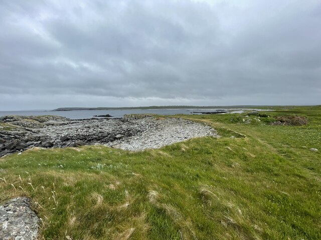
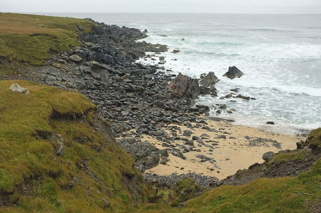
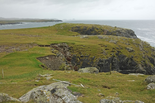
As a sea loch, Loch Ordais is connected to the sea by a narrow channel, creating a unique estuary environment. The tidal flow coming in from the sea mixes with the freshwater from the loch, resulting in a diverse ecosystem. This rich blend of saltwater and freshwater supports a wide variety of marine life, including fish, crustaceans, and seabirds.

The loch is relatively shallow, with an average depth of around 20 meters (65 feet). Its tranquil waters are perfect for recreational activities such as fishing, boating, and kayaking. Anglers can enjoy the thrill of catching species like brown trout and salmon, while boaters can explore the loch’s charming surroundings.

Loch Ordais is also home to a small creek that feeds into its waters. This creek, known as Allt nan Criche, adds to the loch’s natural beauty and is a great spot for nature enthusiasts to observe local wildlife. The surrounding area is abundant in native flora and fauna, making it a haven for hikers and nature lovers.

Overall, Loch Ordais is a serene and captivating destination that offers a unique blend of sea, estuary, and creek environments. Its stunning landscapes, diverse wildlife, and recreational opportunities make it a must-visit location for anyone exploring the Ross-shire region.

If you have any feedback on the listing, please let us know in the comments section below.
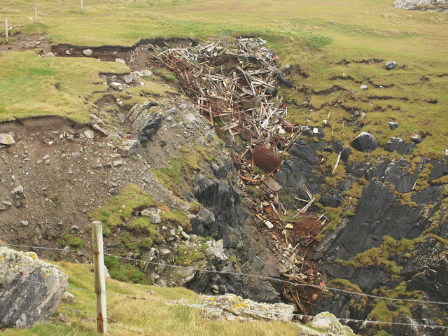
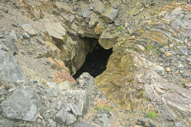
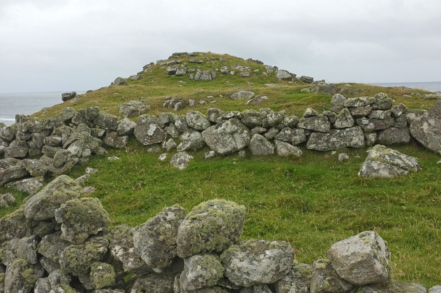
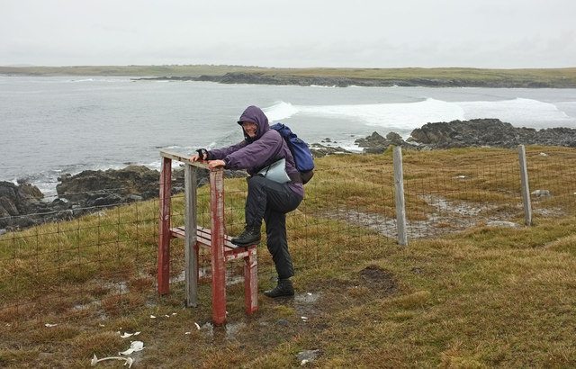
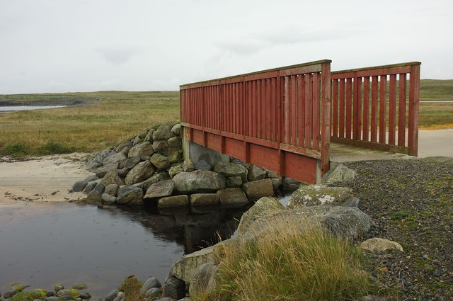
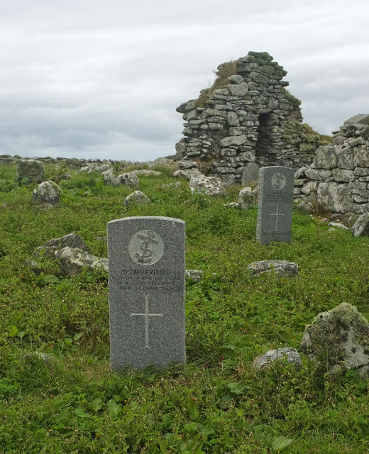
Loch Ordais Images

Images are sourced within 2km of 58.34204/-6.6451722 or Grid Reference NB2848. Thanks to Geograph Open Source API. All images are credited.

Aird Bheag Bhràgair A small area of the rocky headland here is the only land in this square.
Aird Bheag Bhràgair
A small area of the rocky headland here is the only land in this square.
Aird Bheag Bhràgair This rocky shelf, the rocks on the shore below, and a couple of offshore rocks, are the only land in this square.
Aird Bheag Bhràgair
This rocky shelf, the rocks on the shore below, and a couple of offshore rocks, are the only land in this square.
Sgeir Mhòr The grid line bisects these rock outcrops just off Aird Bheag Bhràgair.
Sgeir Mhòr
The grid line bisects these rock outcrops just off Aird Bheag Bhràgair.
Aird Bheag Bhràgair Looking down on the rocky shelf shown in <a href="https://www.geograph.org.uk/photo/1344440">NB2750 : Aird Bheag Bhràgair</a>.
Aird Bheag Bhràgair
Looking down on the rocky shelf shown in NB2750 : Aird Bheag Bhràgair.
Coastline of Lewis
Coastline of Lewis
The Whalebone Arch at Bragar The arch dates from 1920. It was made from the jawbone of a dead blue whale which was washed ashore in a nearby inlet Geodha nam Muc and has since become a tourist attraction. It is Category B-listed by Historic Environment Scotland (LB5767  <span class="nowrap"><a title="https://portal.historicenvironment.scot/designation/LB5767" rel="nofollow ugc noopener" href="https://portal.historicenvironment.scot/designation/LB5767">Link</a><img style="margin-left:2px;" alt="External link" title="External link - shift click to open in new window" src="https://s1.geograph.org.uk/img/external.png" width="10" height="10"/></span> ).

More information <span class="nowrap"><a title="https://www.britainexpress.com/scotland/Outer-Hebrides/whalebone-arch.htm" rel="nofollow ugc noopener" href="https://www.britainexpress.com/scotland/Outer-Hebrides/whalebone-arch.htm">Link</a><img style="margin-left:2px;" alt="External link" title="External link - shift click to open in new window" src="https://s1.geograph.org.uk/img/external.png" width="10" height="10"/></span> (Britain Express).
The Whalebone Arch at Bragar
The arch dates from 1920. It was made from the jawbone of a dead blue whale which was washed ashore in a nearby inlet Geodha nam Muc and has since become a tourist attraction. It is Category B-listed by Historic Environment Scotland (LB5767 LinkExternal link ). More information LinkExternal link (Britain Express).
Bragar Bragar (Bràgar) is a village situated on the A858 between Carloway and Barvas on the west side of the Isle of Lewis, 14 miles from the island's only town, Stornoway
Bragar
Bragar (Bràgar) is a village situated on the A858 between Carloway and Barvas on the west side of the Isle of Lewis, 14 miles from the island's only town, Stornoway
South Bragar
South Bragar
Loch na Muilne
Loch na Muilne
North  Shawbost
North Shawbost
Small beach east of Rubha Gharsan
Iuchair Like much of this coast, the sea has made deep cuts into the headland.

See <a href="https://www.geograph.org.uk/photo/2598514">NB2649 : Coastal rubbish dump</a> for a close up of the old rubbish dump in the nearer cut.
Iuchair
Like much of this coast, the sea has made deep cuts into the headland. See NB2649 : Coastal rubbish dump for a close up of the old rubbish dump in the nearer cut.
Coastal rubbish dump The sea used to be a convenient disposal point for all island rubbish. Here there are the remains of buildings, vehicle parts, and wire fencing,
Coastal rubbish dump
The sea used to be a convenient disposal point for all island rubbish. Here there are the remains of buildings, vehicle parts, and wire fencing,
Blow hole at Dunan Croir The sea has cut a cave deep into the cliff, and then created a hole in the roof of the cave. The hole is 2 or 3m across, and the floor of the cave perhaps 10m below.
Blow hole at Dunan Croir
The sea has cut a cave deep into the cliff, and then created a hole in the roof of the cave. The hole is 2 or 3m across, and the floor of the cave perhaps 10m below.
Dunan Croir This looks as if it might be a "little fort", hence the name. However Canmore reports that there is no evidence of artificial construction.

There is the remains of a rectangular enclosure in the foreground, but again Canmore dryly notes "Not an antiquity".
Dunan Croir
This looks as if it might be a "little fort", hence the name. However Canmore reports that there is no evidence of artificial construction. There is the remains of a rectangular enclosure in the foreground, but again Canmore dryly notes "Not an antiquity".
Bad stile near Labost This type of stile is used throughout the coastal walk from Bragar to Siabost.

It's an object lesson in how not to make a stile. Firstly the single step is much too high, as demonstrated by my able assistant. It risks pulled muscles, climbing up or jumping down.

Secondly, as everyone has to pull on the top bar to climb up, the bar soon breaks off. Half the stiles on this part of the walk had lost the bar. Once the bar comes off, the rest of the stile becomes unstable because the legs are long and there is no cross bracing.

Next, the mortice joint attaching the step to the back legs is too shallow. After we climbed over one stile, we found that the joint had come unscrewed and only a 1cm edge of wood on the wonky stile stopped it from collapsing.

Finally, to add damage to injury, the barbed wire of the fence is uncovered, so it catches rucsacks as you jump off.
Bad stile near Labost
This type of stile is used throughout the coastal walk from Bragar to Siabost. It's an object lesson in how not to make a stile. Firstly the single step is much too high, as demonstrated by my able assistant. It risks pulled muscles, climbing up or jumping down. Secondly, as everyone has to pull on the top bar to climb up, the bar soon breaks off. Half the stiles on this part of the walk had lost the bar. Once the bar comes off, the rest of the stile becomes unstable because the legs are long and there is no cross bracing. Next, the mortice joint attaching the step to the back legs is too shallow. After we climbed over one stile, we found that the joint had come unscrewed and only a 1cm edge of wood on the wonky stile stopped it from collapsing. Finally, to add damage to injury, the barbed wire of the fence is uncovered, so it catches rucsacks as you jump off.
Footbridge over Loch Ordais outflow This footbridge gives access to the coastal walk west from the car park at Bragar.
Footbridge over Loch Ordais outflow
This footbridge gives access to the coastal walk west from the car park at Bragar.
War graves at Bragar cemetery There are several war graves in the cemetery. Sadly, half of them bear the date 1st January 1919. 205 men returning to Lewis were drowned in the Iolaire disaster close to Stornoway.

The grave in the foreground has an even later date, 26 October 1919. Donald Morrison served on HMS Pontefract, a minesweeper, and died in an accident.
War graves at Bragar cemetery
There are several war graves in the cemetery. Sadly, half of them bear the date 1st January 1919. 205 men returning to Lewis were drowned in the Iolaire disaster close to Stornoway. The grave in the foreground has an even later date, 26 October 1919. Donald Morrison served on HMS Pontefract, a minesweeper, and died in an accident.
Show me another place!

Loch Ordais is located at Grid Ref: NB2848 (Lat: 58.34204, Lng: -6.6451722)

Unitary Authority: Na h-Eileanan an Iar

Police Authority: Highlands and Islands

What 3 Words

///drill.cuddled.pounces. Near Carloway, Na h-Eileanan Siar

Related Wikis

Bragar

Bragar (Scottish Gaelic: Bràgar, pronounced [braːgər]) is a village on the west side of the Isle of Lewis in the Outer Hebrides, Scotland, 14 miles (23...

Arnol

Arnol (Scottish Gaelic: Àrnol) is a small village typical of many settlements of the west coast of the Isle of Lewis, in the Outer Hebrides, Scotland....

Shawbost

Shawbost (Scottish Gaelic: Siabost) is a large village in the West Side of the Isle of Lewis. The village of Shawbost has a population of around 500 and...

Mullen Bridge

Mullen Bridge is an old bridge crossing the Royal Canal in Maynooth in County Kildare, Ireland. It was built between 1790 and 1800.The bridge used to carry...

Nearby Amenities

Located within 500m of 58.34204,-6.6451722
Leisure: slipway
Lat/Long: 58.3436421/-6.6388416
Power: pole
Lat/Long: 58.3393291/-6.6517793
Power: pole
Lat/Long: 58.3390123/-6.6506852
Power: pole
Lat/Long: 58.3384255/-6.6502595
Power: pole
Lat/Long: 58.341279/-6.6535125
Power: pole
Lat/Long: 58.340468/-6.6530517
Passing Place
Lat/Long: 58.3441061/-6.6376887
Passing Place
Lat/Long: 58.3438443/-6.6503148
Barrier: cattle_grid
Lat/Long: 58.3439374/-6.6495641
The data included in this document is from www.openstreetmap.org. The data is made available under ODbL.

Have you been to Loch Ordais?

Leave your review of Loch Ordais below (or comments, questions and feedback).