Gruinart Flats

Downs, Moorland in Argyllshire

Scotland

Gruinart Flats

En route to Maol na Coille
En route to Maol na Coille Credit: thejackrustles

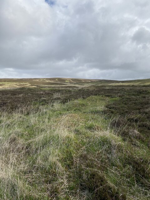
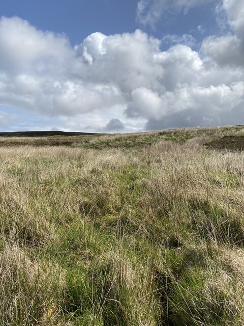
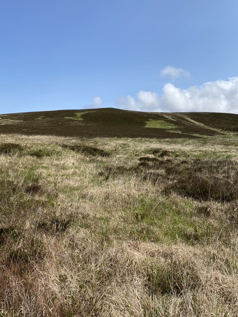
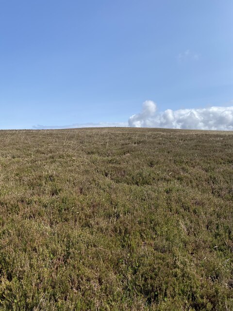
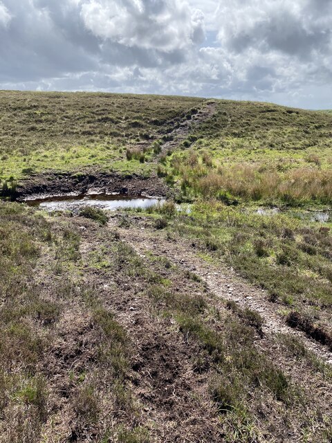
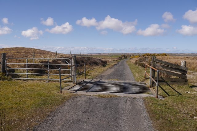
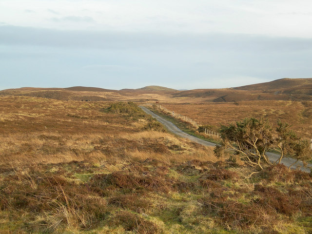
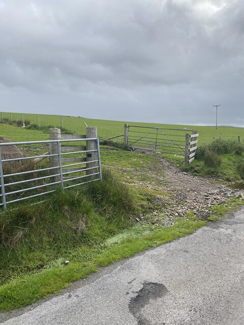
Gruinart Flats, located in Argyllshire, Scotland, is a vast expanse of downs and moorland that stretches across approximately 9,000 acres. Situated on the northeastern coast of the Isle of Islay, this unique landscape offers a captivating blend of natural beauty and ecological significance.

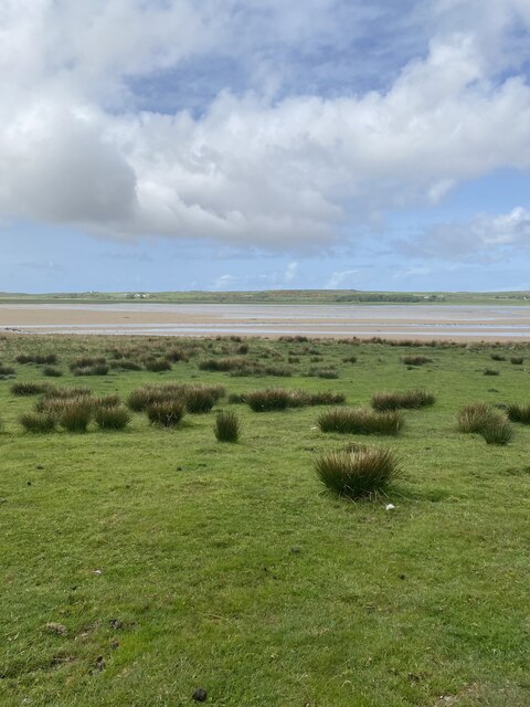
The flats are characterized by their low-lying, level terrain, interspersed with wetlands, marshes, and grassy meadows. It is a haven for a diverse range of wildlife, especially migratory birds, making it an important area for birdwatching and ornithological research. The flats are home to numerous species, including geese, ducks, waders, and raptors, with over 140 different bird species recorded in the area.

The wetland habitats of Gruinart Flats are of international importance, designated as a Special Protection Area and a Ramsar site due to their ecological significance and the presence of rare and endangered species. The flats provide nesting and feeding grounds for a variety of waterfowl and wading birds during the breeding season and serve as a crucial stopover site for thousands of migratory birds during their long journeys.

Aside from its ecological importance, Gruinart Flats offers visitors a tranquil and picturesque setting. The wide-open spaces, rolling hills, and panoramic views of the surrounding coastline make it a popular destination for nature lovers, hikers, and photographers.

Managed by the Royal Society for the Protection of Birds (RSPB), Gruinart Flats provides nature enthusiasts with several well-maintained trails and observation hides, allowing them to explore and appreciate the diverse wildlife and stunning landscapes this area has to offer.

If you have any feedback on the listing, please let us know in the comments section below.

Gruinart Flats Images

Images are sourced within 2km of 55.819798/-6.3277919 or Grid Reference NR2966. Thanks to Geograph Open Source API. All images are credited.

En route to Maol na Coille
Moorland en route to Maol na Coille
ATV track
ATV track
Cattlegrid, Torran na Feannaige
Moorland near Coullabus Taken in February, this photograph shows the rich winter colours of the moor.
Moorland near Coullabus
Taken in February, this photograph shows the rich winter colours of the moor.
Hill near Coullabus
Hill near Coullabus
Moorland near Coullabus
Moorland, to the South of Cnoc Liath, Islay Grasses, moss and bog with occasional clumps of low heather
Moorland, to the South of Cnoc Liath, Islay
Grasses, moss and bog with occasional clumps of low heather
Track at Corsapol, Islay
Looking towards Loch Gruinart from Maol na Sròine, Islay
Track between Maol na Sròine  and Maol na Coille, Islay
Track between Maol na Sròine and Maol na Coille, Islay
Moorland at Torran na Feannaige Looking north over rough grassland and heather.
Moorland at Torran na Feannaige
Looking north over rough grassland and heather.
Ath an Fhiona, Islay Once a blacksmith's, this property has, at some time, belonged to someone called Fiona. As a blacksmith's, and therefore a semi-permanent building, it was a suitable place for an Ordnance Survey benchmark, which is still just visible to the left of the downpipe. Described on the database at <span class="nowrap"><a title="http://www.bench-marks.org.uk/bm63349" rel="nofollow ugc noopener" href="http://www.bench-marks.org.uk/bm63349">Link</a><img style="margin-left:2px;" alt="External link" title="External link - shift click to open in new window" src="https://s1.geograph.org.uk/img/external.png" width="10" height="10"/></span>. See also <a href="https://www.geograph.org.uk/photo/4302379">NR3065 : Benchmark on Allt an Fhiona, Islay</a>.
Ath an Fhiona, Islay
Once a blacksmith's, this property has, at some time, belonged to someone called Fiona. As a blacksmith's, and therefore a semi-permanent building, it was a suitable place for an Ordnance Survey benchmark, which is still just visible to the left of the downpipe. Described on the database at LinkExternal link. See also NR3065 : Benchmark on Allt an Fhiona, Islay.
Benchmark on Allt an Fhiona, Islay Once a blacksmith's, this property has, at some time, belonged to someone called Fiona. As a blacksmith's, and therefore a semi-permanent building, it was a suitable place for an Ordnance Survey benchmark, described on the database at <span class="nowrap"><a title="http://www.bench-marks.org.uk/bm63349" rel="nofollow ugc noopener" href="http://www.bench-marks.org.uk/bm63349">Link</a><img style="margin-left:2px;" alt="External link" title="External link - shift click to open in new window" src="https://s1.geograph.org.uk/img/external.png" width="10" height="10"/></span>. See also <a href="https://www.geograph.org.uk/photo/4302371">NR3065 : Ath an Fhiona, Islay</a>.
Benchmark on Allt an Fhiona, Islay
Once a blacksmith's, this property has, at some time, belonged to someone called Fiona. As a blacksmith's, and therefore a semi-permanent building, it was a suitable place for an Ordnance Survey benchmark, described on the database at LinkExternal link. See also NR3065 : Ath an Fhiona, Islay.
Loch Gruinart
Loch Gruinart
Open gate near Loch Gruinart
Show me another place!

Gruinart Flats is located at Grid Ref: NR2966 (Lat: 55.819798, Lng: -6.3277919)

Unitary Authority: Argyll and Bute

Police Authority: Argyll and West Dunbartonshire

What 3 Words

///gentle.novelists.delved. Near Bridgend, Argyll & Bute

Nearby Locations

Gruinart Flats

Related Wikis

Gruinart Flats

The Gruinart Flats is a low-lying landform on the western part of the isle of Islay in Scotland. The locale is an important conservation area, having been...

Battle of Traigh Ghruinneart

The Battle of Traigh Ghruinneart or in Scottish Gaelic Blàr Tràigh Ghruineart or sometimes called the Battle of Gruinart Strand was a Scottish clan battle...

Loch Gruinart

Loch Gruinart (Scottish Gaelic: Loch Gruinneard from the Old Norse, meaning "shallow fjord") is a sea loch on the northern coast of isle of Islay in Scotland...

Loch Gorm Castle

Loch Gorm Castle is a ruined castle located on Eilean Mòr (big island) on Loch Gorm, Islay, Scotland. It was once a stronghold of Clan Macdonald. The castle...

Nearby Amenities

Located within 500m of 55.819798,-6.3277919
Post Box
Description: At west end of Loch Gruinart House.
Ref: PA44 16
Lat/Long: 55.8162965/-6.3286775
Loch Gruinart House
Tourism: hotel
Lat/Long: 55.8163855/-6.3284468
Power: pole
Lat/Long: 55.8169181/-6.3291697
Power: pole
Lat/Long: 55.8160005/-6.3251215
Power: pole
Lat/Long: 55.8163104/-6.3264885
Power: pole
Lat/Long: 55.8166103/-6.3278118
Power: pole
Lat/Long: 55.8163678/-6.3232819
Power: pole
Lat/Long: 55.817039/-6.322753
Power: pole
Lat/Long: 55.8178034/-6.3221505
Power: pole
Lat/Long: 55.8185763/-6.3215415
Power: pole
Lat/Long: 55.8193538/-6.3209287
Power: pole
Lat/Long: 55.8201035/-6.3203379
The data included in this document is from www.openstreetmap.org. The data is made available under ODbL.

Have you been to Gruinart Flats?

Leave your review of Gruinart Flats below (or comments, questions and feedback).