West Cliff
Cliff, Slope in Kent Thanet
England
West Cliff
West Cliff is a prominent geographical feature located in the county of Kent, England. Situated on the southeastern coast, this cliff commands breathtaking views of the English Channel and the surrounding countryside. Rising to a height of approximately 30 meters (98 feet), it stretches for about 1.5 kilometers (0.9 miles), offering visitors an impressive display of rugged beauty.
The cliff is characterized by its steep slope, which is primarily composed of chalk and flint. Its white facade is a striking contrast against the lush greenery that adorns its crest, creating a picturesque scene that has captivated tourists for generations. The cliff's face is subject to natural erosion, which has shaped its contours over time, resulting in a jagged and dramatic appearance.
West Cliff is a popular destination for outdoor enthusiasts, offering a variety of activities for visitors to enjoy. Hiking trails wind their way along the cliff's edge, providing breathtaking panoramas of the coastline. The beach at the foot of the cliff provides opportunities for sunbathing, picnicking, and exploring the tide pools that emerge during low tide.
In addition to its natural splendor, West Cliff is also home to a vibrant community of flora and fauna. The cliffside is adorned with an array of wildflowers, including sea kale and thrift, which bloom in vibrant colors during the spring and summer months. Birdwatchers flock to the area to observe the numerous species that inhabit the cliff, such as gulls, peregrine falcons, and cormorants.
Overall, West Cliff in Kent is a stunning and diverse landscape that offers visitors an opportunity to immerse themselves in nature's beauty while enjoying a range of outdoor activities.
If you have any feedback on the listing, please let us know in the comments section below.
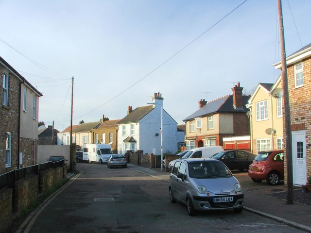
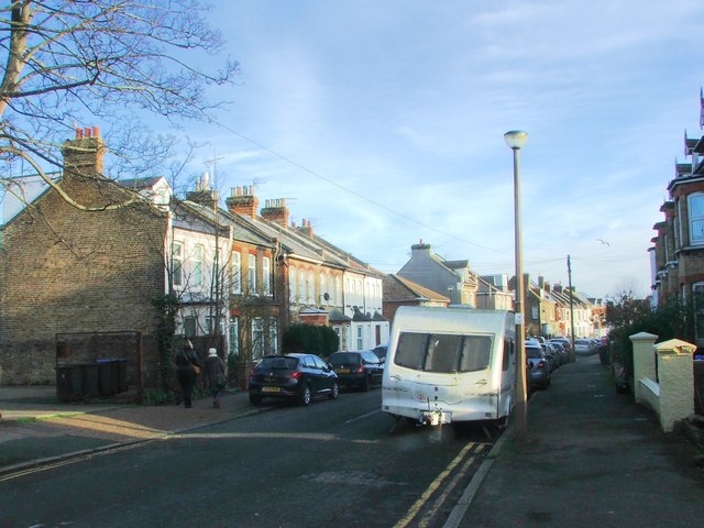
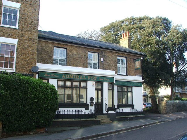
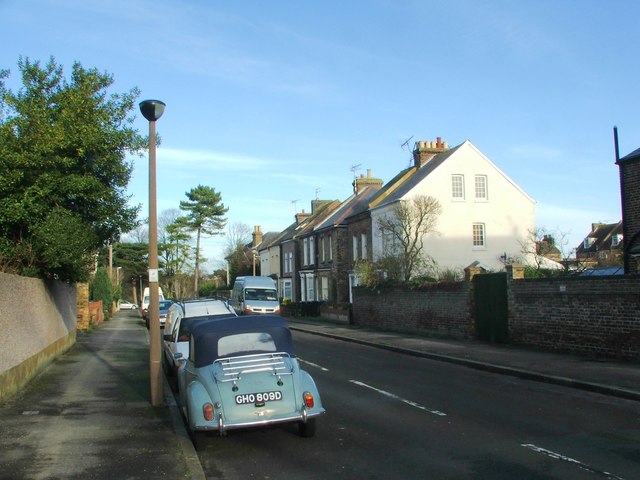
West Cliff Images
Images are sourced within 2km of 51.326887/1.391623 or Grid Reference TR3664. Thanks to Geograph Open Source API. All images are credited.

West Cliff is located at Grid Ref: TR3664 (Lat: 51.326887, Lng: 1.391623)
Administrative County: Kent
District: Thanet
Police Authority: Kent
What 3 Words
///encrusted.ends.solutions. Near Ramsgate, Kent
Nearby Locations
Related Wikis

Lord of the Manor, Kent
The Lord of the Manor is a former pub and road junction near Cliffsend on the Isle of Thanet in Kent. Two main roads, the A299 and A256 meet here and connect...
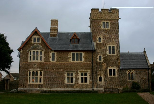
The Grange, Ramsgate
The Grange , Ramsgate, Kent, on the coast of southern England was designed by the Victorian architect and designer Augustus Pugin for himself. Built between...

St Augustine's Church, Ramsgate
St Augustine's Church or the Shrine of St Augustine of Canterbury is a Roman Catholic church in Ramsgate, Kent. It was the personal church of Augustus...

St Augustine's Abbey, Ramsgate
St Augustine's Abbey or Ramsgate Abbey is a former Benedictine abbey in Ramsgate. It was built in 1860 by Augustus Pugin and is a Grade II listed building...
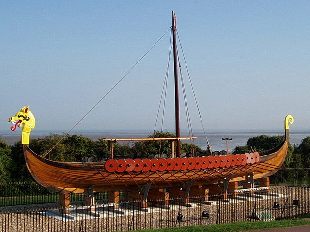
Hugin (longship)
The Hugin is a reconstructed longship located at Pegwell Bay in Kent, England. It was a gift from the Danish government commemorating the 1500th anniversary...
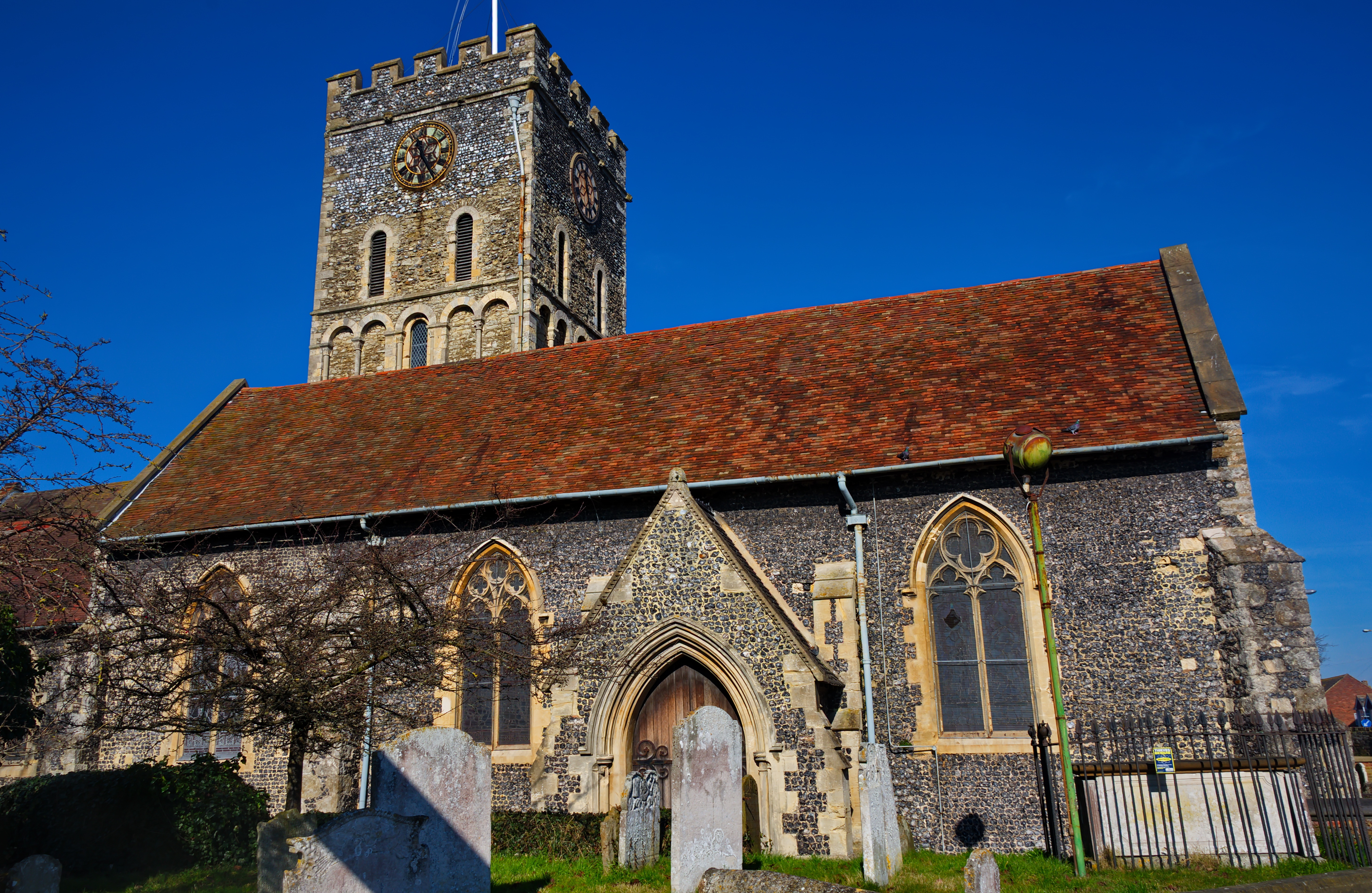
St Laurence's Church, Ramsgate
St Laurence's Church, also known as St Laurence-in-Thanet, is a Church of England parish church in Ramsgate, Thanet, Kent. == History == The church, founded...
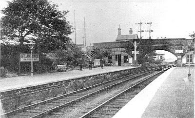
St Lawrence for Pegwell Bay railway station
St Lawrence for Pegwell Bay railway station was a railway station at Ramsgate, Kent, England that was opened by the South Eastern Railway in 1864 and closed...

Port of Ramsgate
The Port of Ramsgate (also known as Port Ramsgate, Ramsgate Harbour, and Royal Harbour, Ramsgate) is a harbour situated in Ramsgate, south-east England...
Nearby Amenities
Located within 500m of 51.326887,1.391623Have you been to West Cliff?
Leave your review of West Cliff below (or comments, questions and feedback).