Chilton
Settlement in Kent Thanet
England
Chilton
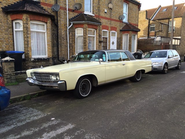
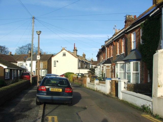
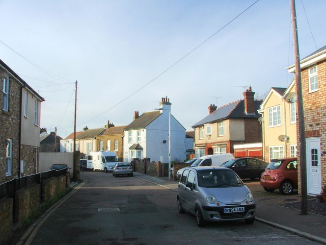
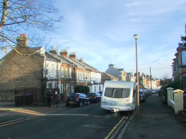
Chilton is a small village located in the county of Kent, England. Situated approximately 5 miles east of the town of Sittingbourne and 45 miles southeast of London, it falls within the Swale district. Chilton is a predominantly rural area known for its picturesque countryside and tranquil surroundings.
The village is home to a close-knit community, with a population of around 500 residents. The area offers a range of amenities and services, including a local primary school, village hall, and a parish church. There are also a few small businesses and shops catering to the needs of the community.
Chilton is surrounded by beautiful natural landscapes, making it a popular destination for outdoor activities such as walking, cycling, and horse riding. The village is surrounded by rolling hills, farmland, and wooded areas, providing ample opportunities for exploration and relaxation in nature.
Although Chilton is a quiet and peaceful village, it benefits from its proximity to larger towns and cities. Sittingbourne, with its wider range of amenities, including shopping centers, restaurants, and leisure facilities, is just a short drive away. The village is also well-connected through road networks, with easy access to the A2 and M2 motorways, providing convenient links to London and other parts of Kent.
Overall, Chilton offers a tranquil and idyllic setting for those seeking a peaceful countryside lifestyle, while still providing easy access to nearby urban centers.
If you have any feedback on the listing, please let us know in the comments section below.
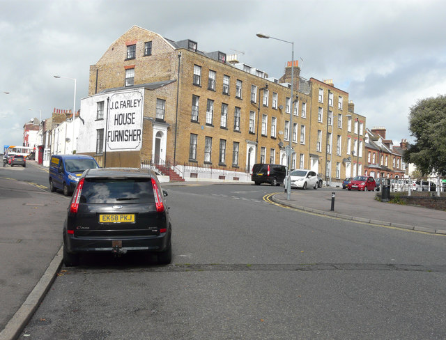
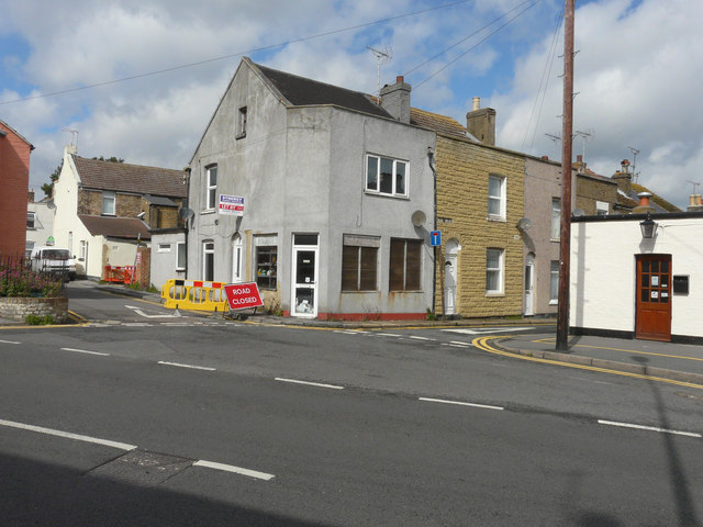
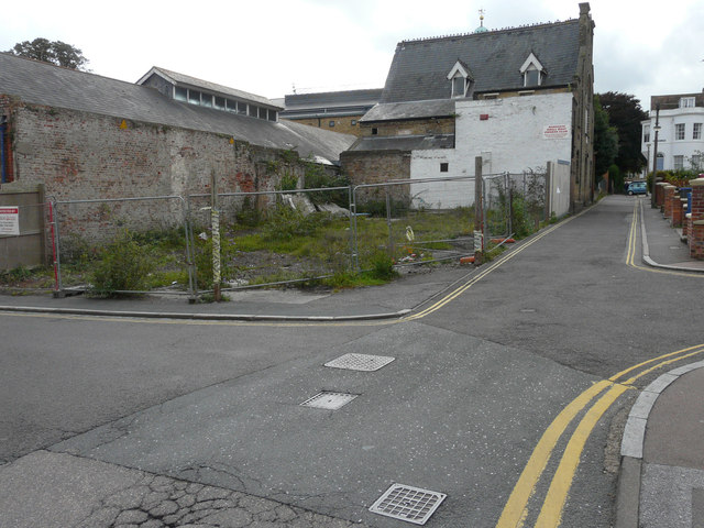
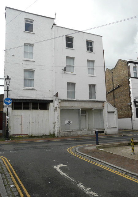
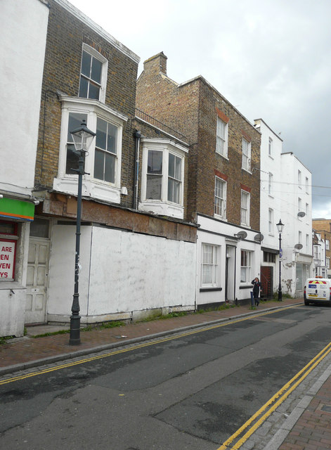
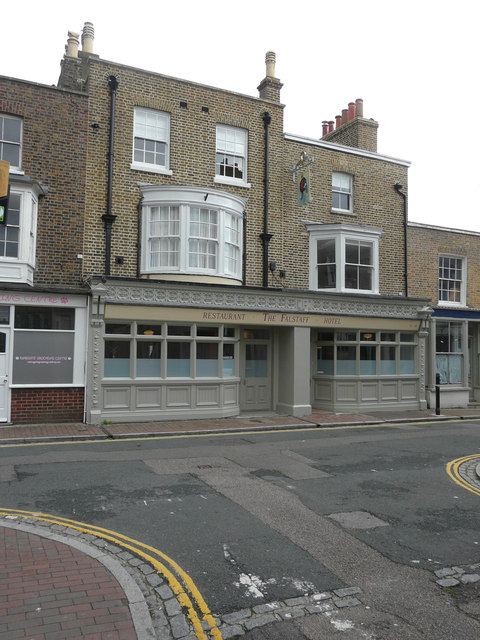
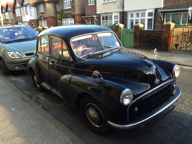
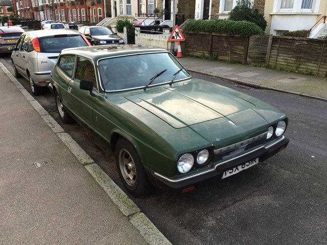
Chilton Images
Images are sourced within 2km of 51.332381/1.390846 or Grid Reference TR3664. Thanks to Geograph Open Source API. All images are credited.


Chilton is located at Grid Ref: TR3664 (Lat: 51.332381, Lng: 1.390846)
Administrative County: Kent
District: Thanet
Police Authority: Kent
What 3 Words
///acting.bloodshot.lower. Near Ramsgate, Kent
Nearby Locations
Related Wikis

Lord of the Manor, Kent
The Lord of the Manor is a former pub and road junction near Cliffsend on the Isle of Thanet in Kent. Two main roads, the A299 and A256 meet here and connect...
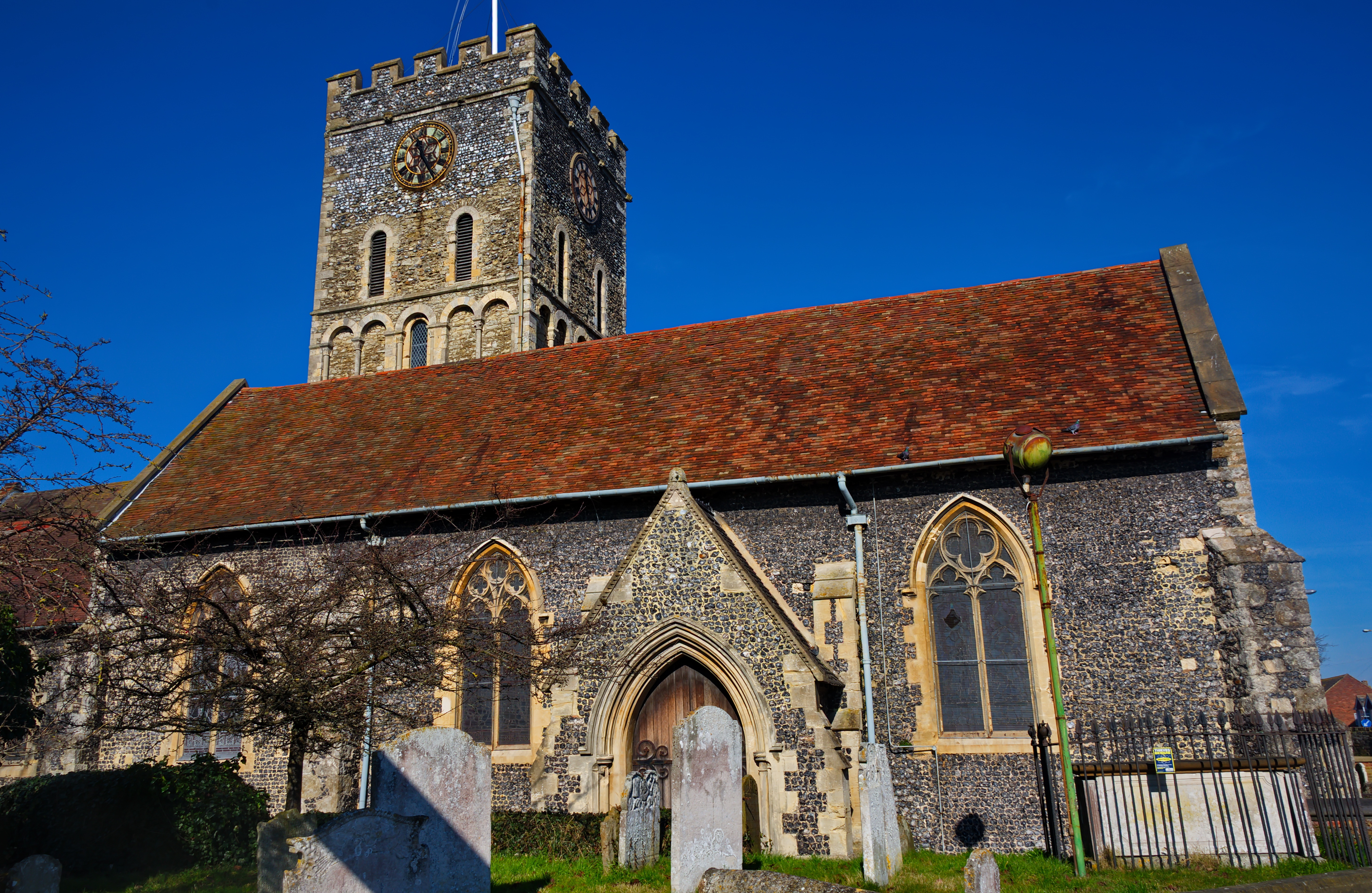
St Laurence's Church, Ramsgate
St Laurence's Church, also known as St Laurence-in-Thanet, is a Church of England parish church in Ramsgate, Thanet, Kent. == History == The church, founded...
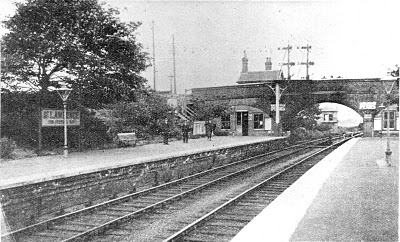
St Lawrence for Pegwell Bay railway station
St Lawrence for Pegwell Bay railway station was a railway station at Ramsgate, Kent, England that was opened by the South Eastern Railway in 1864 and closed...
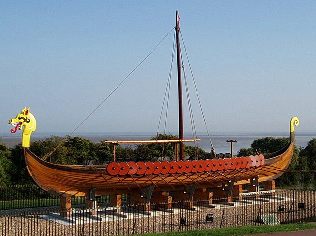
Hugin (longship)
The Hugin is a reconstructed longship located at Pegwell Bay in Kent, England. It was a gift from the Danish government commemorating the 1500th anniversary...
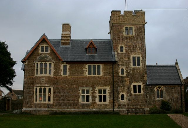
The Grange, Ramsgate
The Grange , Ramsgate, Kent, on the coast of southern England was designed by the Victorian architect and designer Augustus Pugin for himself. Built between...
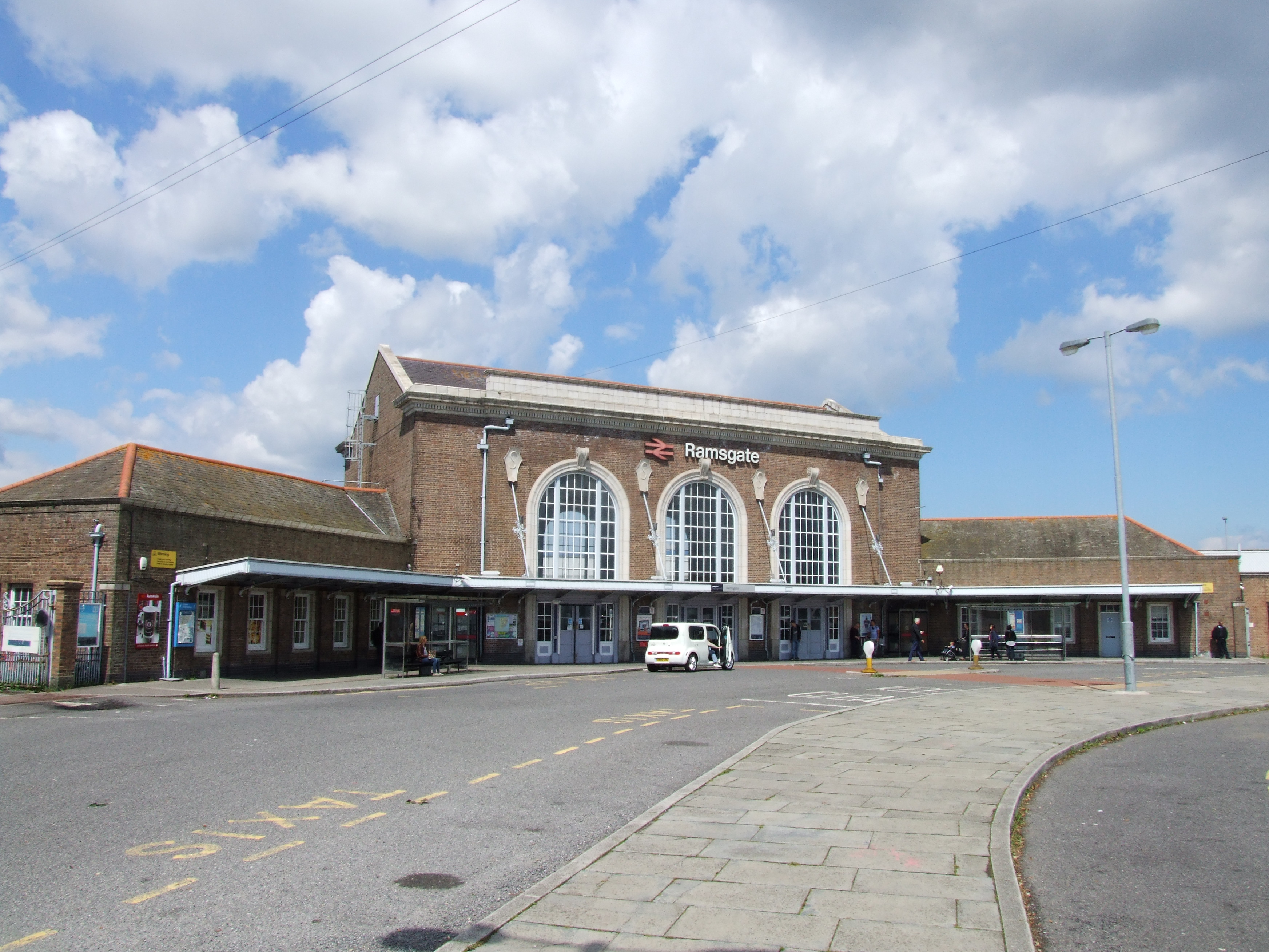
Ramsgate railway station
Ramsgate railway station serves the town of Ramsgate in Thanet in Kent, England. The station lies on the Chatham Main Line, 79 miles 21 chains (127.6 km...

St Augustine's Abbey, Ramsgate
St Augustine's Abbey or Ramsgate Abbey is a former Benedictine abbey in Ramsgate. It was built in 1860 by Augustus Pugin and is a Grade II listed building...

St Augustine's Church, Ramsgate
St Augustine's Church or the Shrine of St Augustine of Canterbury is a Roman Catholic church in Ramsgate, Kent. It was the personal church of Augustus...
Nearby Amenities
Located within 500m of 51.332381,1.390846Have you been to Chilton?
Leave your review of Chilton below (or comments, questions and feedback).