Pegwell
Settlement in Kent Thanet
England
Pegwell
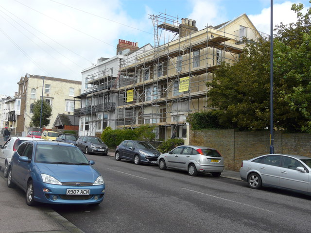
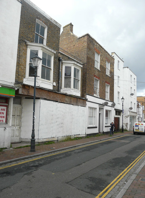
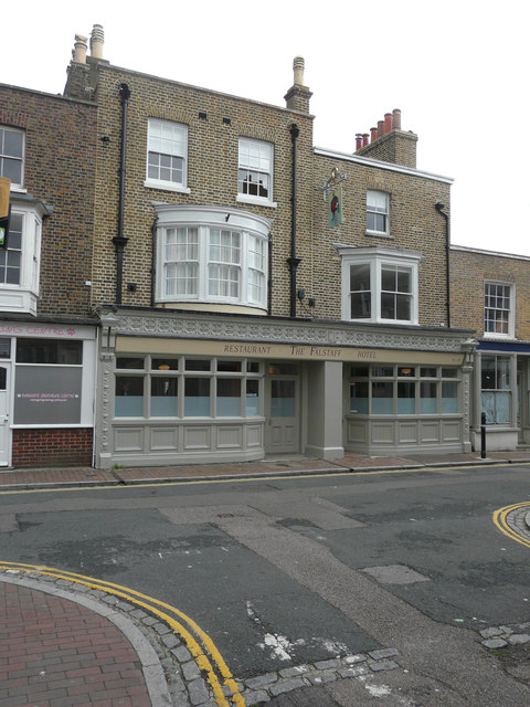
Pegwell is a small village located in the Dover district of Kent, England. Situated on the northeastern coast of the county, it is part of the larger town of Ramsgate. Pegwell is known for its beautiful natural surroundings, historical significance, and popular tourist attractions.
One of the key features of Pegwell is its stunning coastline. The village is bordered by Pegwell Bay, a picturesque stretch of sandy beach and chalk cliffs. The bay is a designated nature reserve and is home to a rich variety of wildlife, including migratory birds, seals, and rare plants. The area is loved by birdwatchers and nature enthusiasts alike.
Historically, Pegwell holds great importance as the site where St. Augustine, the first Archbishop of Canterbury, landed in 597 AD to bring Christianity to England. The landing is commemorated by the St. Augustine's Cross, a granite cross erected on the cliff top. Additionally, Pegwell Bay was the chosen location for an experimental hoverport in the 1960s, making it a significant site in the history of transportation.
In terms of attractions, Pegwell offers visitors a range of options. The village is home to the Pegwell Bay Hotel, a charming accommodation option with stunning views of the bay. Nearby, visitors can explore the Pegwell Bay Country Park, which offers walking trails, picnic areas, and educational displays about the local flora and fauna. The village is also within close proximity to Ramsgate, which boasts a bustling harbor, sandy beaches, and a variety of shops, restaurants, and entertainment options.
Overall, Pegwell is a picturesque village with a rich history and natural beauty, making it an ideal destination for those seeking tranquility, outdoor activities, and a glimpse into England's past.
If you have any feedback on the listing, please let us know in the comments section below.
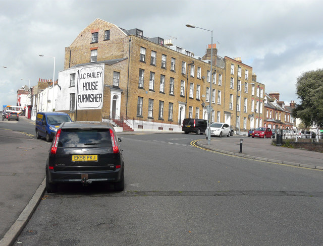
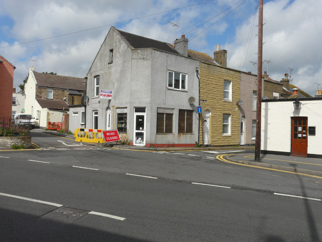
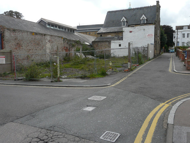
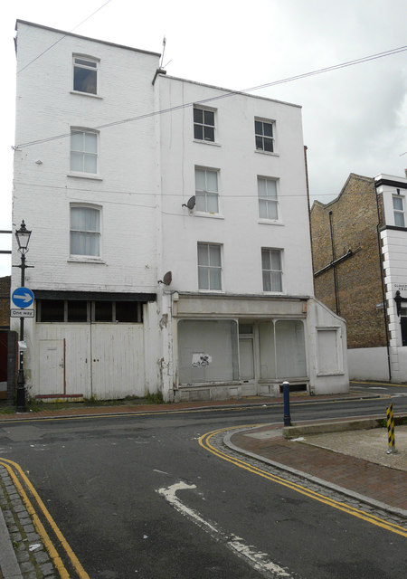
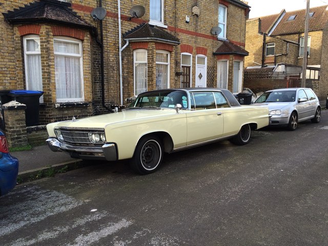
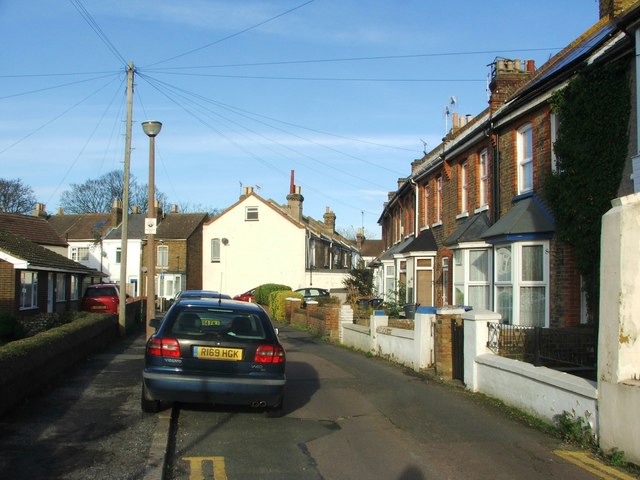
Pegwell Images
Images are sourced within 2km of 51.328867/1.394176 or Grid Reference TR3664. Thanks to Geograph Open Source API. All images are credited.


Pegwell is located at Grid Ref: TR3664 (Lat: 51.328867, Lng: 1.394176)
Administrative County: Kent
District: Thanet
Police Authority: Kent
What 3 Words
///ideal.remedy.regress. Near Ramsgate, Kent
Nearby Locations
Related Wikis
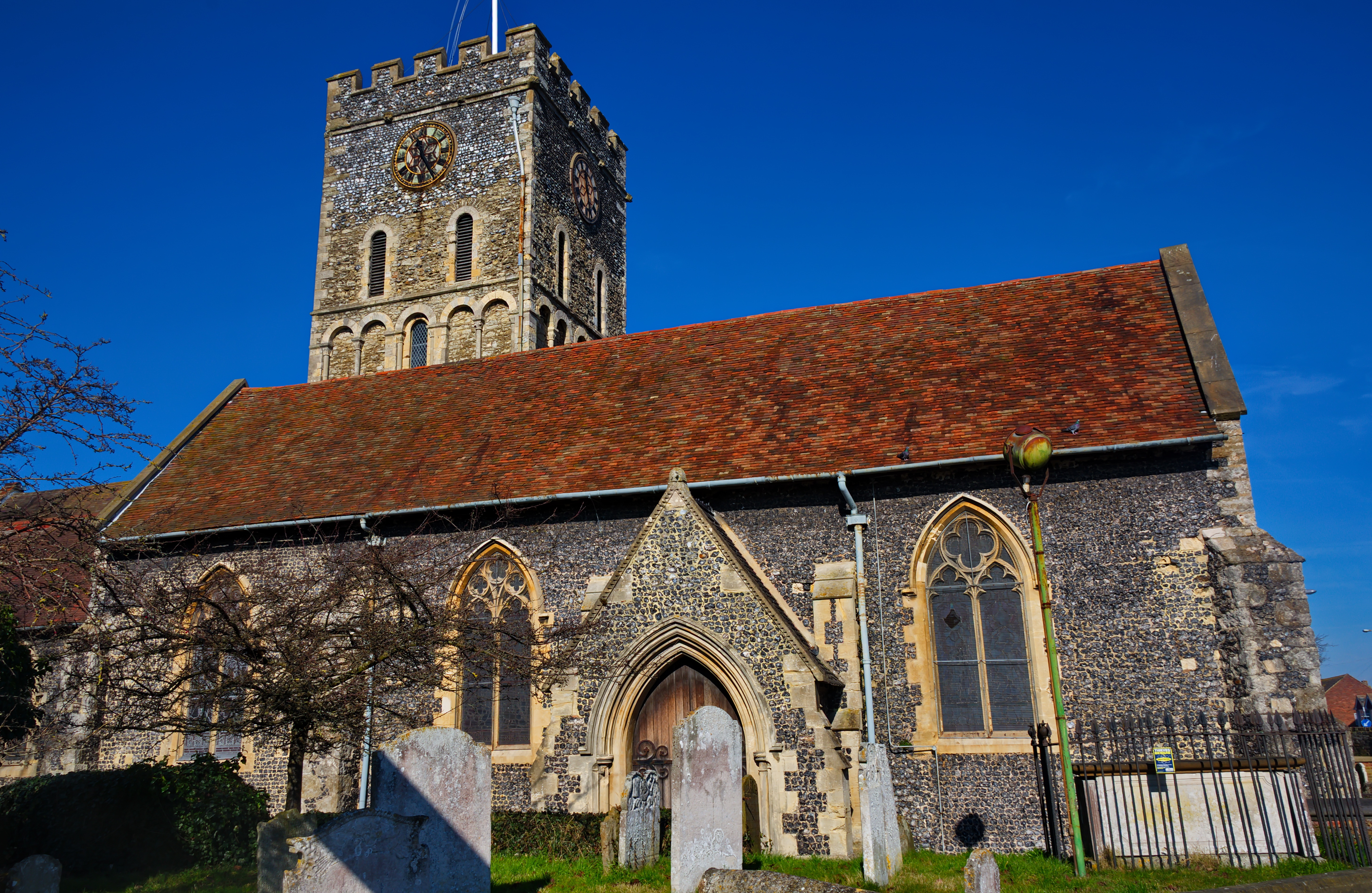
St Laurence's Church, Ramsgate
St Laurence's Church, also known as St Laurence-in-Thanet, is a Church of England parish church in Ramsgate, Thanet, Kent. == History == The church, founded...
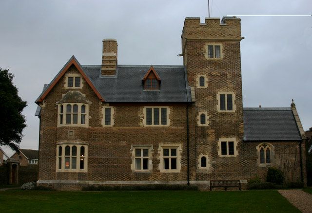
The Grange, Ramsgate
The Grange , Ramsgate, Kent, on the coast of southern England was designed by the Victorian architect and designer Augustus Pugin for himself. Built between...

St Augustine's Abbey, Ramsgate
St Augustine's Abbey or Ramsgate Abbey is a former Benedictine abbey in Ramsgate. It was built in 1860 by Augustus Pugin and is a Grade II listed building...

St Augustine's Church, Ramsgate
St Augustine's Church or the Shrine of St Augustine of Canterbury is a Roman Catholic church in Ramsgate, Kent. It was the personal church of Augustus...

Lord of the Manor, Kent
The Lord of the Manor is a former pub and road junction near Cliffsend on the Isle of Thanet in Kent. Two main roads, the A299 and A256 meet here and connect...
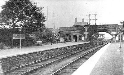
St Lawrence for Pegwell Bay railway station
St Lawrence for Pegwell Bay railway station was a railway station at Ramsgate, Kent, England that was opened by the South Eastern Railway in 1864 and closed...
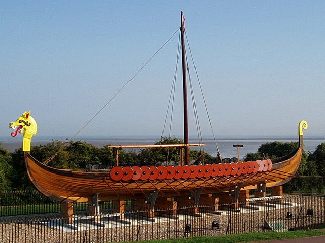
Hugin (longship)
The Hugin is a reconstructed longship located at Pegwell Bay in Kent, England. It was a gift from the Danish government commemorating the 1500th anniversary...

Port of Ramsgate
The Port of Ramsgate (also known as Port Ramsgate, Ramsgate Harbour, and Royal Harbour, Ramsgate) is a harbour situated in Ramsgate, south-east England...
Nearby Amenities
Located within 500m of 51.328867,1.394176Have you been to Pegwell?
Leave your review of Pegwell below (or comments, questions and feedback).