Bawdsey Cliff
Cliff, Slope in Suffolk East Suffolk
England
Bawdsey Cliff
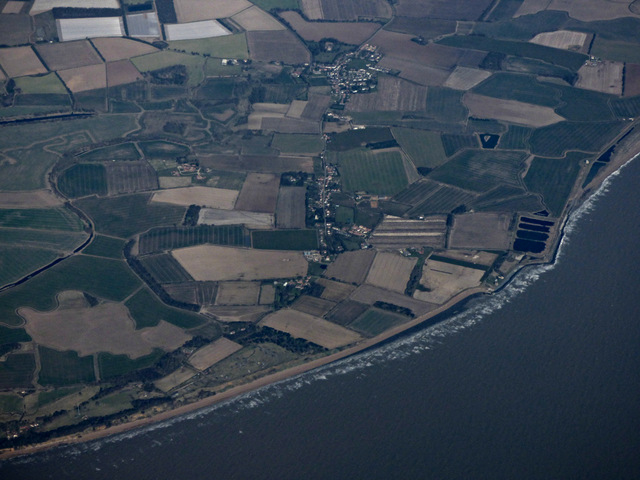
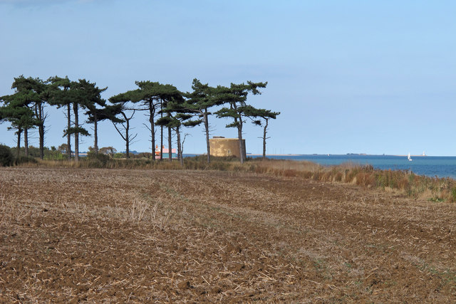
Bawdsey Cliff is a prominent coastal feature located in Suffolk, England. It stretches along the eastern coastline, overlooking the North Sea. This cliff forms part of the Bawdsey Peninsula, a narrow strip of land that juts out into the sea.
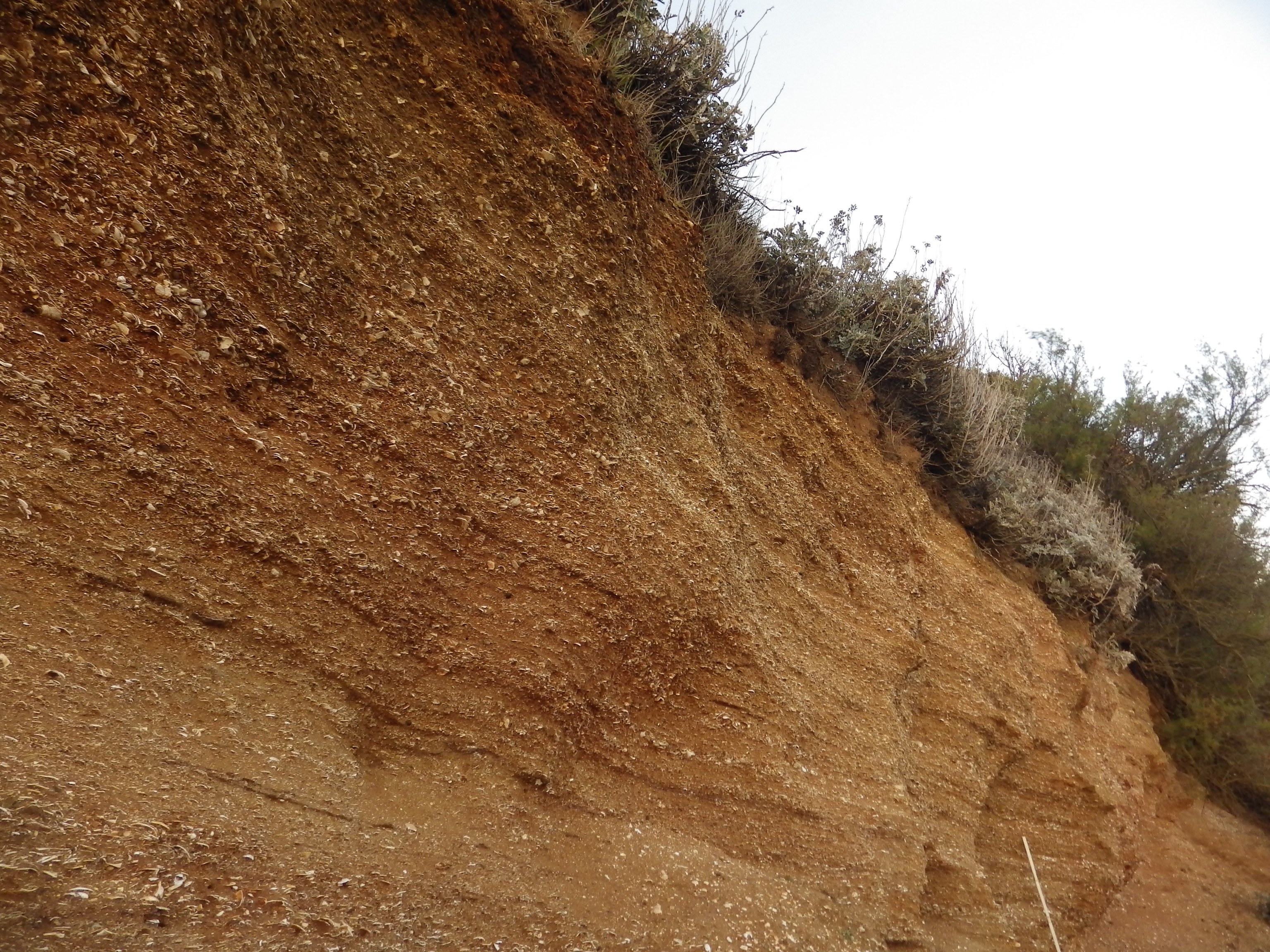
The cliff rises to a height of approximately 15 meters, providing breathtaking views of the surrounding area. It is composed mainly of soft sandy and clayey deposits, which have been shaped by erosion over thousands of years. The cliff face exhibits layers of sediment, providing a glimpse into the geological history of the region.
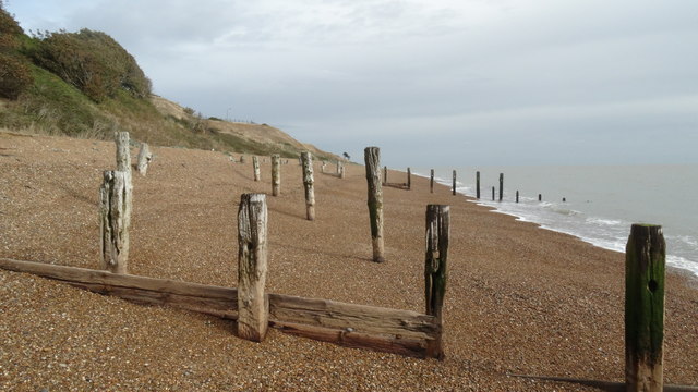
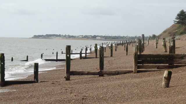
The slope of Bawdsey Cliff is relatively gentle, allowing for easy access to the beach below. The beach itself is a mixture of sand, shingle, and pebbles. At low tide, expansive stretches of sand are exposed, creating an ideal environment for beachcombing and exploring.
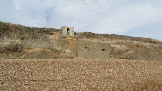
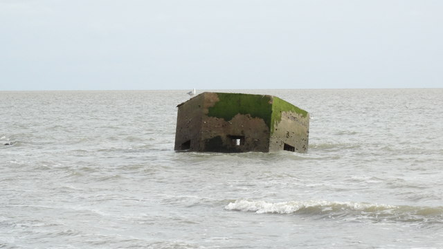
Due to its exposed location, Bawdsey Cliff is subject to the powerful forces of coastal erosion. The constant battering of waves and the impact of weathering can cause sections of the cliff to collapse into the sea. As a result, caution is advised when walking along the cliff edge, and it is important to respect any warning signs or barriers put in place.
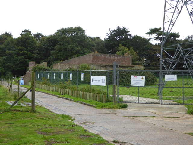
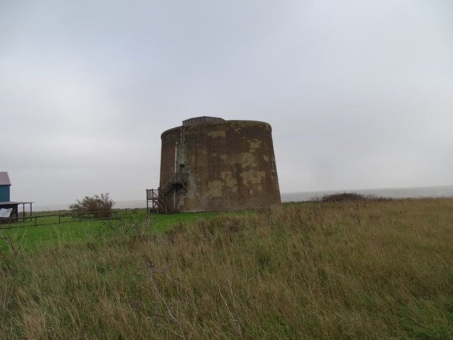
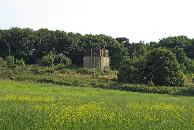
Bawdsey Cliff is not only significant from a geological perspective but also holds historical importance. It sits adjacent to the former Bawdsey Manor, which played a crucial role in the development of radar technology during World War II. Today, the area attracts visitors who are drawn to its natural beauty, historical significance, and the opportunity to enjoy coastal activities such as walking, birdwatching, and picnicking.
If you have any feedback on the listing, please let us know in the comments section below.
Bawdsey Cliff Images
Images are sourced within 2km of 51.996103/1.4152593 or Grid Reference TM3438. Thanks to Geograph Open Source API. All images are credited.


Bawdsey Cliff is located at Grid Ref: TM3438 (Lat: 51.996103, Lng: 1.4152593)
Administrative County: Suffolk
District: East Suffolk
Police Authority: Suffolk
What 3 Words
///wordplay.pupils.steroids. Near Felixstowe, Suffolk
Nearby Locations
Related Wikis

Bawdsey Cliff
Bawdsey Cliff is a 17.4-hectare (43-acre) geological Site of Special Scientific Interest north-east of Felixstowe in Suffolk. It is a Geological Conservation...
Red Crag Formation
The Red Crag Formation is a geological formation in England. It outcrops in south-eastern Suffolk and north-eastern Essex. The name derives from its iron...

RAF Bawdsey
Royal Air Force Bawdsey or more simply RAF Bawdsey is a former Royal Air Force station situated on the eastern coast in Suffolk, England. Also known as...

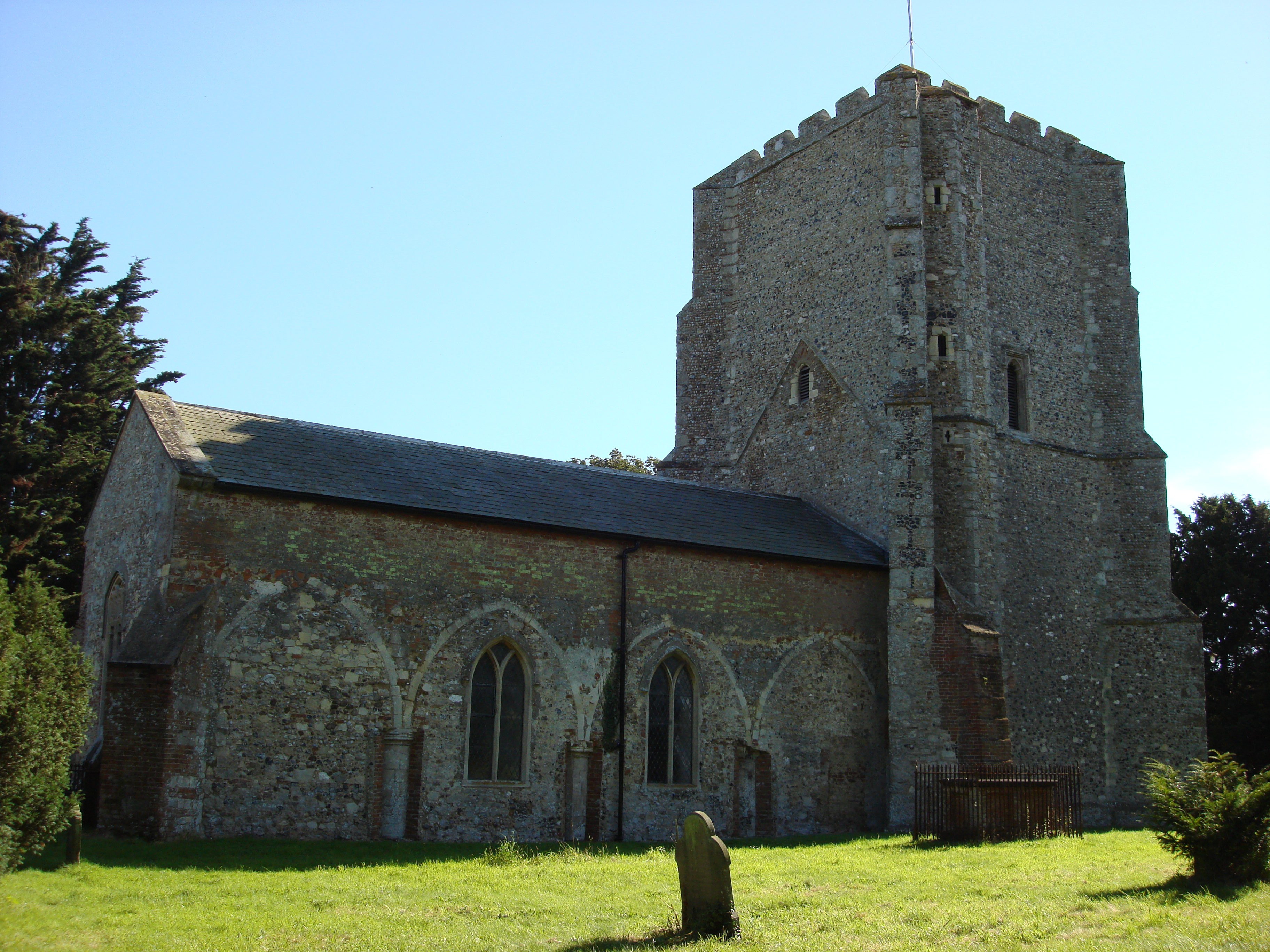
Bawdsey Manor
Bawdsey Manor stands at a prominent position at the mouth of the River Deben close to the village of Bawdsey in Suffolk, England, about 75 miles (120 km...
Bawdsey
Bawdsey is a village and civil parish in Suffolk, eastern England. Located on the other side of the river Deben from Felixstowe, it had an estimated population...

Felixstowe Ferry
Felixstowe Ferry is a hamlet in Suffolk, England, approximately two miles northeast of Felixstowe at the mouth of the River Deben with a ferry to the Bawdsey...
River Deben
The River Deben is a river in Suffolk rising to the west of Debenham, though a second, higher source runs south from the parish of Bedingfield. The river...

Felixstowe Ferry Golf Club
The Felixstowe Ferry Golf Club is in Felixstowe, Suffolk, England. == History == The club was founded in 1880. Francis Charteris, Lord Elcho, is considered...
Nearby Amenities
Located within 500m of 51.996103,1.4152593Have you been to Bawdsey Cliff?
Leave your review of Bawdsey Cliff below (or comments, questions and feedback).