Black Craig
Cliff, Slope in Orkney
Scotland
Black Craig

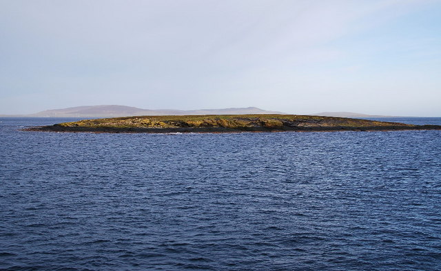
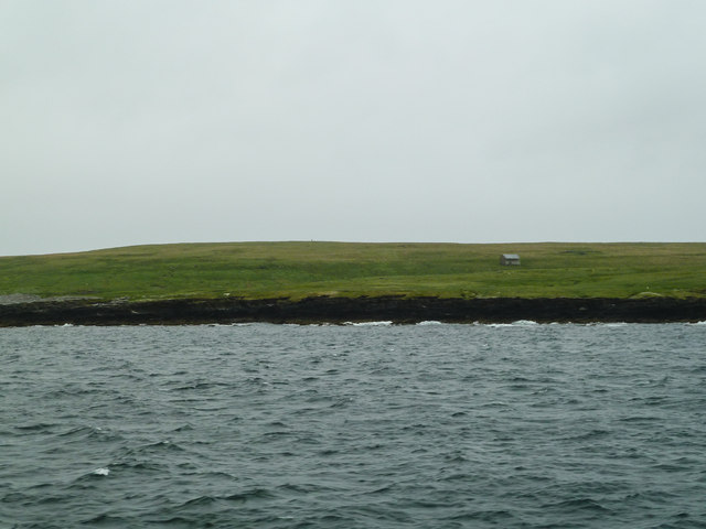
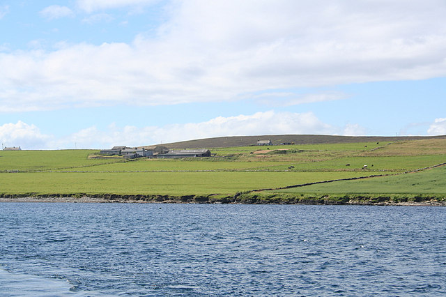
Black Craig is a prominent cliff located on the west coast of Orkney, an archipelago in the northern part of Scotland. Rising majestically from the North Atlantic Ocean, it stands as a formidable geological landmark in the area. Composed mainly of dark igneous rock, the cliff measures approximately 100 feet in height, providing a dramatic backdrop against the crashing waves below.
The sheer face of Black Craig is a result of millions of years of erosion, sculpting the rock into its current shape. Its steep slope and jagged edges make it an awe-inspiring sight, attracting both locals and tourists alike. During low tide, the cliff reveals a rugged shoreline, with small caves and crevices that have formed over time.
The cliff is surrounded by an abundance of wildlife, including various seabirds that nest along its craggy ledges. Visitors may catch a glimpse of species such as puffins, guillemots, and kittiwakes, which make their homes in the cliffs during different seasons. The cliff also provides a vantage point for spotting seals, dolphins, and even occasional sightings of whales in the waters below.
Black Craig offers breathtaking views of the surrounding coastline and the vast expanse of the Atlantic Ocean. Its location makes it an ideal spot for photographers, artists, and nature enthusiasts to capture the raw beauty of Orkney's rugged landscape. Whether admiring the cliff from afar or venturing closer to explore its unique features, Black Craig is an iconic geological formation that adds to the charm and allure of Orkney.
If you have any feedback on the listing, please let us know in the comments section below.
Black Craig Images
Images are sourced within 2km of 59.1296/-2.8333736 or Grid Reference HY5227. Thanks to Geograph Open Source API. All images are credited.


Black Craig is located at Grid Ref: HY5227 (Lat: 59.1296, Lng: -2.8333736)
Unitary Authority: Orkney Islands
Police Authority: Highlands and Islands
What 3 Words
///slot.piles.shuffles. Near Backaland, Orkney Islands
Nearby Locations
Related Wikis
Muckle Green Holm
Muckle Green Holm is an uninhabited island in the North Isles of the Orkney archipelago in Scotland. It is roughly 28 hectares (0.11 sq mi) in extent and...
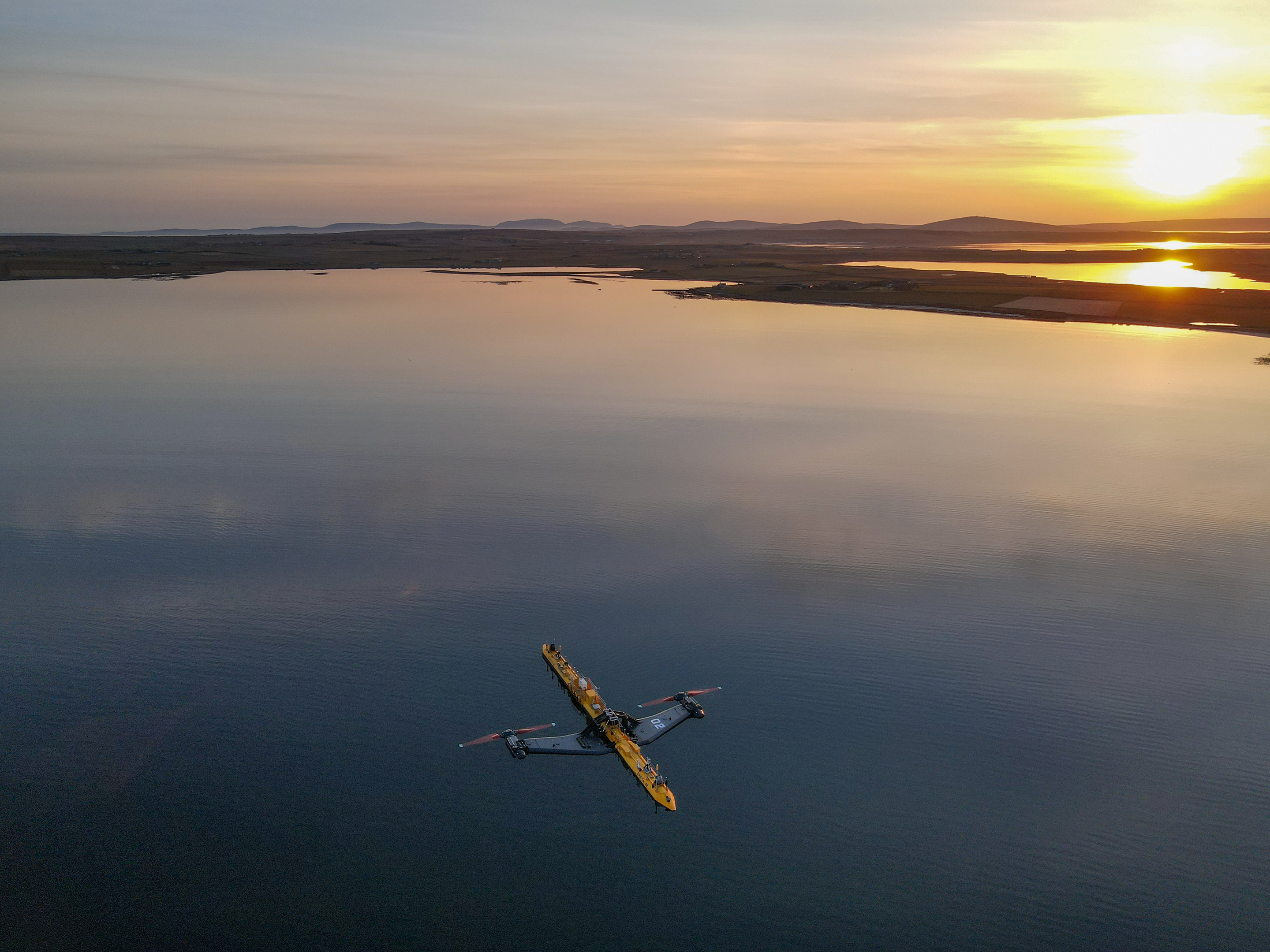
Orbital O2
Orbital Marine Power (formerly Scotrenewables Tidal Power Ltd) is a Scottish renewable energy company focused on the development and global deployment...
List of tidal power stations
This article lists most power stations that run on tidal power; both tidal range (impoundment via a barrage) and tidal stream (harnessing currents). Since...
Backaland
Backaland is a settlement on the island of Eday in Orkney, Scotland. The settlement is also within the parish of Eday, and it is located to the south west...

Egilsay
Egilsay (, Scots: Egilsay) is one of the Orkney Islands in Scotland, lying east of Rousay. The island is largely farmland and is known for its corncrakes...

Quholm
Quholm (grid reference HY5221) is a hamlet in the northeast of Shapinsay, in the islands of Orkney, Scotland. It is located between the Loch of Stenness...

Burroughston Broch
Burroughston Broch is an Iron Age broch located on the island of Shapinsay in the Orkney Islands, in Scotland (grid reference HY54062100). The site overlooks...

St Magnus Church, Egilsay
St Magnus's Church is a ruined medieval church located on the island of Egilsay, in Orkney, Scotland. The site is recognized as the place of execution...
Nearby Amenities
Located within 500m of 59.1296,-2.8333736Have you been to Black Craig?
Leave your review of Black Craig below (or comments, questions and feedback).