Otters Pool
Bay in Orkney
Scotland
Otters Pool

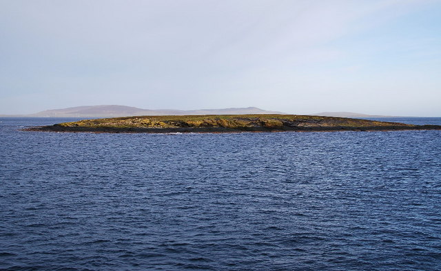
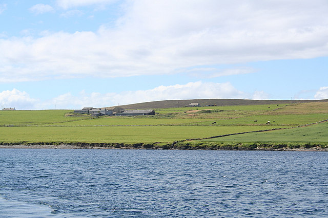
Otters Pool, located in Orkney, is a picturesque bay renowned for its stunning natural beauty and abundant wildlife. Situated on the northern coast of Orkney Mainland, the pool is surrounded by rugged cliffs, pristine sandy beaches, and crystal-clear turquoise waters, making it a popular destination for nature enthusiasts and outdoor lovers.
The bay derives its name from the playful and elusive otters that can often be spotted frolicking in the calm waters. These charismatic mammals are known for their acrobatic displays and are a delight to watch as they dive, swim, and hunt for fish. Otters Pool offers a unique opportunity to observe these creatures up close in their natural habitat.
The bay also attracts a wide variety of bird species, making it a birdwatcher's paradise. Visitors can spot seabirds such as puffins, guillemots, and razorbills, as well as numerous wading birds and ducks. The surrounding cliffs provide nesting sites for these birds, adding to the beauty and diversity of the area.
In addition to its rich wildlife, Otters Pool offers stunning panoramic views of the rugged coastline and the open sea. The bay is an ideal spot for leisurely walks, picnics, and photography, with its unspoiled landscapes providing a serene and tranquil atmosphere.
Whether you are a nature lover, a birdwatching enthusiast, or simply seeking a peaceful escape, Otters Pool in Orkney offers a truly unforgettable experience. Its breathtaking scenery, diverse wildlife, and serene ambiance make it a must-visit destination for anyone exploring the Orkney Islands.
If you have any feedback on the listing, please let us know in the comments section below.
Otters Pool Images
Images are sourced within 2km of 59.129463/-2.8253333 or Grid Reference HY5227. Thanks to Geograph Open Source API. All images are credited.


Otters Pool is located at Grid Ref: HY5227 (Lat: 59.129463, Lng: -2.8253333)
Unitary Authority: Orkney Islands
Police Authority: Highlands and Islands
What 3 Words
///resist.overlaid.luring. Near Backaland, Orkney Islands
Nearby Locations
Related Wikis
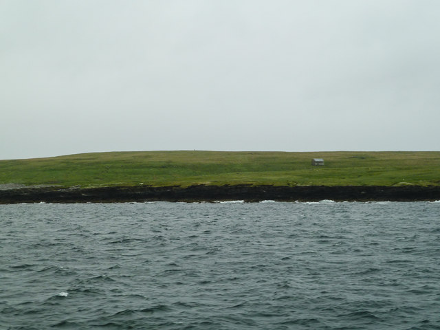
Muckle Green Holm
Muckle Green Holm is an uninhabited island in the North Isles of the Orkney archipelago in Scotland. It is roughly 28 hectares (0.11 sq mi) in extent and...
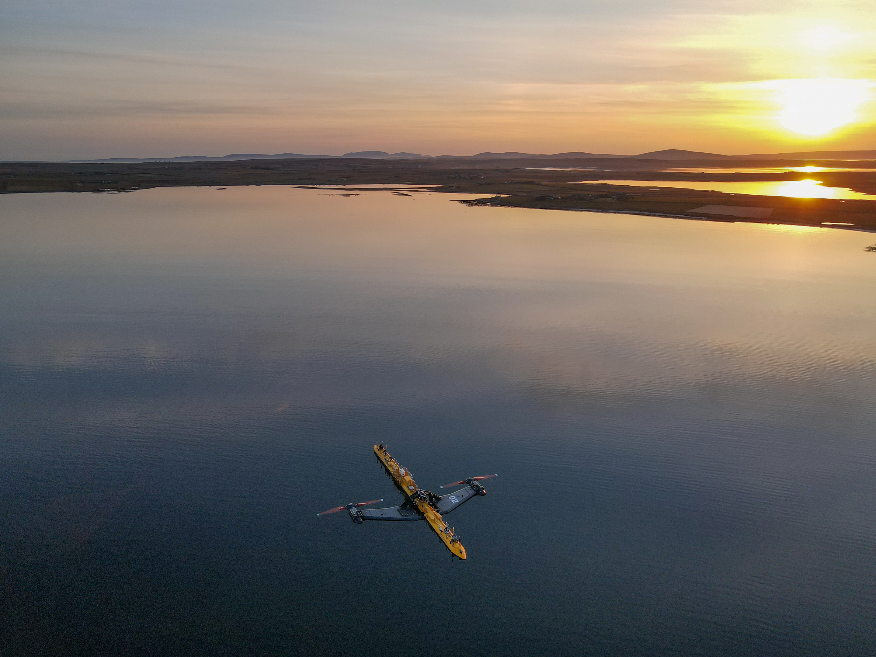
Orbital O2
Orbital Marine Power (formerly Scotrenewables Tidal Power Ltd) is a Scottish renewable energy company focused on the development and global deployment...
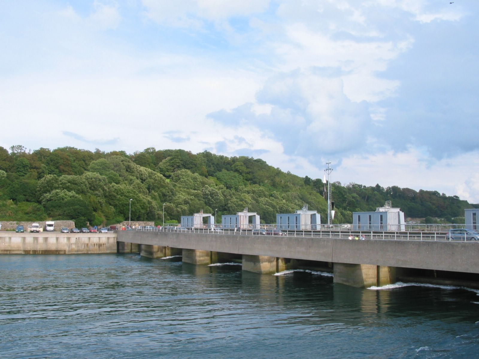
List of tidal power stations
This article lists most power stations that run on tidal power; both tidal range (impoundment via a barrage) and tidal stream (harnessing currents). Since...
Backaland
Backaland is a settlement on the island of Eday in Orkney, Scotland. The settlement is also within the parish of Eday, and it is located to the south west...
Nearby Amenities
Located within 500m of 59.129463,-2.8253333Have you been to Otters Pool?
Leave your review of Otters Pool below (or comments, questions and feedback).