Abbotsham Cliff
Cliff, Slope in Devon Torridge
England
Abbotsham Cliff
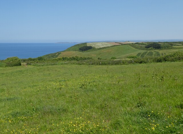
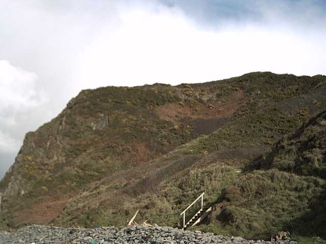
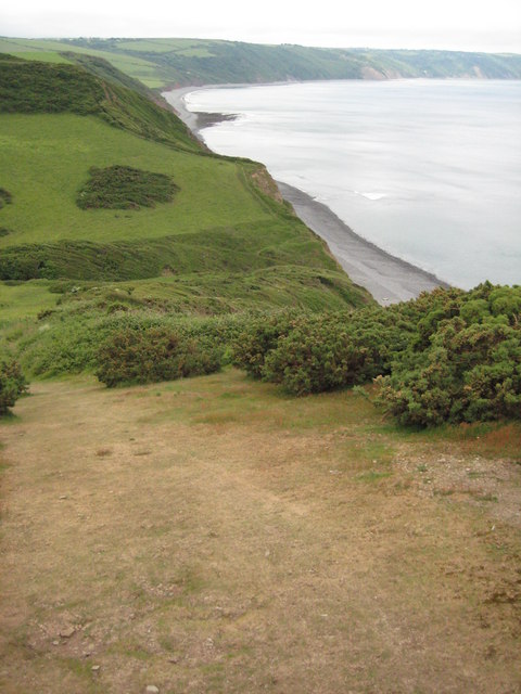
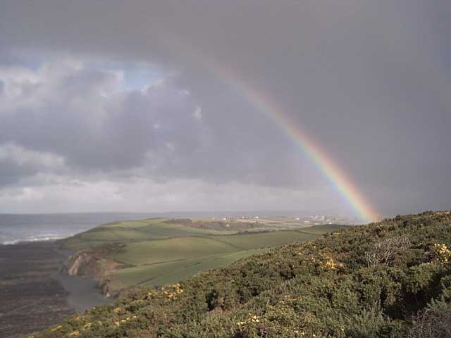
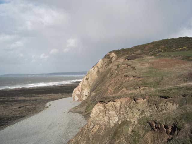
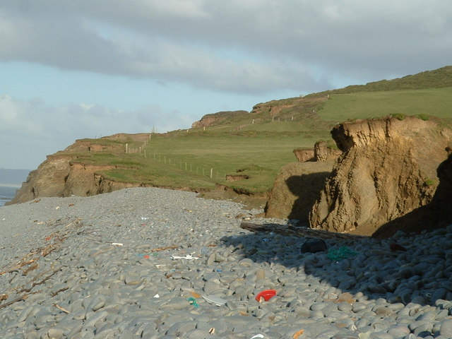
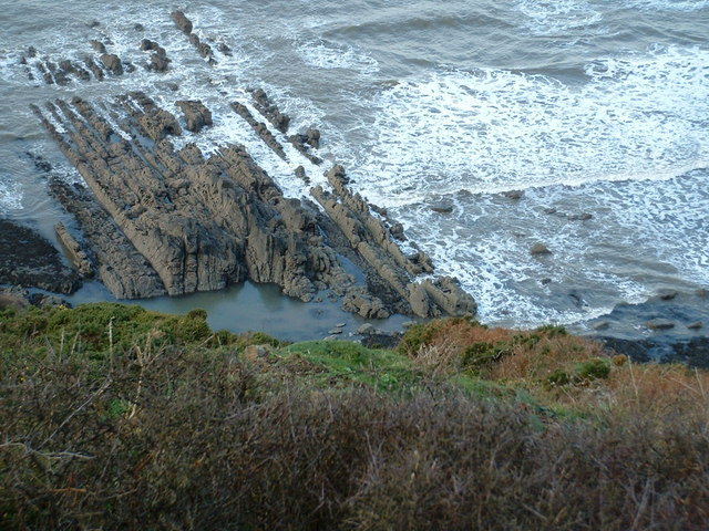
Abbotsham Cliff is a prominent coastal feature located in the county of Devon, England. Standing tall at approximately 100 meters, it forms part of the North Devon Area of Outstanding Natural Beauty. The cliff is situated near the village of Abbotsham, overlooking Bideford Bay on the Bristol Channel.
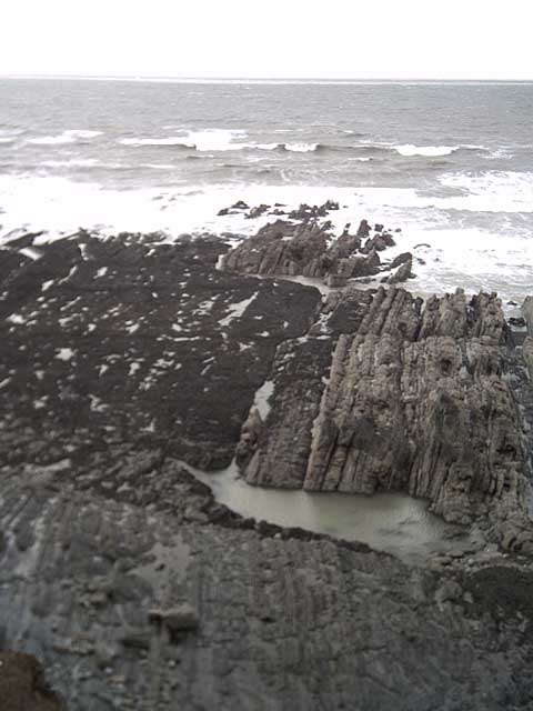
The cliff is composed mainly of sandstone and shale, displaying layers of sedimentary rock that have been formed over millions of years. It boasts a distinct reddish-brown color, adding to its visual appeal. The geological significance of Abbotsham Cliff lies in its exposure of ancient rock formations, providing valuable insights into the region's geological history.
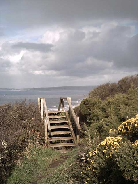
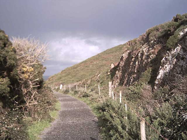
The slope of Abbotsham Cliff is relatively steep, offering breathtaking panoramic views of the surrounding landscape. Visitors can enjoy the picturesque scenes of the rugged coastline, the vast expanse of the Bristol Channel, and the distant cliffs of South Wales. The cliff also serves as an important vantage point for wildlife enthusiasts, as it provides opportunities for observing various seabirds, such as gulls and cormorants, as well as occasional sightings of dolphins and seals in the waters below.
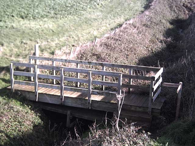
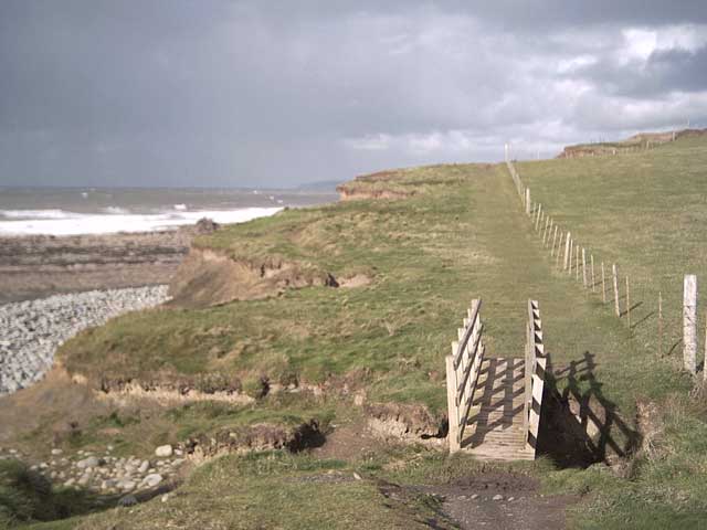
Abbotsham Cliff is a popular destination for outdoor activities and recreational pursuits. Hiking trails along the cliff edge offer exhilarating walks, allowing visitors to immerse themselves in the natural beauty of the area. However, caution is advised as the cliffs can be unstable in some areas, and proper safety measures should be taken.
Overall, Abbotsham Cliff is a captivating natural landmark that combines geological significance, stunning vistas, and opportunities for outdoor exploration, making it a must-visit destination for nature lovers and adventurers alike.
If you have any feedback on the listing, please let us know in the comments section below.
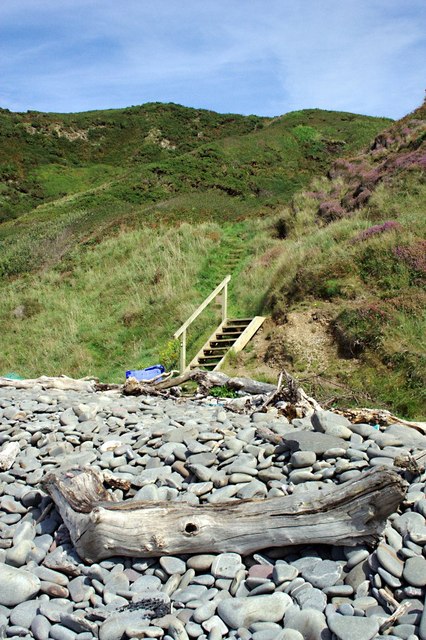
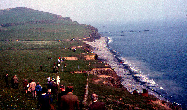
Abbotsham Cliff Images
Images are sourced within 2km of 51.025378/-4.2705043 or Grid Reference SS4027. Thanks to Geograph Open Source API. All images are credited.
Abbotsham Cliff is located at Grid Ref: SS4027 (Lat: 51.025378, Lng: -4.2705043)
Administrative County: Devon
District: Torridge
Police Authority: Devon and Cornwall
What 3 Words
///causes.sketch.twitches. Near Northam, Devon
Nearby Locations
Related Wikis
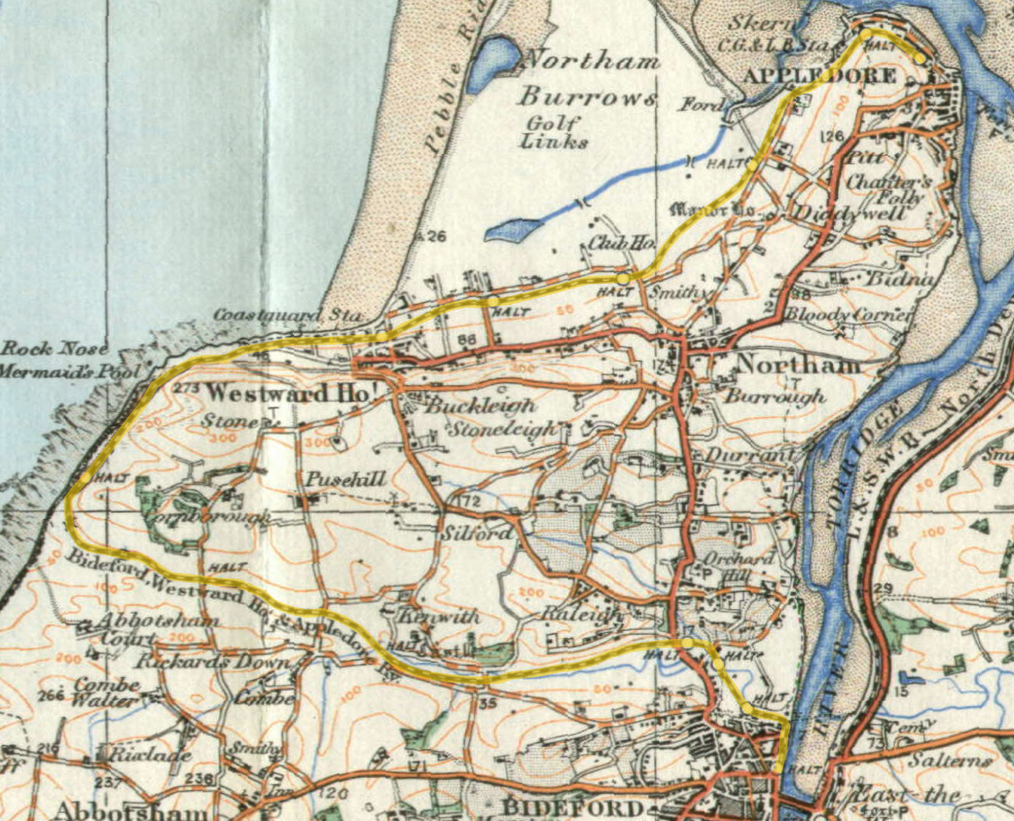
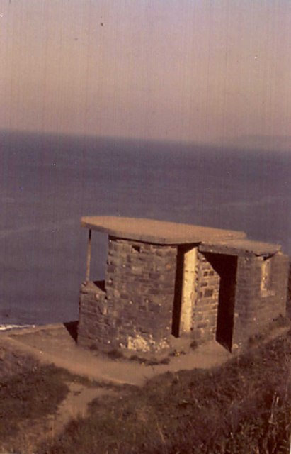
Cornborough railway station
Cornborough railway station was a minor railway station or halt/request stop in north Devon, close to Westward Ho!, serving holiday makers visiting the...
Abbotsham Road railway station
Abbotsham Road railway station was a small railway station on the independent Bideford, Westward Ho! and Appledore Railway in the English county of Devon...

The Big Sheep
The Big Sheep is an amusement farm park located in Abbotsham, Devon, England. The site was originally Barton Farm, a busy sheep farm owned by six generations...
Kenwith Castle Halt railway station
Kenwith Castle Halt was a minor railway station or halt/request stop in north Devon, close to Bideford, serving the nearby castle of that name. It lay...
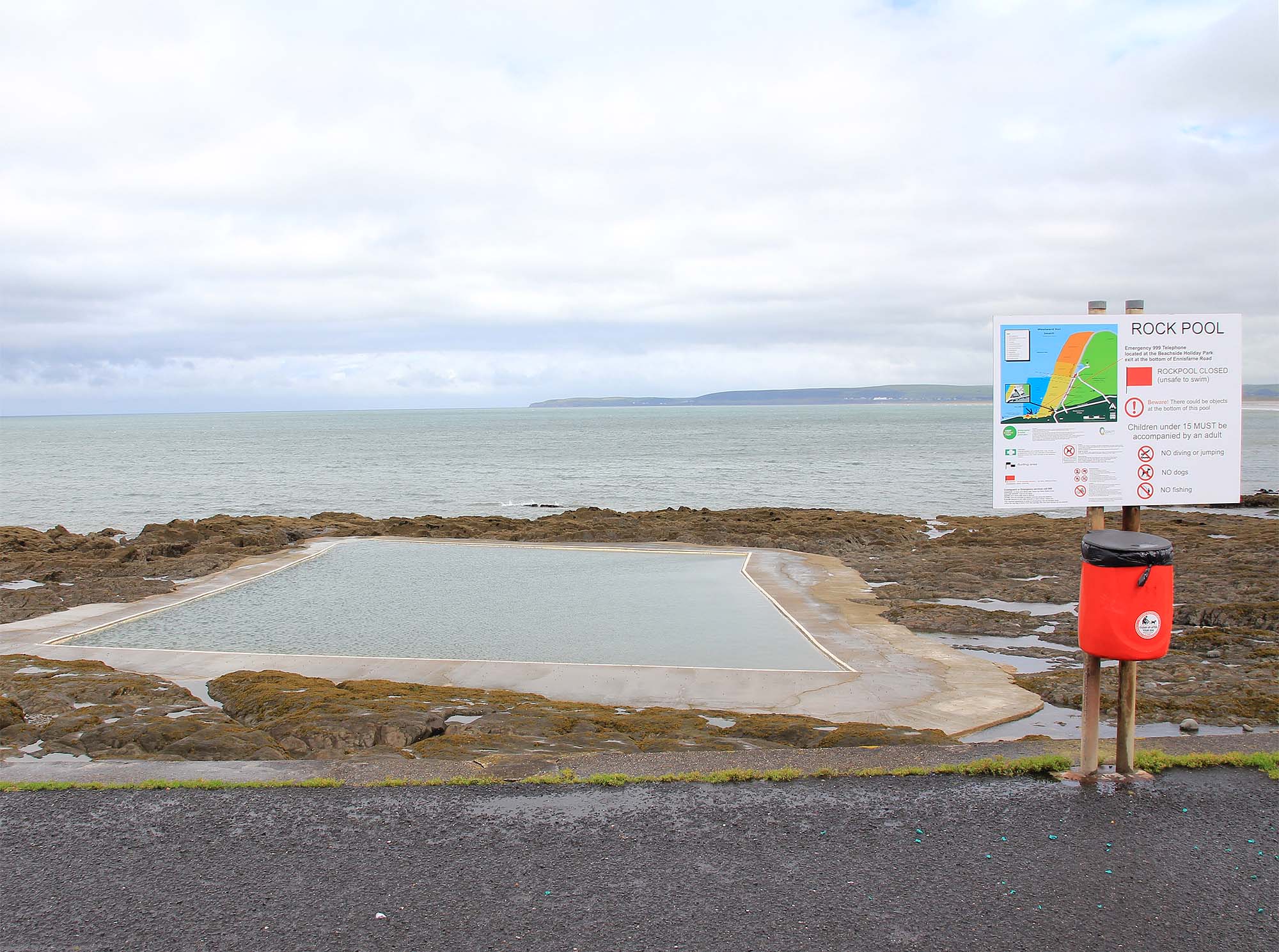
The Rock Pool, Westward Ho!
The Rock Pool at Westward Ho!, Bideford, Devon is a sea-water tidal swimming pool. == History == Among the rocks on the southern end of Westward Ho! beach...
Westward Ho! railway station
Westward Ho! railway station was a railway station in north Devon, north-west of Bideford, serving the village of Westward Ho!; a tourist community within...

Alwington
Alwington is a village and civil parish in the Torridge district of Devon, England. The parish is on the coast and includes the hamlets of Alwington, Fairy...

Westward Ho!
Westward Ho! is a seaside village near Bideford in Devon, England. The A39 road provides access from the towns of Barnstaple, Bideford, and Bude. It lies...
Nearby Amenities
Located within 500m of 51.025378,-4.2705043Have you been to Abbotsham Cliff?
Leave your review of Abbotsham Cliff below (or comments, questions and feedback).