Bennet Rock
Island in Devon Torridge
England
Bennet Rock
Bennet Rock is a small island located off the coast of Devon, England. Situated in the English Channel, it is part of the county's picturesque coastline and is a popular destination for both locals and tourists alike.
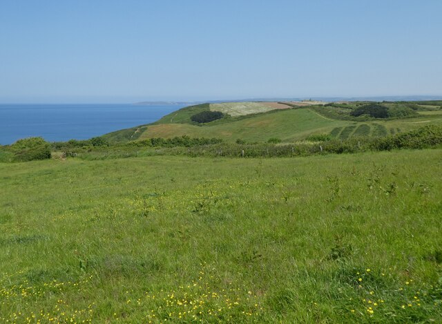
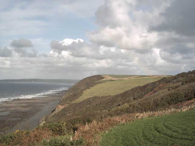
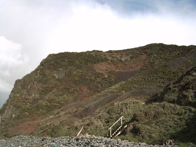
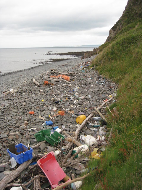
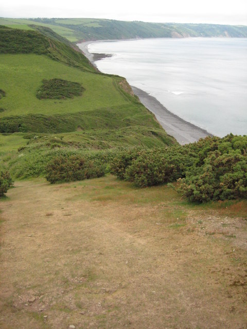
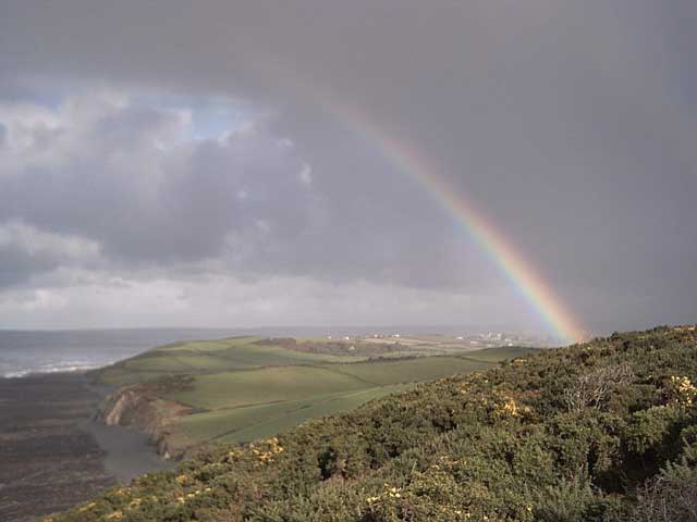
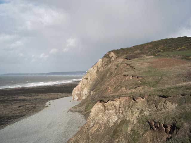
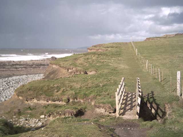
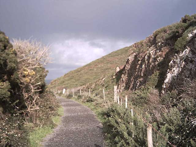
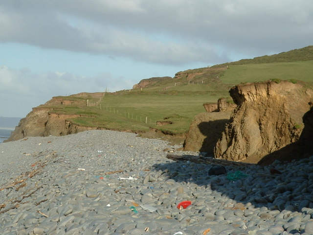
The island is known for its stunning natural beauty, characterized by rugged cliffs, pristine beaches, and abundant wildlife. It is home to a wide variety of bird species, making it a haven for birdwatchers and nature enthusiasts. The surrounding waters are also teeming with marine life, making it a popular spot for diving and snorkeling.
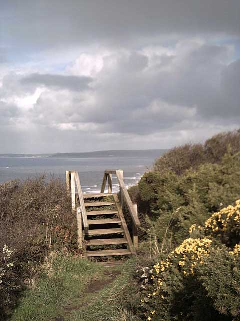
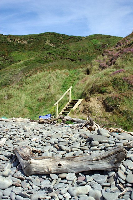
Bennet Rock is relatively small, spanning just a few acres in size. Its rocky terrain is covered in lush vegetation, creating a diverse and vibrant ecosystem. The island is accessible by boat, with regular ferry services operating from the mainland during the summer months.
Although primarily uninhabited, the island does have a small lighthouse, which serves as a navigational aid for ships passing through the English Channel. The lighthouse, built in the 19th century, adds to the island's charm and serves as a reminder of its maritime history.
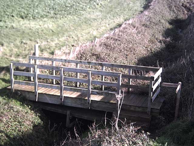
Visitors to Bennet Rock can enjoy scenic walks along the coastline, taking in the breathtaking views of the surrounding sea and cliffs. The island offers a peaceful retreat from the hustle and bustle of everyday life, providing a tranquil and idyllic setting for relaxation and exploration.
If you have any feedback on the listing, please let us know in the comments section below.
Bennet Rock Images
Images are sourced within 2km of 51.023219/-4.2742205 or Grid Reference SS4027. Thanks to Geograph Open Source API. All images are credited.


Bennet Rock is located at Grid Ref: SS4027 (Lat: 51.023219, Lng: -4.2742205)
Administrative County: Devon
District: Torridge
Police Authority: Devon and Cornwall
What 3 Words
///depth.sweetener.handover. Near Northam, Devon
Nearby Locations
Related Wikis
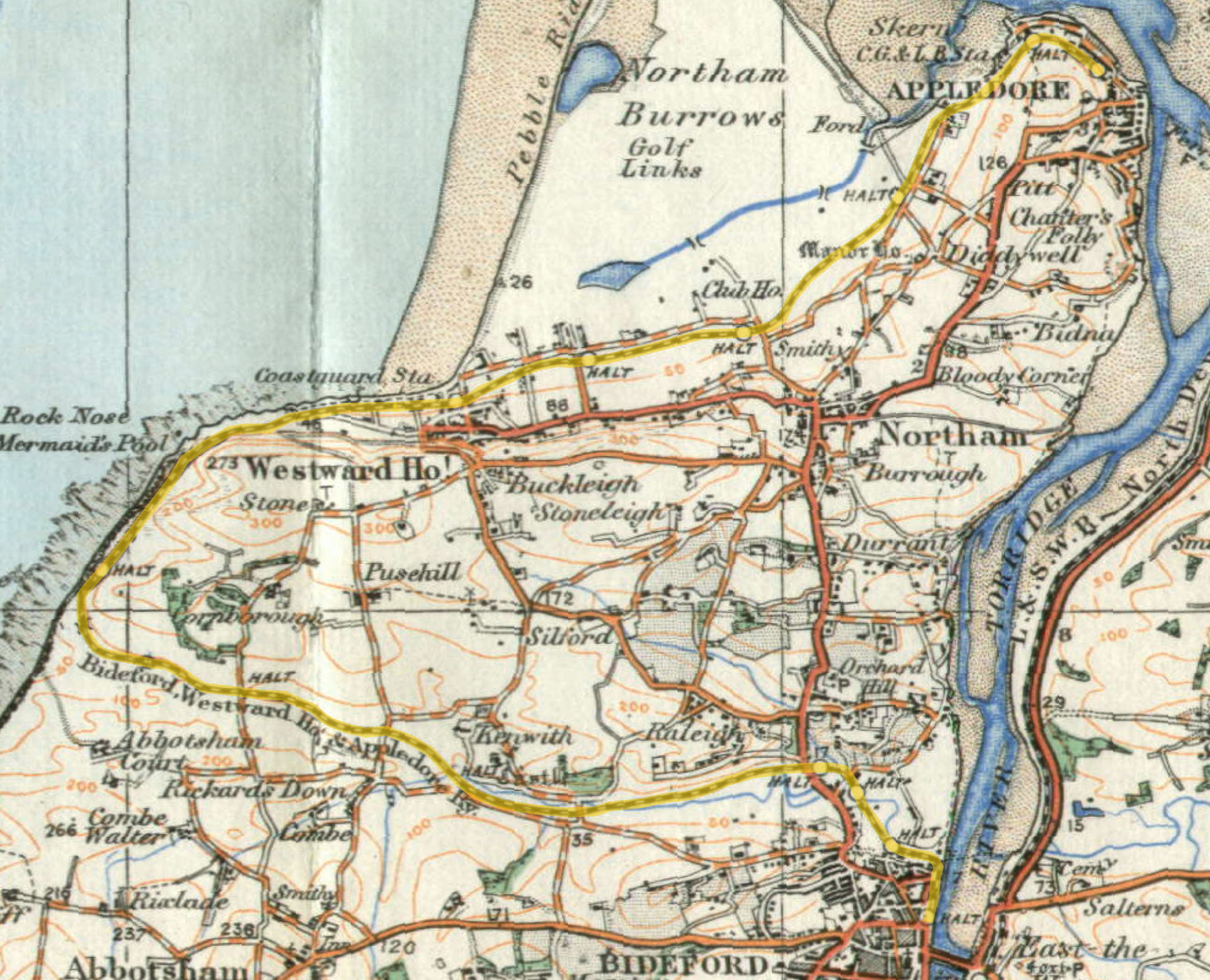
Cornborough railway station
Cornborough railway station was a minor railway station or halt/request stop in north Devon, close to Westward Ho!, serving holiday makers visiting the...
Abbotsham Road railway station
Abbotsham Road railway station was a small railway station on the independent Bideford, Westward Ho! and Appledore Railway in the English county of Devon...

The Big Sheep
The Big Sheep is an amusement farm park located in Abbotsham, Devon, England. The site was originally Barton Farm, a busy sheep farm owned by six generations...
Kenwith Castle Halt railway station
Kenwith Castle Halt was a minor railway station or halt/request stop in north Devon, close to Bideford, serving the nearby castle of that name. It lay...

Alwington
Alwington is a village and civil parish in the Torridge district of Devon, England. The parish is on the coast and includes the hamlets of Alwington, Fairy...
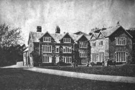
Portledge Manor
Portledge Manor is an English manor house in the parish of Alwington, southwest of Bideford, Devon. It and the land surrounding it belonged to the Coffin...
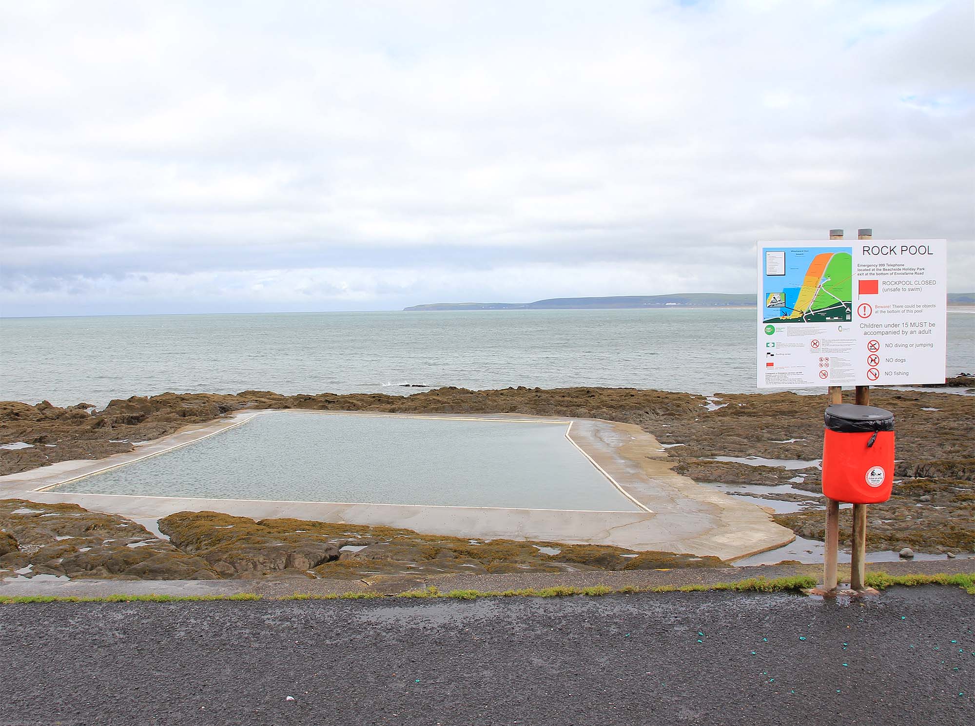
The Rock Pool, Westward Ho!
The Rock Pool at Westward Ho!, Bideford, Devon is a sea-water tidal swimming pool. == History == Among the rocks on the southern end of Westward Ho! beach...
Westward Ho! railway station
Westward Ho! railway station was a railway station in north Devon, north-west of Bideford, serving the village of Westward Ho!; a tourist community within...
Nearby Amenities
Located within 500m of 51.023219,-4.2742205Have you been to Bennet Rock?
Leave your review of Bennet Rock below (or comments, questions and feedback).