Tregurnow Cliff
Cliff, Slope in Cornwall
England
Tregurnow Cliff
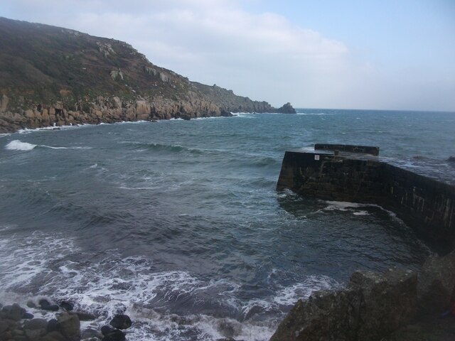
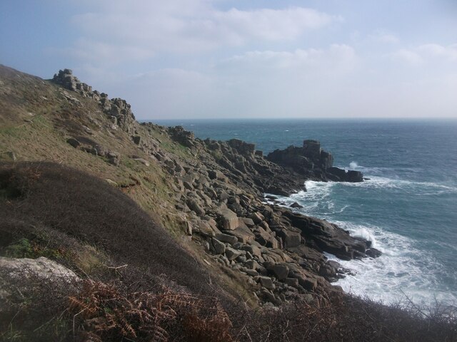
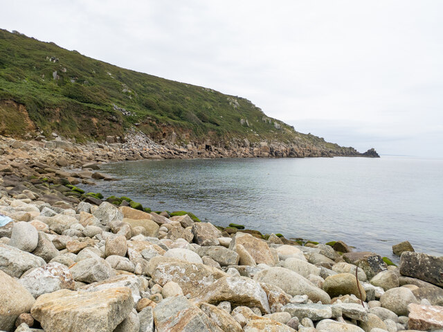
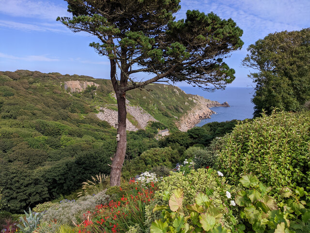
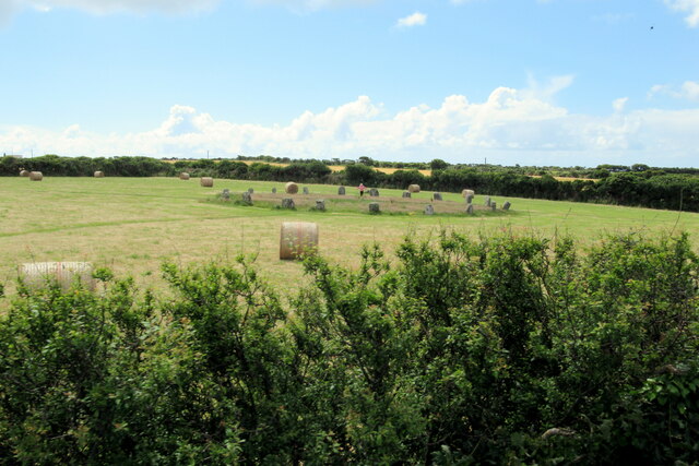
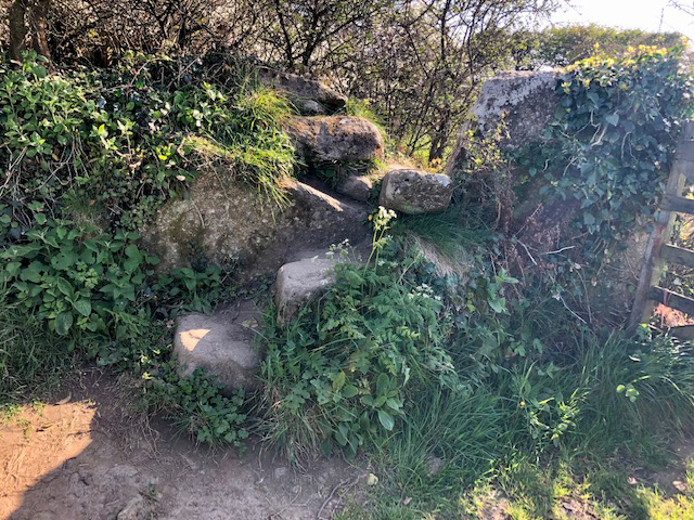
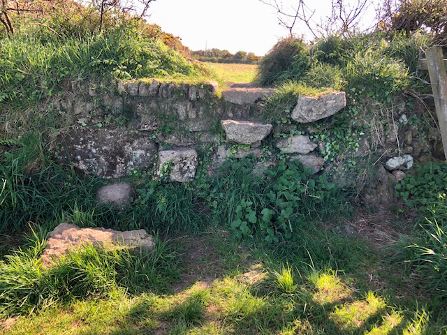
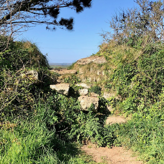
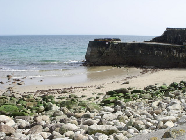
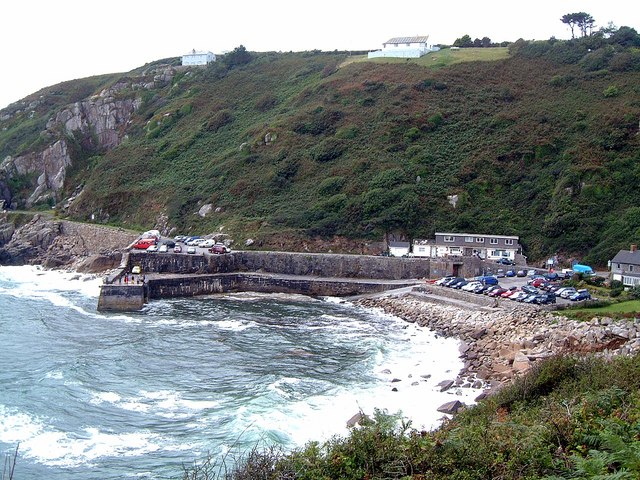
Tregurnow Cliff is a prominent geological feature located on the southwestern coast of Cornwall, England. Standing tall at approximately 100 meters (330 feet) in height, it offers a stunning view of the Atlantic Ocean and the surrounding landscape. The cliff is situated near the village of Tregurnow, in close proximity to the popular tourist destination of Penzance.
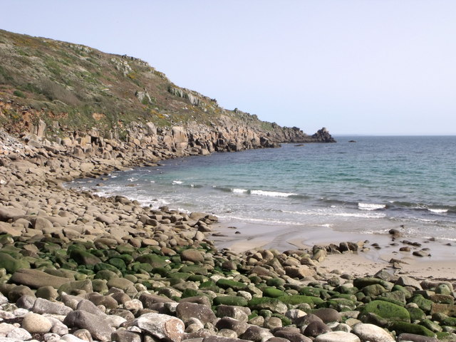
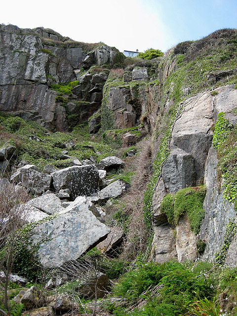
Composed mainly of sedimentary rock formations, Tregurnow Cliff exemplifies the region's unique geology. The layers of rocks that make up the cliff are a testament to millions of years of geological history. The lower layers consist of hard, resistant rocks such as granite, while the upper layers are made up of softer materials like shale and sandstone.
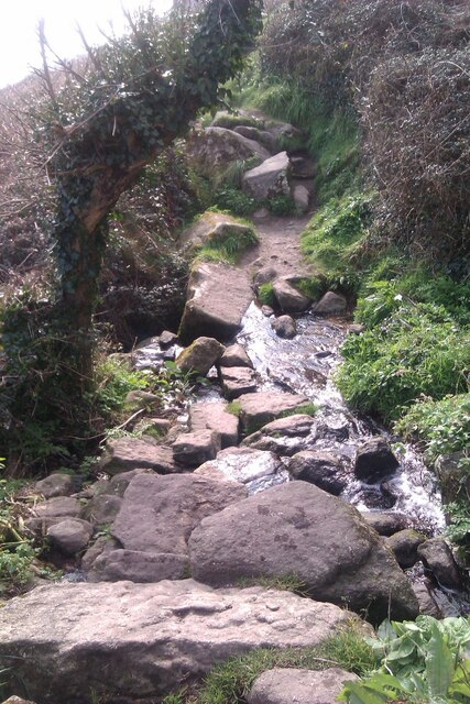
The cliff face presents a diverse environment for plant and animal life. Various species of seabirds, including gulls and cormorants, can be spotted nesting on the ledges and crags of the cliff. The surrounding grassy slopes are home to a range of wildflowers and grasses, adding to the natural beauty of the area.
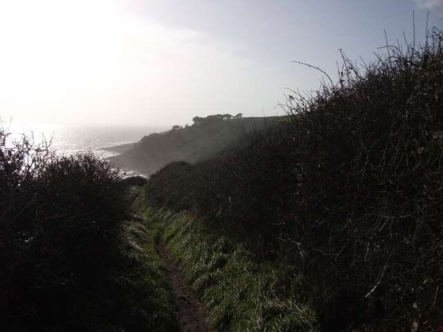
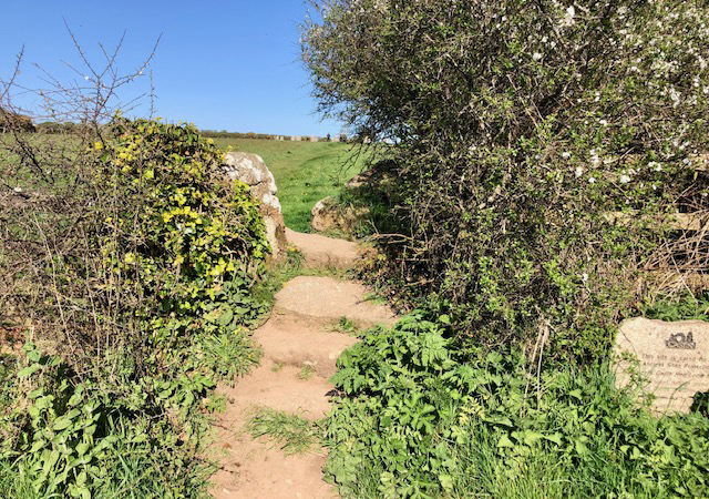
Tregurnow Cliff is a popular destination for outdoor enthusiasts, offering opportunities for hiking and birdwatching. However, caution must be exercised while exploring the cliff, as its edges can be unstable and hazardous. Visitors are advised to adhere to safety guidelines and avoid venturing too close to the cliff edge.
Overall, Tregurnow Cliff is a breathtaking natural landmark that showcases the geological and ecological diversity of Cornwall's coastline.
If you have any feedback on the listing, please let us know in the comments section below.
Tregurnow Cliff Images
Images are sourced within 2km of 50.059586/-5.5645985 or Grid Reference SW4423. Thanks to Geograph Open Source API. All images are credited.

Tregurnow Cliff is located at Grid Ref: SW4423 (Lat: 50.059586, Lng: -5.5645985)
Unitary Authority: Cornwall
Police Authority: Devon and Cornwall
What 3 Words
///louder.connector.imperious. Near St Buryan, Cornwall
Nearby Locations
Related Wikis
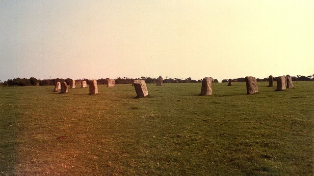
Lamorna
Lamorna (Cornish: Nansmornow) is a village, valley and cove in west Cornwall, England, UK. It is on the Penwith peninsula approximately 4 miles (6 km)...
Tregurnow
Tregurnow is a settlement in St Buryan civil parish on the Penwith peninsula in Cornwall, England, United Kingdom. At Tregurnow farm is an interesting...

Tater Du Lighthouse
Tater Du Lighthouse is Cornwall's most recently built lighthouse. The construction of the lighthouse came out of the tragedy of losing a small Spanish...

Castallack
Castallack is a hamlet in the civil parish of St Buryan, Lamorna and Paul in west Cornwall, England, UK. It is on a minor road between Sheffied and Lamorna...
Nearby Amenities
Located within 500m of 50.059586,-5.5645985Have you been to Tregurnow Cliff?
Leave your review of Tregurnow Cliff below (or comments, questions and feedback).