Chantry Point
Coastal Feature, Headland, Point in Suffolk East Suffolk
England
Chantry Point
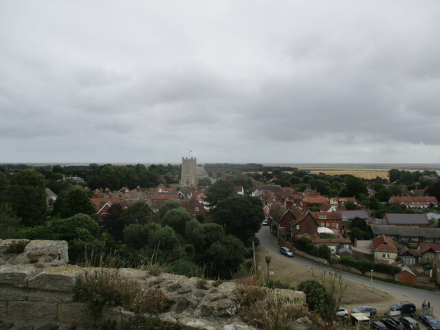
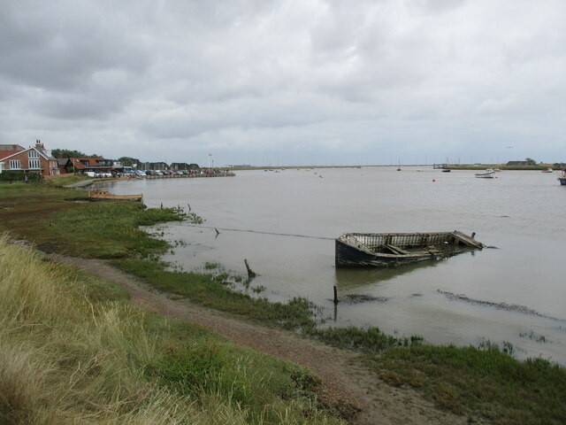
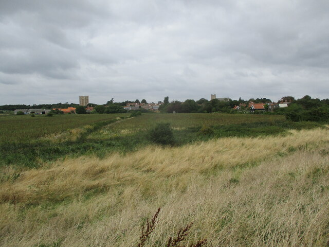
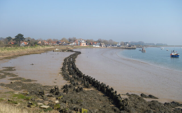
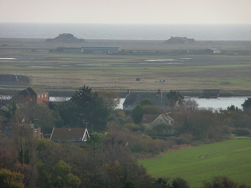
Chantry Point is a prominent coastal feature located in Suffolk, England. It is a headland that juts out into the North Sea, forming a distinct point on the coastline. The point is situated near the village of Bawdsey, approximately 10 miles southeast of the town of Woodbridge.
The point is characterized by its rugged and rocky landscape, with cliffs and steep slopes that provide stunning views of the surrounding area. The geology of Chantry Point is primarily composed of sedimentary rocks, including chalk and clay, which have been eroded over time by the relentless force of the sea.
Due to its strategic location, Chantry Point has played a significant role in the region's history. It was once home to a defensive fortification known as East Coast Martello Tower, built during the Napoleonic Wars in the early 19th century. The tower served as a lookout post and defense against any potential invasion from the sea.
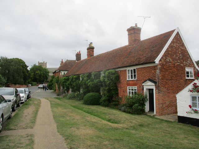
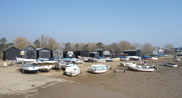
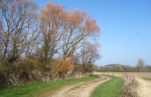
Today, Chantry Point is a popular destination for visitors who are drawn to its natural beauty and historical significance. The area offers opportunities for coastal walks, birdwatching, and photography. The dramatic cliffs and crashing waves make it a favorite spot for photographers and nature enthusiasts alike.
Access to Chantry Point is available via footpaths and public rights of way. Visitors are advised to exercise caution when exploring the area, as the cliffs can be unstable and dangerous.
If you have any feedback on the listing, please let us know in the comments section below.
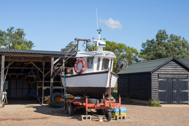
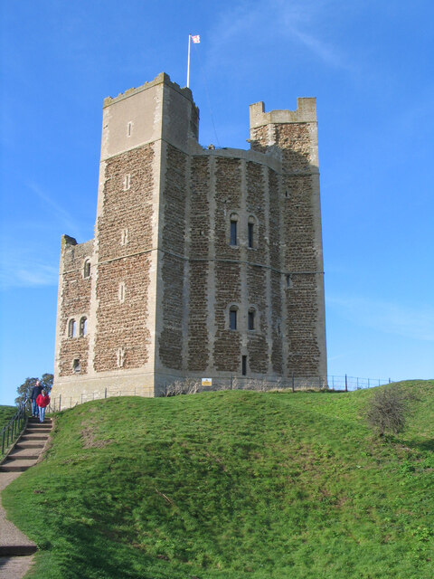
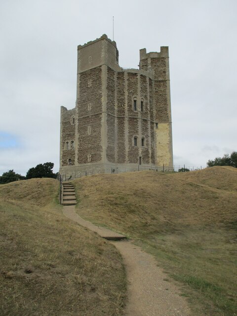
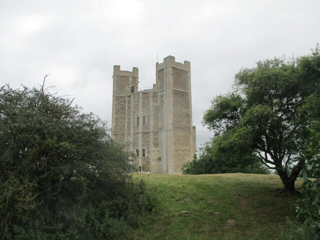
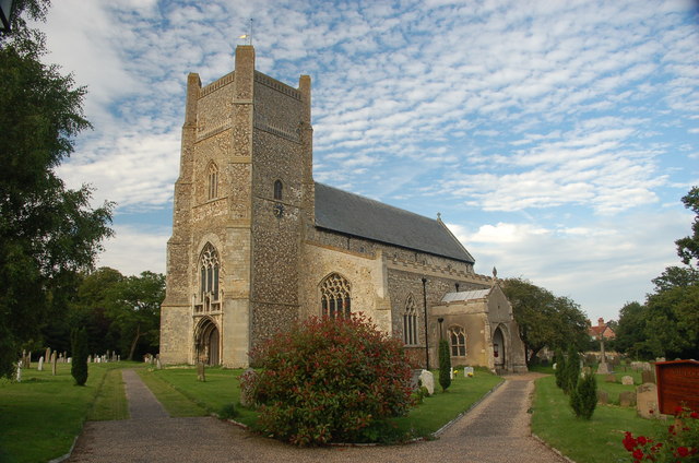
Chantry Point Images
Images are sourced within 2km of 52.082065/1.5358887 or Grid Reference TM4248. Thanks to Geograph Open Source API. All images are credited.


Chantry Point is located at Grid Ref: TM4248 (Lat: 52.082065, Lng: 1.5358887)
Administrative County: Suffolk
District: East Suffolk
Police Authority: Suffolk
What 3 Words
///dote.pebble.shocks. Near Aldeburgh, Suffolk
Nearby Locations
Related Wikis

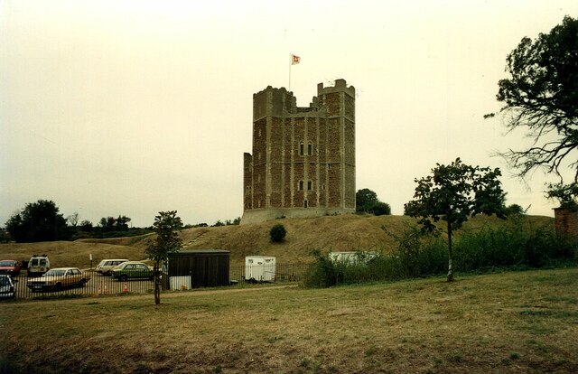
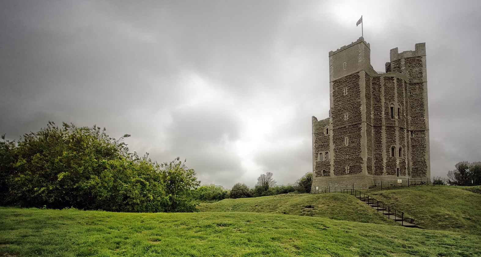
Orford Castle
Orford Castle is a castle in Orford in the English county of Suffolk, 12 miles (19 km) northeast of Ipswich, with views over Orford Ness. It was built...

Richmond Farm Pit, Gedgrave
Richmond Farm Pit, Gedgrave is a 0.57-hectare (1.4-acre) geological Site of Special Scientific Interest south-west of Orford in Suffolk. It is a Geological...
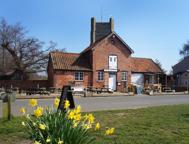
Orford, Suffolk
Orford is a village in Suffolk, England, within the Suffolk Coast and Heaths Area of Outstanding Natural Beauty. It is 9 miles (14 km) east of Woodbridge...
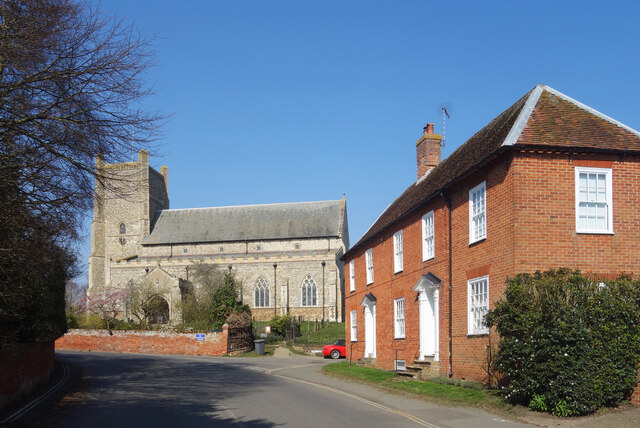
St Bartholomew's Church, Orford
The Church of St Bartholomew is the parish church of the town of Orford, England. A medieval church, dating from the fourteenth century, with reconstructions...
Orford Ness
Orford Ness is a cuspate foreland shingle spit on the Suffolk coast in Great Britain, linked to the mainland at Aldeburgh and stretching along the coast...

Havergate Island
Havergate Island is the only island in the county of Suffolk, England. It is found at the confluence of the River Ore and the Butley River near the village...

Gedgrave
Gedgrave is a civil parish in the East Suffolk district, in the English county of Suffolk in eastern England. In 2005 its population was 30. Gedgrave once...

Gedgrave Hall Pit
Gedgrave Hall Pit is a 0.65-hectare (1.6-acre) geological Site of Special Scientific Interest in Gedgrave, south of Saxmundham in Suffolk. It is a Geological...
Nearby Amenities
Located within 500m of 52.082065,1.5358887Have you been to Chantry Point?
Leave your review of Chantry Point below (or comments, questions and feedback).