Cuckold's Point

Coastal Marsh, Saltings in Suffolk East Suffolk

England

Cuckold's Point

Boat near Orford Quay Joseph William II
Boat near Orford Quay Credit: Roger Jones

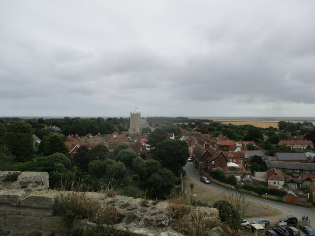
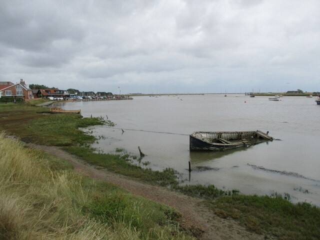
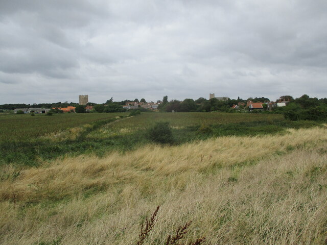
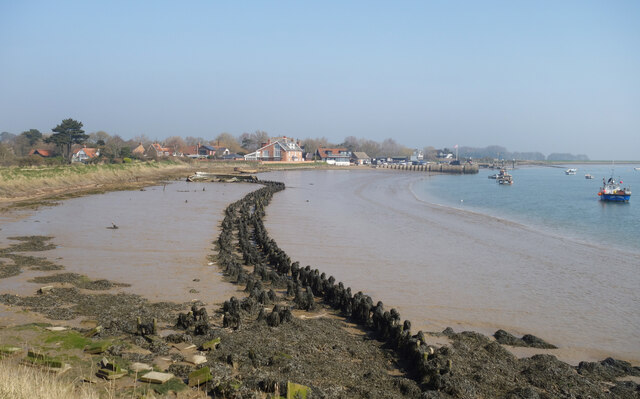
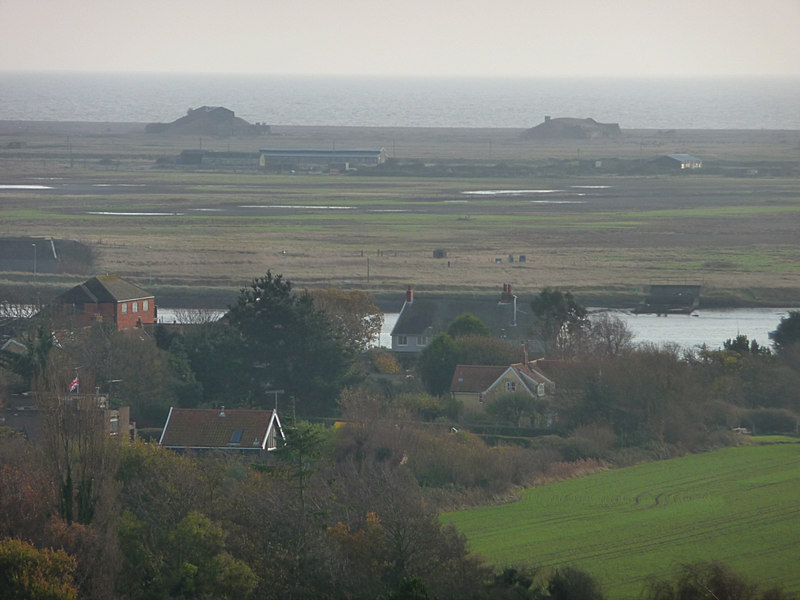
Cuckold's Point is a picturesque coastal marsh located in Suffolk, England. Situated on the eastern coast of the country, it is part of the wider Suffolk Coast and Heaths Area of Outstanding Natural Beauty. This unique landscape features a vast expanse of saltmarshes and saltings, creating a haven for various bird species and wildlife.

The marshes at Cuckold's Point are characterized by their flat, low-lying terrain, covered in a mosaic of salt-tolerant plants such as samphire, sea lavender, and sea purslane. These plants thrive in the brackish water of the marshes, which are influenced by the tides of the North Sea.

The area is a birdwatcher's paradise, attracting a diverse range of avian species throughout the year. During the winter months, large flocks of migratory birds, including Brent geese and wigeons, seek refuge in the marshes. In the summer, the marshes come alive with the sights and sounds of breeding waders such as redshanks, avocets, and lapwings.

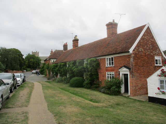
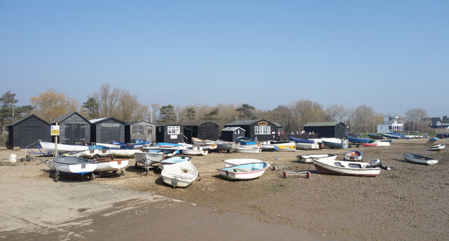
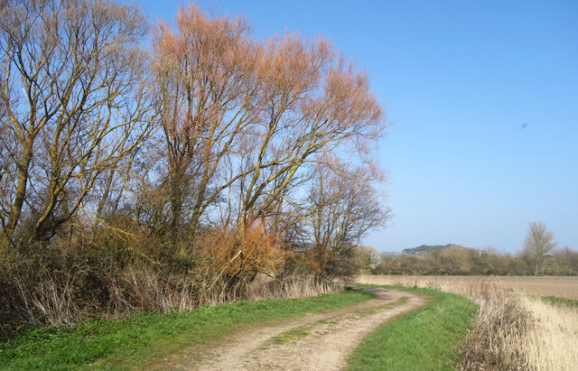
Cuckold's Point offers visitors a chance to explore this unique ecosystem through various walking trails and observation points. A network of footpaths and boardwalks wind through the marshes, allowing visitors to appreciate the beauty of the landscape while minimizing their impact on the fragile habitat.

The views from Cuckold's Point are truly breathtaking, with expansive vistas of the marshes stretching out towards the horizon. The ever-changing colors of the sky and the interplay between land, water, and wildlife make it a popular spot for photographers and nature enthusiasts alike.

Overall, Cuckold's Point is a tranquil and awe-inspiring coastal marsh, offering visitors an opportunity to connect with nature and appreciate the delicate balance of this unique ecosystem.

If you have any feedback on the listing, please let us know in the comments section below.

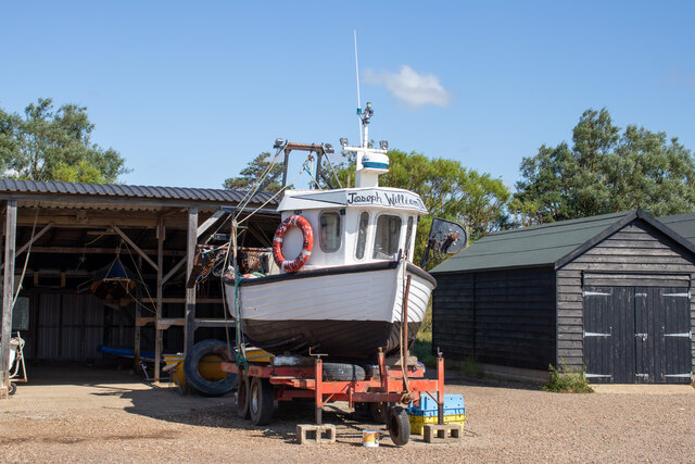
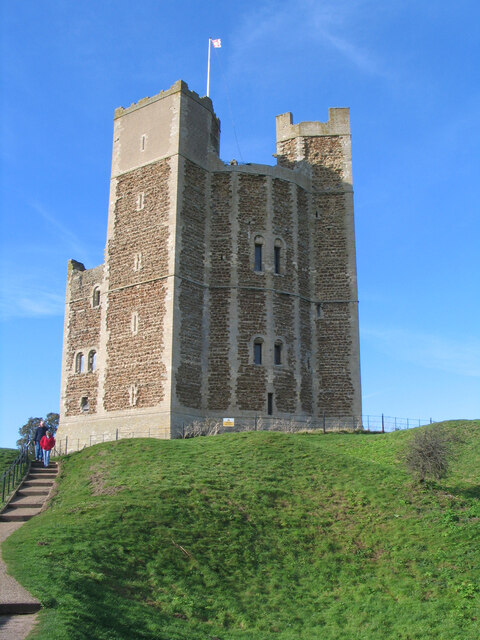
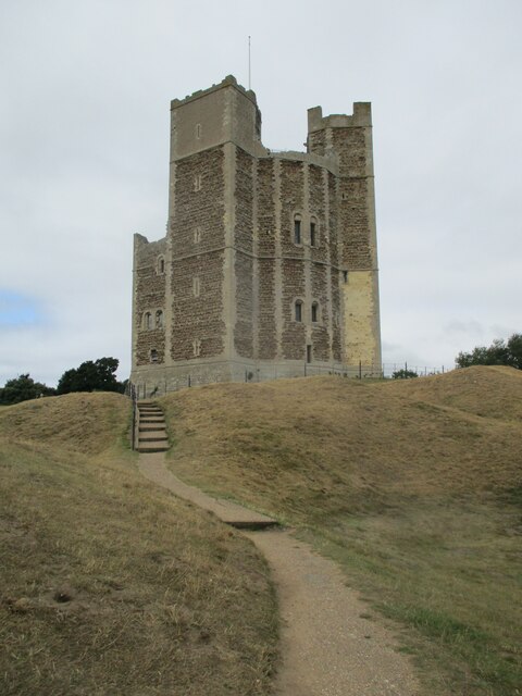
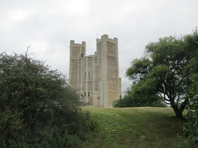
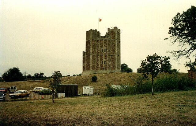
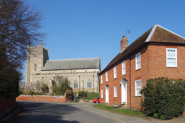
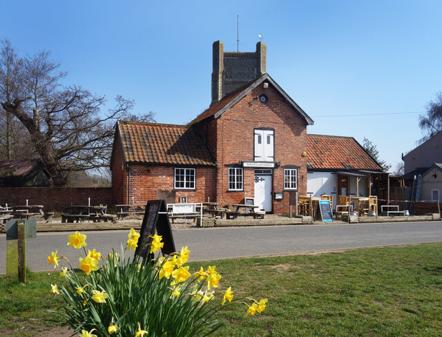
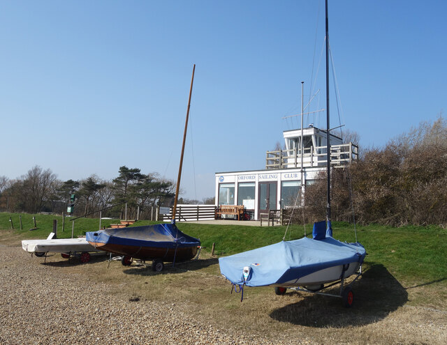
Cuckold's Point Images

Images are sourced within 2km of 52.078179/1.5373915 or Grid Reference TM4248. Thanks to Geograph Open Source API. All images are credited.

Boat near Orford Quay Joseph William II
Boat near Orford Quay
Joseph William II
Orford Castle
Orford Castle
Orford  Castle  12th- century.  Only  the  keep  remains The curtain walls and towers were demolished in the 1590's. By the end of the 17th century the keep was a roofless shell. It passed through further private hands, the 3rd Marquess of Hertford reroofed the castle in 1831. In 1928 it was presented to Orford Town Trust and is now in the care of English Heritage
Orford Castle 12th- century. Only the keep remains
The curtain walls and towers were demolished in the 1590's. By the end of the 17th century the keep was a roofless shell. It passed through further private hands, the 3rd Marquess of Hertford reroofed the castle in 1831. In 1928 it was presented to Orford Town Trust and is now in the care of English Heritage
Orford  Castle  from  the  Outer  Bank
Orford Castle from the Outer Bank
Orford  from  the  top  of  Orford  Castle The parish church of St Bartholomew stands tall
Orford from the top of Orford Castle
The parish church of St Bartholomew stands tall
River  Ore  toward  quay  and  ferry  terminal Long abandoned boats stuck in the mud.
River Ore toward quay and ferry terminal
Long abandoned boats stuck in the mud.
Over  marshes  to  Orford  from  River  Ore  floodbank Castle to left, St Bartholomew parish church to the right
Over marshes to Orford from River Ore floodbank
Castle to left, St Bartholomew parish church to the right
Row  of  cottages  on  Church  Street  Orford St Bartholomew parish church beyond
Row of cottages on Church Street Orford
St Bartholomew parish church beyond
Orford Castle <span class="nowrap"><a title="https://historicengland.org.uk/listing/the-list/list-entry/1014860?section=official-listing" rel="nofollow ugc noopener" href="https://historicengland.org.uk/listing/the-list/list-entry/1014860?section=official-listing">Link</a><img style="margin-left:2px;" alt="External link" title="External link - shift click to open in new window" src="https://s1.geograph.org.uk/img/external.png" width="10" height="10"/></span>
Orford Castle
Church Street, Orford St Bartholomew's Church at the top of the road leading up from the waterfront.
Church Street, Orford
St Bartholomew's Church at the top of the road leading up from the waterfront.
Orford Craft Centre
Orford Craft Centre
Orford Sailing Club
Orford Sailing Club
Stakes in the Mud Like some fossilised prehistoric snaky thing, the remains of a bygone wooden structure are exposed in the mud at low tide. 
An earlier attempt at coastal defence at a guess.
Stakes in the Mud
Like some fossilised prehistoric snaky thing, the remains of a bygone wooden structure are exposed in the mud at low tide. An earlier attempt at coastal defence at a guess.
Boats on the Beach Small boats up on the foreshore near Orford Sailing Club.
Boats on the Beach
Small boats up on the foreshore near Orford Sailing Club.
Abandoned Old Boats Poor old things. I always wonder what the story is behind scenes like this.
The foreshore at Orford on the non sailing club side.
Abandoned Old Boats
Poor old things. I always wonder what the story is behind scenes like this. The foreshore at Orford on the non sailing club side.
Gate onto Gedgrave Marshes The public footpath comes down off the levee and heads inland. 
Gedgrave is a small rural parish with a population of 30 at  the last count. It once had a church, St Andrew's, but that's gone and the parish is now just a few scattered houses, including Gedgrave Hall.
<span class="nowrap"><a title="https://en.wikipedia.org/wiki/Gedgrave" rel="nofollow ugc noopener" href="https://en.wikipedia.org/wiki/Gedgrave">Link</a><img style="margin-left:2px;" alt="External link" title="External link - shift click to open in new window" src="https://s1.geograph.org.uk/img/external.png" width="10" height="10"/></span>
Gate onto Gedgrave Marshes
The public footpath comes down off the levee and heads inland. Gedgrave is a small rural parish with a population of 30 at the last count. It once had a church, St Andrew's, but that's gone and the parish is now just a few scattered houses, including Gedgrave Hall. LinkExternal link
Drain on Gedgrave Marshes One of the many channels draining the marsh.
Drain on Gedgrave Marshes
One of the many channels draining the marsh.
Tree Colours on Gedgrave Marshes Willow trees coming back to life after the winter.
Tree Colours on Gedgrave Marshes
Willow trees coming back to life after the winter.
Show me another place!

Cuckold's Point is located at Grid Ref: TM4248 (Lat: 52.078179, Lng: 1.5373915)

Administrative County: Suffolk

District: East Suffolk

Police Authority: Suffolk

What 3 Words

///suddenly.wardrobe.clocking. Near Aldeburgh, Suffolk

Related Wikis

Havergate Island

Havergate Island is the only island in the county of Suffolk, England. It is found at the confluence of the River Ore and the Butley River near the village...

Orford Ness

Orford Ness is a cuspate foreland shingle spit on the Suffolk coast in Great Britain, linked to the mainland at Aldeburgh and stretching along the coast...

Hollesley Bay (Suffolk)

Hollesley Bay is a bay on the coast of Suffolk, England, near the village of Hollesley. Nelson brought his fleet here in 1801. == See also == Hollesley...

Richmond Farm Pit, Gedgrave

Richmond Farm Pit, Gedgrave is a 0.57-hectare (1.4-acre) geological Site of Special Scientific Interest south-west of Orford in Suffolk. It is a Geological...

Nearby Amenities

Located within 500m of 52.078179,1.5373915
Source: PGS
Lat/Long: 52.079593/1.531962
Source: PGS
Lat/Long: 52.0789401/1.5346336
Source: PGS
Lat/Long: 52.0790127/1.5381956
Source: PGS
Lat/Long: 52.07895/1.5383242
Source: PGS
Lat/Long: 52.0782379/1.5382117
Source: PGS
Lat/Long: 52.0776708/1.5379649
Source: PGS
Lat/Long: 52.0771928/1.5376698
Source: PGS
Lat/Long: 52.0767278/1.53723
Source: PGS
Lat/Long: 52.0763257/1.5365969
Source: PGS
Lat/Long: 52.076059/1.536016
Source: PGS
Lat/Long: 52.0753234/1.5337484
Source: PGS
Lat/Long: 52.0811734/1.5417108
Source: PGS
Lat/Long: 52.08058/1.5416464
Source: PGS
Lat/Long: 52.0801712/1.5417751
Source: PGS
Lat/Long: 52.079169/1.5415176
Source: PGS
Lat/Long: 52.0791954/1.5421399
Source: PGS
Lat/Long: 52.0793668/1.5430197
Source: PGS
Lat/Long: 52.0795778/1.5435132
Source: PGS
Lat/Long: 52.0797624/1.5441569
Source: PGS
Lat/Long: 52.0786811/1.5426334
Source: PGS
Lat/Long: 52.0782327/1.5417966
Source: PGS
Lat/Long: 52.0778107/1.5412816
Source: PGS
Lat/Long: 52.0774151/1.5408739
Source: PGS
Lat/Long: 52.0768513/1.5402382
Source: PGS
Lat/Long: 52.0766485/1.5400183
Source: PGS
Lat/Long: 52.076304/1.5397796
Source: PGS
Lat/Long: 52.075661/1.5389427
Source: PGS
Lat/Long: 52.0754764/1.5385994
Source: PGS
Lat/Long: 52.0748697/1.5376767
Source: PGS
Lat/Long: 52.074329/1.5363463
Source: PGS
Lat/Long: 52.0806676/1.5345048
Source: PGS
Lat/Long: 52.0807204/1.5368384
Source: PGS
Lat/Long: 52.0809874/1.537702
Source: PGS
Lat/Long: 52.0816995/1.5380131
Source: PGS
Lat/Long: 52.0822533/1.5379219
The Crouch
Place: locality
Lat/Long: 52.0764333/1.5406823
Stonyditch Point
Place: locality
Lat/Long: 52.0798357/1.5419912
Cuckold's Point
Place: locality
Lat/Long: 52.0788631/1.5380055
Chantry Point
Place: locality
Lat/Long: 52.0810291/1.5371847
The data included in this document is from www.openstreetmap.org. The data is made available under ODbL.

Have you been to Cuckold's Point?

Leave your review of Cuckold's Point below (or comments, questions and feedback).