Greenway

Settlement in Gloucestershire Forest of Dean

England

Greenway

Thatched cottage, Dymock
Thatched cottage, Dymock Credit: Eirian Evans

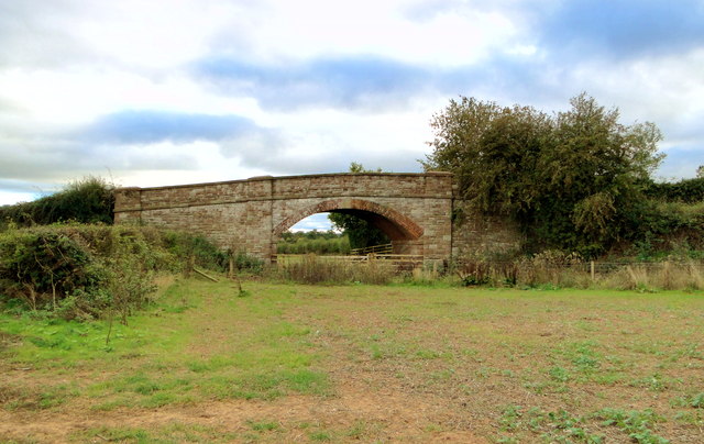
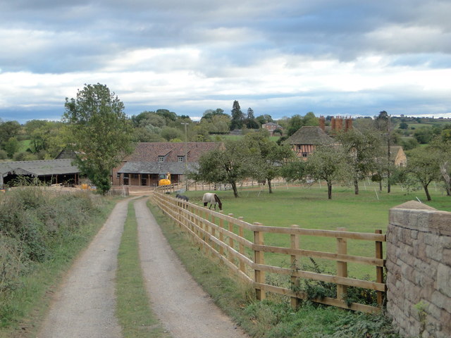
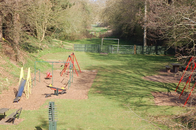
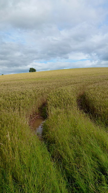
Greenway is a charming village located in the county of Gloucestershire, England. Situated in the picturesque Cotswolds region, this idyllic village offers a serene and tranquil atmosphere. Greenway is surrounded by stunning natural beauty, with rolling hills, lush green fields, and meandering streams.

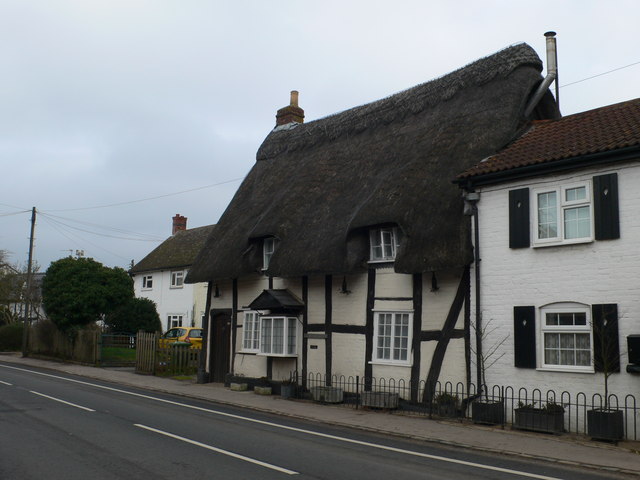
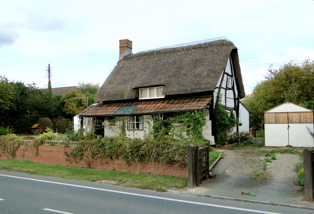
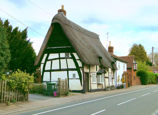
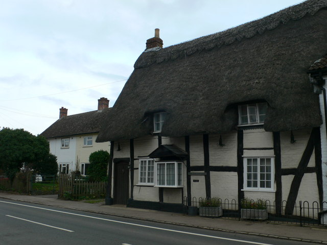
The village itself is small but full of character, with traditional stone houses and quaint cottages lining the streets. The local community is close-knit and friendly, creating a welcoming environment for both residents and visitors. Greenway is known for its sense of community spirit and active involvement in various cultural and social events.

One of the highlights of Greenway is its proximity to the Cotswold Way, a famous long-distance footpath that spans 102 miles. This makes the village a popular destination for hikers and nature enthusiasts, offering breathtaking views of the countryside along the way.

Greenway also boasts several amenities, including a charming village pub that serves delicious traditional English cuisine and a local shop providing essential supplies. For those seeking a bit of history and culture, nearby attractions include Sudeley Castle and Gardens, a magnificent Tudor castle with beautiful gardens, and the charming market town of Cheltenham.

Overall, Greenway, Gloucestershire is a picturesque village in the heart of the Cotswolds, offering its residents and visitors a peaceful and scenic retreat from the hustle and bustle of city life.

If you have any feedback on the listing, please let us know in the comments section below.
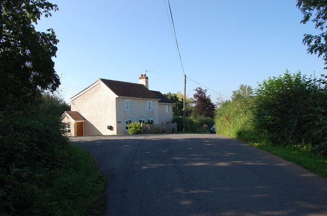
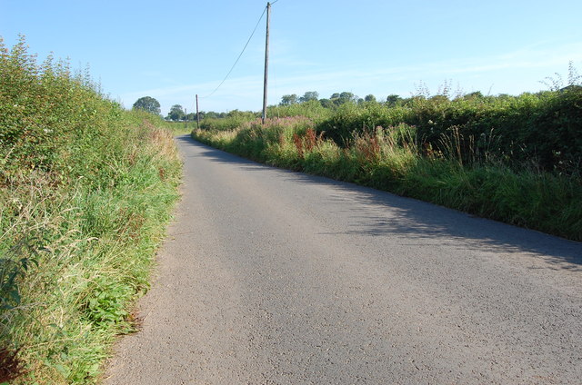
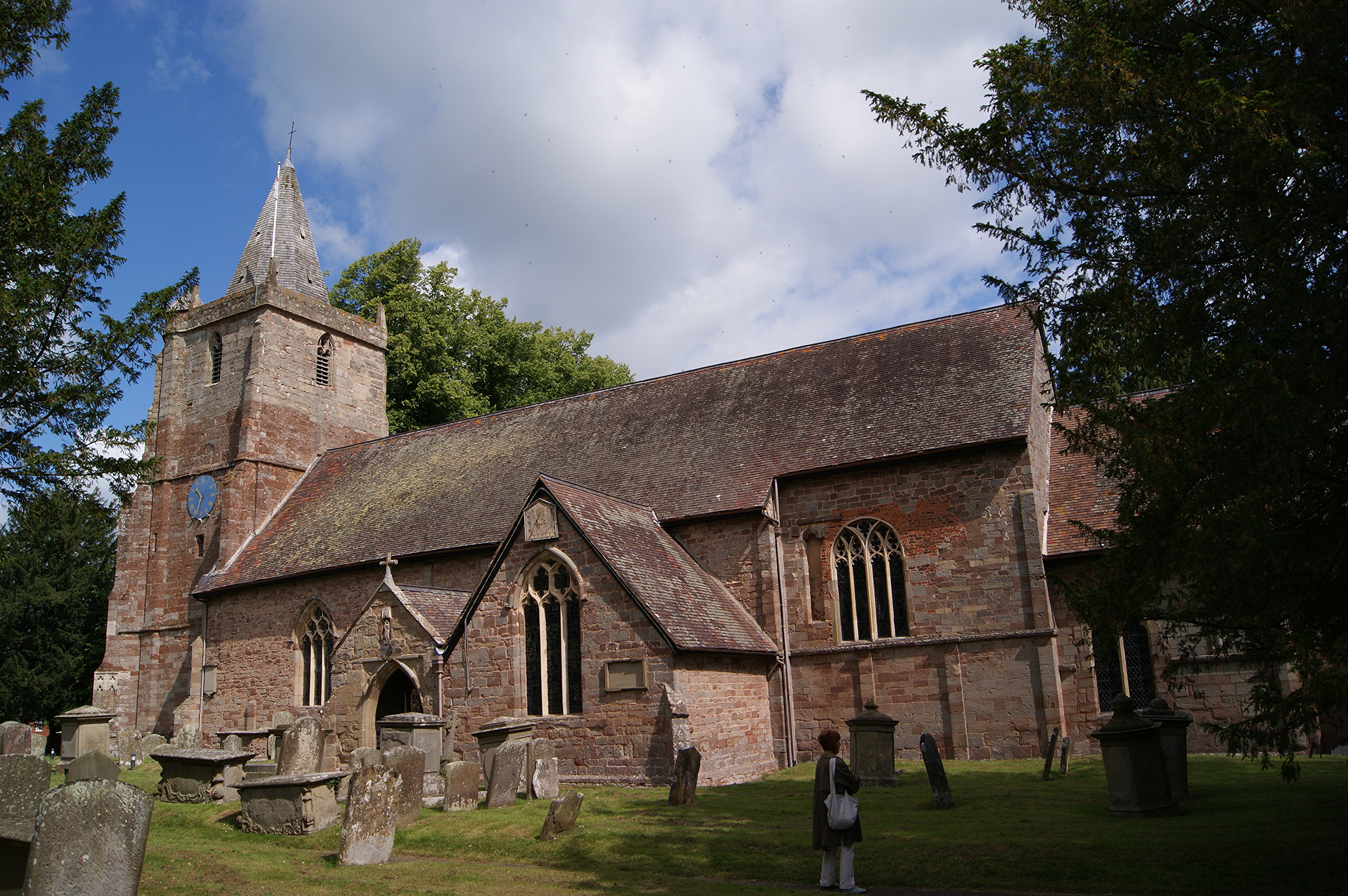
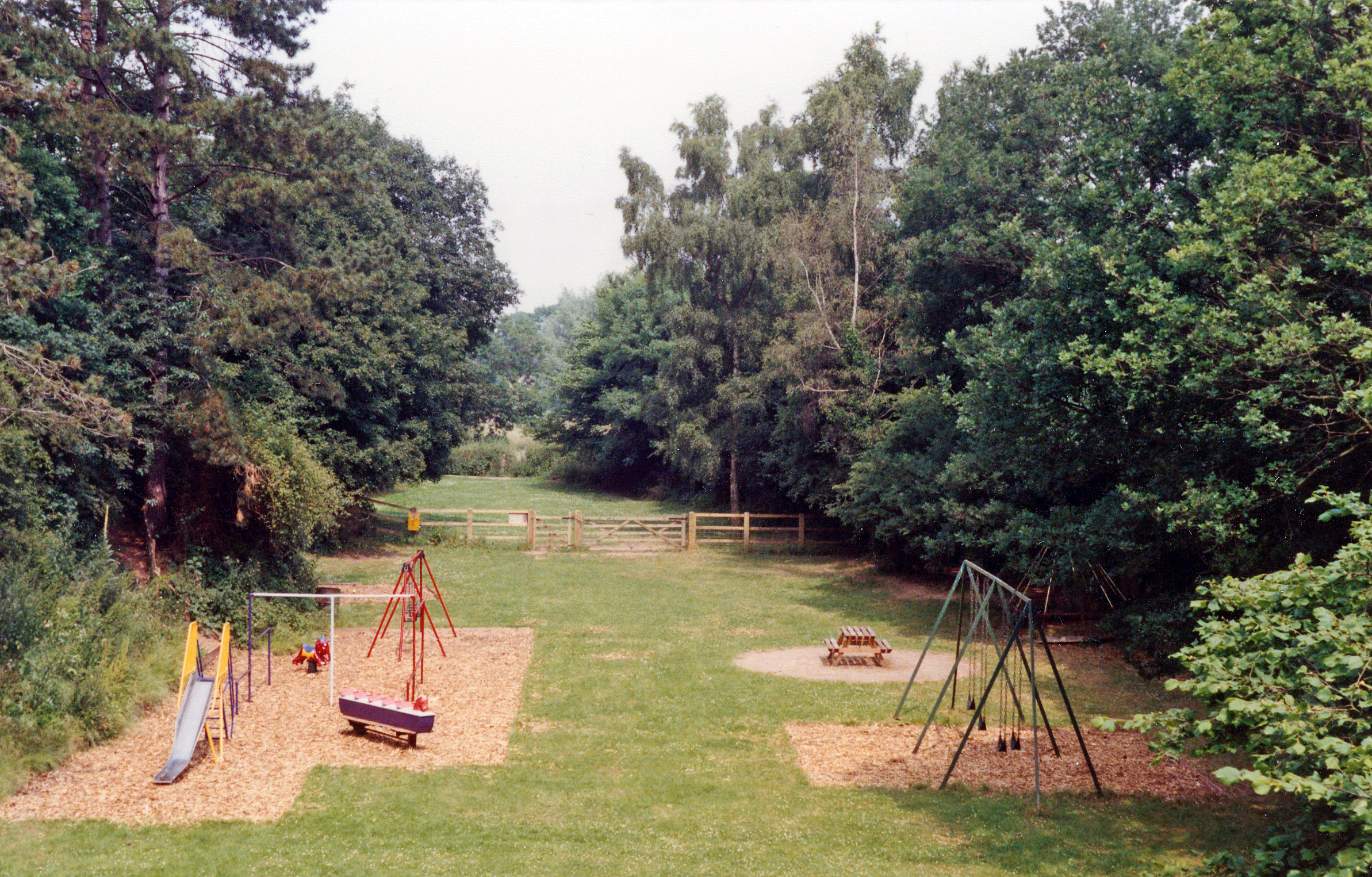
Greenway Images

Images are sourced within 2km of 51.995982/-2.4348596 or Grid Reference SO7033. Thanks to Geograph Open Source API. All images are credited.

Thatched cottage, Dymock
High House, Dymock The former rectory, dating from the early 18th century. Recently smartened up and now flats. In Pevsner, Verey describes the house as 'upstanding' - I can't improve on that.
High House, Dymock
The former rectory, dating from the early 18th century. Recently smartened up and now flats. In Pevsner, Verey describes the house as 'upstanding' - I can't improve on that.
Ann Cam's School, Dymock The former village school, built in 1825.
Ann Cam's School, Dymock
The former village school, built in 1825.
Former railway bridge, Tillers Green Beautifully constructed on a slight skew of brick and stone, this bridge took a farm track over the former GWR branch from Ledbury to Gloucester and may one day straddle the rebuilt Hereford to Gloucester canal, which the railway replaced.
Former railway bridge, Tillers Green
Beautifully constructed on a slight skew of brick and stone, this bridge took a farm track over the former GWR branch from Ledbury to Gloucester and may one day straddle the rebuilt Hereford to Gloucester canal, which the railway replaced.
The lane to Pound Farm, Tillers Green Pound Farm dates from the 16th century and is seen from the former GWR railway bridge at Tillers Green.
The lane to Pound Farm, Tillers Green
Pound Farm dates from the 16th century and is seen from the former GWR railway bridge at Tillers Green.
Woods Cottage, Dymock One of a series of ancient timbered cottages lining the village street in Dymock.
Woods Cottage, Dymock
One of a series of ancient timbered cottages lining the village street in Dymock.
The Old Cottage, Dymock Aptly named cruck cottage on the main street in this attractive village, which is forever associated with daffodils and poets.
The Old Cottage, Dymock
Aptly named cruck cottage on the main street in this attractive village, which is forever associated with daffodils and poets.
Great Wadley, Dymock Large early 19th century house in the village centre. Formerly an inn and a shop, but now just dignified housing. The 1884 datestone is a mystery, however.
Great Wadley, Dymock
Large early 19th century house in the village centre. Formerly an inn and a shop, but now just dignified housing. The 1884 datestone is a mystery, however.
The Old Cottage, Dymock Aptly named grade II listed house on the main street in Dymock.
The Old Cottage, Dymock
Aptly named grade II listed house on the main street in Dymock.
Dymock Village The first view of the historic village centre that would have greeted rail passengers arriving at Dymock station. It's a view that has hardly changed since the railway closed to passengers in 1959.
Dymock Village
The first view of the historic village centre that would have greeted rail passengers arriving at Dymock station. It's a view that has hardly changed since the railway closed to passengers in 1959.
The course of the old railway line in Dymock
Wheat field at Leddington A shallow bowl of land looking east towards the Ledbury Hills.
Wheat field at Leddington
A shallow bowl of land looking east towards the Ledbury Hills.
Wheat field near Leddington A damp but familiar sight in the summer of 2012.
Wheat field near Leddington
A damp but familiar sight in the summer of 2012.
Dome of wheat The field near Leddington is nearing maturity; the farmer will now be praying for an end to the rain.
Dome of wheat
The field near Leddington is nearing maturity; the farmer will now be praying for an end to the rain.
Footpath and lane The Poet's Path No. 2 diverges from the lane to head off left, north-west, towards Preston.
Footpath and lane
The Poet's Path No. 2 diverges from the lane to head off left, north-west, towards Preston.
House near Tillers Green
Unnamed Lane towards Drew's Farm
Crop Fields at Leddington With the Cockshoot Hills in the distance.
Crop Fields at Leddington
With the Cockshoot Hills in the distance.
Show me another place!

Greenway is located at Grid Ref: SO7033 (Lat: 51.995982, Lng: -2.4348596)

Administrative County: Gloucestershire

District: Forest of Dean

Police Authority: Gloucestershire

What 3 Words

///immediate.thick.clings. Near Donnington, Herefordshire

Related Wikis

Greenway Halt railway station (Gloucestershire)

Greenway Halt was a request stop on the former Ledbury and Gloucester Railway. It opened on 1st April 1937 and closed in 1959 when the line was closed...

Donnington, Herefordshire

Donnington is a village and civil parish near Ledbury. == Parish church == The parish church is dedicated to Saint Mary. Donnington Hall is located here...

Vell Mill Daffodil Meadow

Vell Mill Daffodil Meadow (grid reference SO710314) is a 2.1-hectare (5.2-acre) nature reserve in Gloucestershire.The site is owned and managed by the...

Dymock

Dymock is a village and civil parish in the Forest of Dean district of Gloucestershire, England, about four miles south of Ledbury. In 2014 the parish...

St Mary's Church, Dymock

St Mary's Church, Dymock is a Church of England parish church in the center of the village of Dymock in Gloucestershire, England. It is a Grade I listed...

Dymock railway station

Dymock railway station was a stop on the former Ledbury and Gloucester Railway. It opened in 1885 and served the Gloucestershire village of Dymock. It...

Three Counties (Gloucestershire, Herefordshire and Worcestershire)

The Three Counties of England are traditionally the three agrarian counties of Gloucestershire, Herefordshire and Worcestershire.Including towns and cities...

Preston, Forest of Dean

Preston is a village, former manor, civil and ecclesiastical parish in the Forest of Dean in Gloucestershire, England. It is situated 22 km north-west...

Nearby Amenities

Located within 500m of 51.995982,-2.4348596
Greenway Halt
Abandoned Railway: station
Railway: site
Source: NPE
Wikidata: Q5604781
Wikipedia: en:Greenway Halt railway station (Gloucestershire)
Lat/Long: 51.9977828/-2.4397793
Bus Stop
Greenway Cross
Naptan AtcoCode: 1600GLA36645
Naptan Bearing: E
Naptan CommonName: Greenway Cross
Naptan NaptanCode: glogmgpw
Naptan Street: Broom's Green Rd
Naptan Verified: no
Source: naptan_import
Lat/Long: 51.9962962/-2.4345569
Bus Stop
Greenway Cross
Naptan AtcoCode: 1600GLA36646
Naptan Bearing: W
Naptan CommonName: Greenway Cross
Naptan NaptanCode: gloamjmd
Naptan Street: Broom's Green Rd
Naptan Verified: no
Source: naptan_import
Lat/Long: 51.9962151/-2.4345998
Greenway Cross
Is In: Gloucestershire, England, UK
Place: locality
Lat/Long: 51.996555/-2.4349673
Bus Stop
Greenway Poets' Path
Naptan AtcoCode: 2090A132100
Naptan Bearing: N
Naptan CommonName: Greenway Poets' Path
Naptan Indicator: adj
Naptan Landmark: N/K
Naptan NaptanCode: heragadw
Naptan Street: N/K
Naptan Verified: no
Source: naptan_import
Lat/Long: 51.9971544/-2.4344016
Bus Stop
Greenway Poets' Path
Naptan AtcoCode: 2090A132101
Naptan Bearing: S
Naptan CommonName: Greenway Poets' Path
Naptan Indicator: adj
Naptan Landmark: N/K
Naptan NaptanCode: heragaga
Naptan Street: N/K
Naptan Verified: no
Source: naptan_import
Lat/Long: 51.9971587/-2.4342143
Post Box
Collection Times: Mo-Fr 16:30; Sa 08:45
Post Box Type: lamp
Ref: GL18 357
Royal Cypher: EIIR
Royal Cypher Wikidata: Q33102113
Lat/Long: 51.9960118/-2.4347638
Power: pole
Lat/Long: 51.9917314/-2.4336212
Power: pole
Lat/Long: 51.9924738/-2.4341307
Power: pole
Lat/Long: 51.9932469/-2.4346849
Power: pole
Lat/Long: 51.9939824/-2.4352018
Power: pole
Lat/Long: 51.9941197/-2.4353002
Power: pole
Lat/Long: 51.9945055/-2.4355655
Power: pole
Lat/Long: 51.9951267/-2.4356265
Power: pole
Lat/Long: 51.9958284/-2.4356975
Power: pole
Lat/Long: 51.9966804/-2.4355941
Power: pole
Lat/Long: 51.9974746/-2.4352522
Power: pole
Lat/Long: 51.9998677/-2.4345772
Power: pole
Source: bing
Lat/Long: 51.9990693/-2.434743
Power: pole
Source: bing
Lat/Long: 51.9982832/-2.4348637
Power: pole
Lat/Long: 51.9919121/-2.4379188
Power: pole
Lat/Long: 51.9920438/-2.4370109
Power: pole
Lat/Long: 51.9921999/-2.4359863
Power: pole
Lat/Long: 51.9922965/-2.4353519
The data included in this document is from www.openstreetmap.org. The data is made available under ODbL.

Have you been to Greenway?

Leave your review of Greenway below (or comments, questions and feedback).